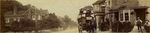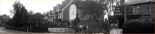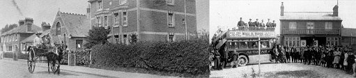
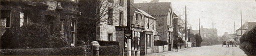
Romford
Romford and its approaches. An ancient hamlet on the extremity of
Pembury.
These maps may be of use to anyone trying to locate buildings
and landmarks mentioned in various articles.
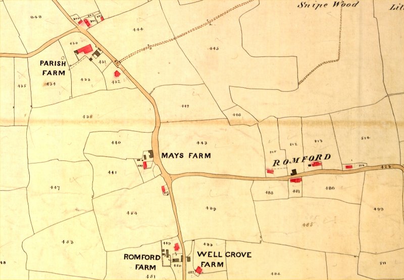
Above Romford from the Tithe map of 1840 (orientation: North to top right)
Above Romford from the Tithe map of 1840 (orientation: North to top right)
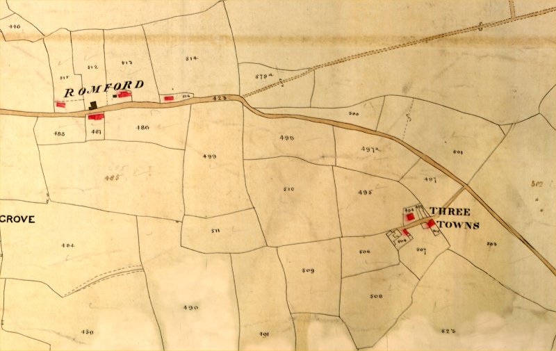
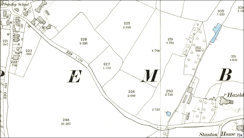
Above 1892 – 1905 map centred on Romford
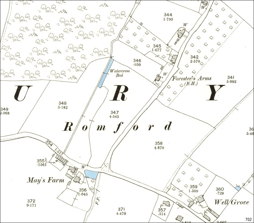
Above 1892 – 1905 map west of Romford at junction with Woodside.
Above
1892 – 1905 map Romford Road from Lower Green
to junction with Woodside.
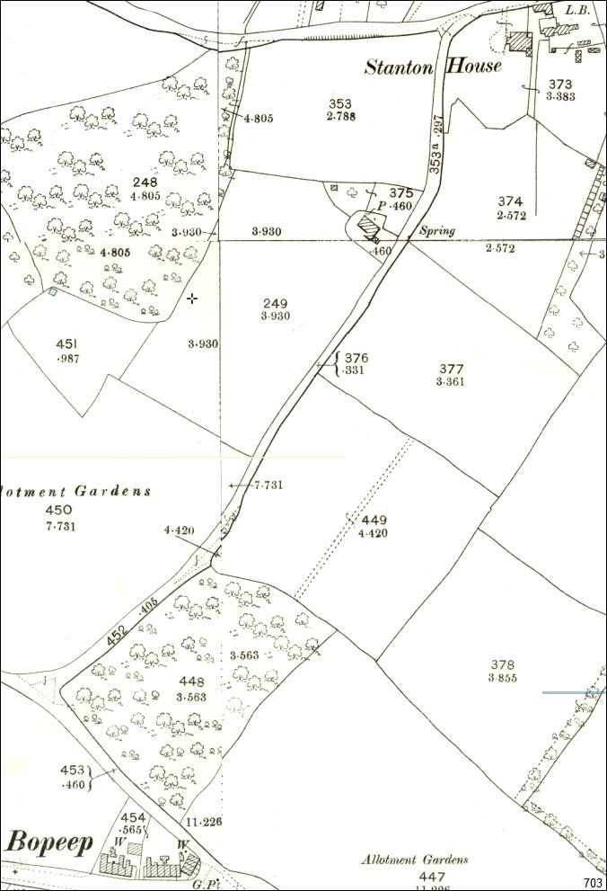
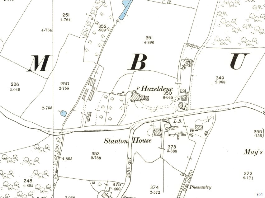
Above 1892 – 1905 Woodside from Romford to Bopeep.
Woodside Road was known as Workhouse Lane from the days when Stanton House was a workhouse.
Tony Nicholls 2016