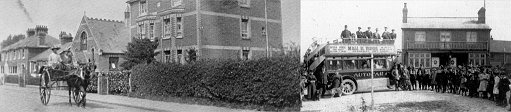
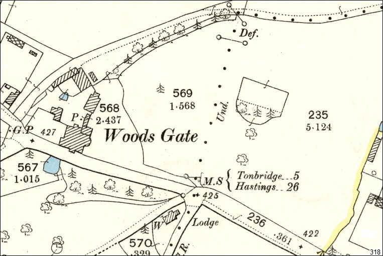
Localities - Woodsgate Woodsgate Corner is mentioned in all the old writings on Pembury. The old manor house was demolished in The following maps highlight various aspects of the Woodsgate Corner. A map of 2010 is being compared with a map of 1868. With all the clutter and non-essential detail removed from .. 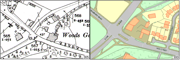
Left – 1868, Right 2010. The 1868 map shows a 3 way junction and narrow roads. 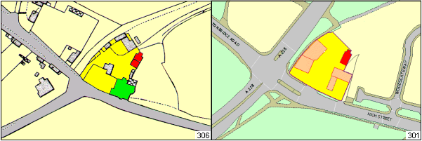
The shape of the plot is easy to identify, as well as the location of an existing out-house, shown in red. Woodsgate Swimming Pool 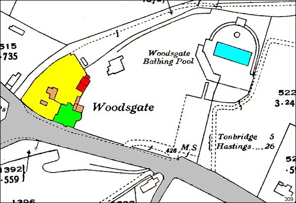
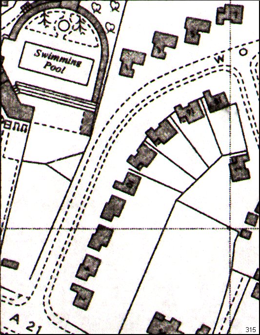
1936 map of Woodsgate featuring the swimming pool.
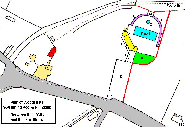
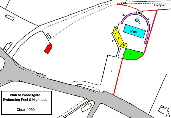
The 1936 map is modified to show greater detail of the swimming pool, cafe & nightclub. This is assumed to be the large blank area to the left of the pool and its car park. Ken Isaac has been in touch with the following information regarding the swimming pool area. The following key identifies features on the map. A Boys changing huts. Fenced perimeter marked in red.
Woodsgate Way did not exist at this time – shown for reference purpose only.
Woodsgate House was demolished in 1960 and is shown here for reference only.
Diving boards at the left side of the pool – the boys changing huts end.
Swimming pool ownership – Frank Holden in the 1960s. (KI)
– Mr Hemsley, then Mr Gervadi (JM)
. 
The map above shows Woodsgate Corner after the demolition of Woodsgate House in 1960.
The Pool area remains.
There is little evidence of what else was on this site.
The outbuilding
marked in red is shown on this map because it, or a rebuilt replica, is
still in place. It is behind the Texaco building but is owned and
managed by the Pembury Autos business.
. 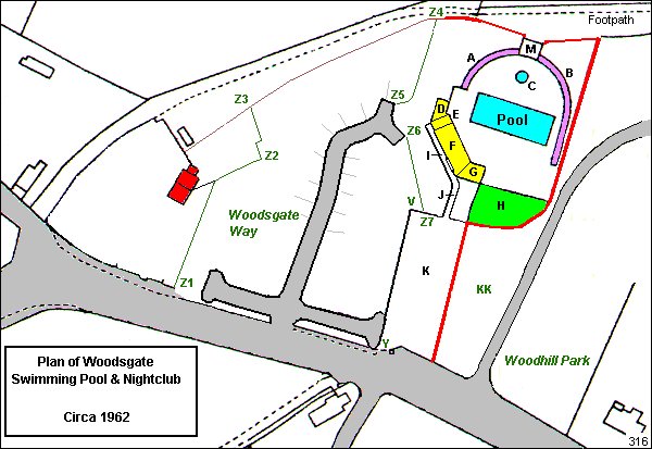
The map above shows the development of Woodsgate Way and Woodhill Park housing estates.
Woodsgate Way is bounded by Z1 ,Z2, Z3, Z4, Z5, Z6, Z7, V, Y.
Housing was developed on the east (right-hand) side of Woodhill Park.
Jane Mulvihill reports that Woodhill Park was built by Gough Cooper and Woodsgate Way was built by Normans.
Plot ‘KK’ is reported as rough, unused ground.
There is an aerial view of Woodsgate from the 1906s (see link lower down the page).
The photo shows Woodsgate Way developed before Woodhill Park.
. 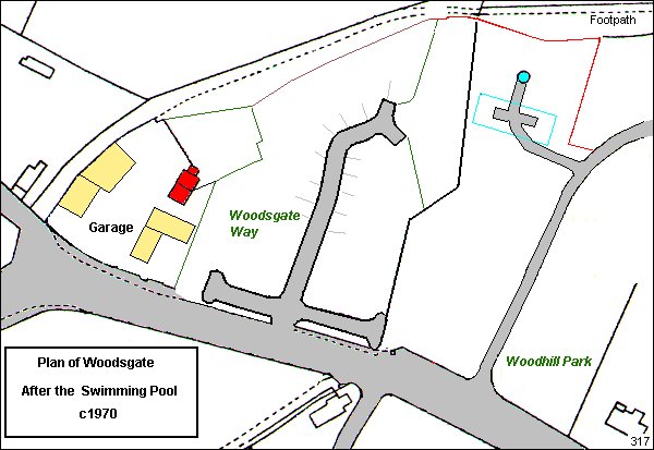
The map above is around 1970 after the closure and demolition of the swimming pool.
The map shows the old location of the pool.
A few extra houses were added to Woodsgate Way, and new houses added to the west of Woodhill Park.
This map also shows the new garage buildings.
. 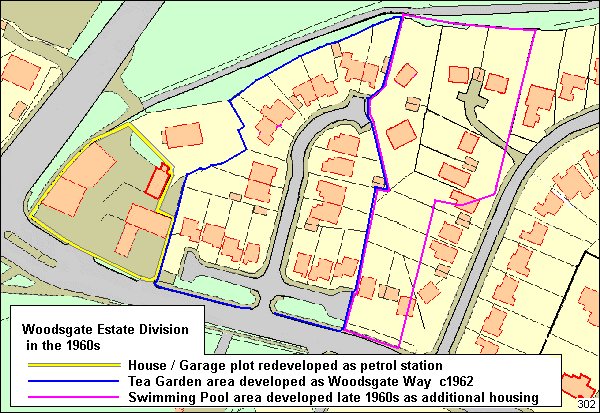
A modern map of the Woodsgate area showing the plot previously occupied by the pool its buildings and land.
Interesting to see the new housing plots structured from the old pool and tea gardens plots.
.  A small portion of a 1963 map showing a part of the pool site. Note the small building on the left approach into Woodhill Park.
This piece of land is noted as ‘KK’ on one of the maps above.
The building has been noted by Jane Mulvihill as a wooden shack, thought to be used as an ice-cream kiosk.
..  Above 1892 – 1905 map with an enclosure or a field at the location of the future swimming pool. … .
.
If you have any further updates, corrections or arguments over this data please quote the reference number
in the lower-right corner of each map. ( ie 310, 314, etc)
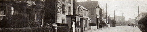
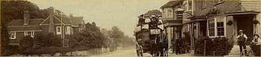
.. Tony Nicholls 2017 Below: Two images of Woodsgate and the swimming pool from a 1940 aerial survey 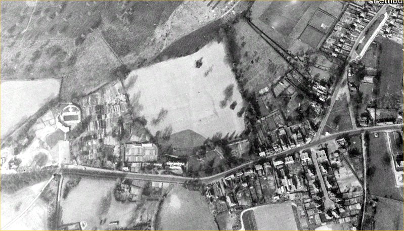 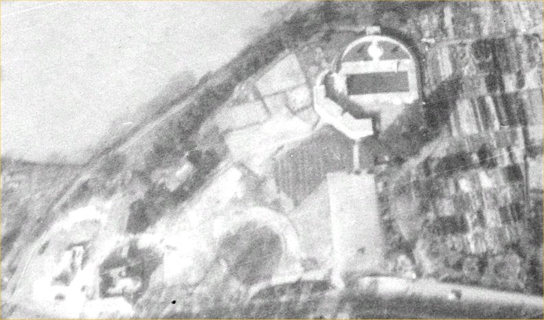
The following maps do not have much historical significance. The example here feature the Woodsgate area. 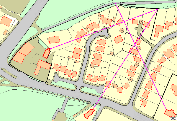
The 2009 map of the same area to help locate the site of the pool. 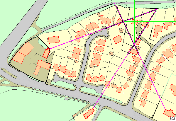
The intersections of the original vector lines are used as origins of the new green lines –
The business part of both maps showing the common vector lines. .. Earlier identified Woodsgate Plot To get greater resolution within a plot it is possible to generate lines from trusted corners or features. 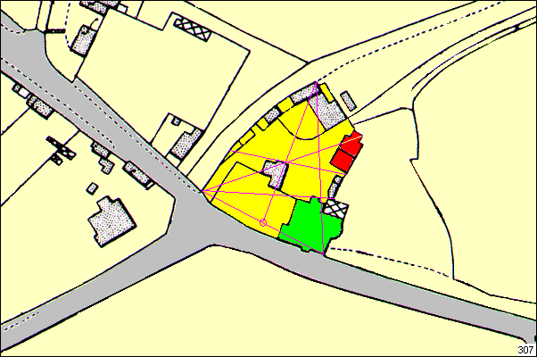
Vector lines created from sets of two anchor points .. 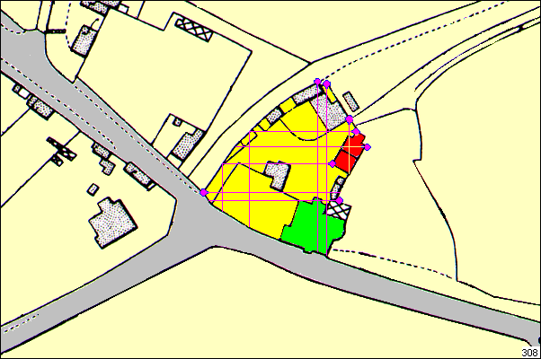
Vector lines created from single anchor points. In 2019 Edward Gilbert produced an article for his web site allabouttunbridgewells.com about the swimming pool. Much of the information was derived from this site. The articles for the Edward Gilbert web site are only present for one month then taken down, to be replaced with fresh articles. Here is a copy of the Swimming Pool article from January 2019 — Link to Ed Gilbert’s Article.
Contributors to this page JH Jill Hickmott KI Ken Issac KM Jane Mulvihill MC Melvyn Cole Tony Nicholls 2017 Localities - Woodsgate
IMPORTANT !!! This needs your help. All contributions will be credited. If you have any further information or corrections please contact me – Tony Nicholls email: pemburyhistory@gmail.com |