Past Pages
Antique Maps, Prints and Ephemera
Antique Maps of Central America & West Indies
Mexico, Guatemala, Panama, etc
Central America |
|
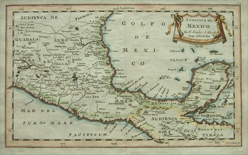 |
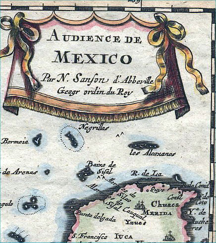
Mexico
Sanson 1683
size: 290 x 180
mm Ref BAM025 £140.00 (+P&P) Detail click image for enlargement |
 |
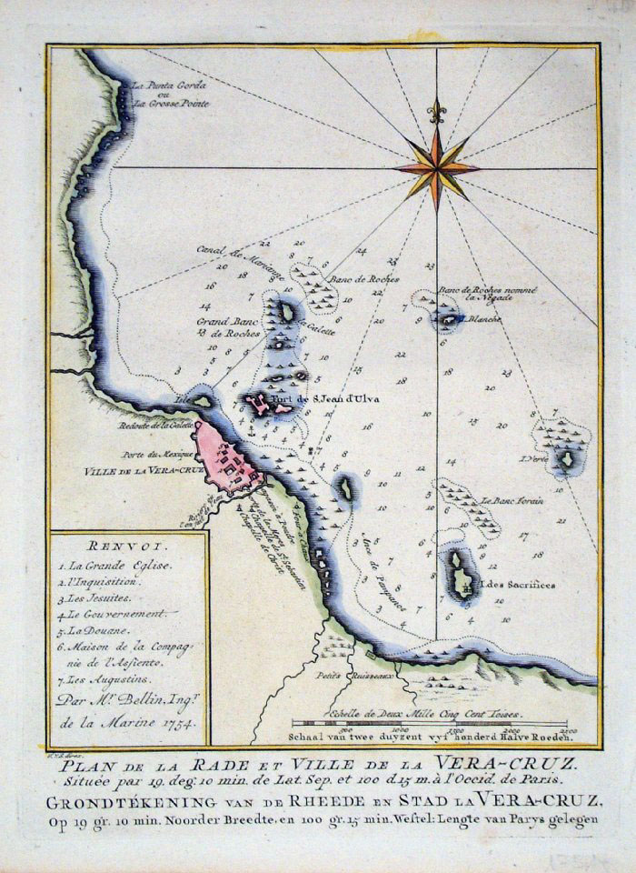
Vera
Cruz,
Mexico Gazettiere Americano 1763 size: 280 x 230 mm Ref FLM008 £48.00 (+P&P) click image for enlargement |
 |
Vera
Cruz,
Mexico Jacob Schley c1755 size: 160 x 220 mm Ref FLM009 £48.00 (+P&P) click image for enlargement |
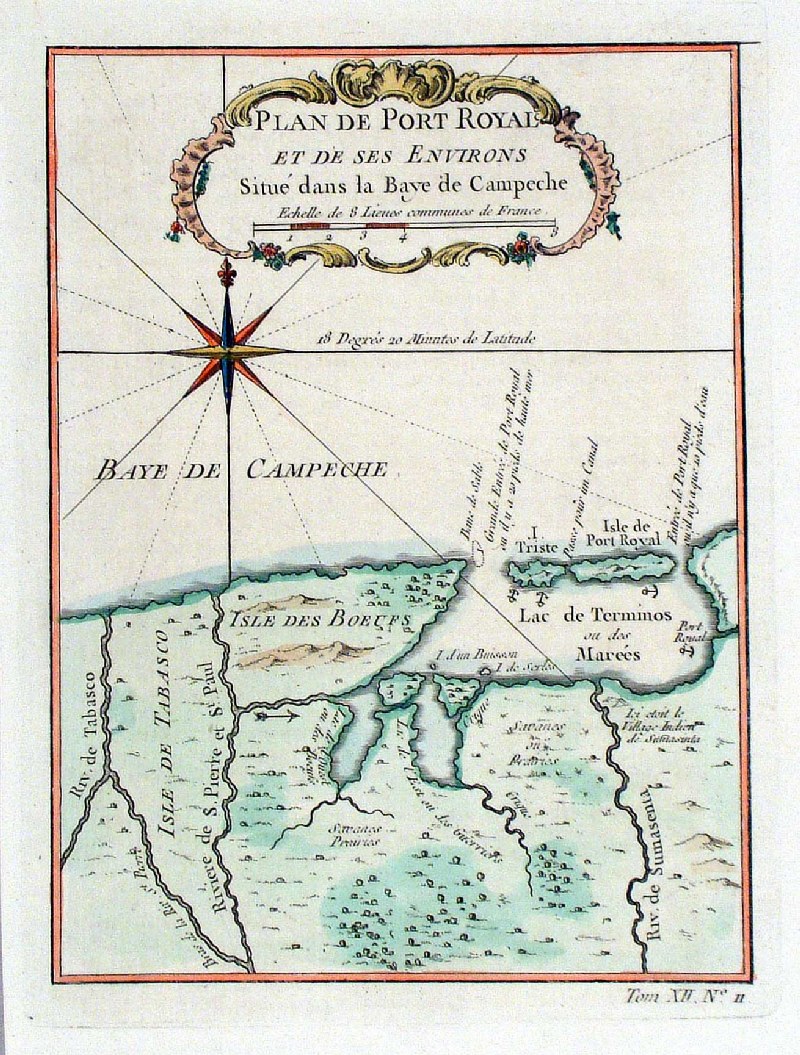 |
Plan de Port Royal et de ses Environs Situe
dans
la Baye de Campeche Bellin c1764 Campeche Bay, Mexico size: 160 x 210 mm Ref HBS091 £38.00 (+P&P) click image for enlargement |
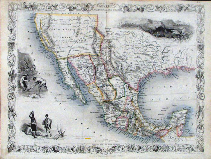 |
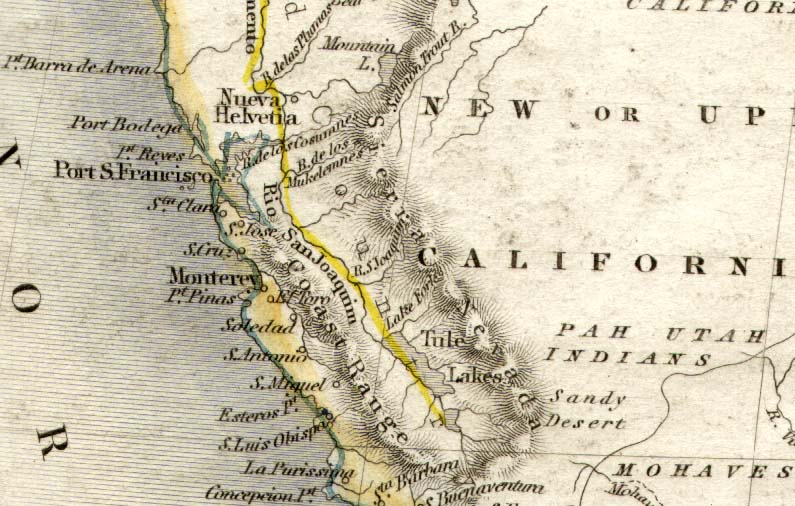
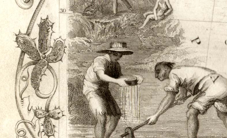
Mexico and California
Tallis c1850 size:
350 x
265 mm Ref FLM236 £135.00 (+P&P) Detail 1 Detail 2 click image for enlargement |
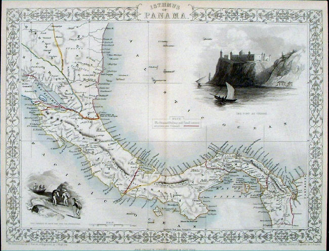 |
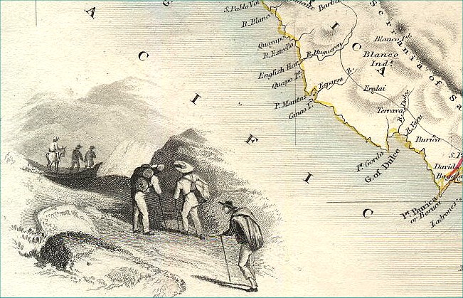
Panama Isthmus of Panama
Tallis
c1855 steel engraving size: 340 x 270 mm, centre fold Ref EFM009 £50.00 (+P&P) Detail click image for enlargement |
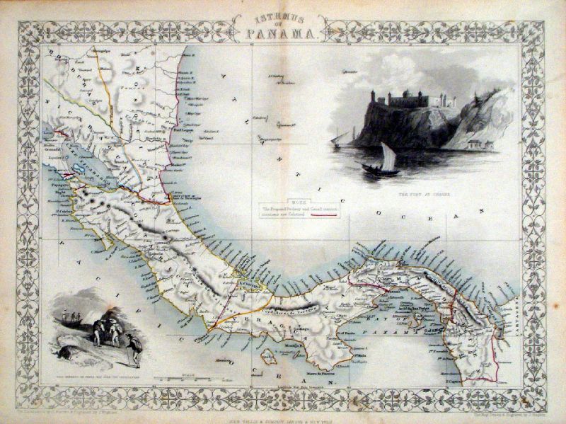 |
Panama Isthmus of Panama
Tallis
c1855 steel engarving size: 340 x 270 mm, centre fold Ref KGM064 £50.00 (+P&P) click image for enlargement |
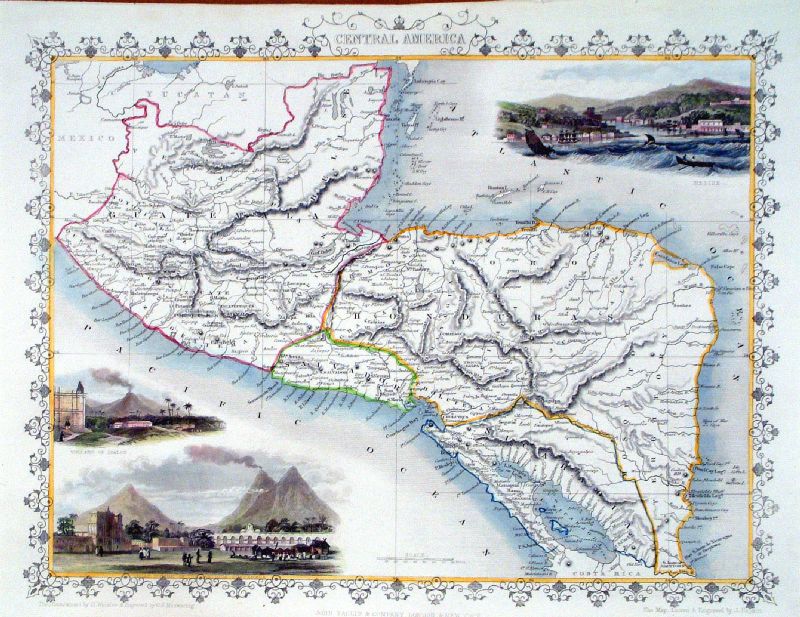 |
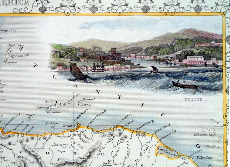
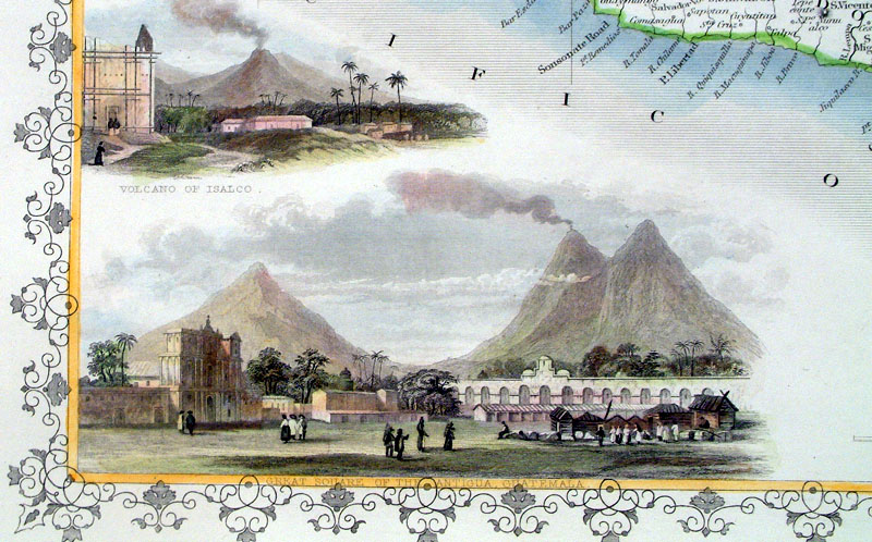
Central
America
Tallis
1851 size: 340 x 270 mm centre fold Ref KGM060 £80.00 (+P&P) Detail 1 Detail 2 click image for enlargement |
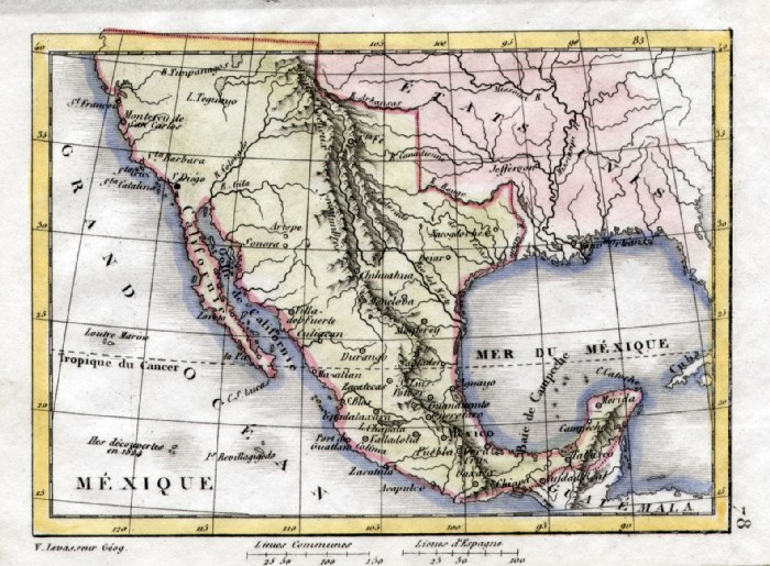 |
Mexico V. Levasseur
c1835 size: 130 x 100 mm Ref HAM110 £25.00 (+P&P) click image for enlargement |
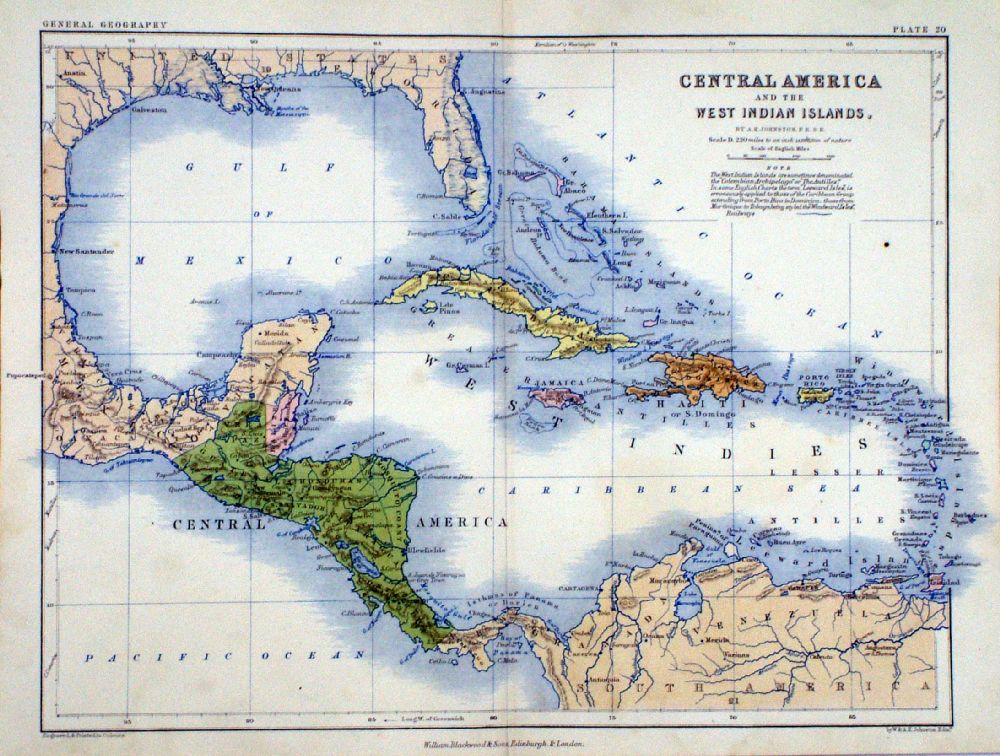 |
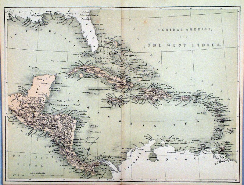
Central America and
The West Indian Islands A.K. Johnston / William Blackwood 1854 size: 320 x 250 mm, centre fold. Early full colour lithographic printing. Ref LKM008 £20.00 (+P&P) click image for enlargement |
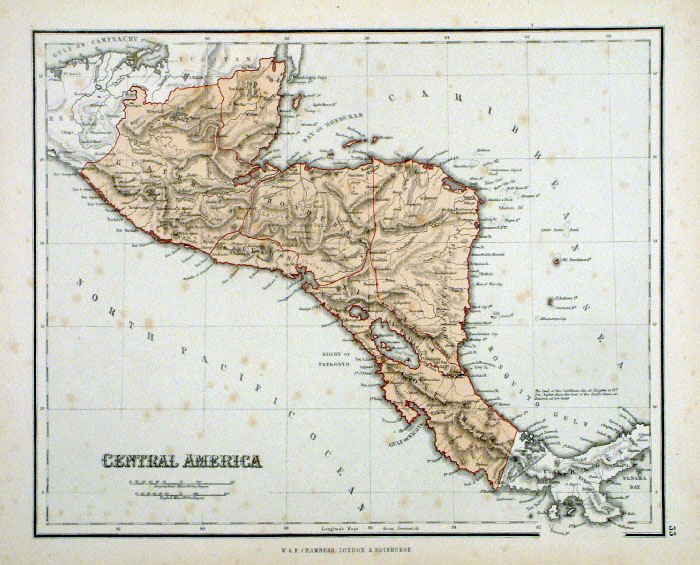 |
Central
America
Chambers
1855
size:
300x 240 mm Some spots of discolouration Ref FDM154 £18.00 (+P&P) click image for enlargement |
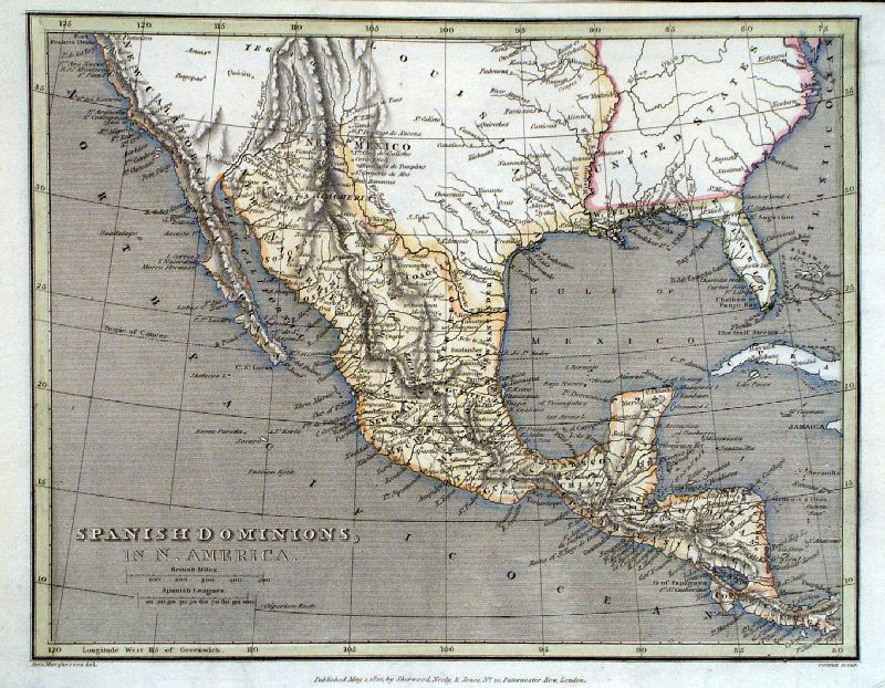 |
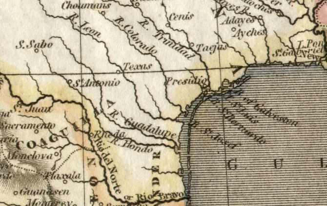
Mexico and Guatemala Spanish Dominions in North
America
Alex Macpherson and Cooper 1810 size: 250 x 200 mm Ref GCM016 £28.00 (+P&P) Shows Texas as a small town - Detail click image for enlargement |
 |
Mexico, Guatemala and West Indies
John Dower / James Cornwell
c1850 Ref GFM064 £20.00 (+P&P) size: 150 x 95 mm, slightly soiled surface, pencil marks on reverse. click image for enlargement |
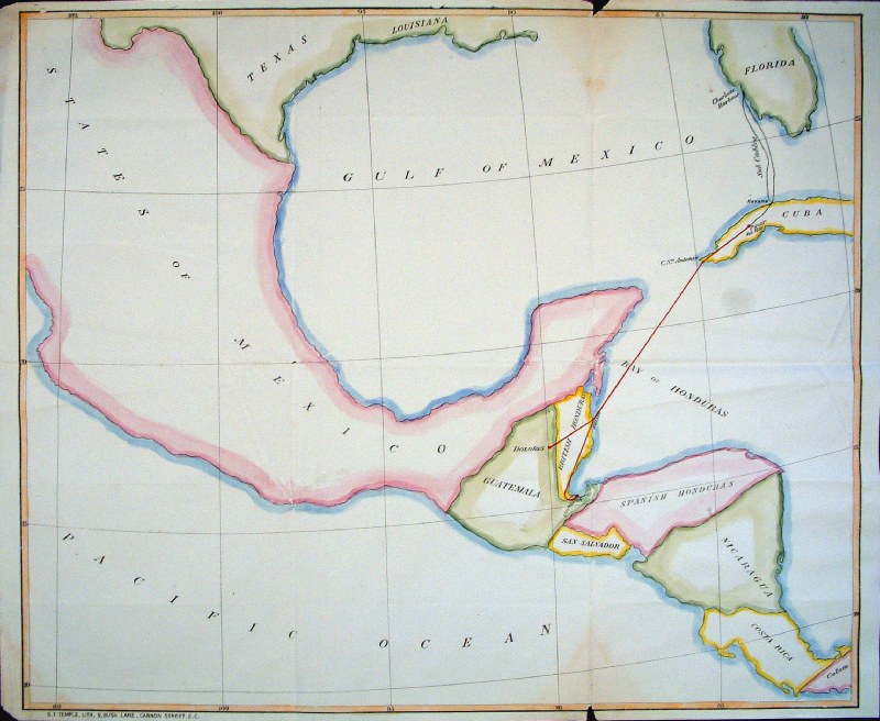 |
Gulf of
Mexico S.T.
Temple
Litho c1880 Routes from Florida to Guatemala, via Cuba, highlighted in red. Ref GIM047 £24.00 (+P&P) size: 620 x 520 mm, several folds, small repairs at split folds. This item to be shipped folded flat. click image for enlargement |
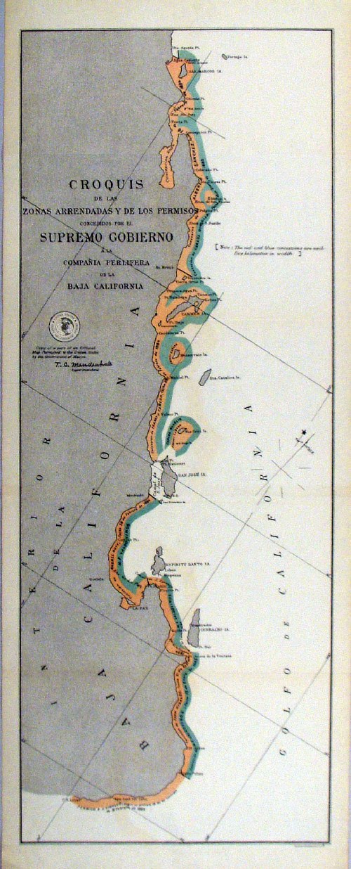 |
'Croquis de las Zonas Arrendadas Y de los Permisos concedidos por el Supremo Gobierno a la Compania Perlifera de la Baja California' United States Coast and Geodetic Survey 1895 Map of the Pearl Fishing concessions at Baja California Litho size: 220 x 550 mm Ref HLM040 £35.00 (+P&P) click image for enlargement |
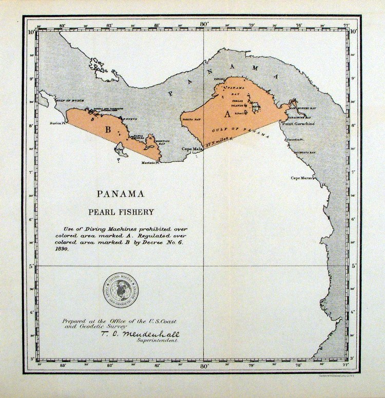 |
'Panama Pearl Fishery' United States Coast and Geodetic Survey 1895 Map of the regulated Pearl Fishing grounds of Panama Litho size: 210 x 220 mm Ref HLM041 £30.00 (+P&P) click image for enlargement |
West Indies & Caribbean |
|
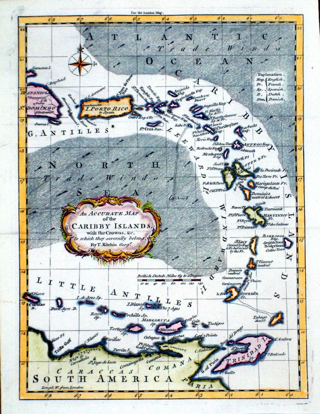 |
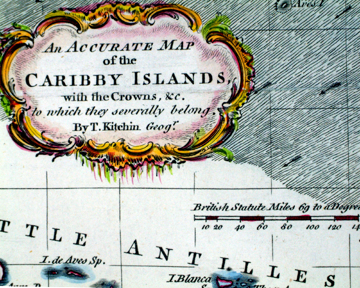
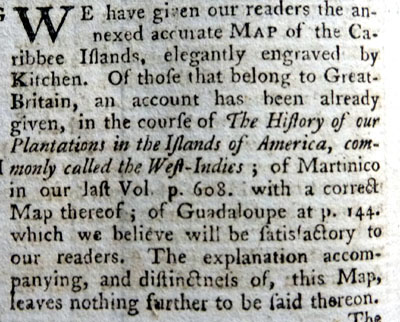
An Accurate Map of
the Caribby Islands with the Crowns .... Thomas Kitchin / London Magazine 1759 Copper engraving. size: 195 x 255 mm, 2 folds Ref LLM026 £180.00 (+P&P) Detail 1759 Text click image for enlargement |
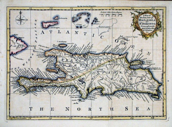 |
Hispaniola (Dominican Rep & Haiti)
A Map of the Island of Hispaniola or St Domingo Thomas Kitchin 1758 (London Magazine) size: 270 x 190 mm two folds. Ref FLM211 £85.00 (+P&P) click image for enlargement |
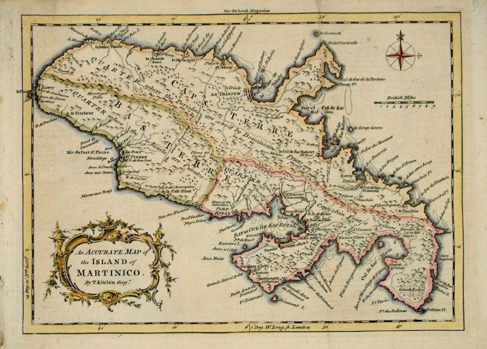 |
An Accurate Map of the Island of
Martinico
Martinique Thomas Kitchin 1758 (London Magazine) size: 270 x 190 mm two folds. Ref FLM212 £80.00 (+P&P) click image for enlargement |
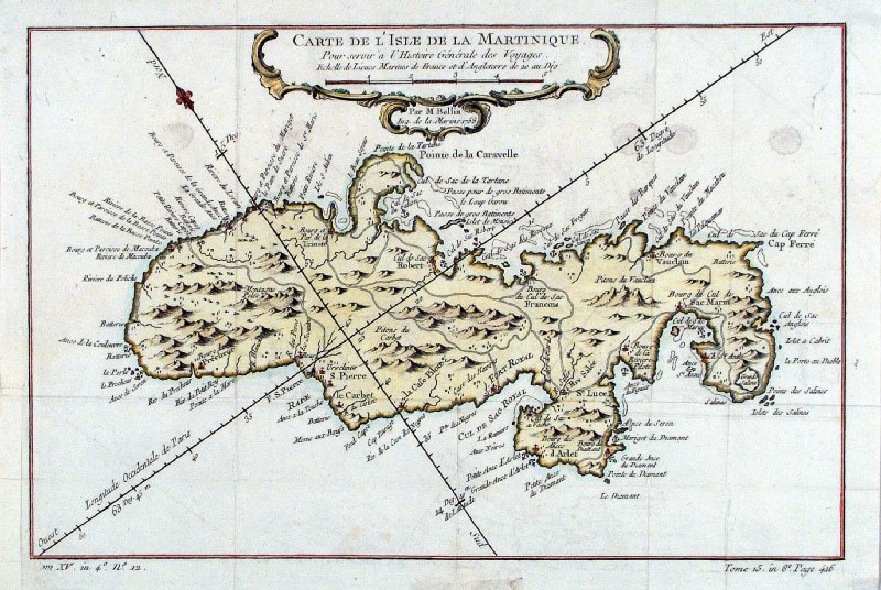 |
Martinique ' Carte de L'Isle de
la
Martinique' Bellin c1764 size: 330 x 210 mm, several folds Ref HBS083 £80.00 (+P&P) click image for enlargement |
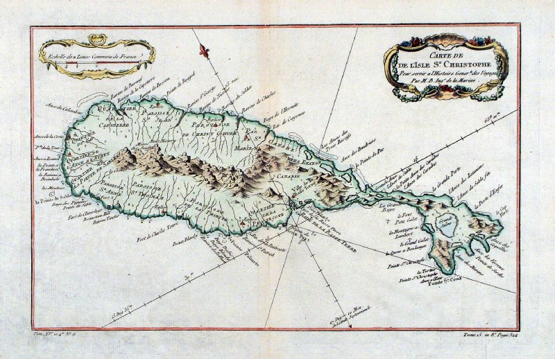 |
St Kitts ' Carte de de L'Isle St
Christophe' Bellin c1764 size: 340 x 220 mm, centre fold, slight crease at lower-left corner Ref HBS084 £80.00 (+P&P) click image for enlargement |
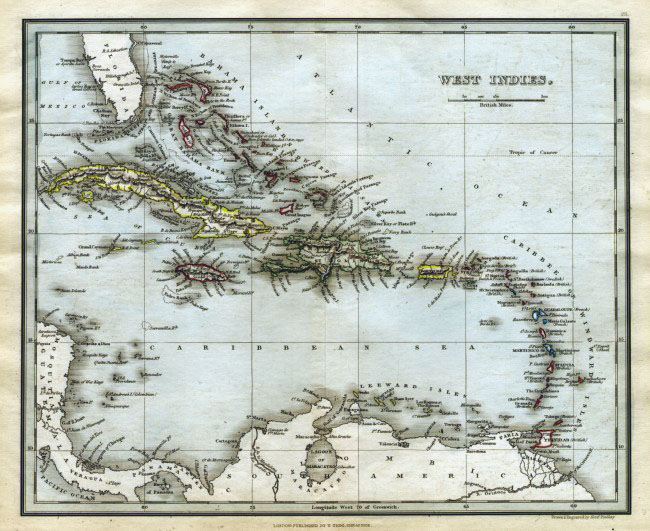 |
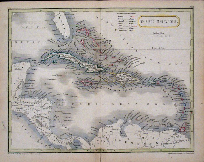
West
Indies Findlay /
Tegg 1845
size 300 x 240 mm Ref ELM091 £28.00 (+P&P) click image for enlargement |
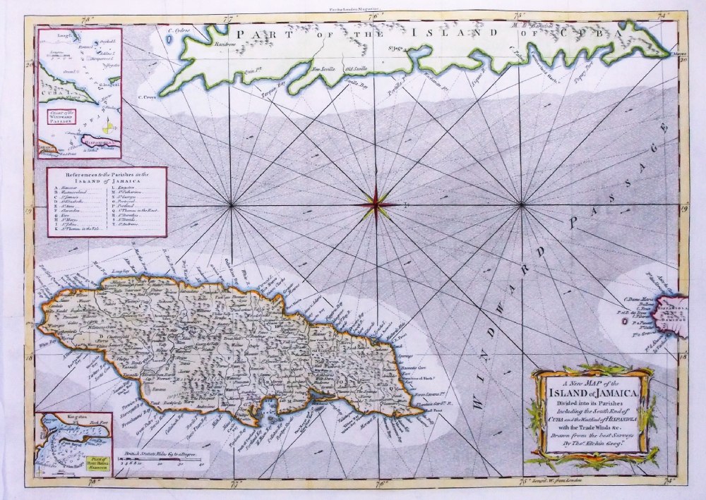 |
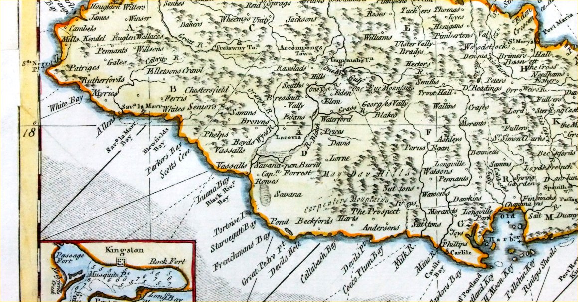
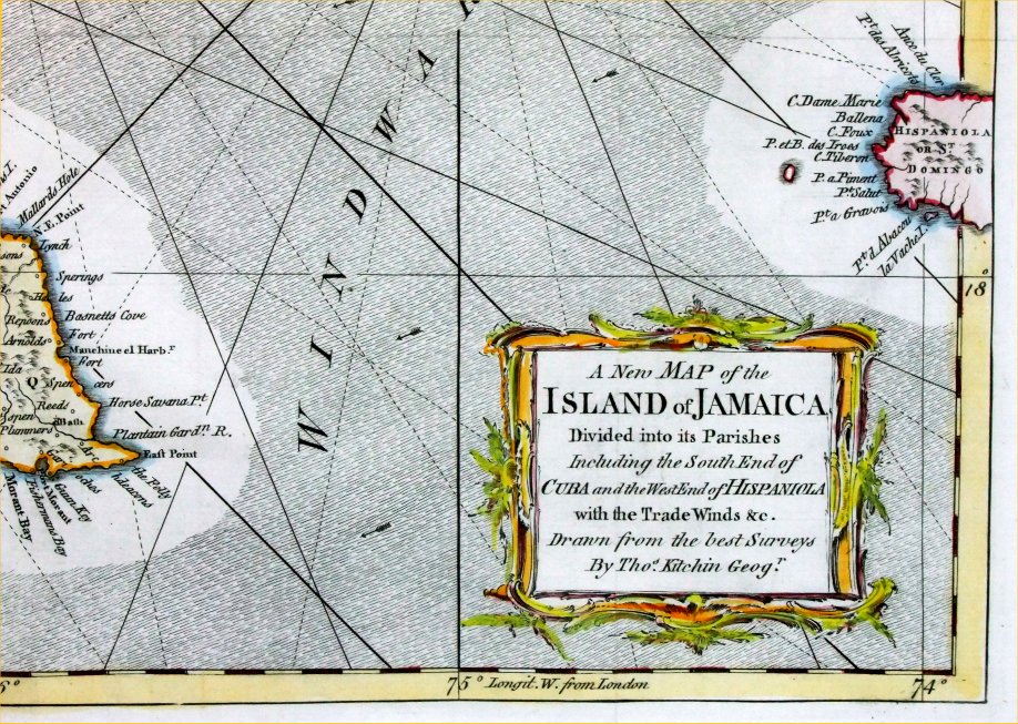
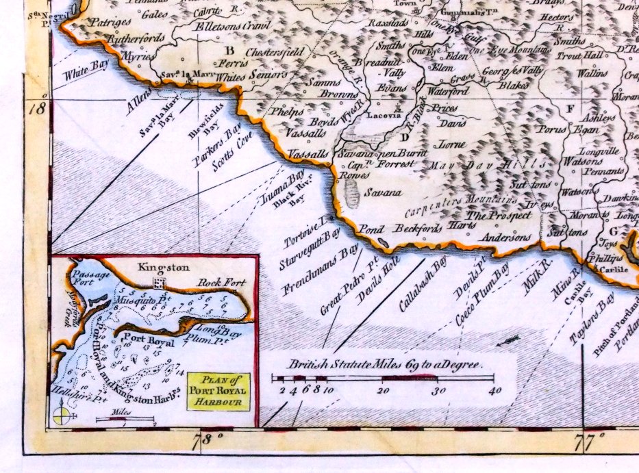
A New Map of the
island of Jamaica, divided into its parishes, including the South End of Cuba and the West End of Hispaniola Thomas Kitchin 1763 (London Magazine) Copper engraving size: 440 x 320 mm, several folds, strengthened left margin Detail 1 Detail 2 Detail 3 Ref PGM007 £240.00 (+P&P) click image for enlargement |
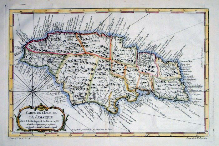 |
Jamaica
Bellin
c1764 size: 320 x
200 mm Ref FLM010 £90.00 (+P&P) click image for enlargement |
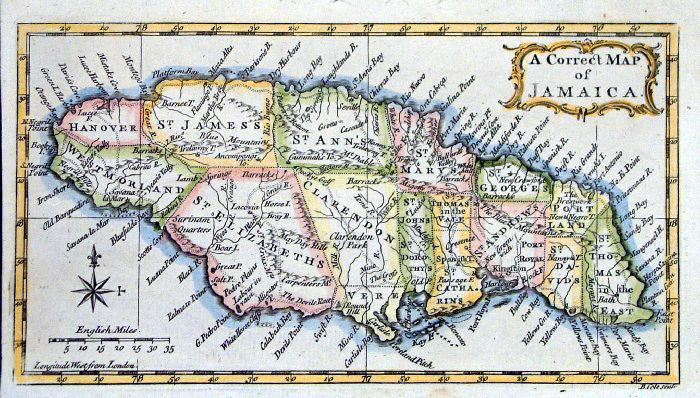 |
Jamaica
Benjamin Cole c1760
size:
200x 115 mm Ref FHM025 £65.00 (+P&P) HHM001 click image for enlargement |
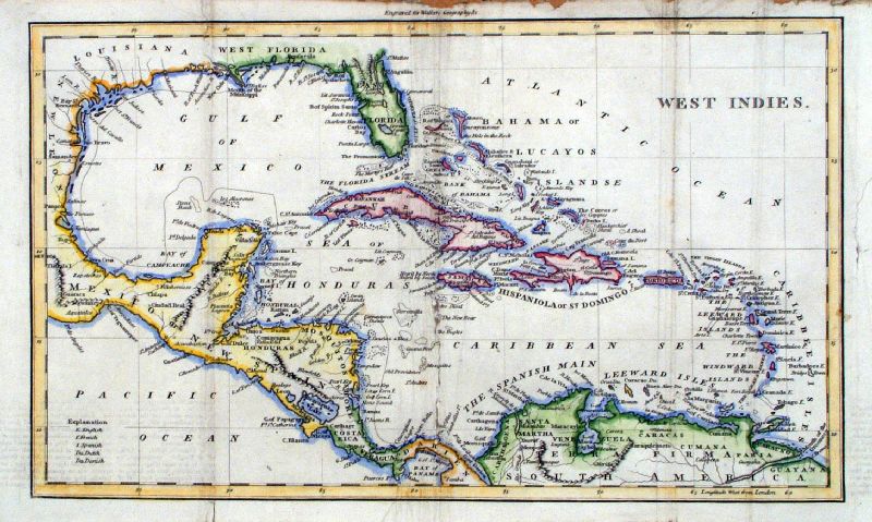 |
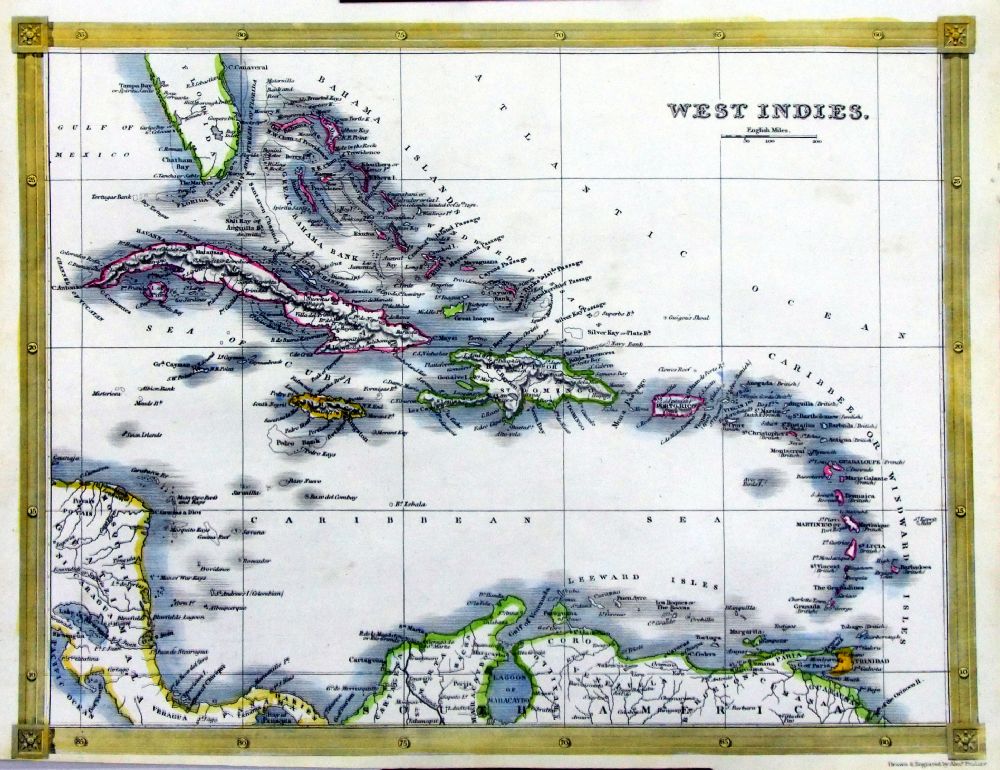
West Indies Walker
size 330 x 200 mm Several folds, repair to centre fold. Ref IIM012 £28.00 (+P&P) click image for enlargement |
 |
West Indies Walker
size 330 x 200 mm Several folds, small repair to split fold. Ref FKM004 £28.00 (+P&P) click image for enlargement |
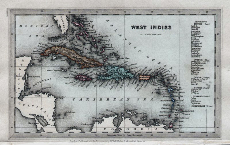 |
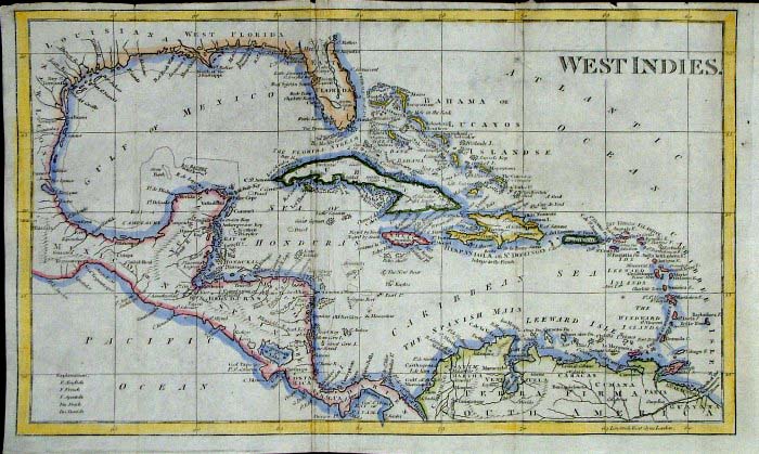
West Indies Thomas Starling 1834
size: 160 x 100 mm Ref GBM326 £26.00 (+P&P) click image for enlargement |
 |
West Indies
Thomas Kelly 1841
engraved by Alex Findlay size: 200x 260 mm tight lower margin Ref OHM023 £18.00 (+P&P) click image for enlargement |
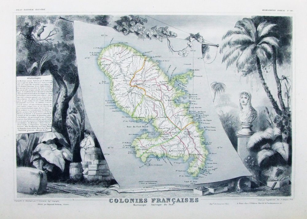 |
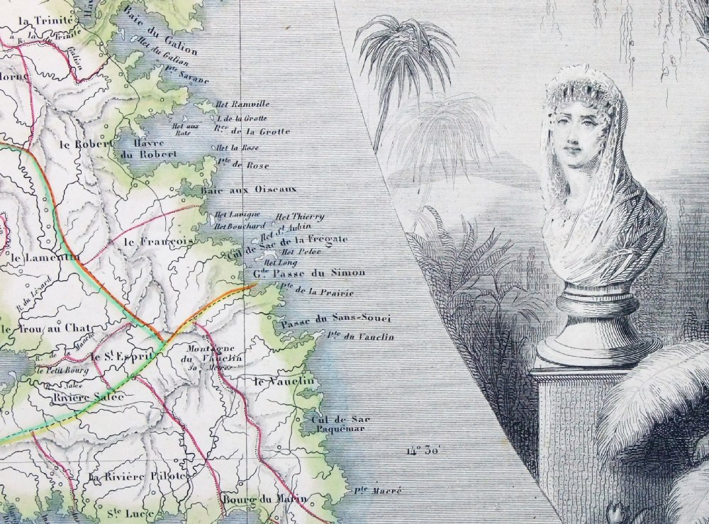
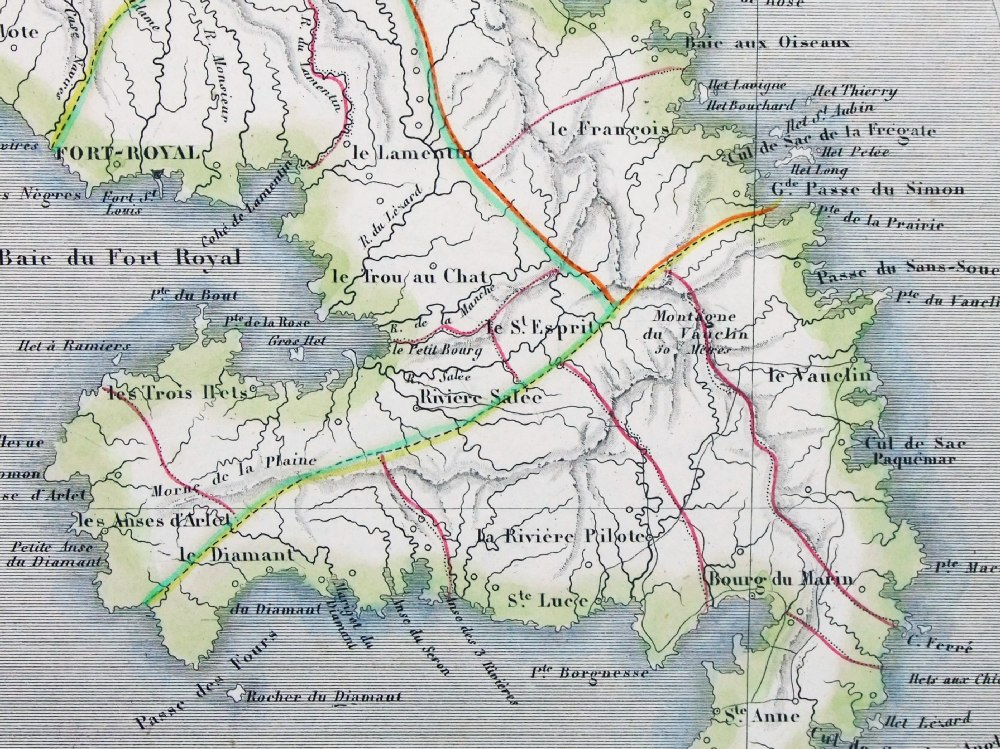
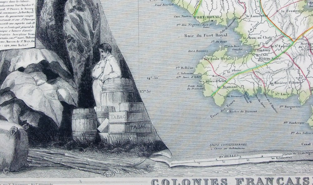
Colonies Francaises
- Martinique Victor Levasseur 1856 Detail 1 Detail 2 Detail 3 Steel engraving size 460 x 320 mm Ref PEM005 £50.00 (+P&P) click image for enlargement |
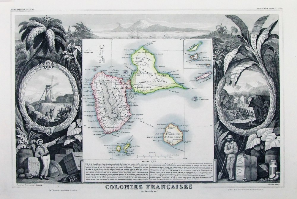 |
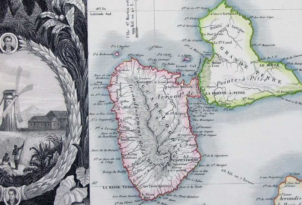
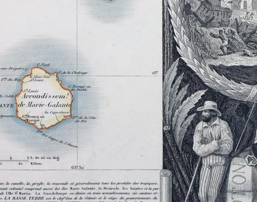
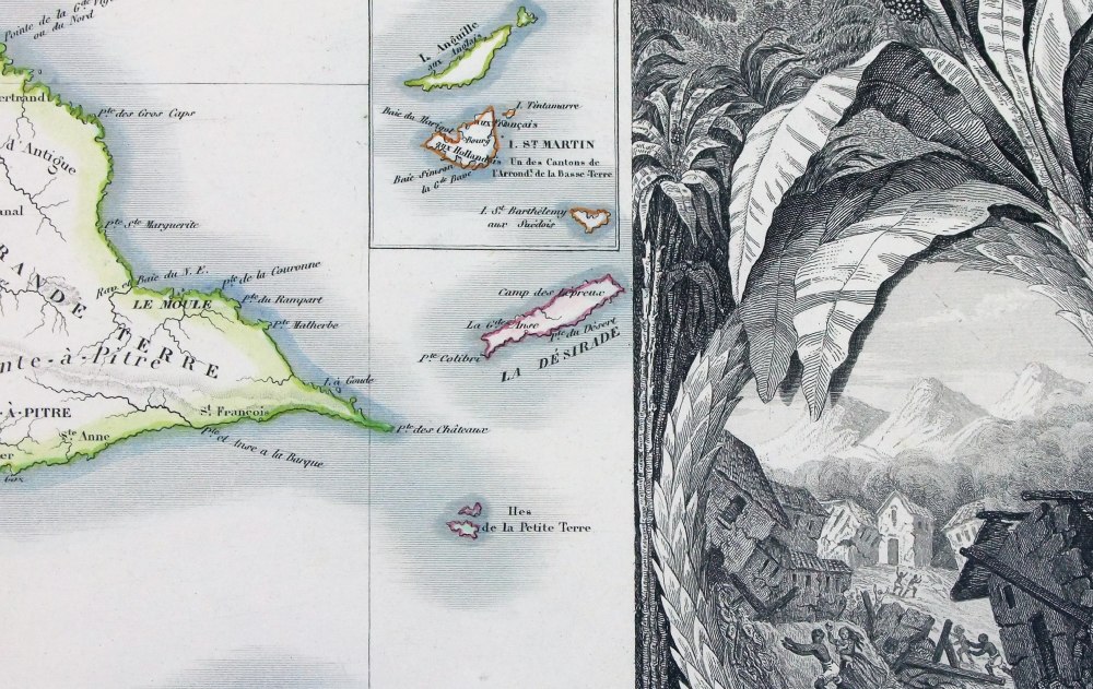
Colonies Francaises -
Guadeloupe Victor Levasseur 1856 Detail 1 Detail 2 Detail 3 Steel engraving size 460 x 320 mm Ref PEM004 £50.00 (+P&P) click image for enlargement |
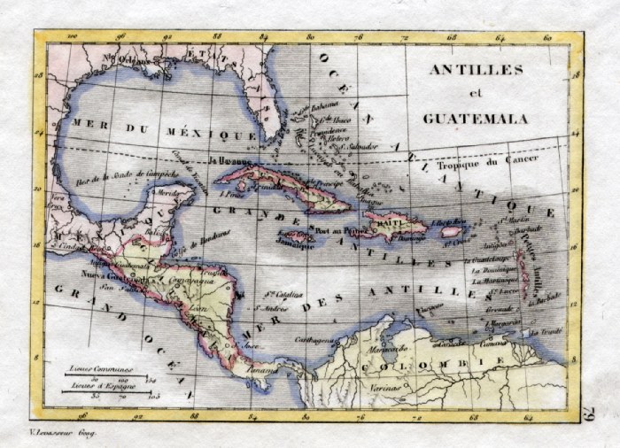 |
West Indies V. Levasseur
c1835 size: 130 x 100 mm Ref HAM111 £25.00 (+P&P) click image for enlargement |
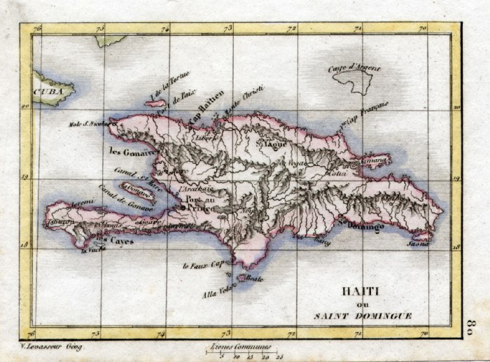 |
Haiti V. Levasseur
c1835 size: 130 x 100 mm Ref HAM112 £28.00 (+P&P) click image for enlargement |
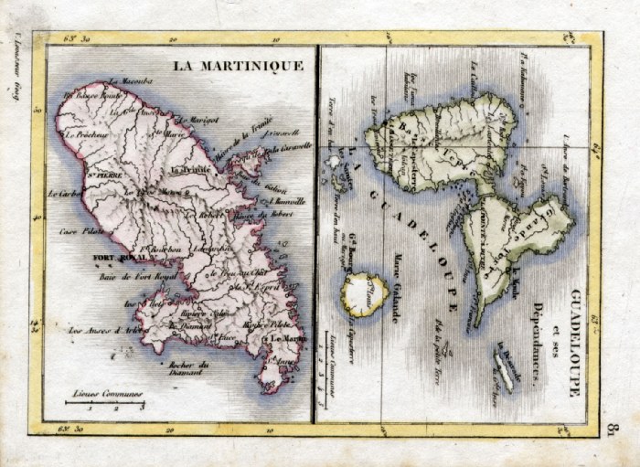 |
Martinique and Guadeloupe V.
Levasseur c1835 size: 130 x 100 mm Ref HAM113 £28.00 (+P&P) click image for enlargement |
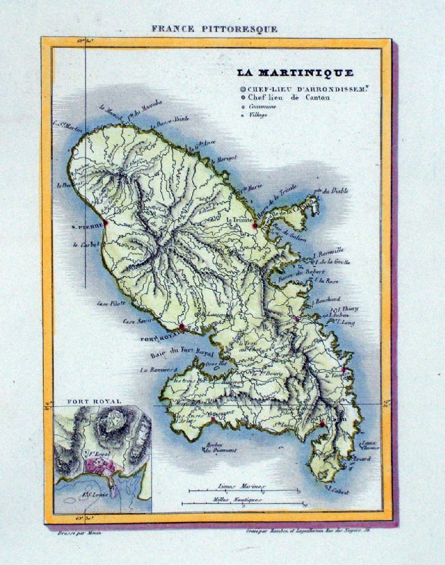
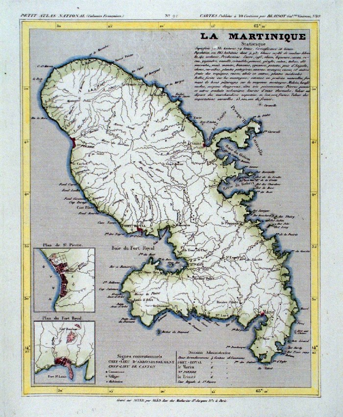 |
La Martinique
Monin 1833 size: 250 x 210 mm Ref IAM094 £28.00 (+P&P) click image for enlargement |
 |
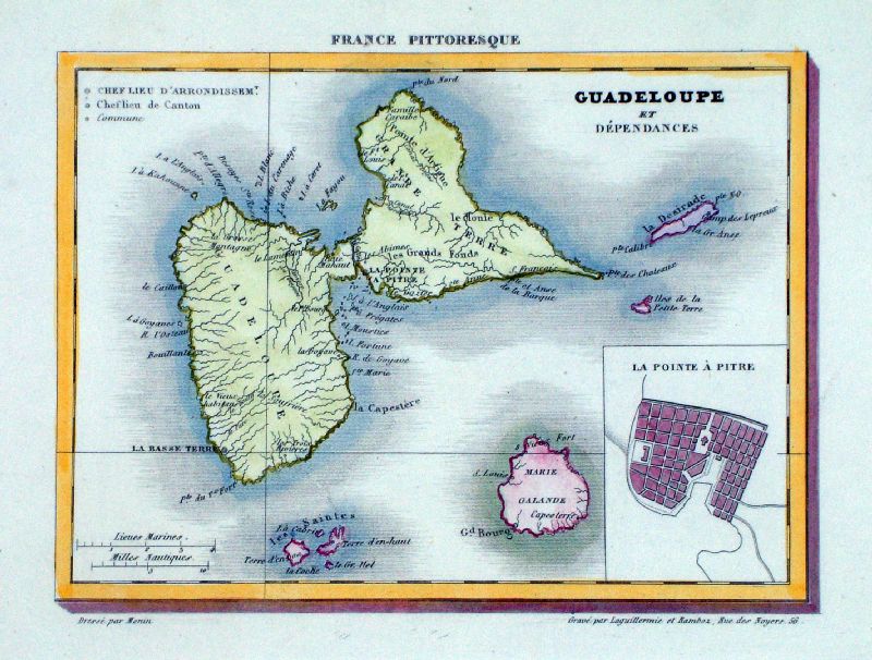
La Guadeloupe
Monin for France Pittoresque 1833 size: 250 x 210 mm Ref LLM044 £28.00 (+P&P) click image for enlargement |
 |
La Guadeloupe
Monin for France Pittoresque 1833 size: 190 x 150 mm Ref LLM045 £28.00 (+P&P) click image for enlargement |
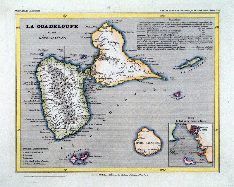 |
La Guadeloupe
Monin 1833 size: 250 x 210 mm Ref IAM095 £28.00 (+P&P) click image for enlargement |
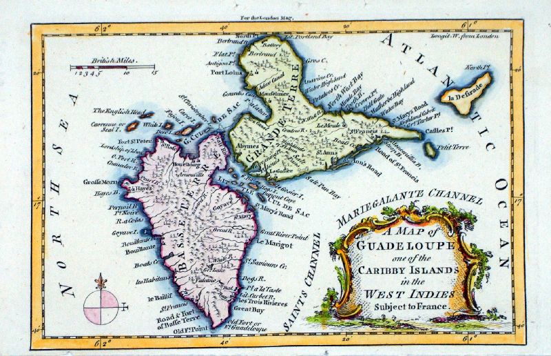 |
A Map of Guadeloupe,
one of the Caribby Islands in the West Indies Thomas Kitchin / London Magazine 1759 Copper engraving. size: 195 x 125 mm, tight lower margin Ref LLM031 £75.00 (+P&P) click image for enlargement |
 |
A Map of the West
India Islands and Countries Adjacent ... for Revd Dr Robertson's History of America Sidney Hall c1820 size: 280 x 220 mm Ref QGM003 £20.00 (+P&P) click image for enlargement |
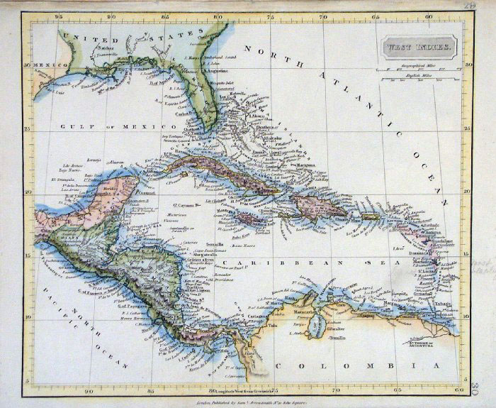 |
West Indies Samuel
Arrowsmith 1836 size:
250 x 210 mm Ref FHM102 £24.00 (+P&P) click image for enlargement |
|
West Indies Sidney Hall 1845 size: 200 x 250mm Ref GBM194 £26.00 (+P&P) Slight discolouration click image for enlargement |
|
Central america and West Indies
Virtue c1861 size: 310 x 240mm Ref HKM023 £24.00 (+P&P) click image for enlargement |
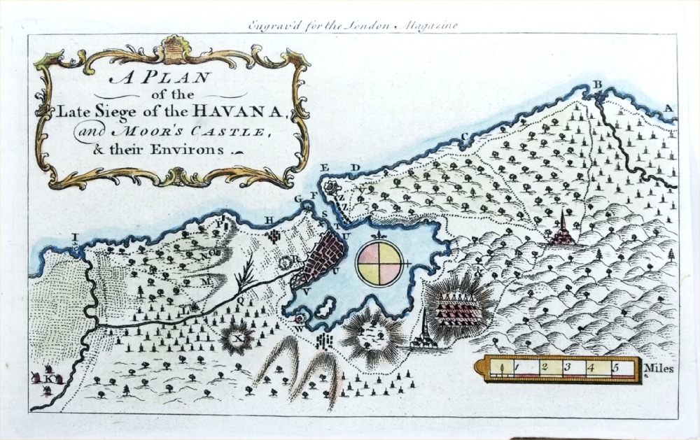 |
A Plan of the Seige
of the Havana and Moor's Castle, & their Environs
London Magazine 1763 Plan of Havana and harbour, Cuba during the Seven Years War (1756 - 1763) Copper engraving size: 200 x 120 mm Ref PGM010 75.00 (+P&P) click image for enlargement |
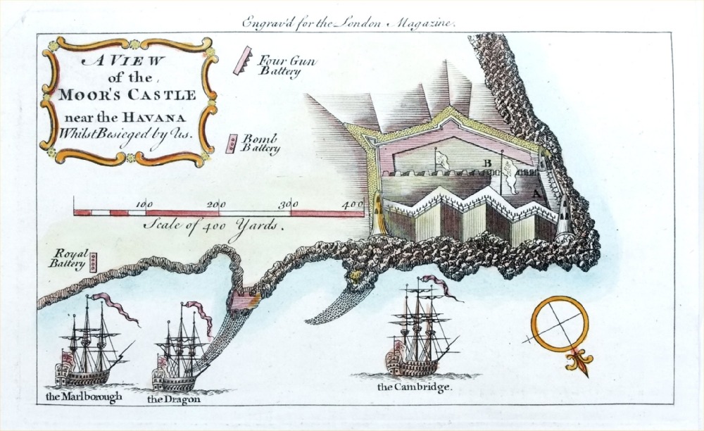 |
A View of the
Moor's Castle near the Havana Whilst besieged by us.
London Magazine 1763 Cuba during the Seven Years War (1756 - 1763) Copper engraving size: 200 x 120 mm Ref PGM011 65.00 (+P&P) click image for enlargement |
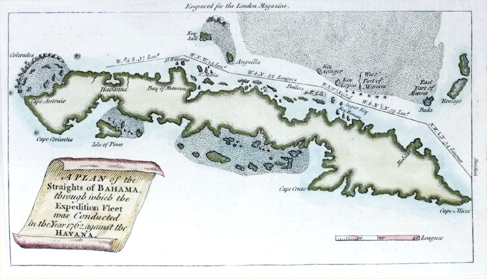 |
Plan of the Straights
of Bahama through which the Expedition Fleet was
conducted in the year 1762 against the Havana
London Magazine 1763 Cuba, with the route of the British Fleet in 1763 on its way to Havana Copper engraving size: 200 x 120 mm, tight left margin Ref PGM001 65.00 (+P&P) click image for enlargement |
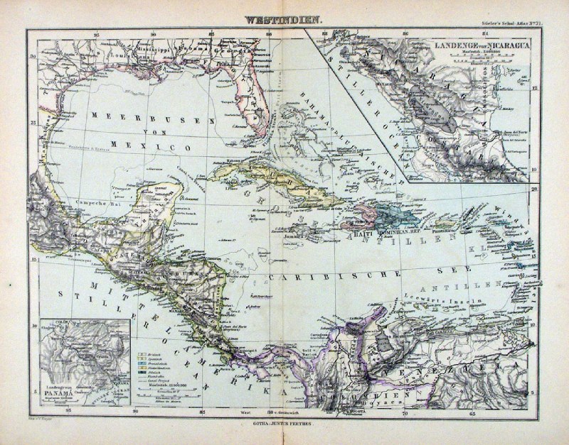 |
Westindien Steiler /
Perthes 1895 size: 300 x 240 mm, centre fold. insets of Panama and Nicaragua Ref HHM094 £18.00 (+P&P) click image for enlargement |
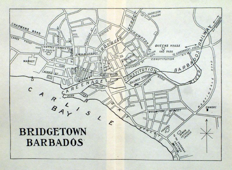 |
Bridgetown Barbados Origin unknown c1890 size: 190 x 140mm centre fold Ref IIM032 £15.00 (+P&P) click image for enlargement |
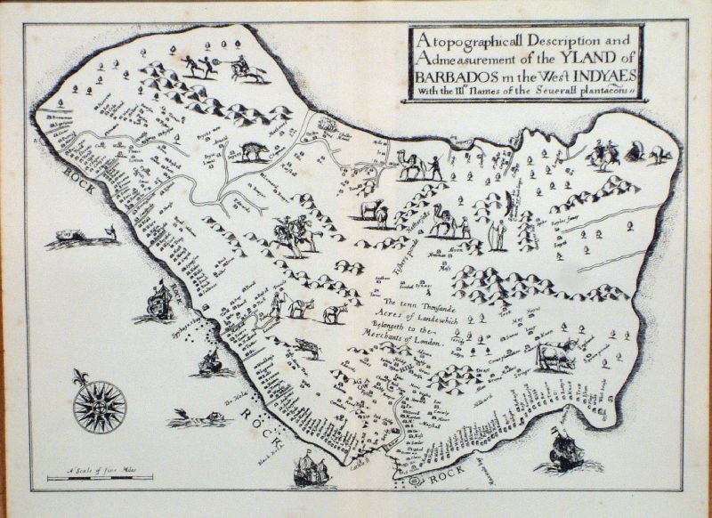 |
Barbados ( copy of 1657 map - H.
Moseley) Origin unknown c1890 size: 190 x 140mm centre fold Ref IIM029 £15.00 (+P&P) click image for enlargement |
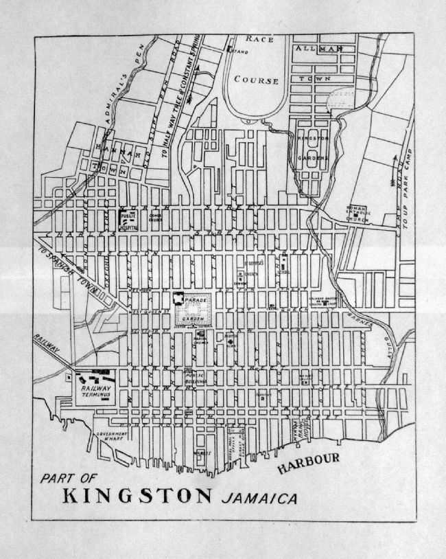 |
Kingston, Jamaica Origin unknown c1890 size: 190 x 140mm centre fold Ref IIM031 £15.00 (+P&P) click image for enlargement |
| All Genuine Antiquarian Maps - No Reproductions or Modern Copies |
2023