Old
Maps 1820 - 1959
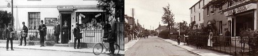
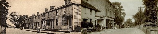
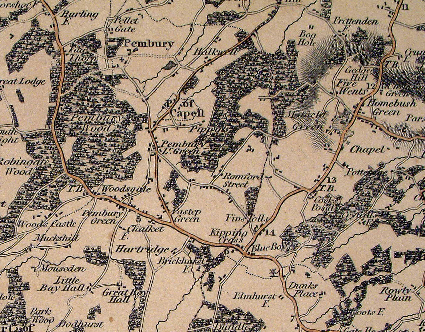
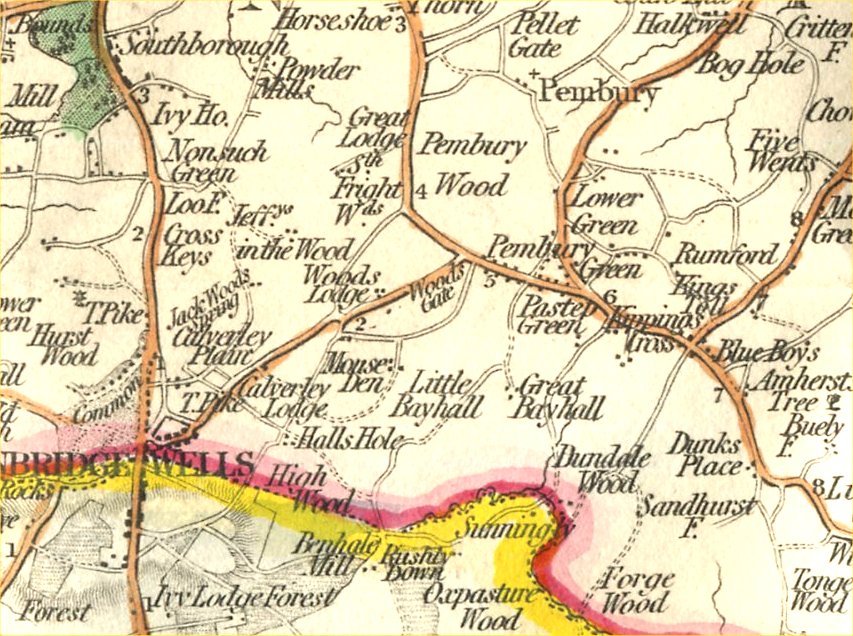
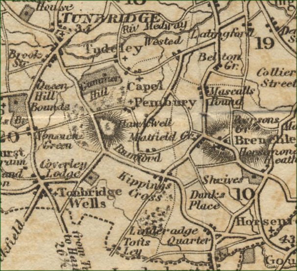
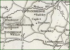
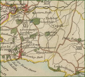
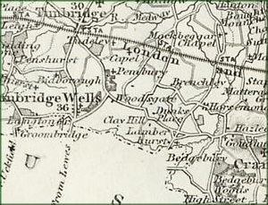
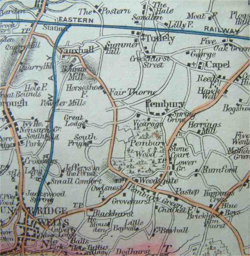
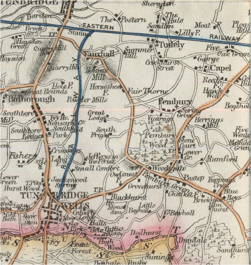
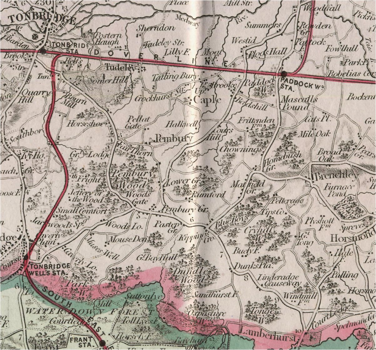
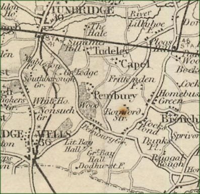
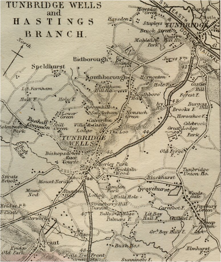
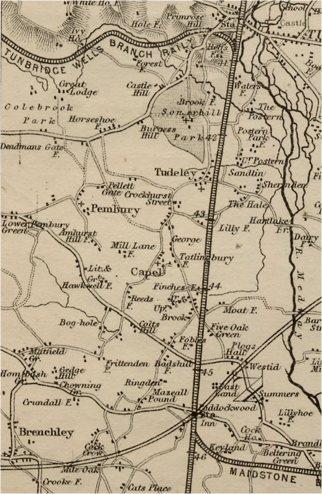
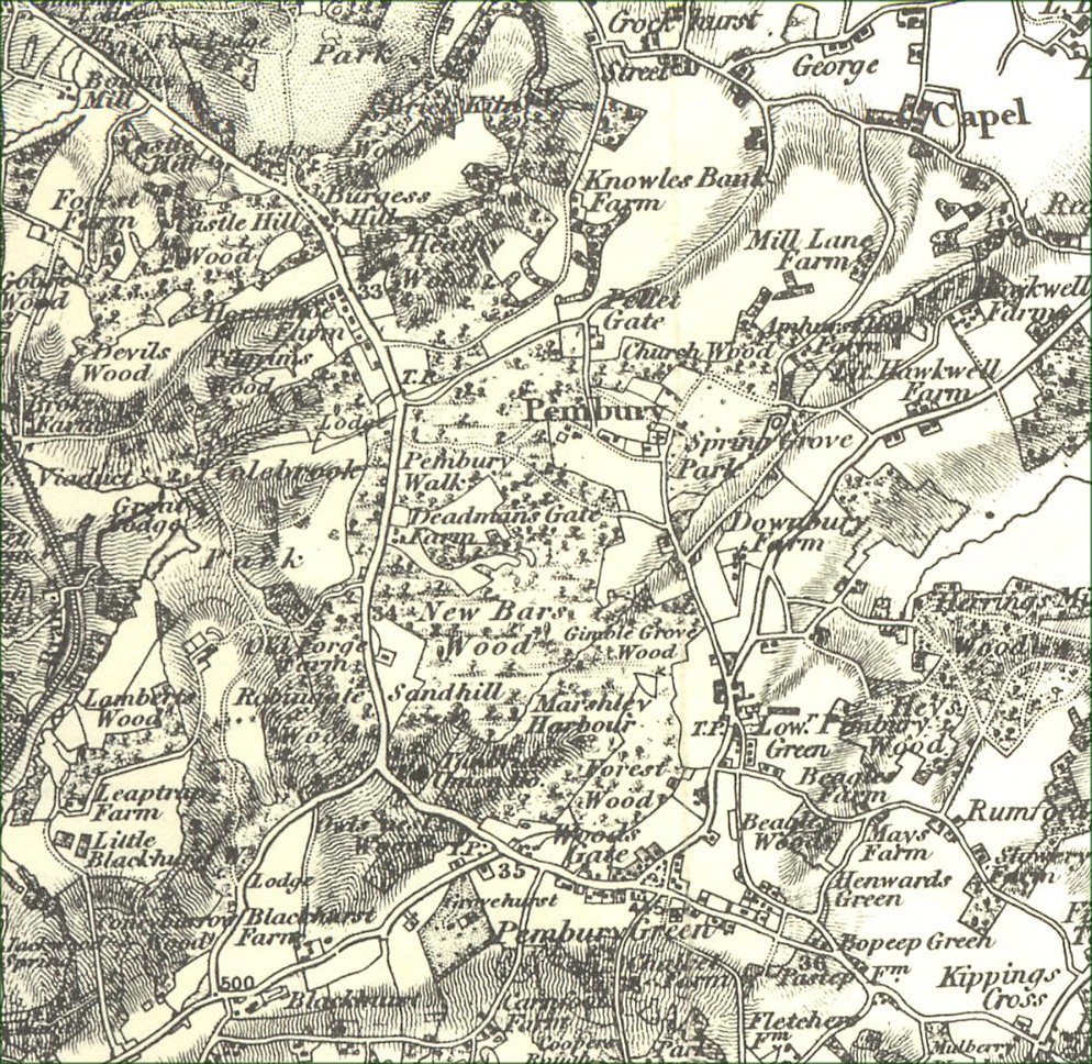
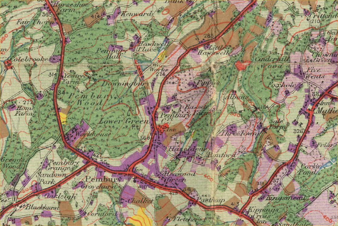
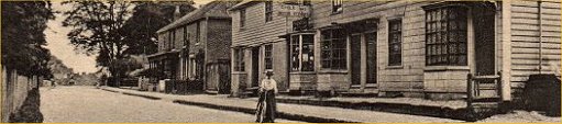
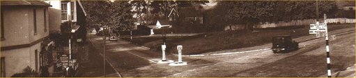
Old Maps of Pembury - 1820-1950The following files are maps scanned in by Tony Nicholls. Pembury Maps – General Maps – 1820 – 1950 These are sections of much larger maps, mostly of the county of Kent. Click image for enlarged detail.
Next – Road Maps featuring Pembury
This page was originally prepared for the general Pembury web site long before the history web site was created. During its creation and ongoing development the history web site has accumulated many detailed maps of the village, with many specially modified to reflect specific features being described or highlighted. The ‘Localities’ section is rich in detailed maps of specific parts of Pembury. The ‘Shops & Retail’ section has custom made maps to feature all the old shops and pubs. The ‘Buildings & Landmarks’ similarly has maps crafted to the topics being featured. Tony Nicholls 2019
Here is a link to an external, semi-interactive, page demonstrating the migration of Pembury across the countryside – Link Old Maps 1850 - 1920
IMPORTANT !!! This needs your help. All contributions will be credited. If you have any further information or corrections please contact me – Tony Nicholls email: pemburyhistory@gmail.com |