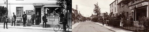
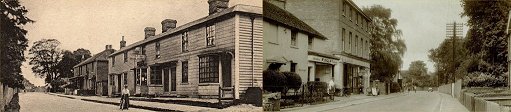
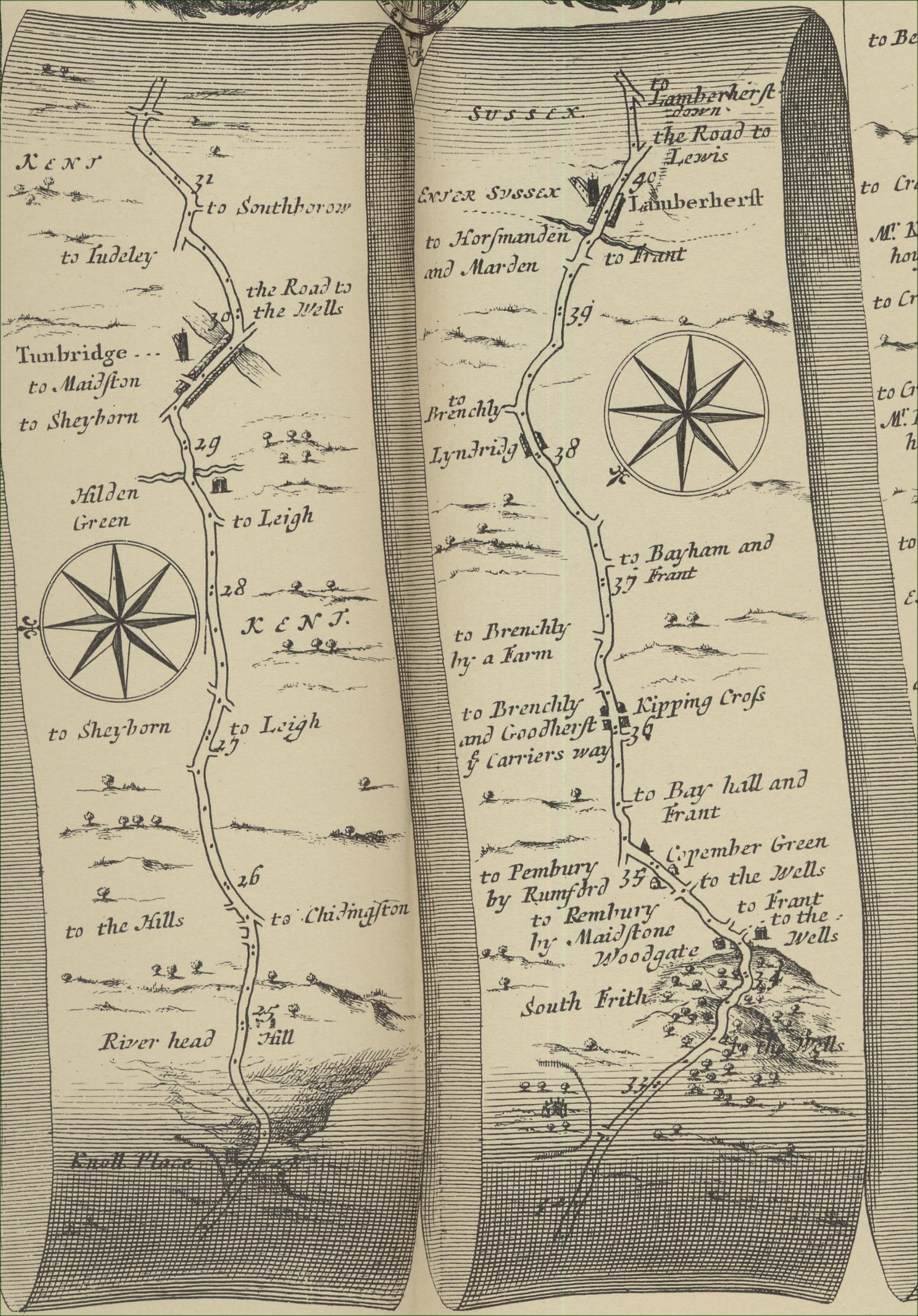
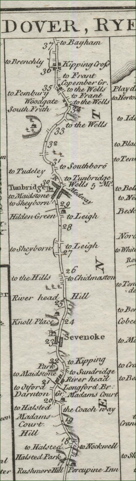
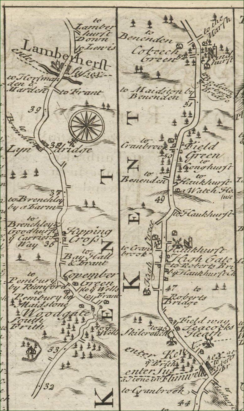
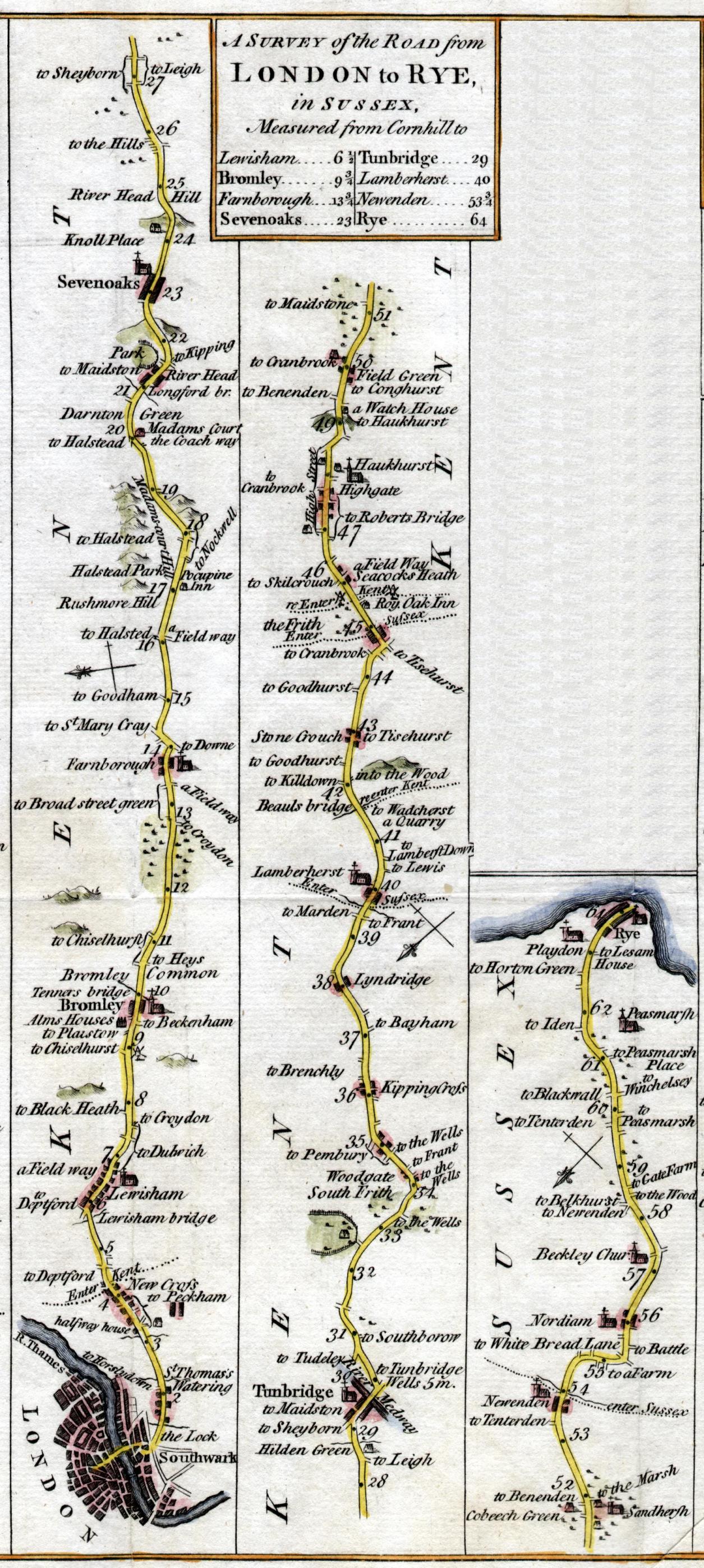
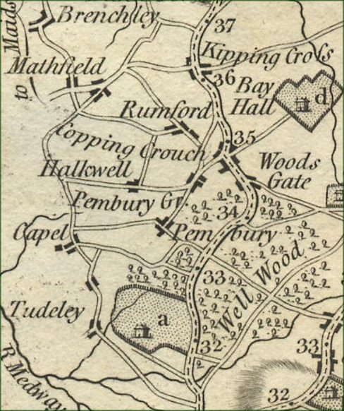
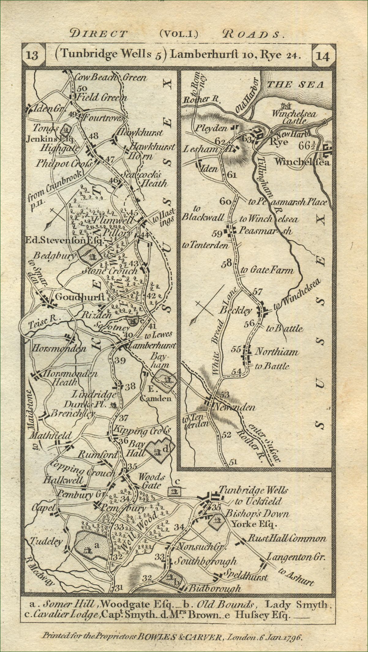
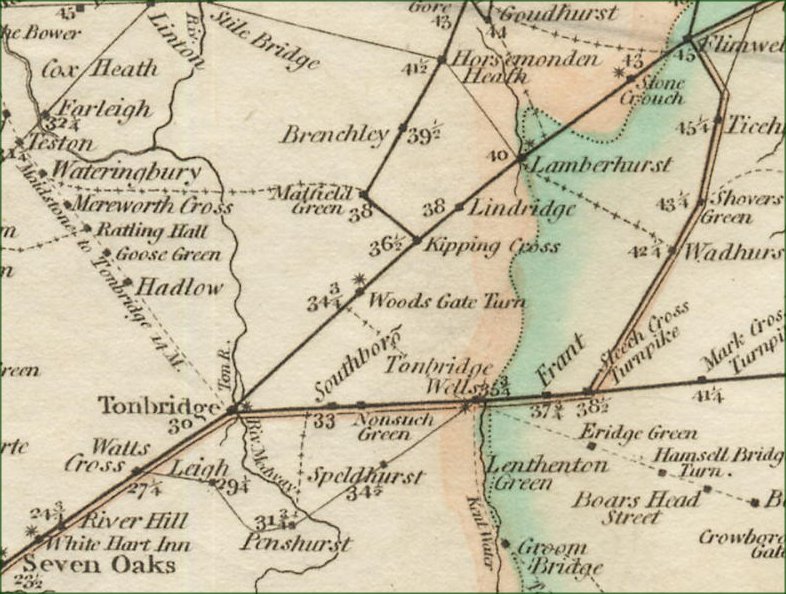
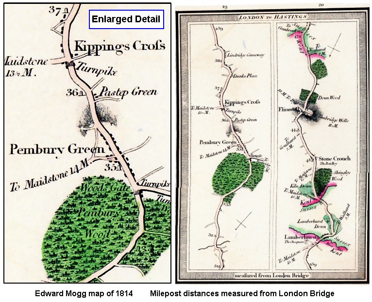
Old Road Maps Old Maps of Pembury - Road MapsThe following files are maps scanned in by Tony Nicholls. Pembury Maps – Road Maps Tonbridge and Pembury appear on the London to Rye road on all old maps. Hastings was not a noted destination, so there are no references to ‘London to Hastings’ as a route. Note that most of these maps have references to milestones, and the distances are deemed to be from London Bridge. The accuracy of the ‘mile’ is unknown, and should be treated with suspicion
The data above was originally prepared for the main Pembury web site c2003 Links to pages with more road maps – Localities section – Tonbridge Road Localities section – Milestone Locations Milestone Maps Localities section – A21 A General History Localities section – The Old Coach Road External, semi-interactive, page demonstrating the Migration of Pembury across the countryside Old Road Maps
IMPORTANT !!! This needs your help. All contributions will be credited. If you have any further information or corrections please contact me – Tony Nicholls email: pemburyhistory@gmail.com |