Past Pages
Antique Maps, Prints and Ephemera
Antique Maps of UK English Counties
Counties arranged alphabetically Some local or regional maps will appear within the county section.
For local interest also see Town Plans and Road Maps sections - Click here for more Info.
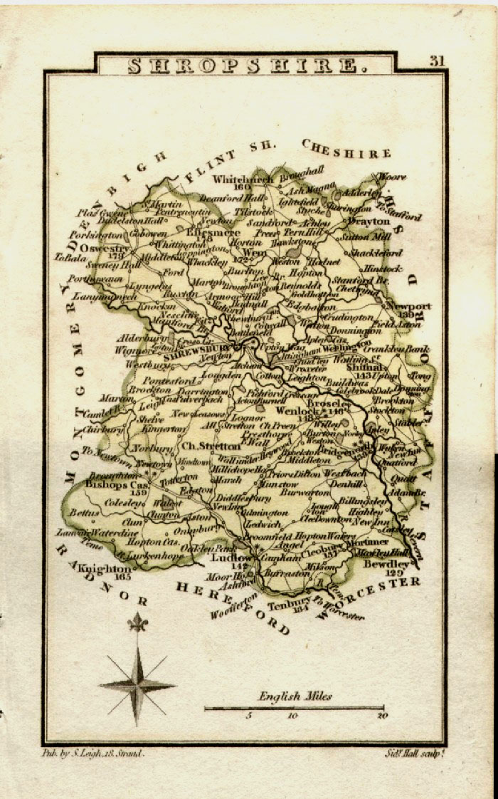
Shropshire |
English Counties - Shropshire to Yorkshire
|
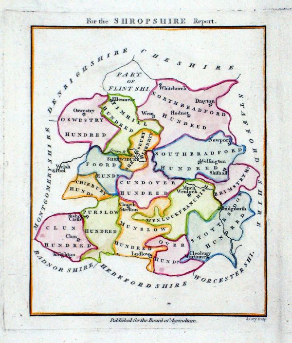 |
For the Shropshire
Report Published for the Board of
Agriculture J. Cary 1803 Copper engraving Size: 120 x 145 mm From General View of the Agriculture of Shropshire by Joseph Plymley, Printed by B. McMillan, Bow St for G & W Nicol, Pall Mall 1803 Ref LLM015 £28.00 (+P&P) click image for enlargement |
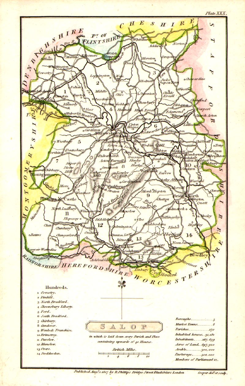 |
Shropshire (Salop)
Cooper 1807 Size: 120 x 190 mm Rare edition dated August 1, 1807, prior to the popular Capper edition of 1808 'Published Aug 1 1807 by R. Phillips, Bridge Street, Blackfriars, London' Ref IFM031 £22.00 (+P&P) click image for enlargement |
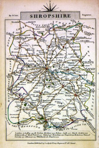 |
Shropshire
Cary 1789 size: 155 x 105 mm, tight right (east) margin Ref MLM010 £16.00 (+P&P) click image for enlargement |
 |
Shropshire
Pinnock 1833 size: 250 x 175 mm Ref MKM008 £18.00 (+P&P) click image for enlargement |
 |
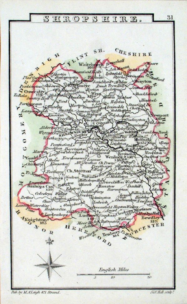
Shropshire Leigh 1837
size: 80 x 130 mm Antique Map Ref GGM031 £14.00 (+P&P) Antique Map Ref FDM010 £14.00 (+P&P) Antique Map Ref JKM046 £14.00 (+P&P) click image for enlargement |
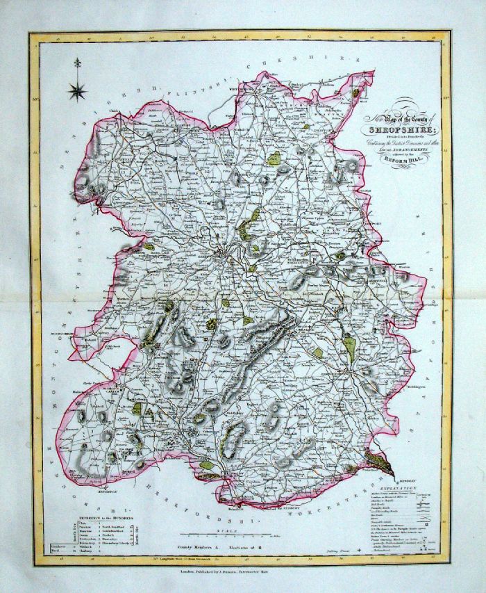 |
Shropshire
J. Duncan 1833 "Map of the County of Shropshire Divided into Hundreds Containing the District Divisions and other local arrangements effected by the Reform Bill" size: 370 x 460 mm, centre fold. Detail a few faint creases Ref LEM052 £25.00 (+P&P) click image for enlargement- apologies for optical distortion caused during photography. |
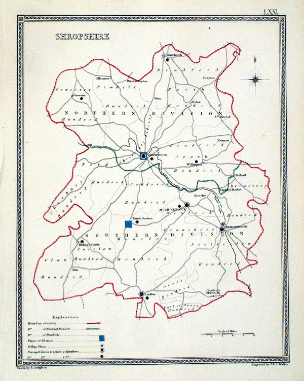 |
Shropshire
Depicting electoral divisions and polling places. Samuel Lewis 1835 engraved by J & C Walker Steel engraving Size: 200 x 250 mm, Original colouring of boundaries. Antique Map Ref KJM071 £16.00 (+P&P) click image for enlargement |
 |
Shropshire
Samuel Lewis 1842 engraved by J & C Walker Steel engraving Size: 200 x 250 mm Antique Map Ref NAM032 £16.00 (+P&P) Typical detail expected from this series of Lewis maps - D1, D2, D3 Details are not specifically from the map shown here. click image for enlargement |
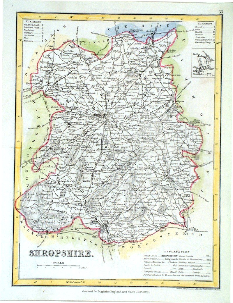 |
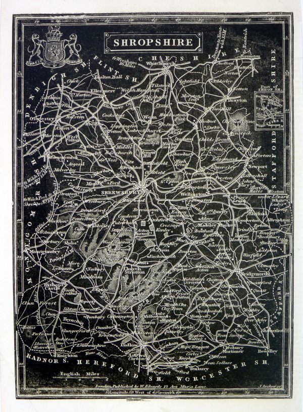
Shropshire
Archer
c1840 size:250 x 180 mm Antique Map Ref GIM012 £12.00 (+P&P) click image for enlargement |
|
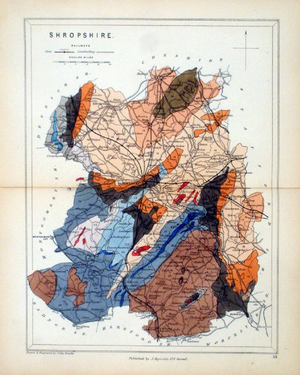
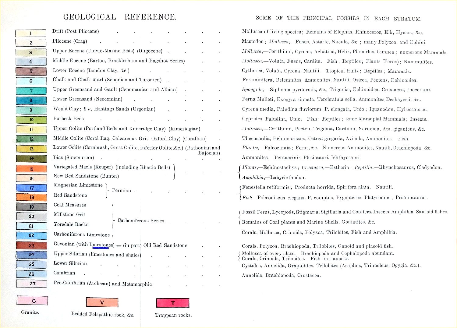
Shropshire Geological map Reynolds / Emslie c1860 First Edition size: 200 x 250mm, centre fold, very slight discolouration at fold. Original hand colouring of geological structure - Colour Reference Key - click here Antique Map Ref KLM025 £22.00 (+P&P) click image for enlargement |
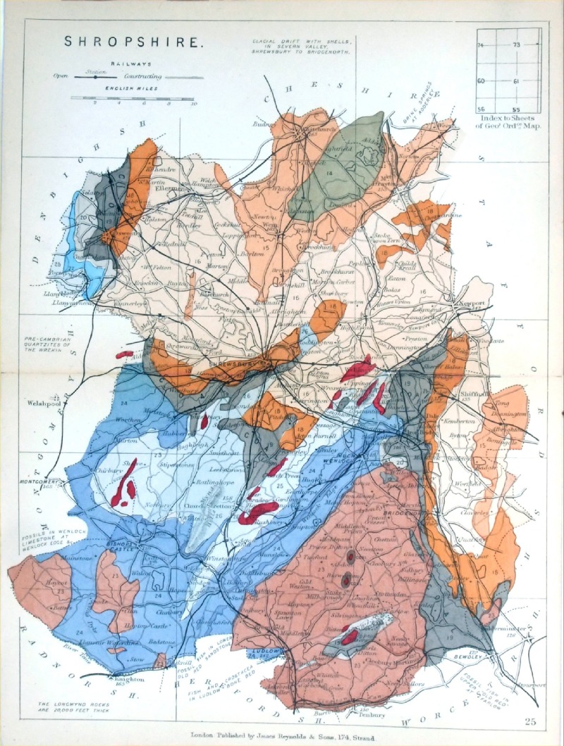 |
Shropshire
Geological map James Reynolds 1889 Second Edition (new map, additional data, side notes, different colouring) size: 185 x 250mm, centre fold, very slight discolouration at fold. Original hand colouring of geological structure - Colour Reference Key - click here Antique Map Ref RAM026 £22.00 (+P&P) click image for enlargement |
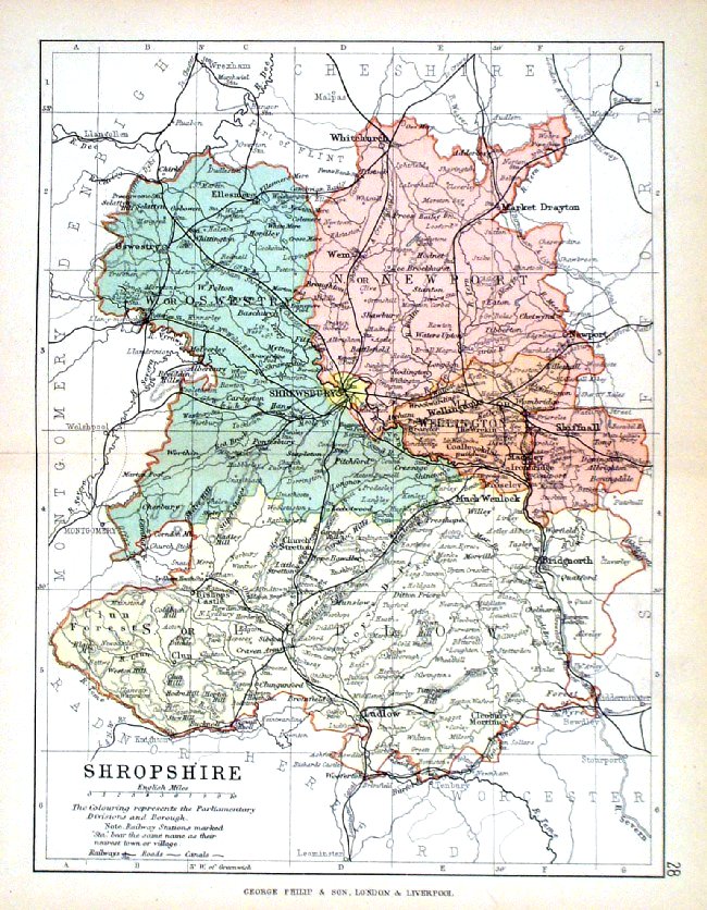 |
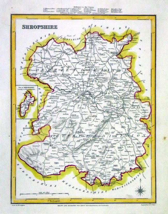
Shropshire George Philip
1898 Colouring represents the Parliamentary Divisions and Boroughs size: 220 x 180 mm, centre fold, original printed colour Antique Map Ref HHM033 £12.00 (+P&P) click image for enlargement |
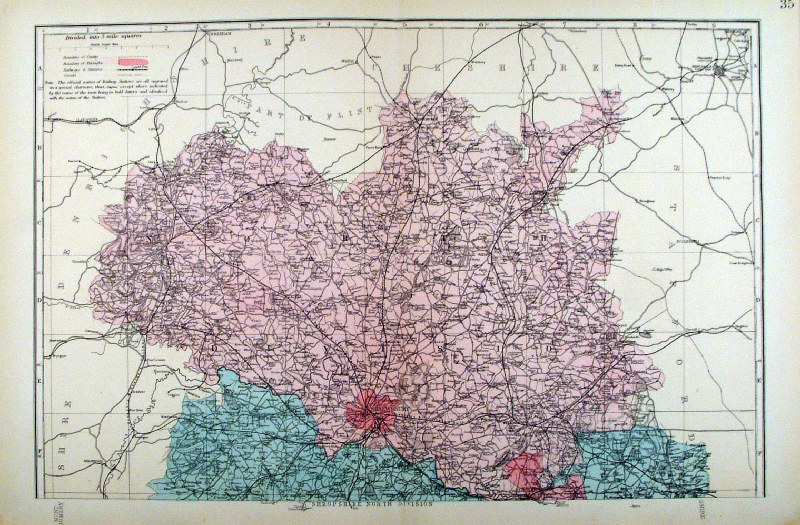 |
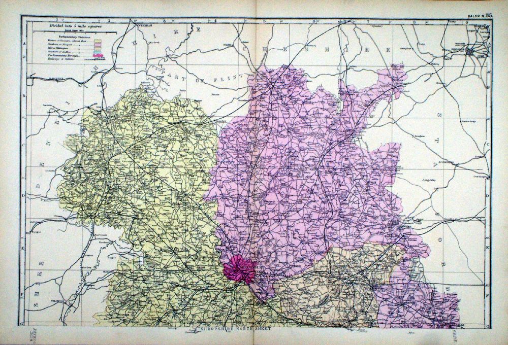
Shropshire (North Division)
Bacon c1883 size: 460 x 310 mm, double page, centre fold This series of Bacon maps contains great detail and is very popular with historians. Ref FLM121 £15.00 (+P&P) click image for enlargement |
 |
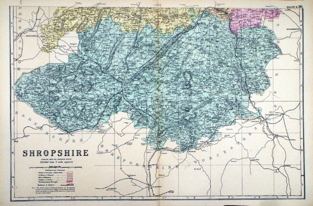
Shropshire (South Division)
Bacon c1883 size: 460 x 310 mm, double page, centre fold This series of Bacon maps contains great detail and is very popular with historians. Ref FLM122 £15.00 (+P&P) click image for enlargement |
  |
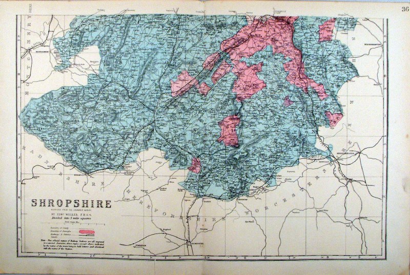
Shropshire
in 2 sheets From the New Large Scale Atlas of the British Isles by G.W. Bacon 1892 each sheet - size: 480 x 330 mm, centre fold Coloured to represent Parliamentary Divisions. Ref LHM120 (2 sheets - will not split) £25.00 (+P&P) Detail click image for enlargement |
Somerset |
Link to
Shropshire Prints Somersetshire |
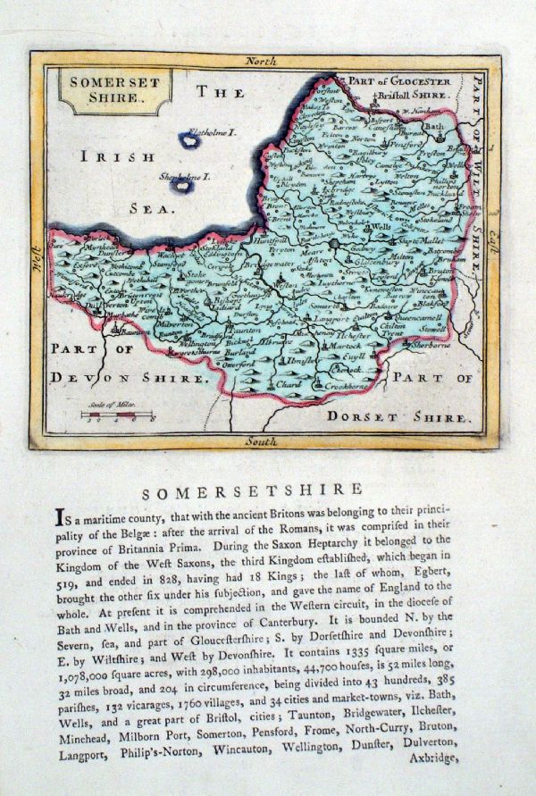 |
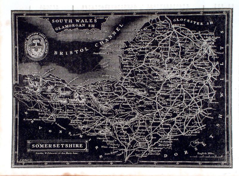
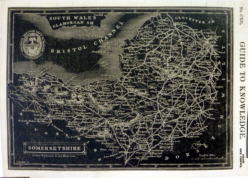
Somerset
Seller / Grose 1787 size: 160 x 135 mm (page: 170 x 250 mm) Antique Map Ref KCM011 £25.00 (+P&P) click image for enlargement |
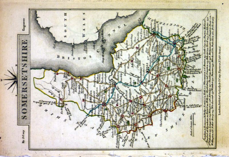 |
Somersetshire
Cary 1789 size: 155 x 105 mm, tight bottom (south) margin Ref MLM018 £25.00 (+P&P) click image for enlargement |
 |
Somersetshire Cary 1819
Original hand colour size:150 x 100 mm Antique Map Ref GJM024 £24.00 (+P&P) click image for enlargement |
 |
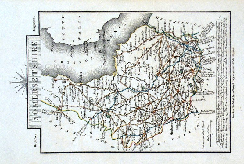
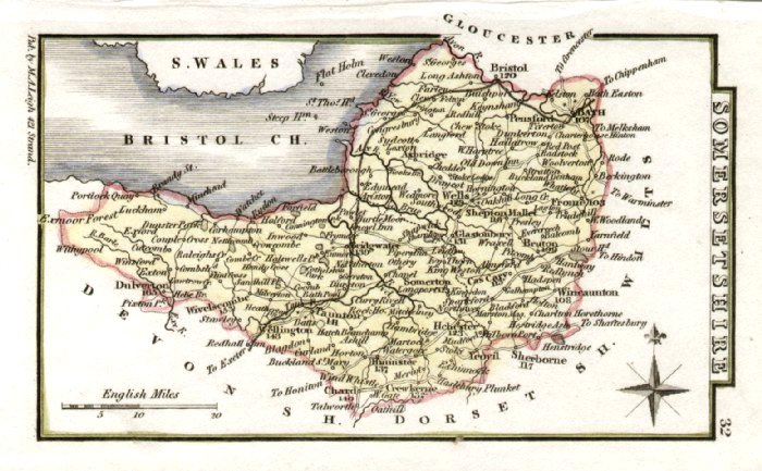
Somersetshire Cooper 1807
Rare edition dated August 1, 1807, prior to the popular Capper edition of 1808 'Published Aug 1 1807 by R. Phillips, Bridge Street, Blackfriars, London' Size: 190 x 120 mm Ref IFM032 £25.00 (+P&P) click image for enlargement |
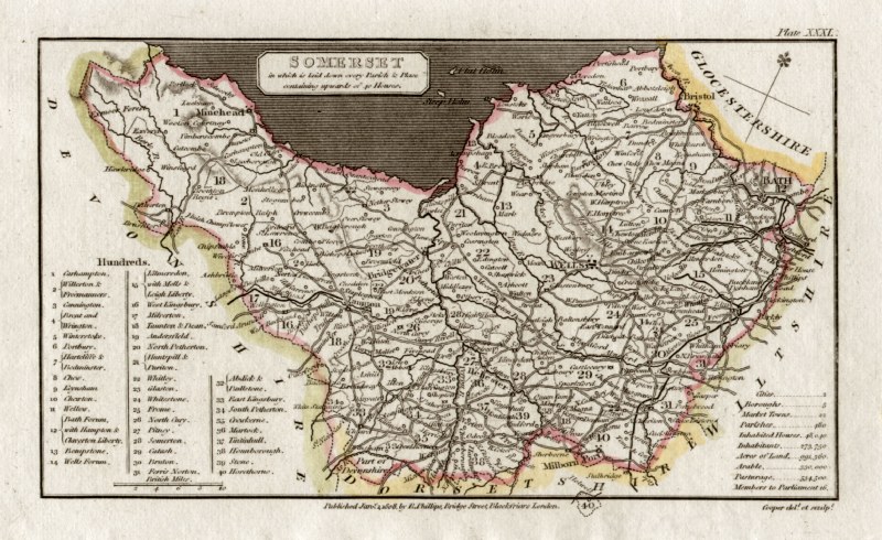 |
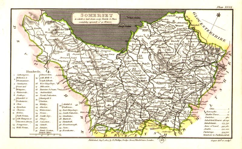
Somerset
Capper
1808 Engraved
by
Cooper for Benjamin Pitts Capper Size: 190 x 120 mm Antique Map Ref GDM215 £22.00 (+P&P) click image for enlargement |
 |
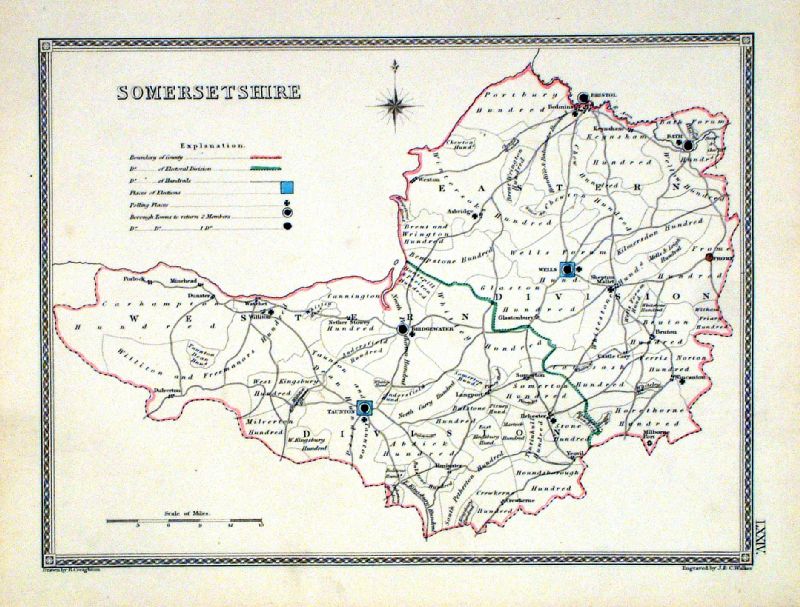
Somersetshire Lewis
c1842
size: 250 x 310 mm , 1 fold Ref GHM113 £16.00 (+P&P), a few faint foxing spots, Original hand colour Ref NAM033 £16.00 (+P&P) Typical detail expected from this series of Lewis maps - D1, D2, D3 Details are not specifically from the map shown here. click image for enlargement |
 |
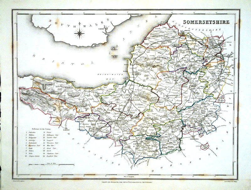
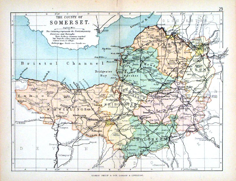
Somersetshire
Depicting electoral divisions and polling places.
Samuel Lewis 1835 engraved by J & C Walker Steel engraving Size: 250 x 200 mm, Original colouring of boundaries. Antique Map Ref KJM074 £16.00 (+P&P) click image for enlargement |
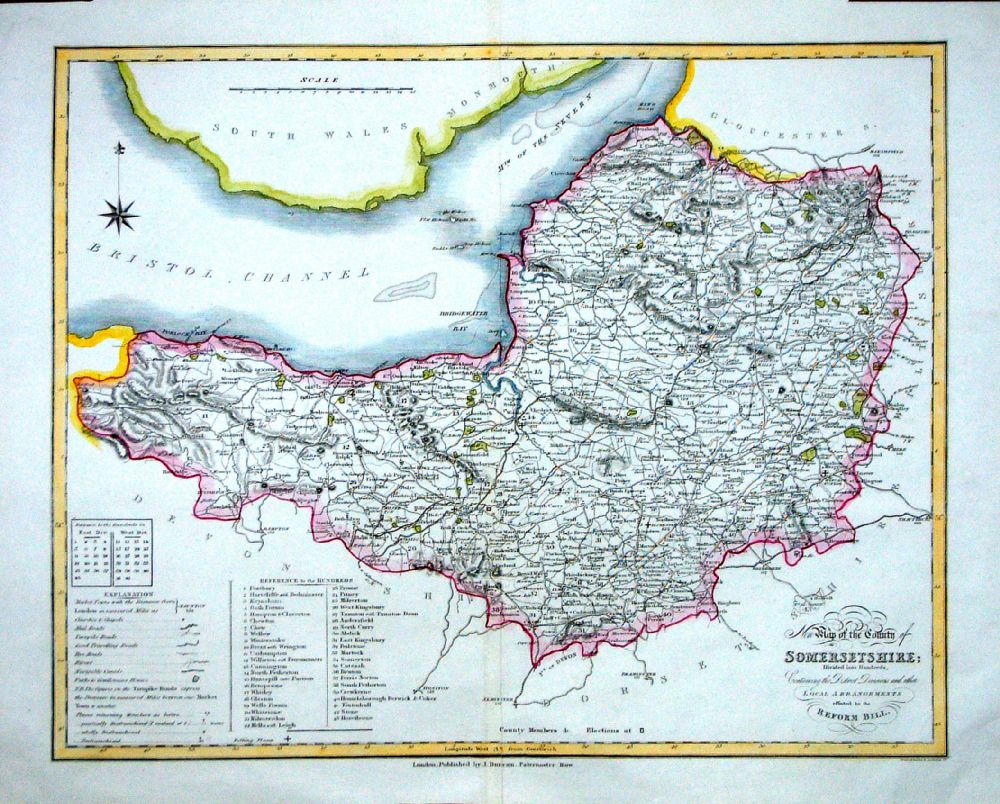 |
Somersetshire
J. Duncan 1833 "Map of the County of Somersetshire Divided into Hundreds Containing the District Divisions and other local arrangements effected by the Reform Bill" size: 460 x 370 mm, centre fold. Detail a few faint creases Ref LEM032 £32.00 (+P&P) click image for enlargement- apologies for optical distortion caused during photography. |
 |
Somersetshire
Pinnock
1833 size: 250 x 180 mm, Ref JDM027 £18.00 (+P&P) very slight overall discolouration. Ref MKM011 £18.00 (+P&P) click image for enlargement |
 |
Somerset Leigh
1837
size: 80 x 130 mm Antique Map Ref GGM032 £18.00 (+P&P) click image for enlargement |
 |
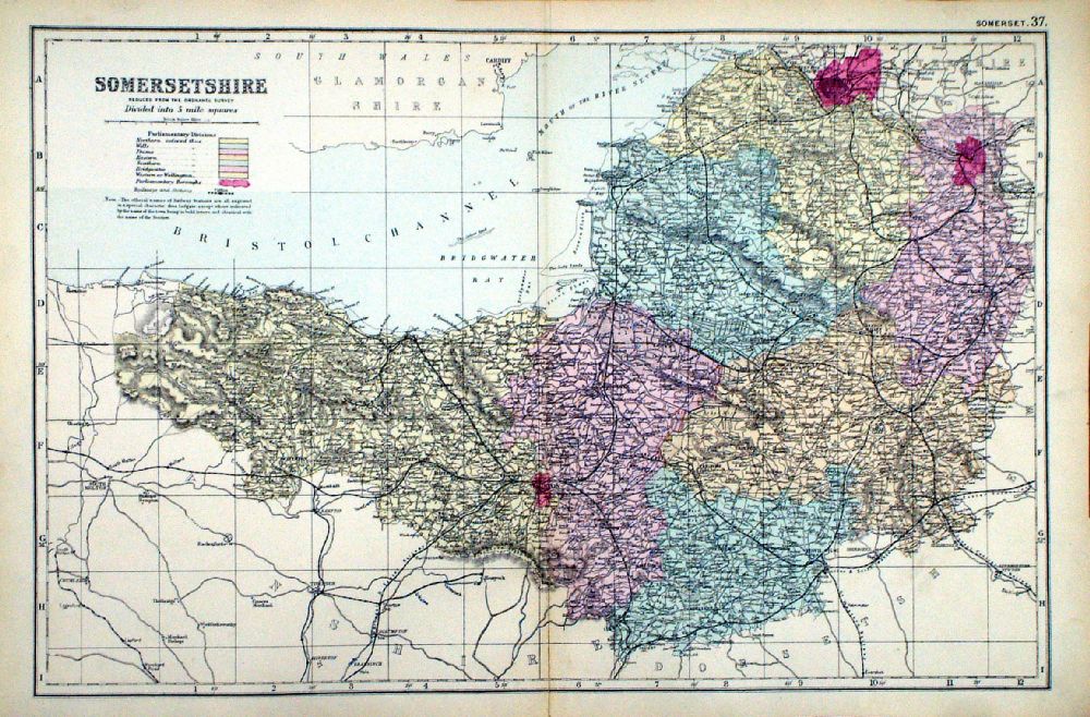
Somersetshire
Weller / Bacon c1883 size: 460 x 310 mm, double page, centre fold Coloured to represent Parliamentary Divisions. Antique Map Ref FLM123 £15.00 (+P&P) click image for enlargement |
 |
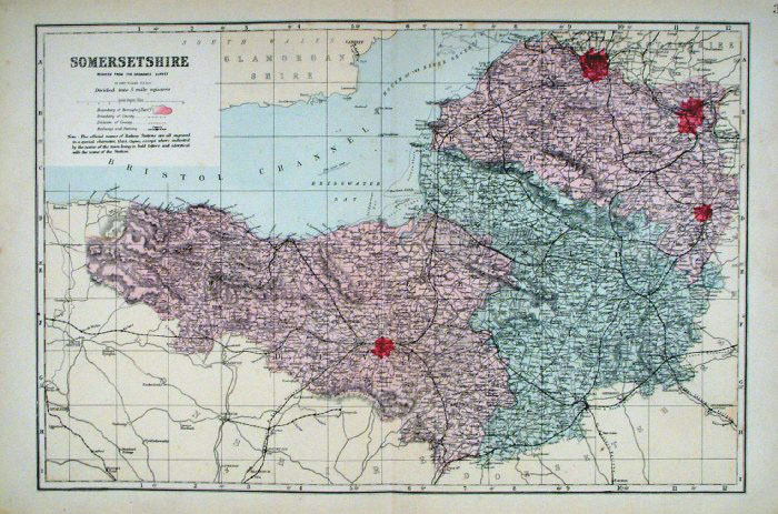
Somersetshire From the New Large Scale Atlas of the British Isles by G.W. Bacon 1892 size: 480 x 330 mm, centre fold Coloured to represent Parliamentary Divisions. Ref LHM119 £15.00 (+P&P) Detail click image for enlargement |
 |
Somerset George Philip
1898 Colouring represents the Parliamentary Divisions and Boroughs size: 220 x 180 mm, centre fold, original printed colour Antique Map Ref HHM034 £12.00 (+P&P) click image for enlargement |
Staffs |
Link
to Somersetshire Prints Staffordshire |
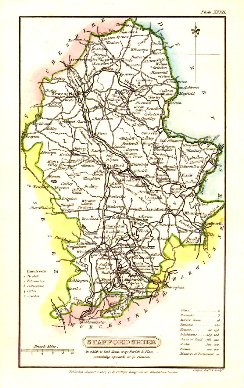 |
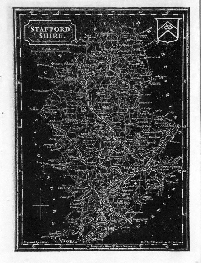
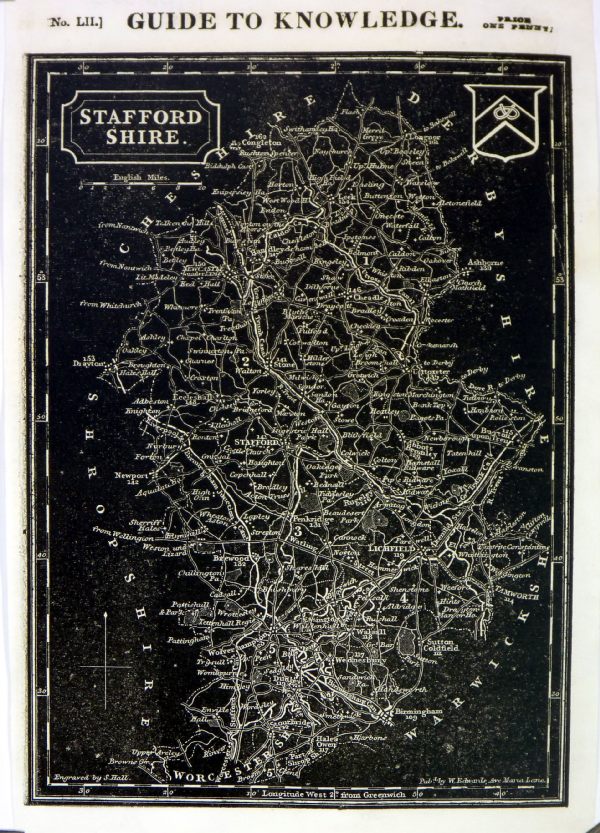
Staffordshire
Cooper 1807 Size: 120 x 190 mm Rare edition dated August 1, 1807, prior to the popular Capper edition of 1808 'Published Aug 1 1807 by R. Phillips, Bridge Street, Blackfriars, London' Ref IFM033 £24.00 (+P&P) click image for enlargement |
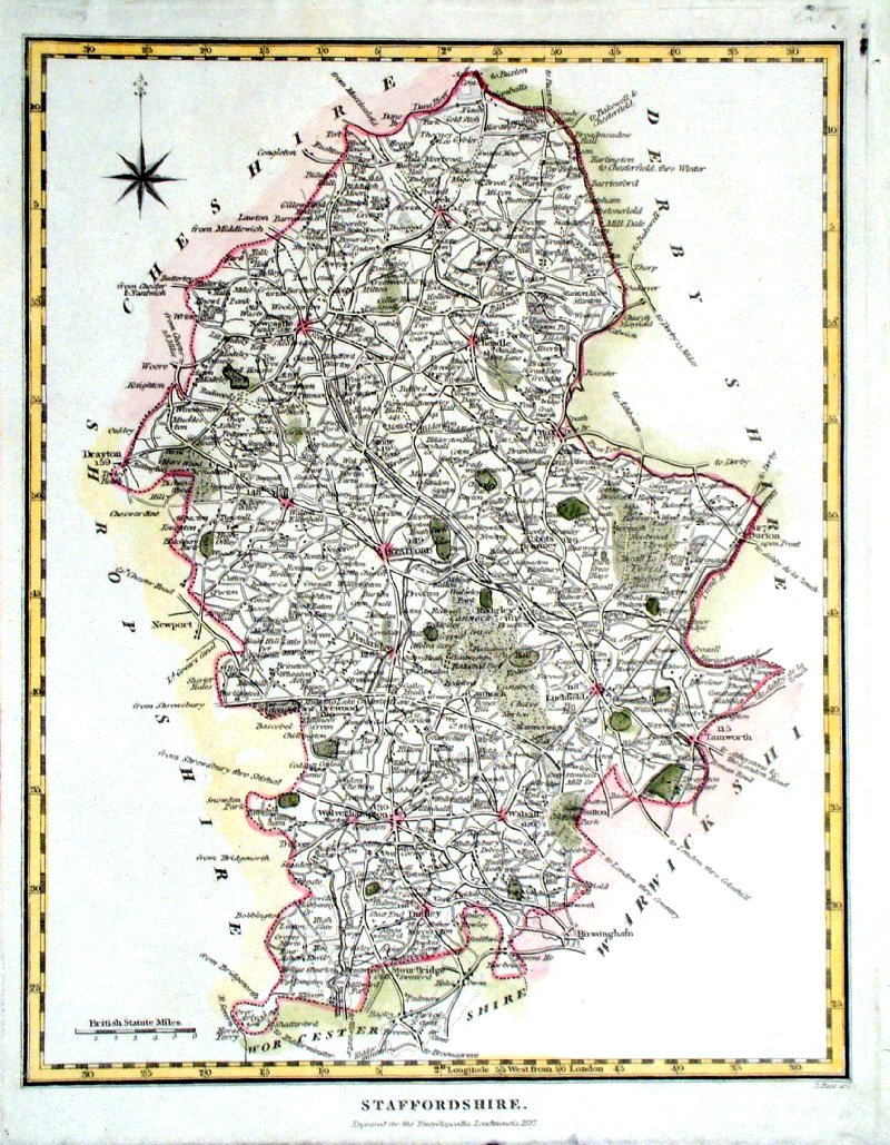 |
Staffordshire
Pass (Encyclopoedia Londinensis 1827) Size: 200 x 260 mm Antique Map Ref GKM026 £26.00 (+P&P) click image for enlargement |
|
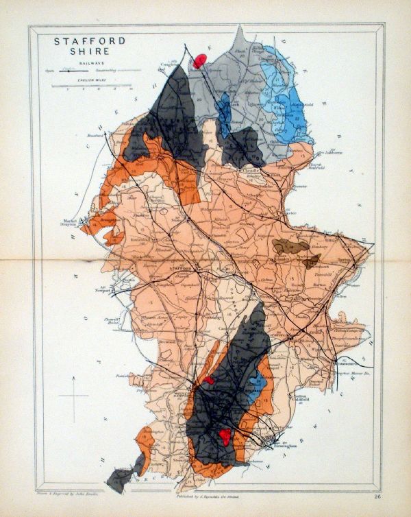
Staffordshire Geological
map Reynolds / Emslie c1860 First Edition size: 200 x 250mm, centre fold, very slight discolouration at fold. Original hand colouring of geological structure - Colour Reference Key - click here Antique Map Ref KLM026 £22.00 (+P&P) click image for enlargement |
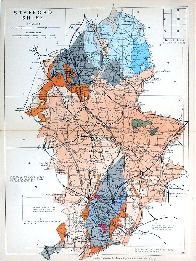 |
Staffordhire
Geological map James Reynolds 1889 Second Edition (new map, additional data, side notes, different colouring) size: 185 x 250mm, centre fold, very slight discolouration at fold. Original hand colouring of geological structure - Colour Reference Key - click here Antique Map Ref RAM027 £22.00 (+P&P) click image for enlargement |
 |
Staffordshire Lewis
c1842
size: 250 x 190 mm Ref GHM115 £16.00 (+P&P) a few faint foxing spots, Original hand colour Ref NAM035 £16.00 (+P&P) Typical detail expected from this series of Lewis maps - D1, D2, D3 Details are not specifically from the map shown here. click image for enlargement |
 |
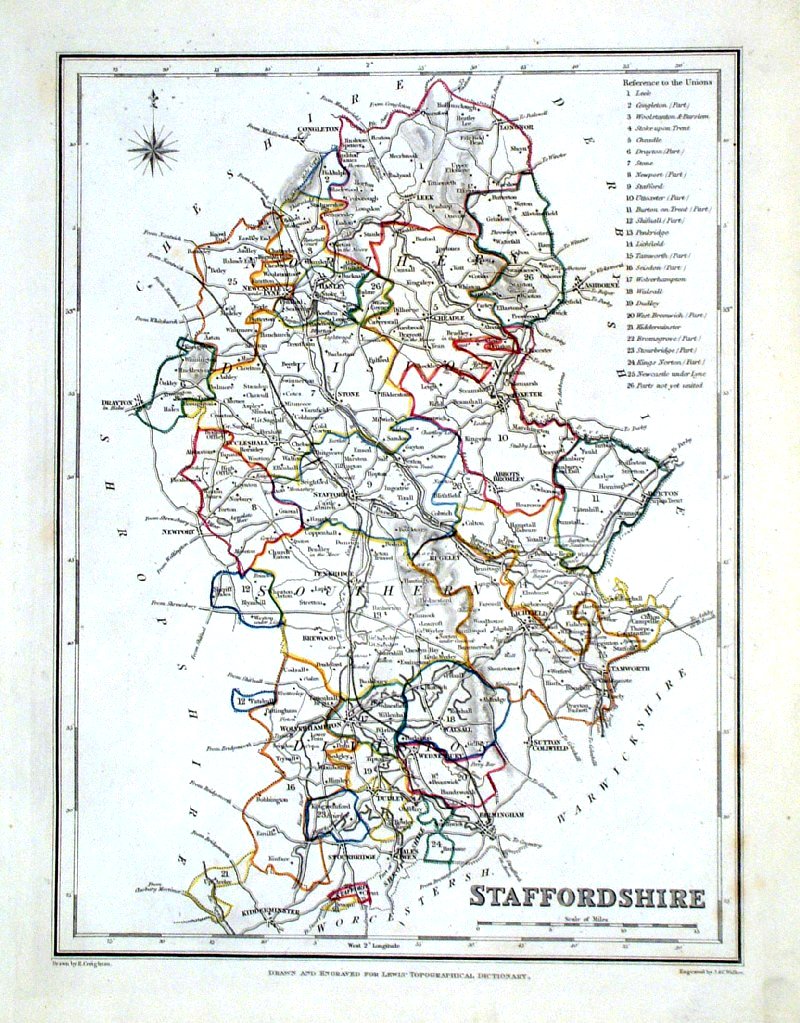
Staffordshire
Depicting electoral divisions and polling places. Samuel Lewis 1835 engraved by J & C Walker Steel engraving Size: 200 x 250 mm, Original colouring of boundaries. Antique Map Ref KJM081 £16.00 (+P&P) click image for enlargement |
 |
Staffordshire Leigh
1837 size: 80 x 130 mm Antique Map Ref GGM033 £14.00 (+P&P) click image for enlargement |
 |
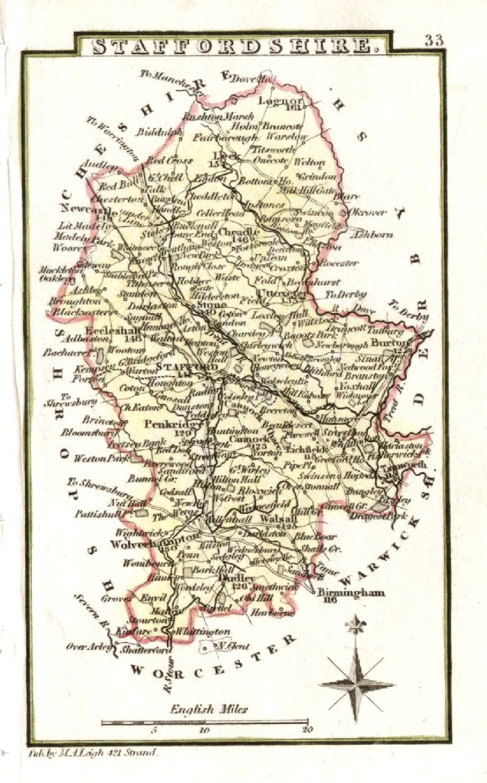
Staffordshire
Archer
c1840 size:250 x 180 mm Antique Map Ref GIM011 £12.00 (+P&P) click image for enlargement |
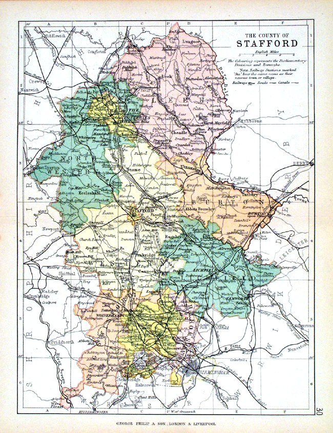 |
Stafford George Philip
1898 Colouring represents the Parliamentary Divisions and Boroughs size: 220 x 180 mm, centre fold, original printed colour Antique Map Ref HHM035 £12.00 (+P&P) click image for enlargement |
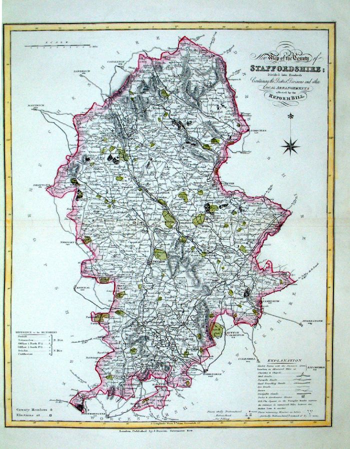 |
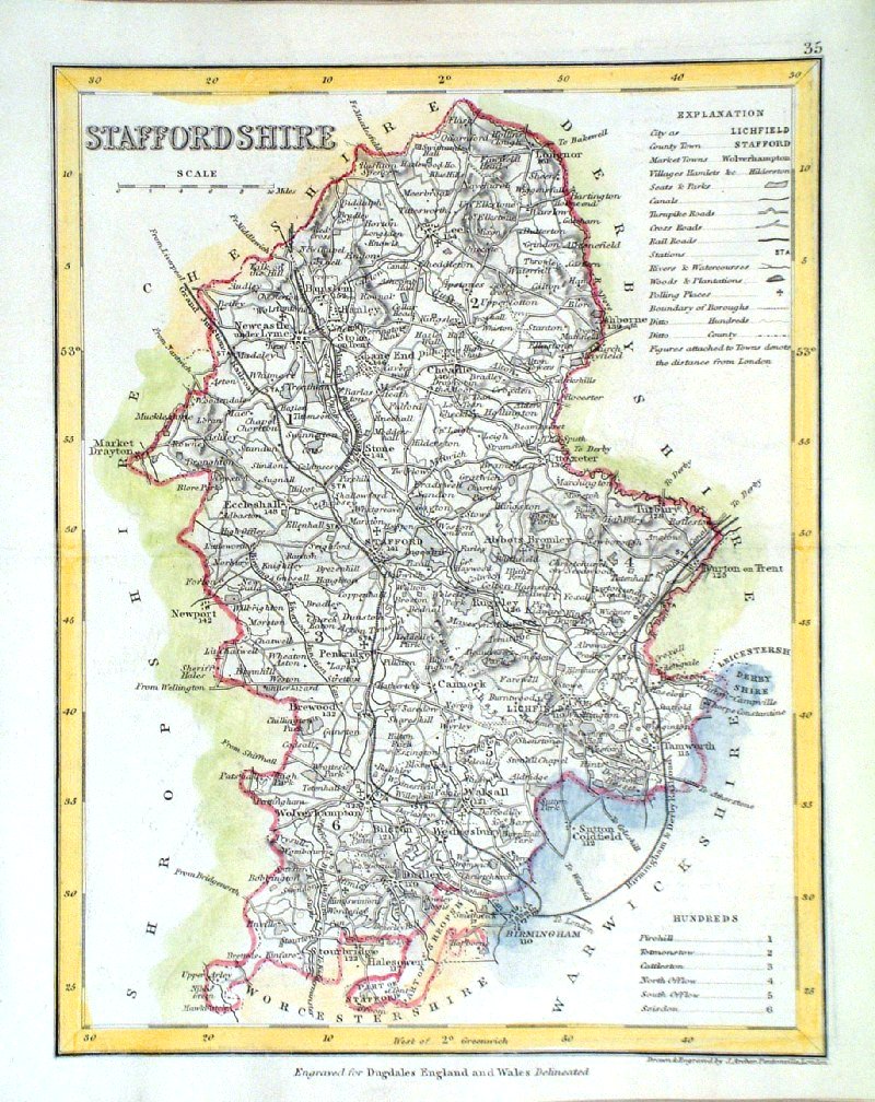
Staffordshire
J. Duncan 1833 "Map of the County of Staffordshire Divided into Hundreds Containing the District Divisions and other local arrangements effected by the Reform Bill" size: 370 x 460 mm, centre fold. Detail Ref LEM060 £26.00 (+P&P) click image for enlargement- apologies for optical distortion caused during photography. |
 |
Staffordshire
Pinnock
1833 size: 180 x 250 mm, slight overall discolouration. Ref JDM028 £16.00 (+P&P) , slight overall discolouration. Ref MKM006 £18.00 (+P&P) click image for enlargement |
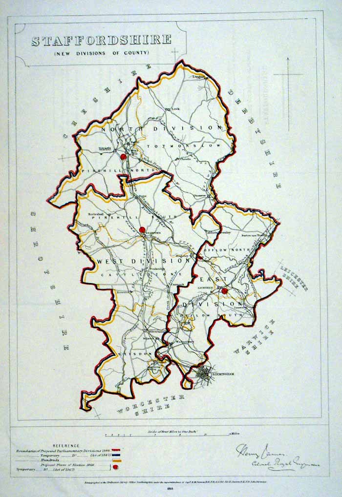 |
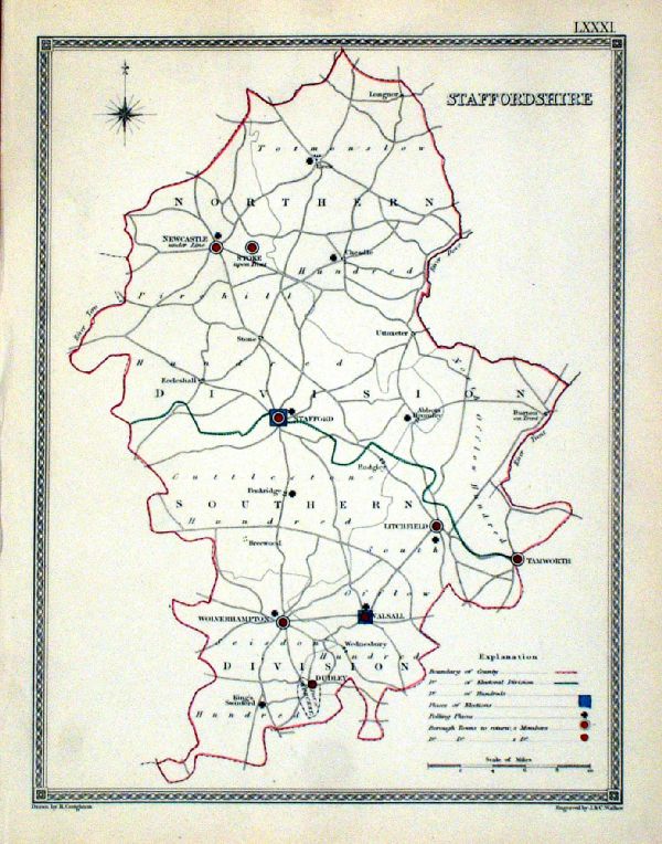
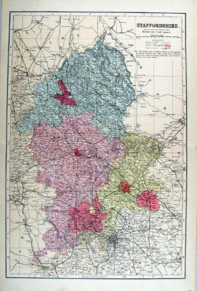
Staffordshire James
- Boundary Commission 1868 Showing the new Parliamentary Divisions The map is accompanied by 2 pages of descriptive text and statistics relating to the new count divisions. Zincograph Size: 350 x 500 mm, 3 folds Original colouring of boundaries Antique Map Ref HJS061 £26.00 (+P&P) click image for enlargement |
 |
Staffordshire
Bacon
c1883 size: 460 x 310 mm, double page, centre fold Coloured to represent Parliamentary Divisions. This series of Bacon maps contains great detail and is very popular with historians. Ref FLM124 £15.00 (+P&P) click image for enlargement |
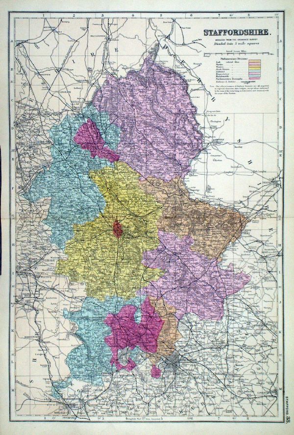 |
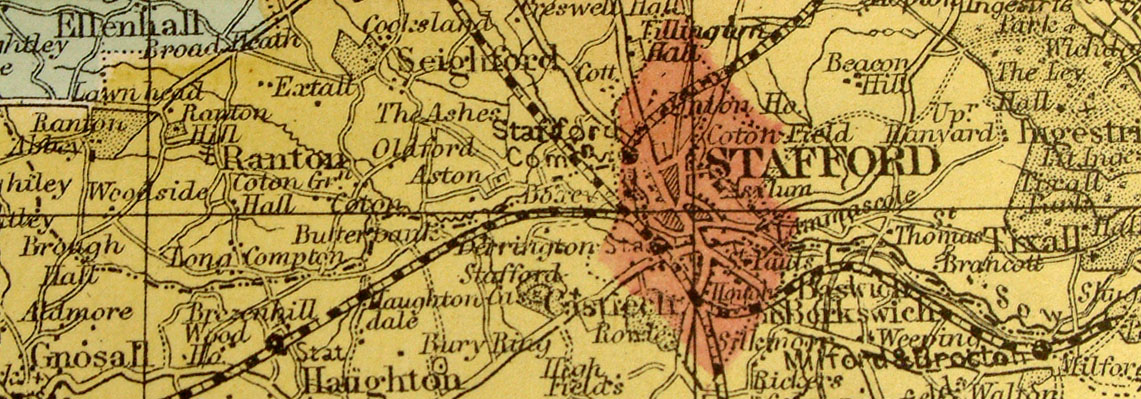
Staffordshire From the New Large Scale Atlas of the British Isles by G.W. Bacon 1892 size: 330 x 480 mm, centre fold. Coloured to represent Parliamentary Divisions. Ref LHM118 £15.00 (+P&P) Detail click image for enlargement |
Suffolk |
Link
to Staffordshire Prints Suffolk |
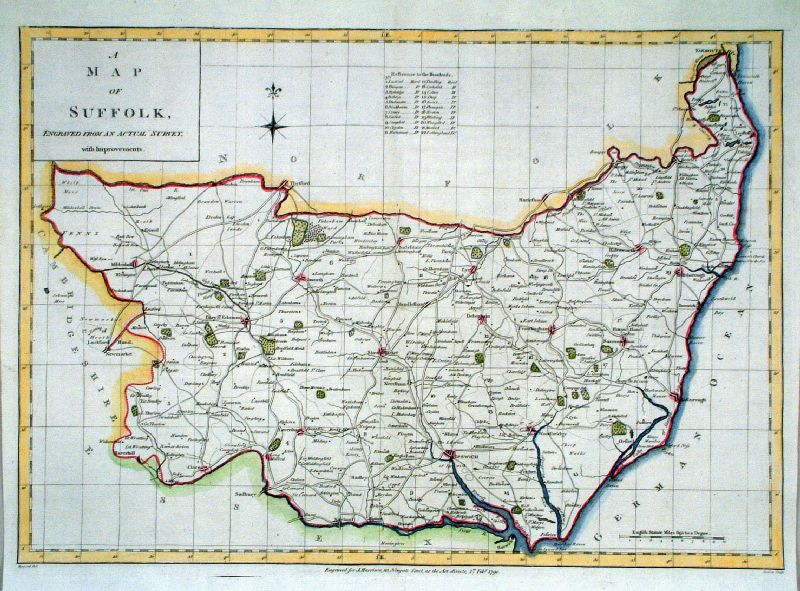 |
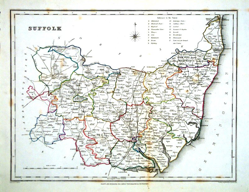
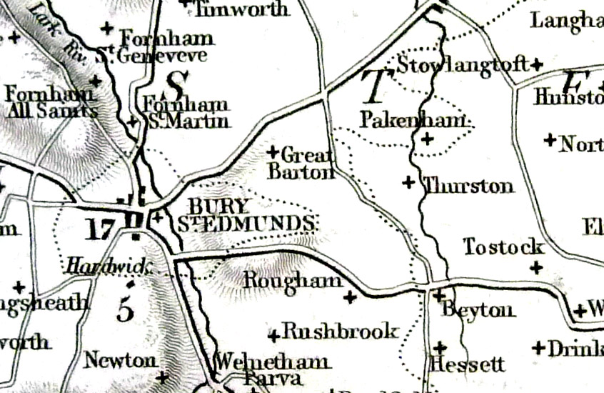
Suffolk
Harrison 1790 Size: 450 x 380 mm , centre fold Ref JDM034 £45.00 (+P&P) click image for enlargement |
 |
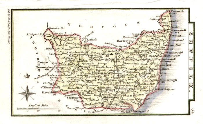
Suffolk
Capper
1808 Engraved
by
Cooper for Benjamin Pitts Capper Size: 190 x 120 mm Antique Map Ref GDM208 £20.00 (+P&P) click image for enlargement |
 |
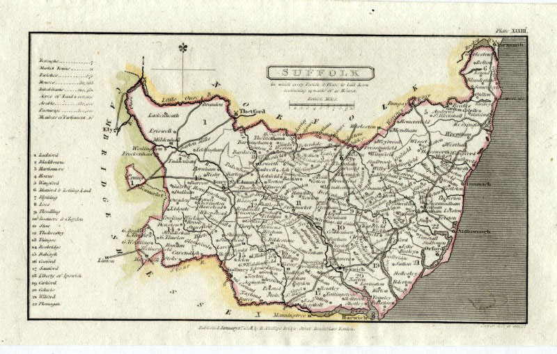
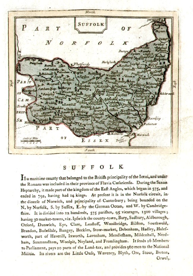
Suffolk Owen-Bowen 1720 size: 120 x 180 mm Antique Map Ref FKM028 £26.00 (+P&P) click image for enlargement |
 |
Suffolk Seller- Grose
1787 size: 150 x
120 mm Antique Map Ref ELM027 £26.00 (+P&P) click image for enlargement |
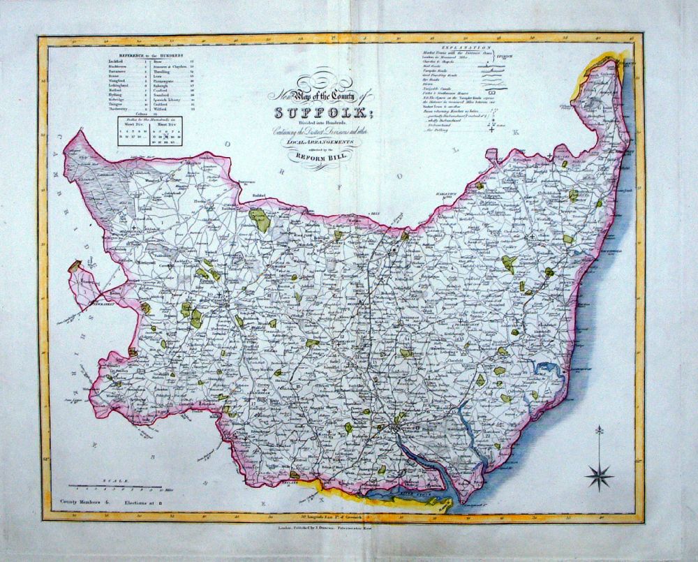 |
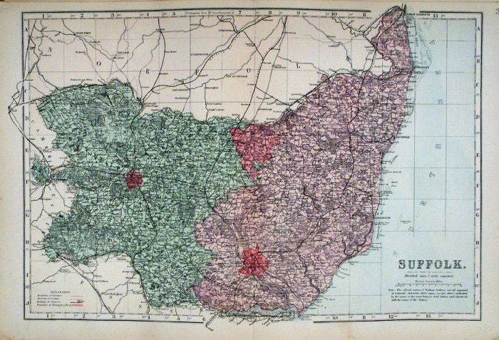
Suffolk
J. Duncan 1833 "Map of the County of Suffolk Divided into Hundreds Containing the District Divisions and other local arrangements effected by the Reform Bill" size: 460 x 370 mm, centre fold. Detail a few creases about centrefold Ref LEM035 £28.00 (+P&P) click image for enlargement- apologies for optical distortion caused during photography. |
 |
Suffolk Geological map Reynolds / Emslie c1860 First Edition size: 200 x 250mm, centre fold, very slight discolouration at fold. Original hand colouring of geological structure - Colour Reference Key - click here Antique Map Ref KLM027 £25.00 (+P&P) click image for enlargement |
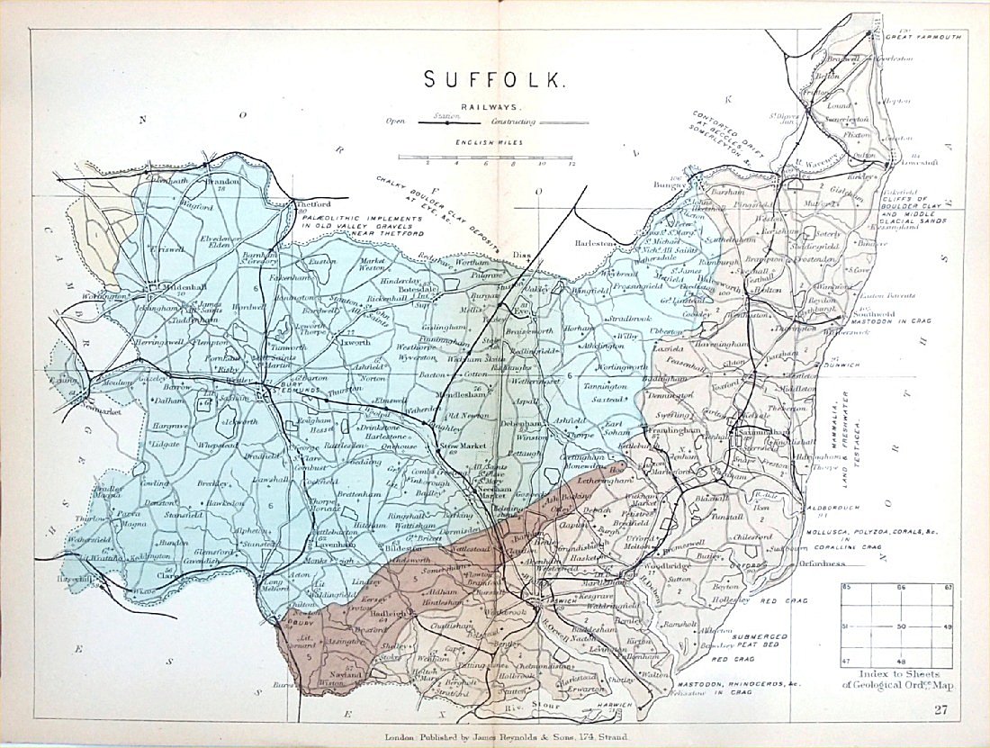 |
Suffolk
Geological map James Reynolds 1889 Second Edition (new map, additional data, side notes, different colouring) size: 185 x 250mm, centre fold, very slight discolouration at fold. Original hand colouring of geological structure - Colour Reference Key - click here Antique Map Ref RAM028 £25.00 (+P&P) click image for enlargement |
 |
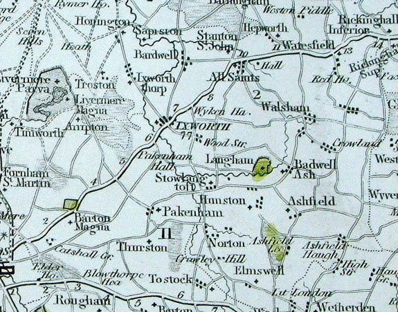
Suffolk Bacon
c1883 size: 460 x 310 mm, double page, centre fold Antique Map Ref FLM125 £15.00 (+P&P) click image for enlargement |
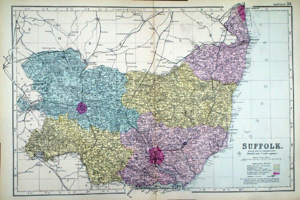 |
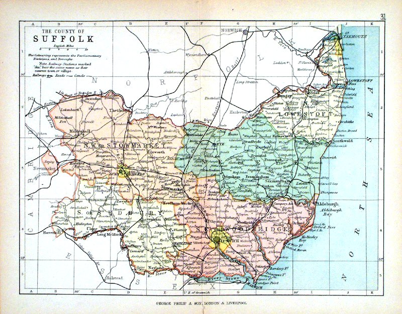
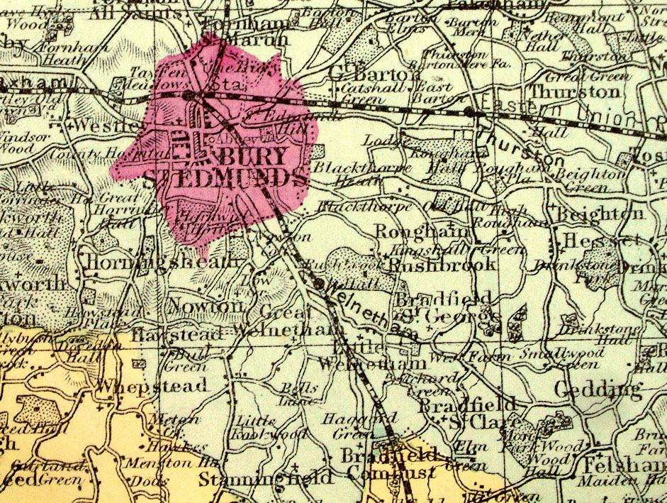
Suffolk From the New Large Scale Atlas of the British Isles by G.W. Bacon 1892 size: 480 x 330 mm, centre fold Coloured to represent Parliamentary Divisions. Ref LHM117 £15.00 (+P&P) Detail click image for enlargement |
 |
Suffolk Lewis c1842
size: 250 x 310 mm , 1 fold Ref GHM116 £16.00 (+P&P) , a few faint foxing spots, Original hand colour Ref NAM036 £16.00 (+P&P) Typical detail expected from this series of Lewis maps - D1, D2, D3 Details are not specifically from the map shown here. click image for enlargement |
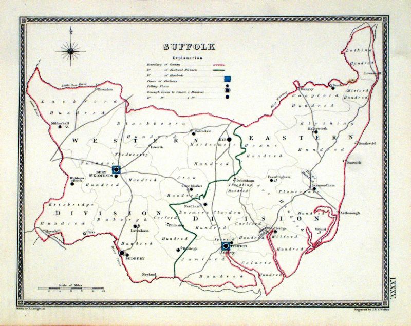 |
Suffolk
Depicting electoral divisions and polling places.
Samuel Lewis 1835 engraved by J & C Walker Steel engraving Size: 250 x 200 mm, Original colouring of boundaries. Antique Map Ref KJM085 £16.00 (+P&P) click image for enlargement |
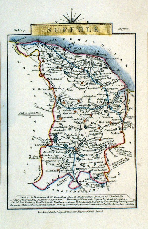 |
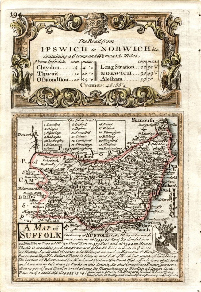
Suffolk
Cary 1819
Copper engraving size: 100 x 150 mm Ref LEM003 £22.00 (+P&P) click image for enlargement |
 |
Suffolk Leigh 1837
size: 80 x 130 mm Antique Map Ref GGM034 £16.00 (+P&P) click image for enlargement |
 |
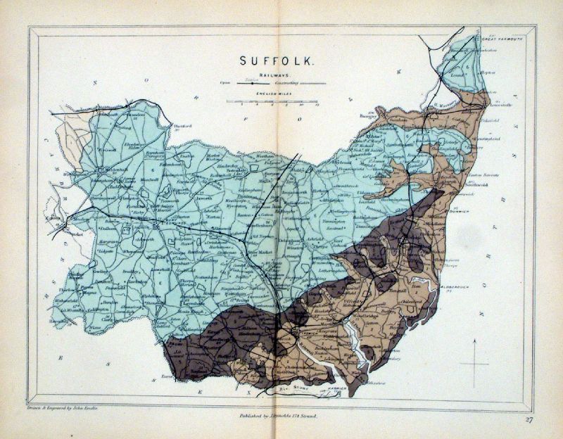
Suffolk George Philip
1898 Colouring represents the Parliamentary Divisions and Boroughs size: 220 x 180 mm, centre fold, original printed colour Antique Map Ref HHM036 £12.00 (+P&P) click image for enlargement |
Surrey |
Link to
Suffolk Prints Surrey |
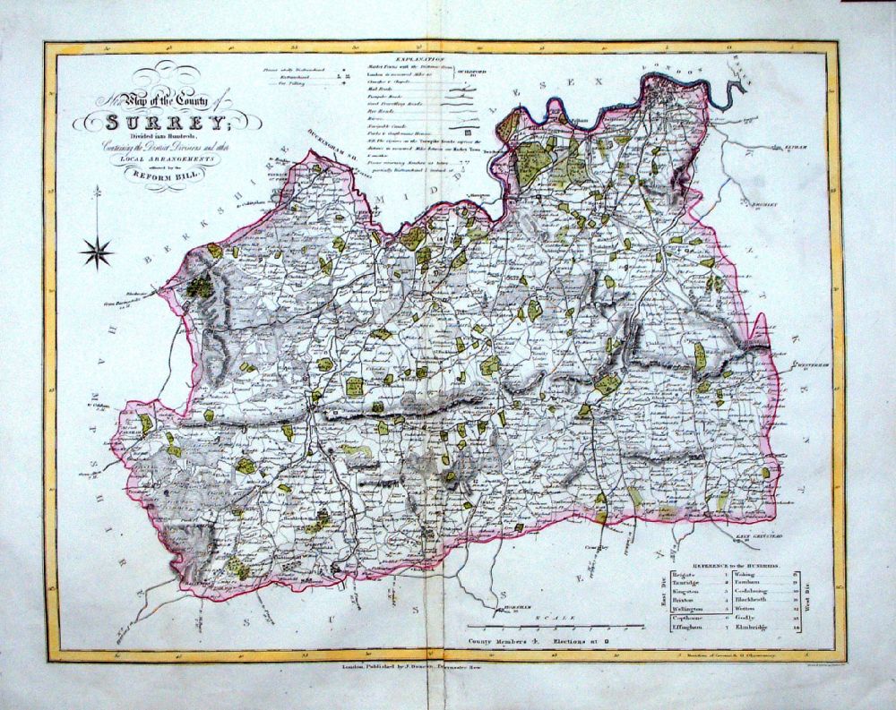 |
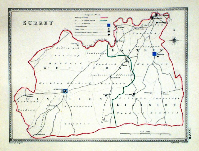
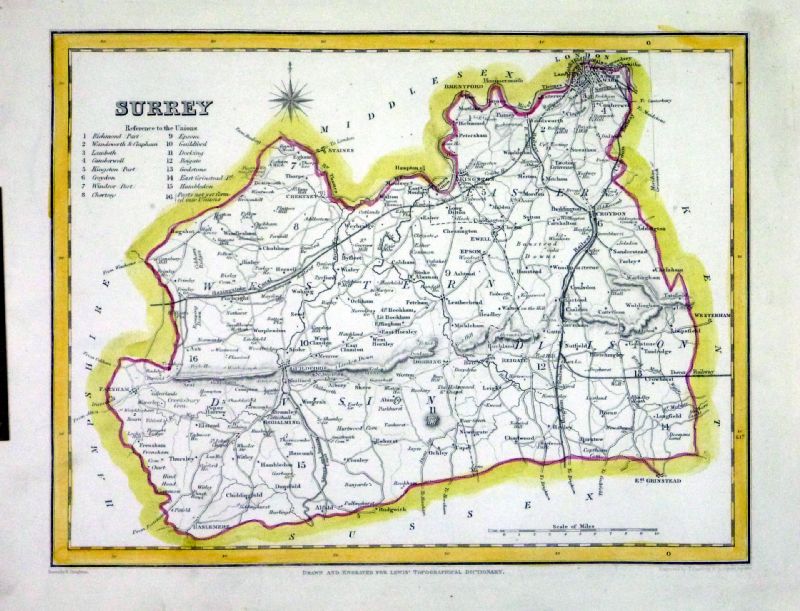
Surrey
J. Duncan 1833 "Map of the County of Surrey Divided into Hundreds Containing the District Divisions and other local arrangements effected by the Reform Bill" size: 460 x 370 mm, centre fold. Detail a few creases about centrefold Ref LEM026 £38.00 (+P&P) click image for enlargement- apologies for optical distortion caused during photography. |
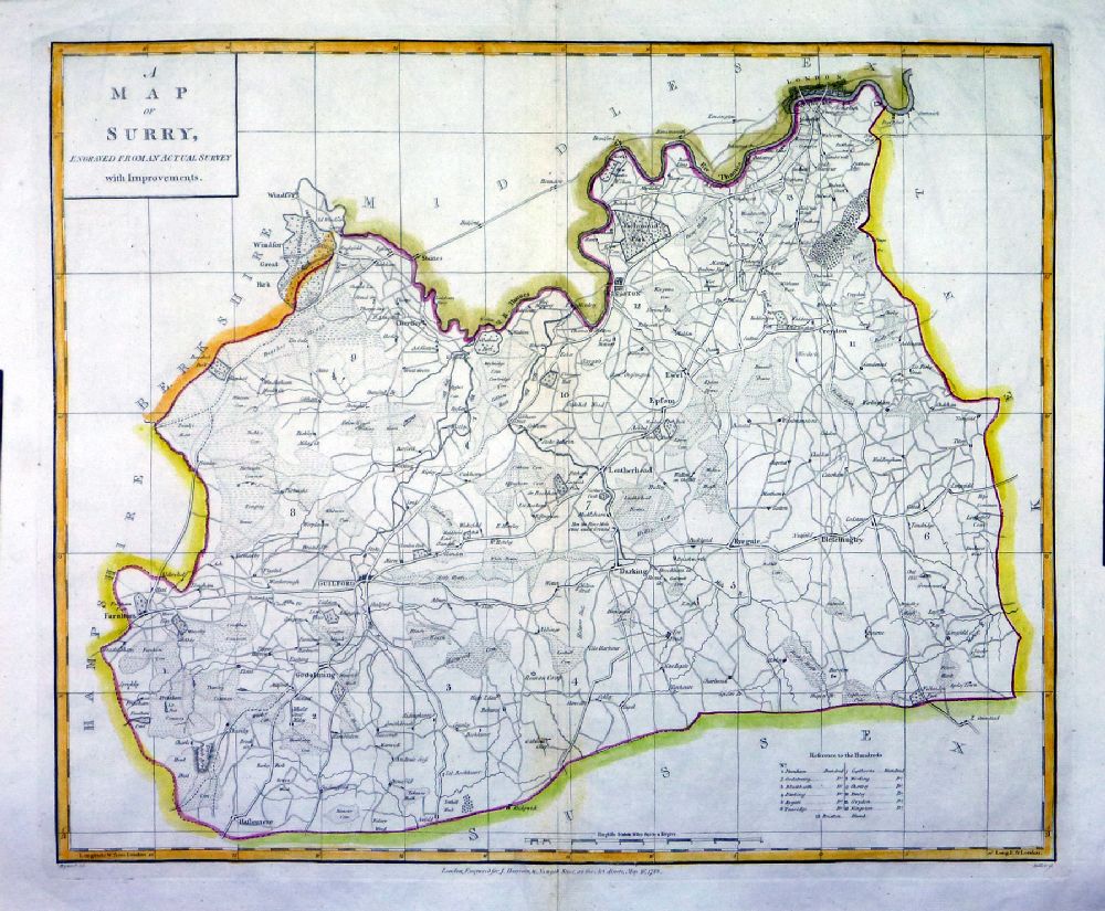 |
Surrey
J. Harrison 1788
Heywood / Sudlow size: 360 x 480 mm, centre fold, a few minor repairs - not a perfect copy Ref NKM015 £36.00 (+P&P) Detail click image for enlargement- apologies for optical distortion and uneven lighting caused during photography. |
 |
Surrey Pinnock
1833 size: 250 x 180 mm Ref MKM030 £18.00 (+P&P) , repair at top margin click image for enlargement |
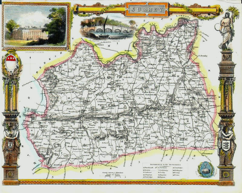 |
Surrey Thomas
Moule c1845 Inset View of Dulwich College size: 260 x 200 mm, tight left margin Ref IFM082 £50.00 (+P&P) click image for enlargement |
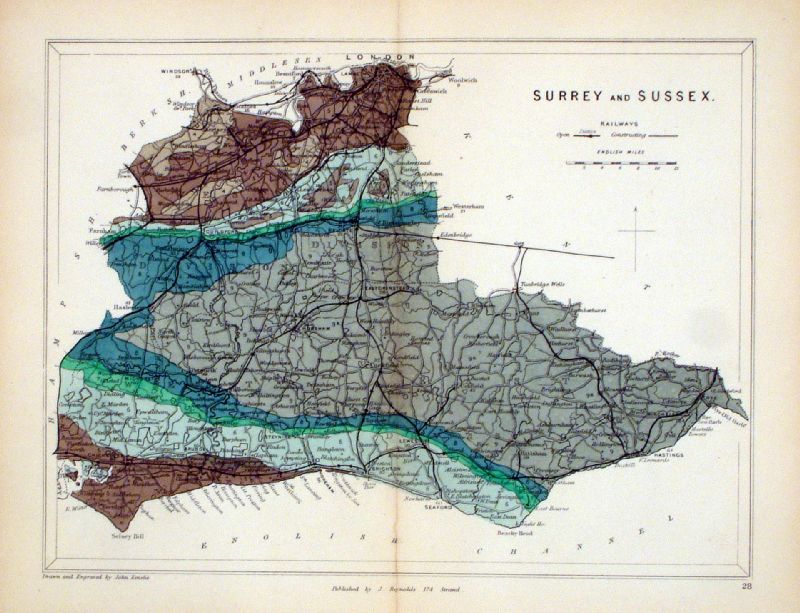 |
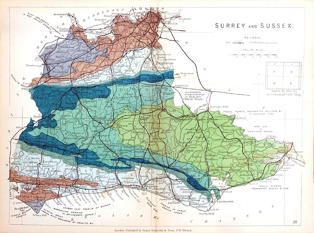
Surrey & Sussex
Geological map Reynolds / Emslie c1860 First Edition size: 200 x 250mm, centre fold, very slight discolouration at fold. Original hand colouring of geological structure - Colour Reference Key - click here Antique Map Ref KLM028 £26.00 (+P&P) click image for enlargement |
 |
Cambridgeshire &
Huntingdonshire Geological map James Reynolds 1889 Second Edition (new map, additional data, side notes, different colouring) size: 185 x 250mm, centre fold, very slight discolouration at fold. Original hand colouring of geological structure - Colour Reference Key - click here Antique Map Ref RAM029 £26.00 (+P&P) click image for enlargement |
 |
Surrey
Depicting electoral divisions and polling places.
Samuel Lewis 1835 engraved by J & C Walker Steel engraving Size: 250 x 200 mm, Original colouring of boundaries. Antique Map Ref KJM087 £18.00 (+P&P) click image for enlargement |
 |
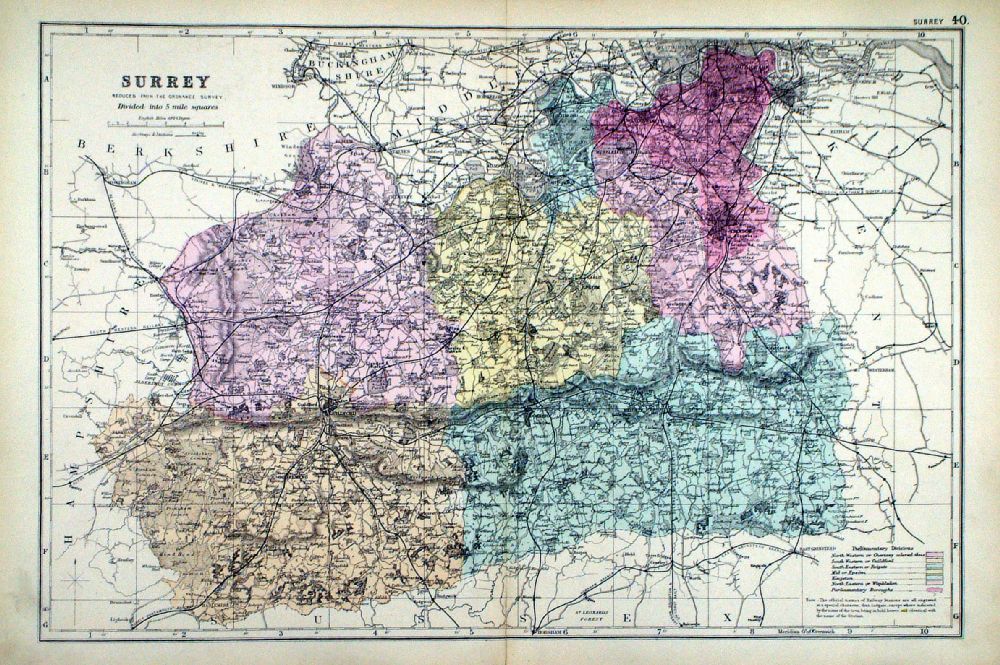
Surrey
Samuel Lewis 1842 engraved by J & C Walker Steel engraving Size: 250 x 200 mm Antique Map Ref NAM037 £16.00 (+P&P) Typical detail expected from this series of Lewis maps - D1, D2, D3 Details are not specifically from the map shown here. click image for enlargement |
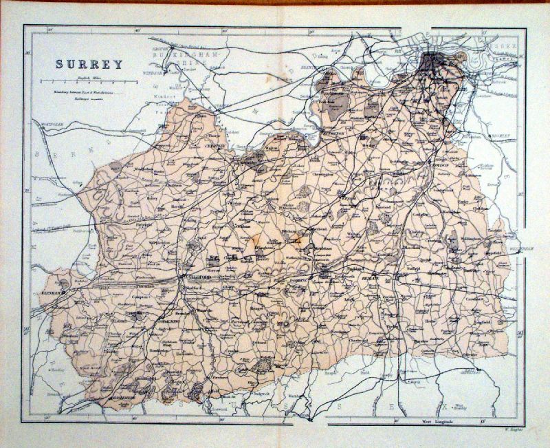 |
Surrey Hughes
1868 size: 320 x 260 mm, centre fold, original printed colour Antique Map Ref KGM038 £24.00 (+P&P) click image for enlargement |
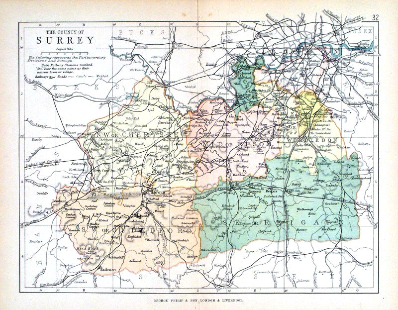 |
Surrey George Philip
1898 Colouring represents the Parliamentary Divisions and Boroughs size: 220 x 180 mm, centre fold, original printed colour Antique Map Ref HHM037 £16.00 (+P&P) click image for enlargement |
 |
Surrey
Bacon 1884 Colouring represents the Parliamentary Divisions and Boroughs size: 480 x 330 mm, centre fold, original printed colour Antique Map Ref JKM022 £18.00 (+P&P) Antique Map Ref JKM023 £18.00 (+P&P) click image for enlargement |
 |
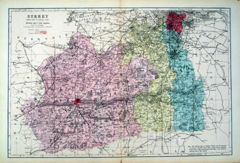
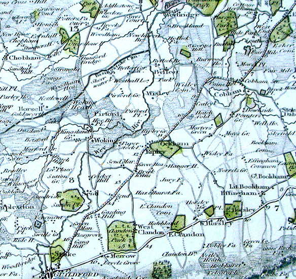
Surrey From the New Large Scale Atlas of the British Isles by G.W. Bacon 1892 size: 480 x 330 mm, centre fold Coloured to represent Parliamentary Divisions. Ref LHM116 £18.00 (+P&P) Detail click image for enlargement |
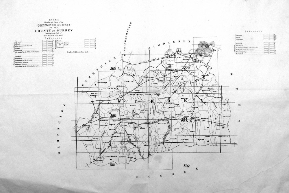 |
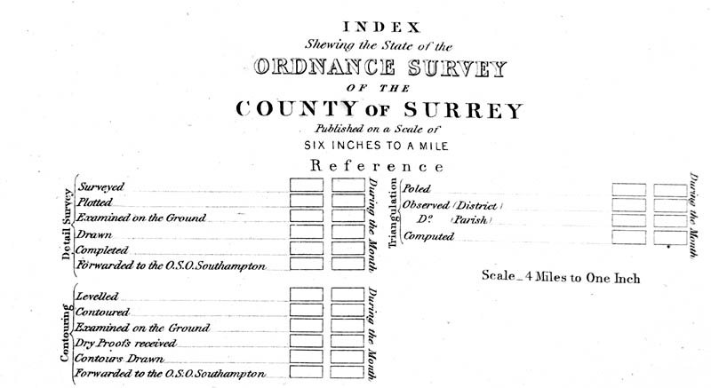
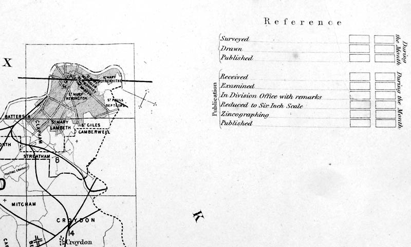
Index Shewing the
state of the Ordnance Survey of the County of Surrey This appears to be a map for use by surveyors or inspectors to report cartographic progress. The empty reference boxes are used for the noting of dates of specific mapping tasks. Date unknown. size: 490 x 340 mm, folded in 4. Not a good copy, but rare. Several repairs to tears. Ref PCM002 £30.00 (+P&P) Detail 1 Detail 2 Detail 3 click image for enlargement |
|
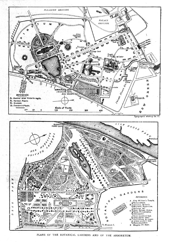
Plans of the
Botanical Gardens and of the Arboretum. (Kew Gardens) Typographic Etching size: 160 x 230 mm Antique Map Ref PBM001 £20.00 (+P&P) click image for enlargement |
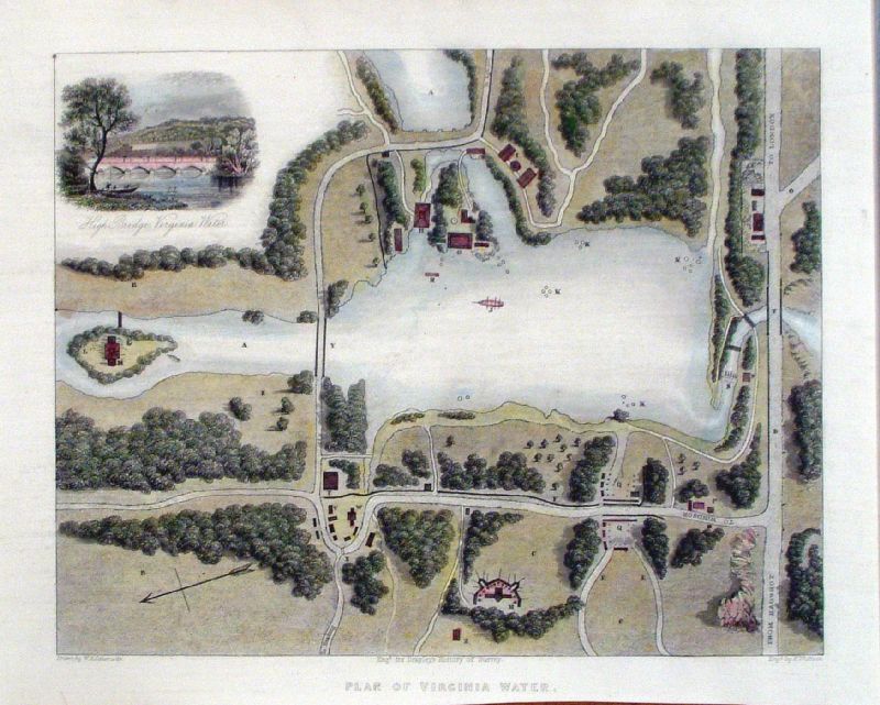 |
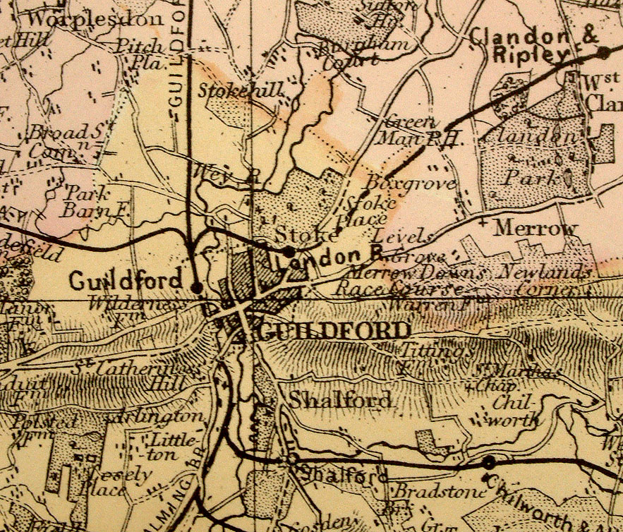
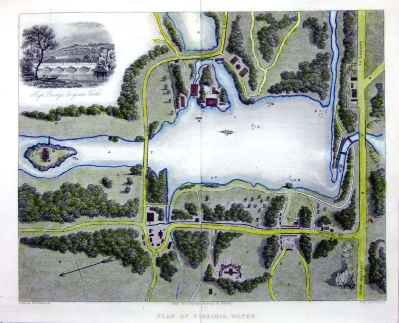
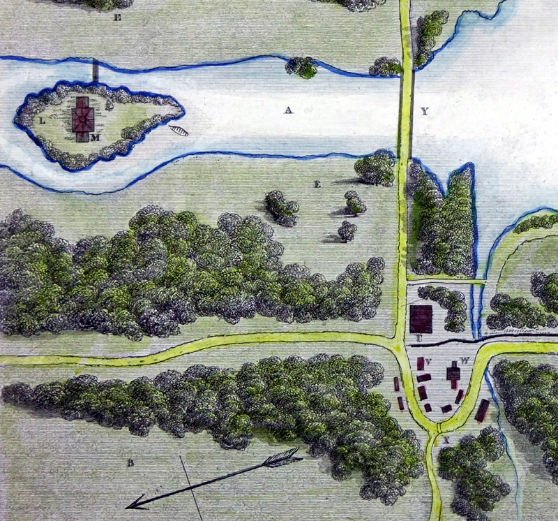
Plan of Virginia Water
Brayley/Delamotte/Whittock c1850 Steel engraving size: 250 x 220 mm Antique Map Ref KDM001 £30.00 (+P&P) Antique Map Ref OJM006 £30.00 (+P&P) Detail click image for enlargement |
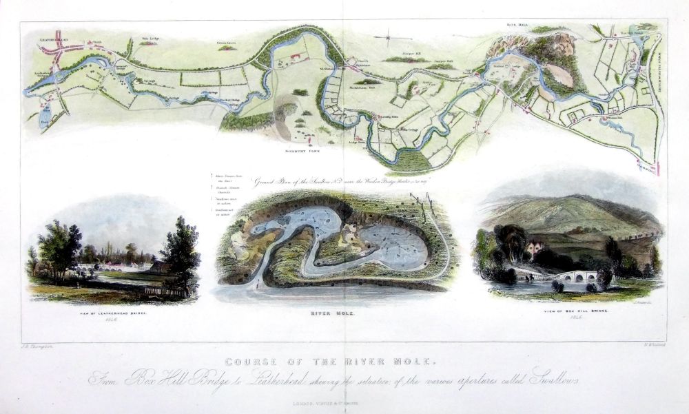 |
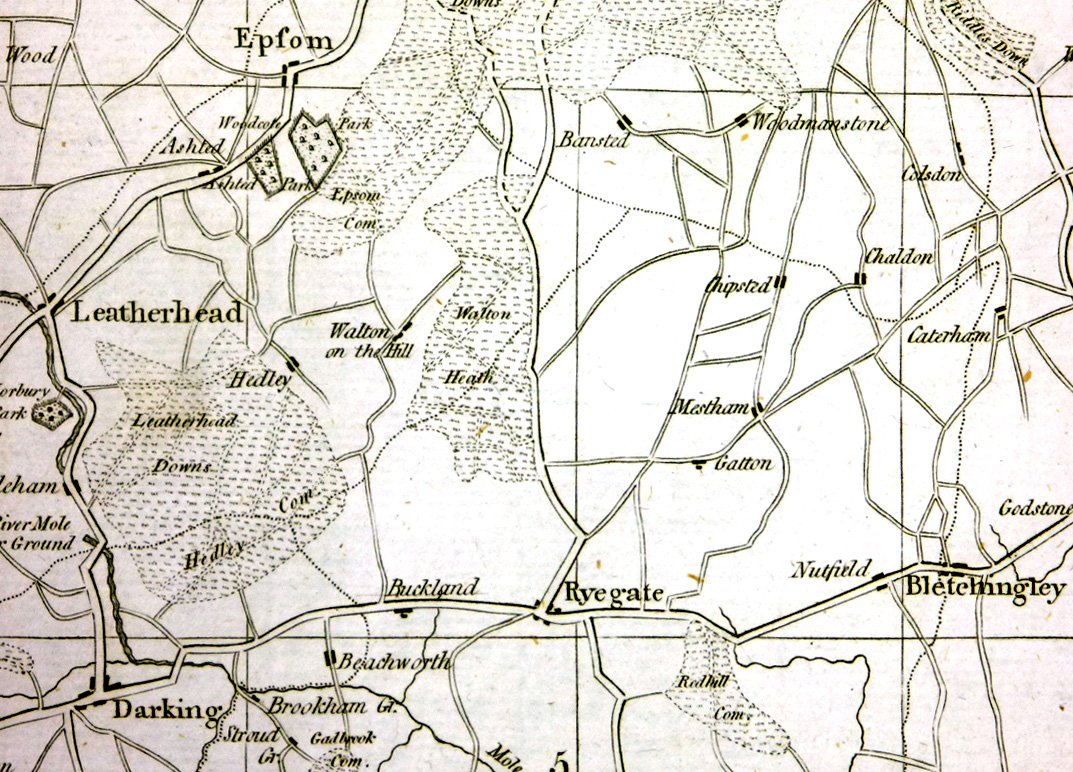
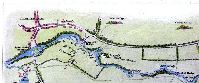
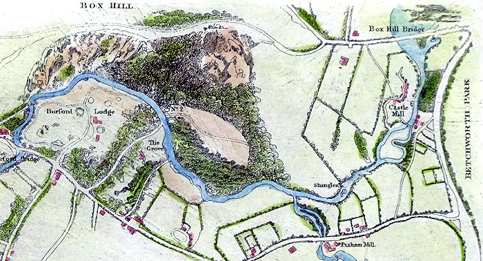
Course of the River
Mole From Box Hill Bridge to Leatherhead shewing the situation of the various apertures called Swallows. Thomson & Whittock for Brayley's History of Surrey c1850 Steel engraving size: 250 x 220 mm Antique Map Ref OJM005 £50.00 (+P&P) Detail 1 Detail 2 click image for enlargement |
| Maps of the River Thames
through Surrey may be at UK - Rivers Link to Surrey Prints |
|
Sussex |
Sussex |
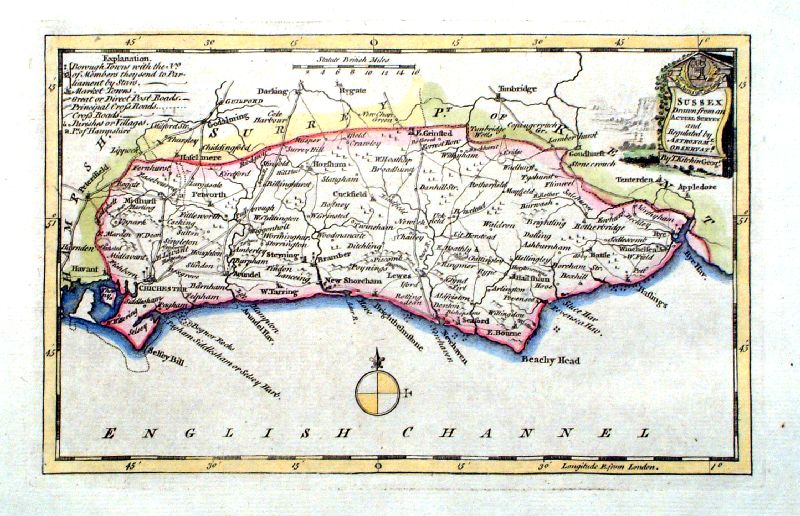 |
All Sussex maps SOLD |
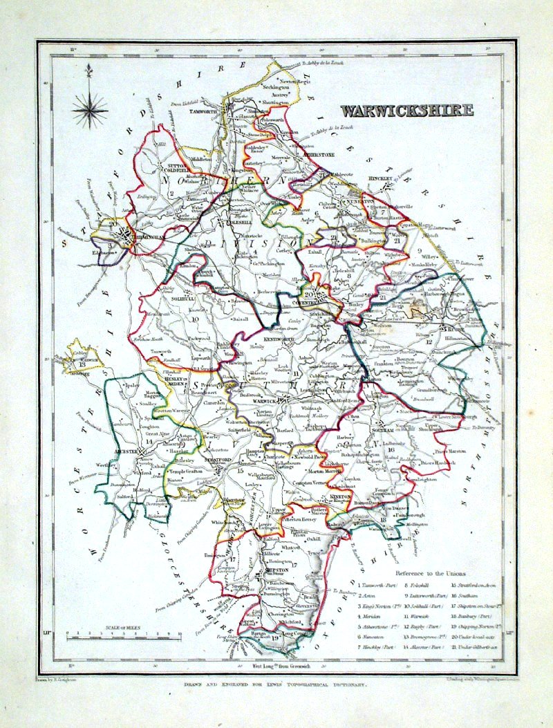
Warwickshire |
Link to Sussex Prints Warwickshire |
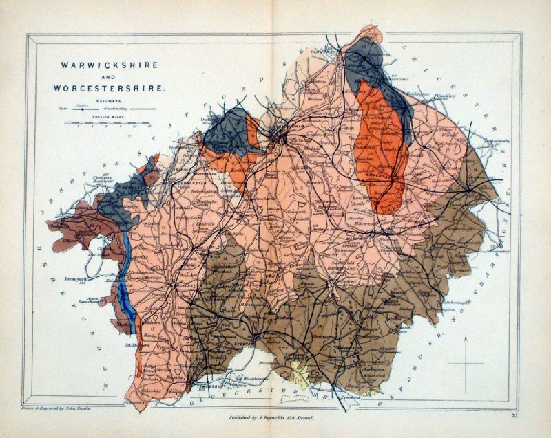 |
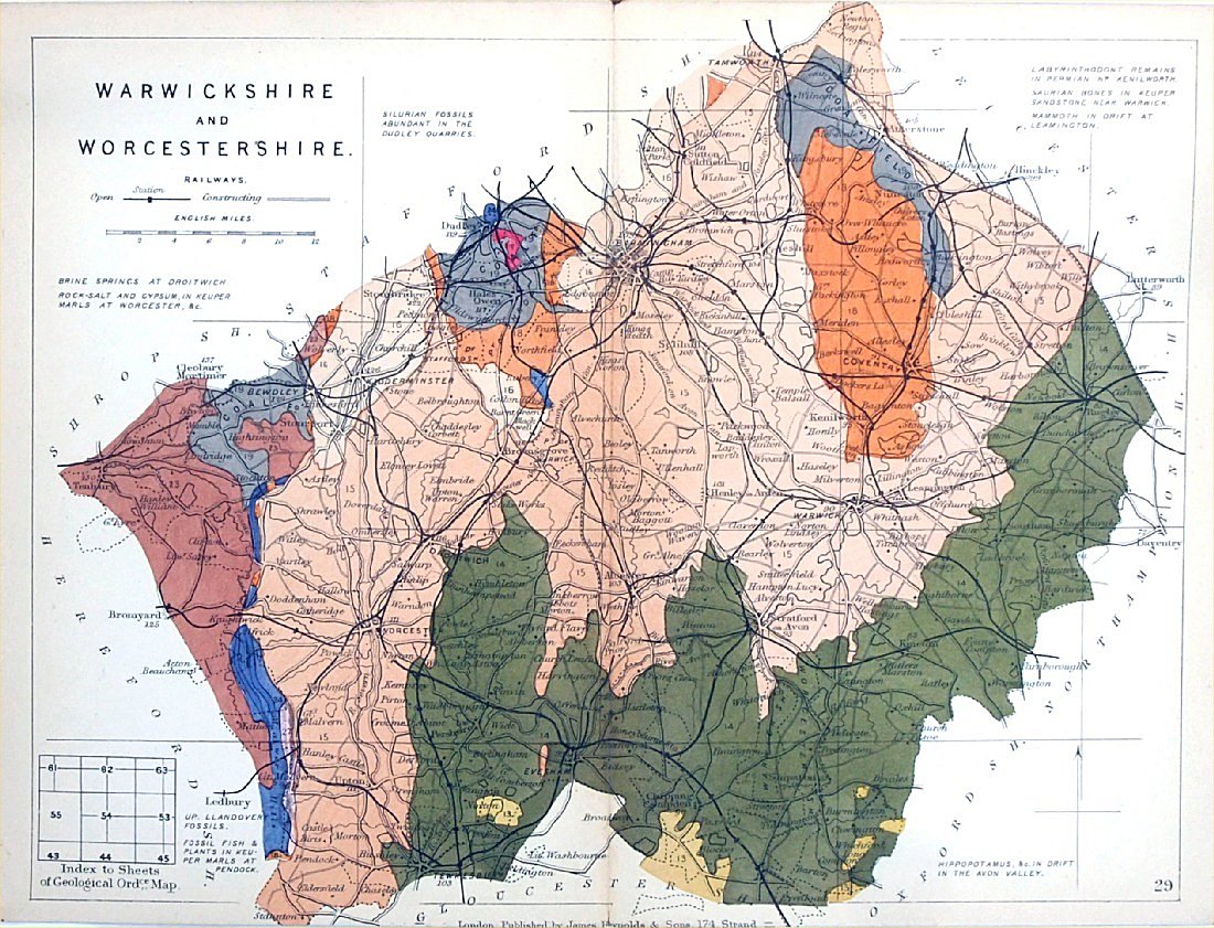
Warwickshire & Worcestershire
Geological map Reynolds / Emslie c1860 First Edition size: 200 x 250mm, centre fold, very slight discolouration at fold. Original hand colouring of geological structure - Colour Reference Key - click here Antique Map Ref KLM031 £24.00 (+P&P) click image for enlargement |
 |
Cambridgeshire &
Huntingdonshire Geological map James Reynolds 1889 Second Edition (new map, additional data, side notes, different colouring) size: 185 x 250mm, centre fold, very slight discolouration at fold. Original hand colouring of geological structure - Colour Reference Key - click here Antique Map Ref RAM030 £22.00 (+P&P) click image for enlargement |
 |
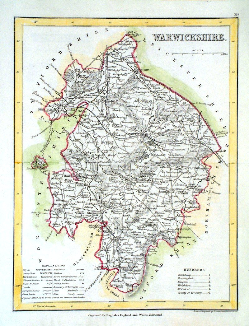
Warwickshire Lewis
c1842
size: 250 x 190 mm Ref GHM119 £16.00 (+P&P) a few faint foxing spots, Original hand colour Ref NAM038 £16.00 (+P&P) Typical detail expected from this series of Lewis maps - D1, D2, D3 Details are not specifically from the map shown here. click image for enlargement |
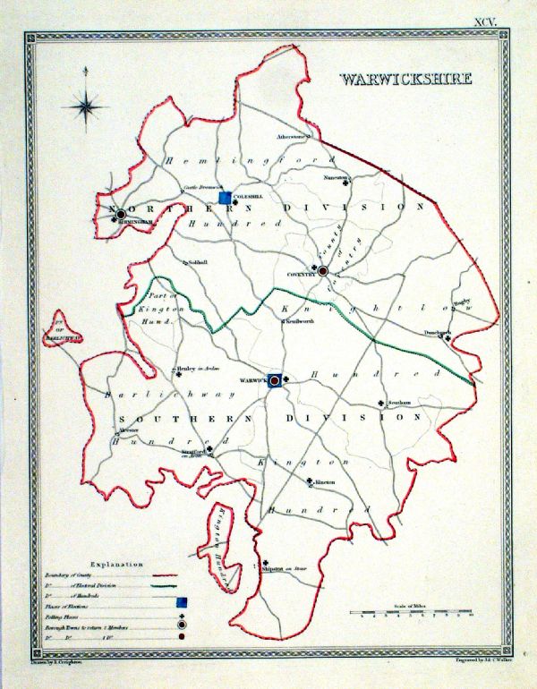 |
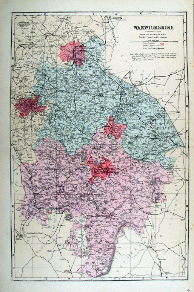
Warwickshire
Depicting electoral divisions and polling places. Samuel Lewis 1835 engraved by J & C Walker Steel engraving Size: 200 x 250 mm, Original colouring of boundaries. Antique Map Ref KJM095 £16.00 (+P&P) click image for enlargement |
 |
Warwickshire
Archer
c1840 size:250 x 180 mm Antique Map Ref GIM008 £12.00 (+P&P) click image for enlargement |
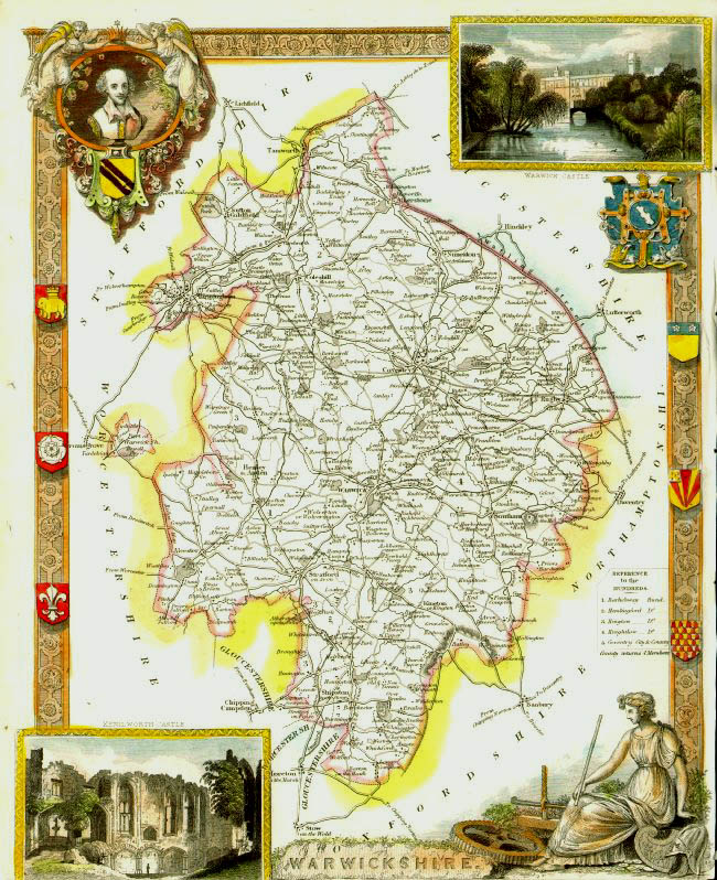 |
Warwickshire
Thomas
Moule c1845 size: 210 x 270 mm Trimmed lower margin. Tight right margin Ref IFM084 £24.00 (+P&P) click image for enlargement |
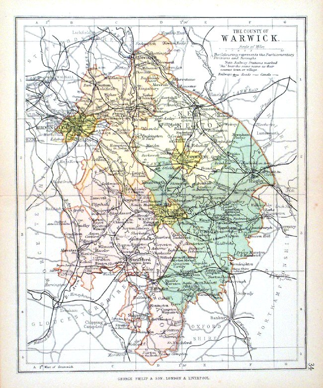 |
Warwick George Philip
1898 Colouring represents the Parliamentary Divisions and Boroughs size: 180 x 220 mm, centre fold, original printed colour Antique Map Ref HHM039 £12.00 (+P&P) click image for enlargement |
 |
Warwickshire Bacon
c1883 size: 460 x 310 mm, double page, centre fold Coloured to represent Parliamentary Divisions. This series of Bacon maps contains great detail and is very popular with historians. Ref FLM128 £15.00 (+P&P) click image for enlargement |
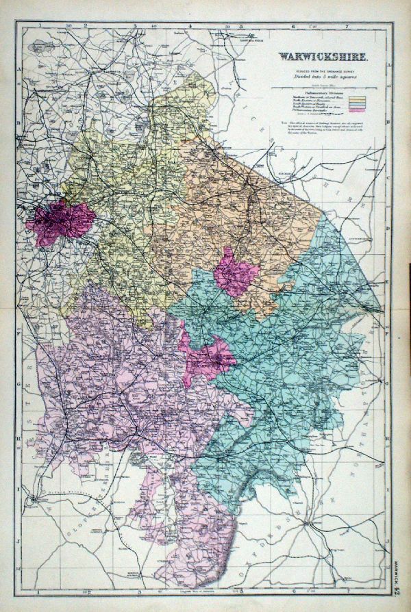 |
Warwickshire From the New Large Scale Atlas of the British Isles by G.W. Bacon 1892 size: 330 x 480 mm, centre fold Coloured to represent Parliamentary Divisions. Ref LHM114 £15.00 (+P&P) Detail click image for enlargement |
Westmorland |
Link to
Warwickshire Prints Westmorland |
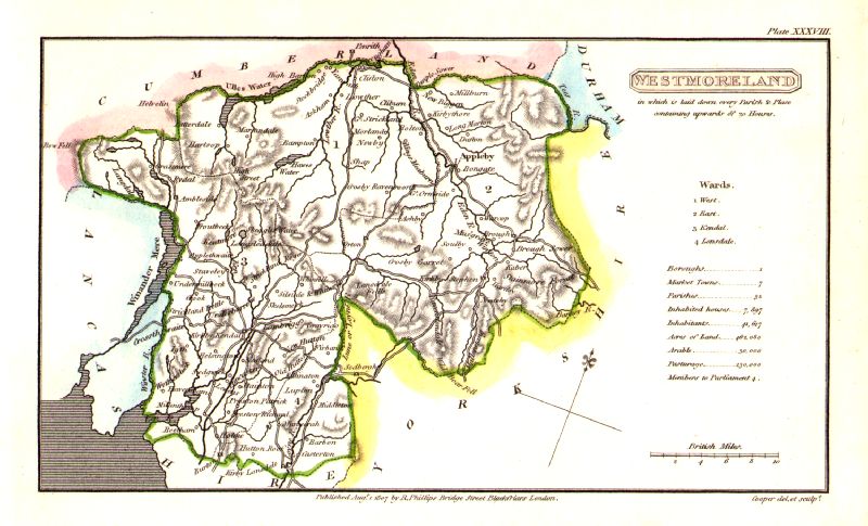 |
Westmorland Cooper
1807
Rare edition dated August 1, 1807, prior to the popular Capper edition of 1808 'Published Aug 1 1807 by R. Phillips, Bridge Street, Blackfriars, London' Size: 190 x 120 mm Ref IFM038 £22.00 (+P&P) click image for enlargement |
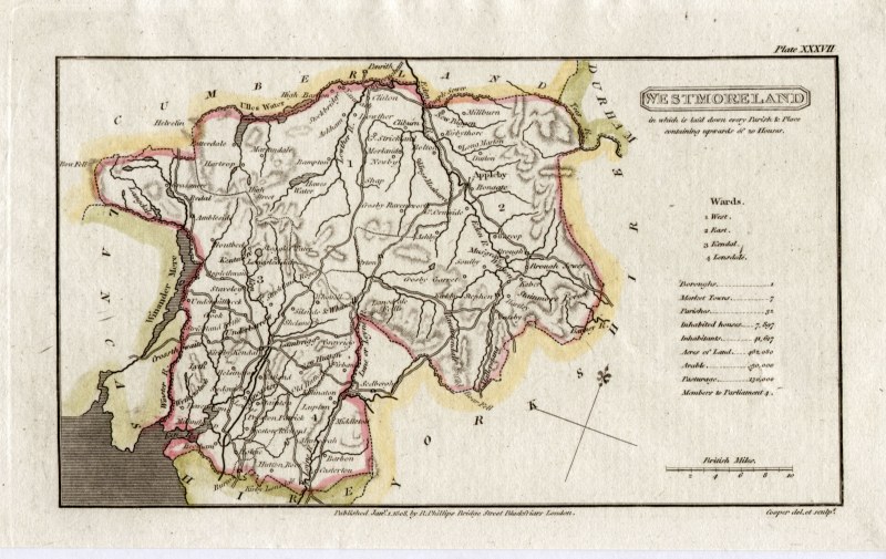 |
Westmorland
Capper
1808 Engraved
by
Cooper for Benjamin Pitts Capper Size: 190 x 120 mm Antique Map Ref GDM220 £18.00 (+P&P) click image for enlargement |
 |
Westmoreland
Pinnock
1833 size: 180 x 250 mm, repair to torn, top-left corner Ref MKM005 £12.00 (+P&P) click image for enlargement |
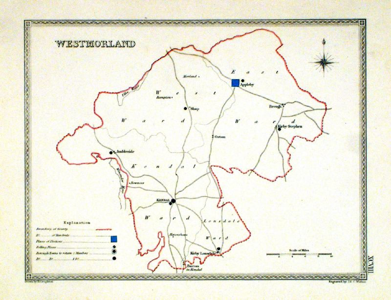 |
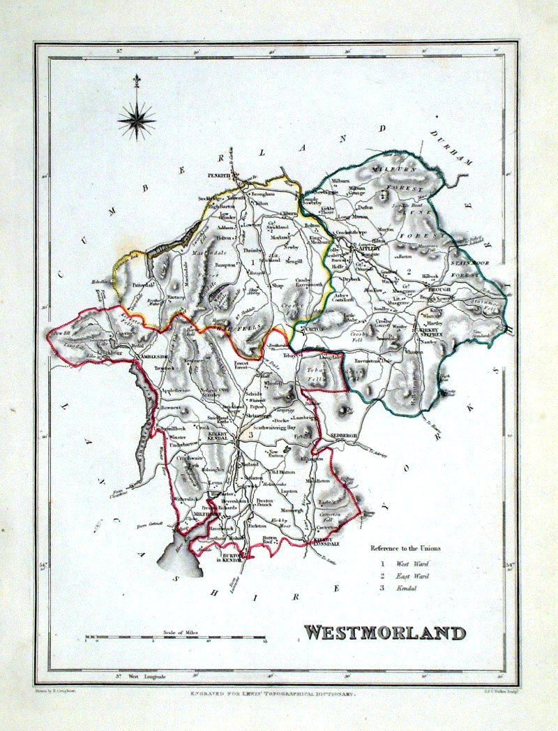
Westmorland
Depicting electoral divisions and polling places.
Samuel Lewis 1835 engraved by J & C Walker Steel engraving Size: 250 x 200 mm, Original colouring of boundaries. Antique Map Ref KJM098 £16.00 (+P&P) click image for enlargement |
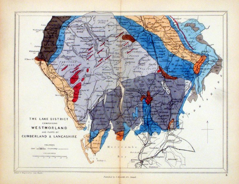 |
Westmorland, Lake District, Cumbria
Geological map Reynolds / Emslie c1860 First Edition size: 200 x 250mm, centre fold, very slight discolouration at fold. Original hand colouring of geological structure - Colour Reference Key - click here Antique Map Ref KLM008 £20.00 (+P&P) click image for enlargement |
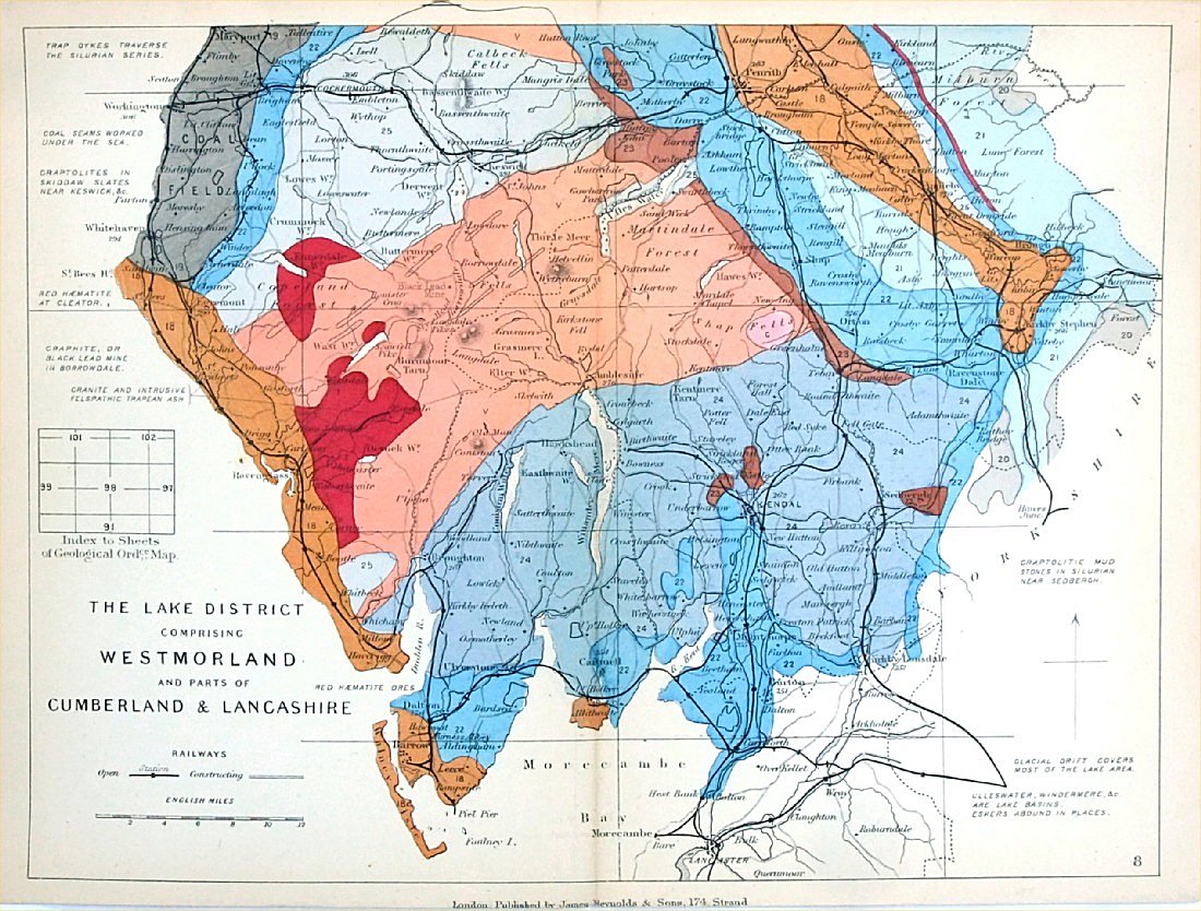 |
Westmorland, Lake District,
Cumbria
Geological map James Reynolds 1889 Second Edition (new map, additional data, side notes, different colouring) size: 185 x 250mm, centre fold, very slight discolouration at fold. Original hand colouring of geological structure - Colour Reference Key - click here Antique Map Ref RAM009 £20.00 (+P&P) click image for enlargement |
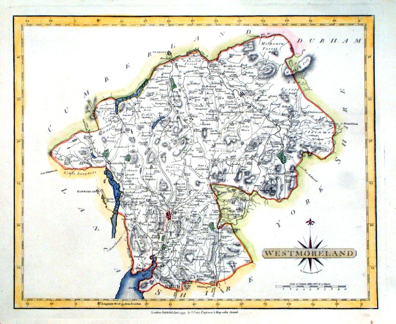 |
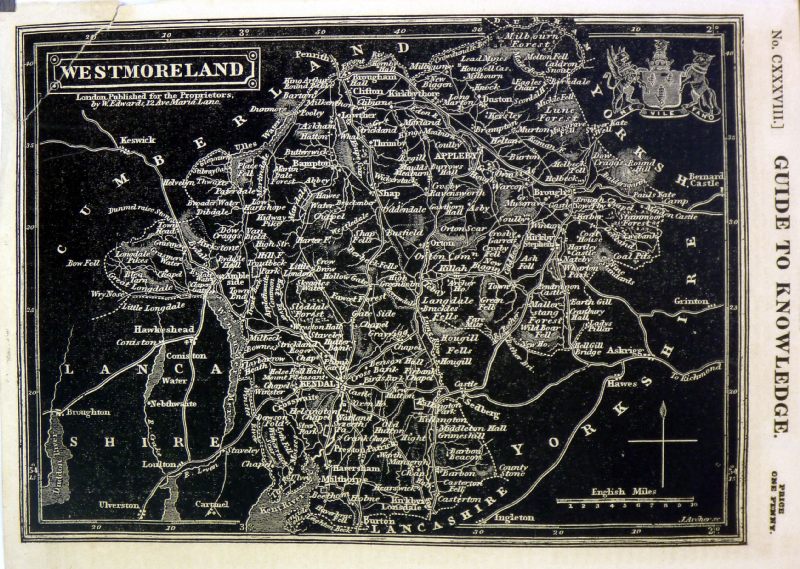
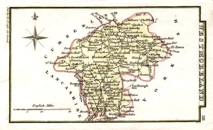
Westmorland
Cary
1793 size: 270 x 220 mm Antique Map Ref IEM005 £22.00 (+P&P) click image for enlargement |
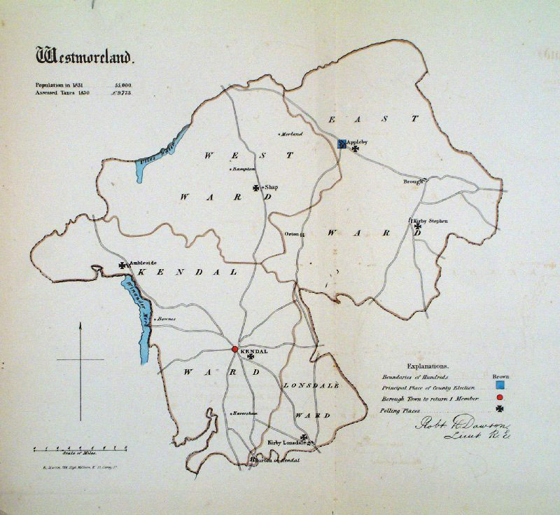 |
Westmorland Dawson
1832 from Boundary
Commission Report
size: 300 x 300 mm , 1 fold, corner crease Antique Map Ref GEM014 £18.00 (+P&P) click image for enlargement |
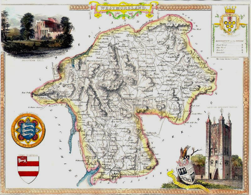 |
Westmorland Thomas
Moule
c1845 size: 210 x 270 mm Tight side margins Ref IFM077 £24.00 (+P&P) click image for enlargement |
 |
Westmorland Lewis
c1842
size: 250 x 190 mm Ref GHM120 £16.00 (+P&P) a few faint foxing spots, Original hand colour Ref NAM039 £16.00 (+P&P) Typical detail expected from this series of Lewis maps - D1, D2, D3 Details are not specifically from the map shown here. click image for enlargement |
 |
Westmorland Leigh 1837
size: 80 x 130 mm Antique Map Ref GGM038 £14.00 (+P&P) click image for enlargement |
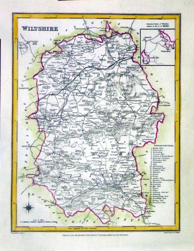
Wiltshire |
Link to
Westmorland Prints Wiltshire |
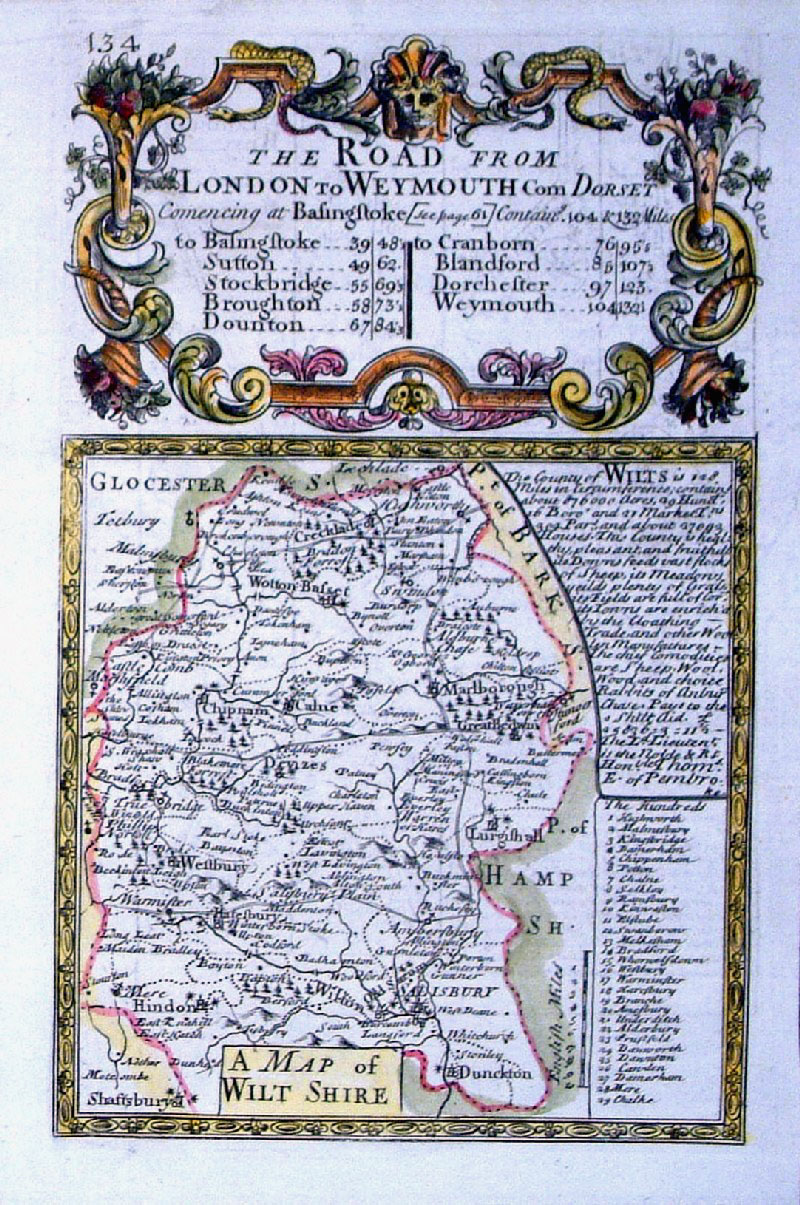 |
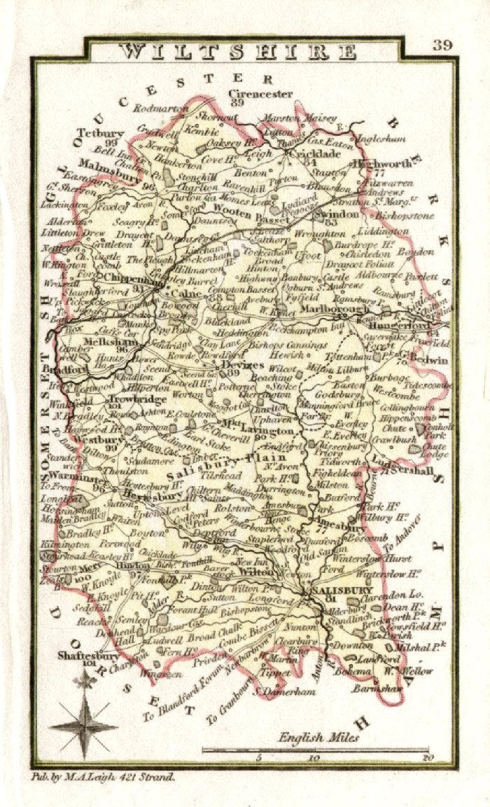
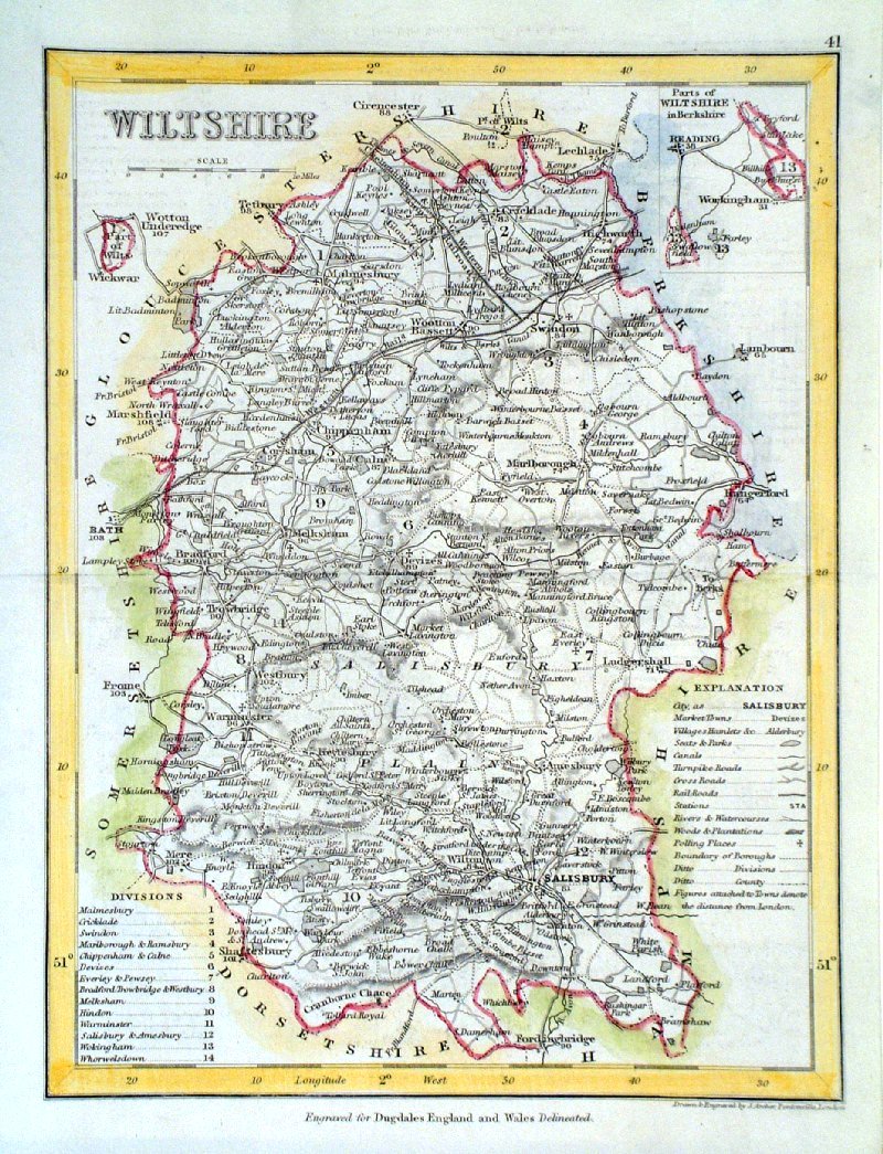
Wiltshire
Owen/Bowen 1720
Size: 120
x 190 mm Ref GFM052 £26.00 (+P&P) click image for enlargement |
 |
Wiltshire
Capper
1808 Engraved
by Cooper for
Benjamin
Pitts Capper Size: 120 x 190 mm Antique Map Ref GDM216 £20.00 (+P&P) click image for enlargement |
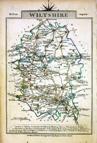 |
Wiltshire
Cary 1789 size: 155 x 105 mm, tight top (north) margin Westmoreland on reverse Ref MLM013 £18.00 (+P&P) click image for enlargement |
 |
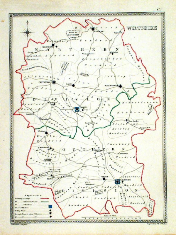
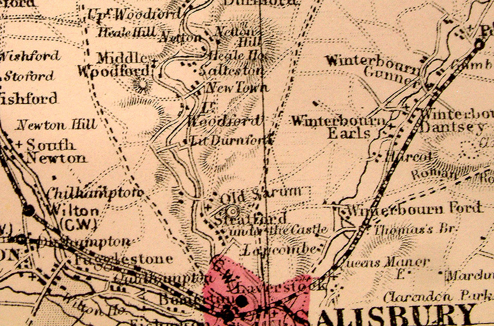
Wiltshire Lewis
c1842
size: 250 x 190 mm Ref GHM121 £16.00 (+P&P) a few faint foxing spots, Original hand colour Ref NAM040 £16.00 (+P&P) Typical detail expected from this series of Lewis maps - D1, D2, D3 Details are not specifically from the map shown here. click image for enlargement |
 |
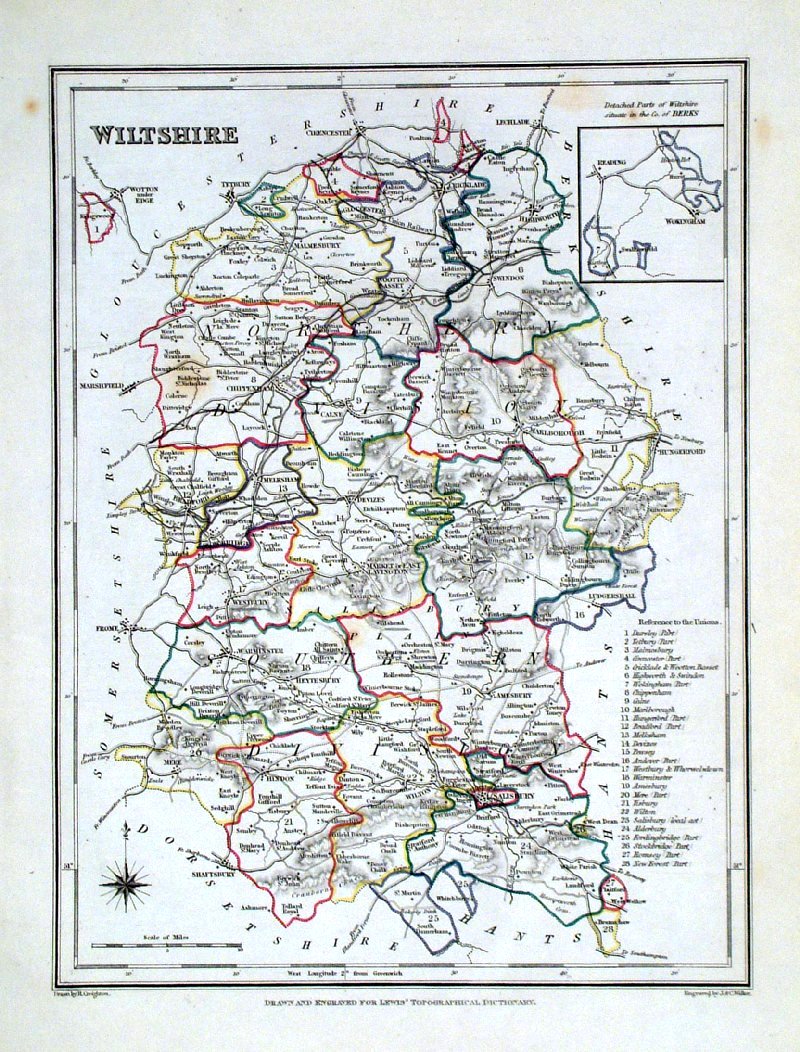
Wiltshire
Depicting electoral divisions and polling places. Samuel Lewis 1835 engraved by J & C Walker Steel engraving Size: 200 x 250 mm, Original colouring of boundaries. Antique Map Ref KJM100 £16.00 (+P&P) click image for enlargement |
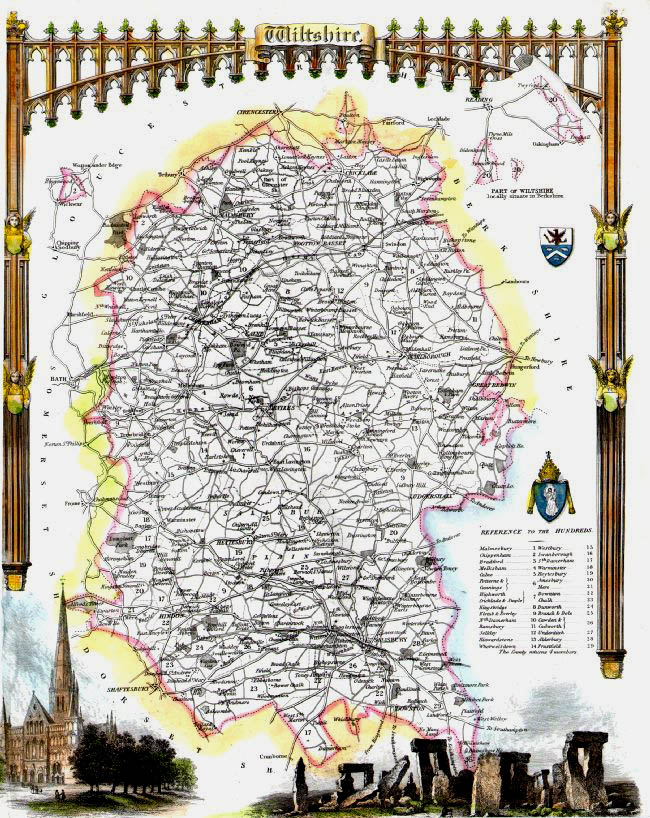 |
Wiltshire Thomas
Moule c1845 size: 210 x 270 mm Inset views of Stonehenge and Salisbury Cathedral Trimmed lower margin Ref IFM086 £30.00 (+P&P) click image for enlargement |
 |
Wiltshire Leigh
1837
size: 80 x 130 mm Antique Map Ref GGM039 £14.00 (+P&P) click image for enlargement |
 |
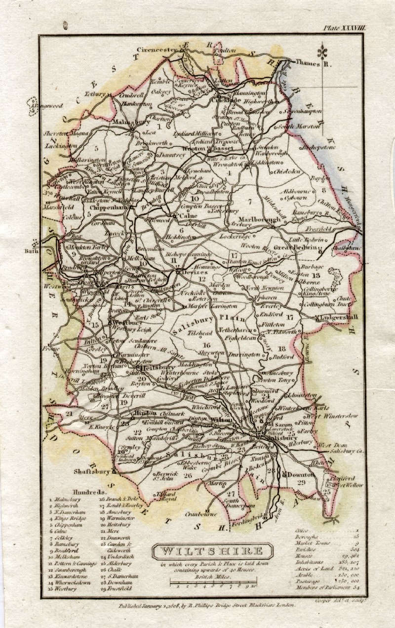
Wiltshire
Archer
c1840 size:250 x 180 mm Antique Map Ref GIM009 £12.00 (+P&P) click image for enlargement |
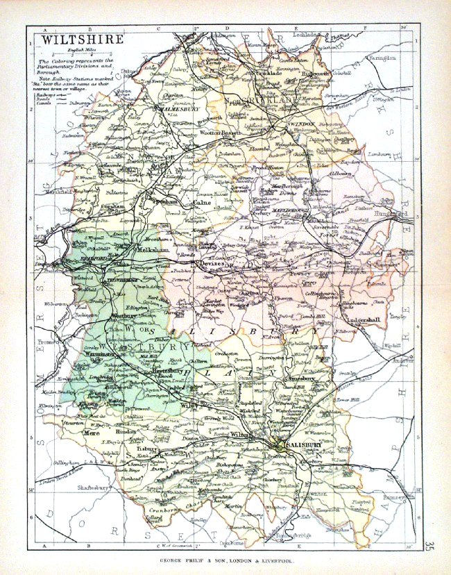 |
Wiltshire George Philip
1898 Colouring represents the Parliamentary Divisions and Boroughs size: 220 x 180 mm, centre fold, original printed colour Antique Map Ref HHM040 £12.00 (+P&P) click image for enlargement |
 |
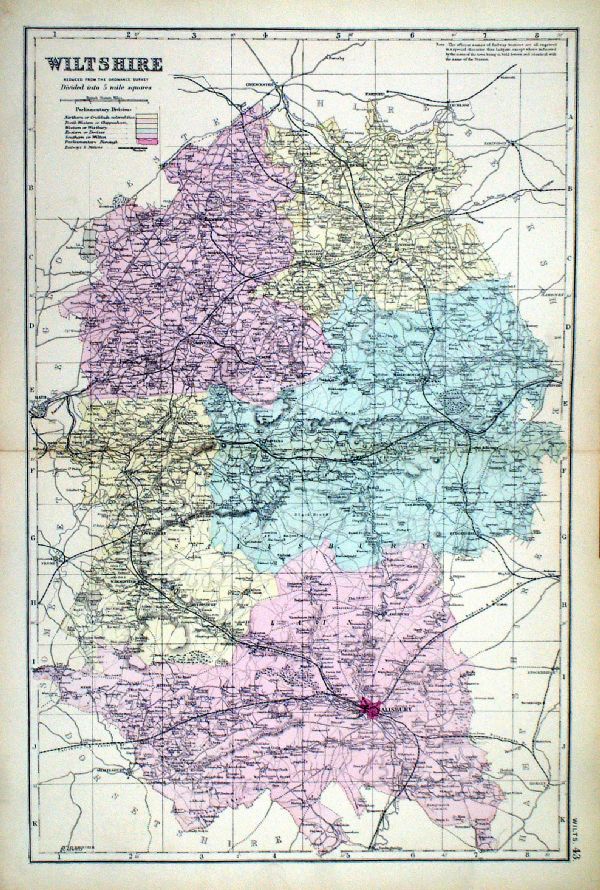
Wiltshire Bacon
c1883 size: 460 x 310 mm, double page, centre fold Coloured to represent Parliamentary Divisions. This series of Bacon maps contains great detail and is very popular with historians. Ref FLM129 £15.00 (+P&P) click image for enlargement |
 |
Wiltshire From the New Large Scale Atlas of the British Isles by G.W. Bacon 1892 size: 330 x 480 mm, centre fold Coloured to represent Parliamentary Divisions. Ref LHM113 £15.00 (+P&P) Detail click image for enlargement |
| Link to Wiltshire Prints Maps of rivers through Wiltshire may be at UK - Rivers | |
Worcs |
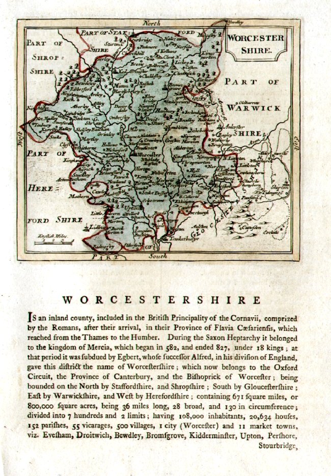
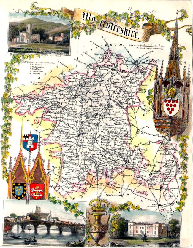
Worcestershire |
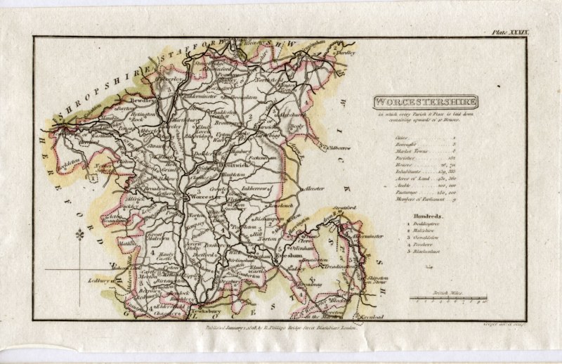 |
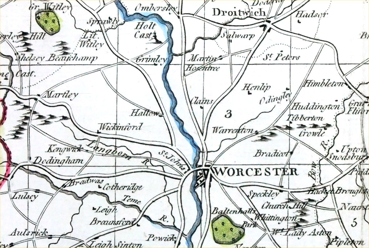
Worcestershire
Capper
1808 Engraved
by
Cooper for Benjamin Pitts Capper Size: 190 x 120 mm Antique Map Ref GDM217 £18.00 (+P&P) click image for enlargement |
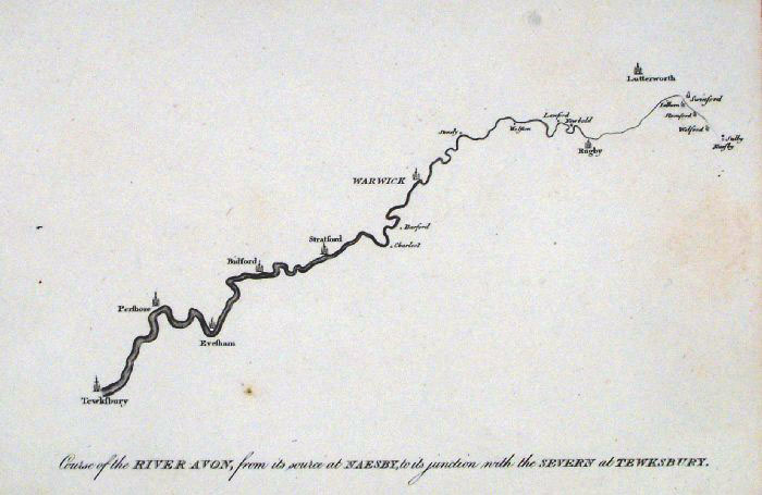 |
Warwickshire / Worcestershire Course of the
River
Avon anon c1800 size: 210 x 150 mm Antique Map Ref GAM012 £25.00 (+P&P) click image for enlargement |
 |
Worcestershire Seller-
Grose
1787 size: 150 x
120 mm Antique Map Ref ELM037 £26.00 (+P&P) click image for enlargement |
 |
Worcestershire Owen & Bowen from 'Britannia Depicta' - Page 151 Copper Engraving 1759 size: 130 x 190 mm Antique Map Ref GDM076 £26.00 (+P&P) click image for enlargement |
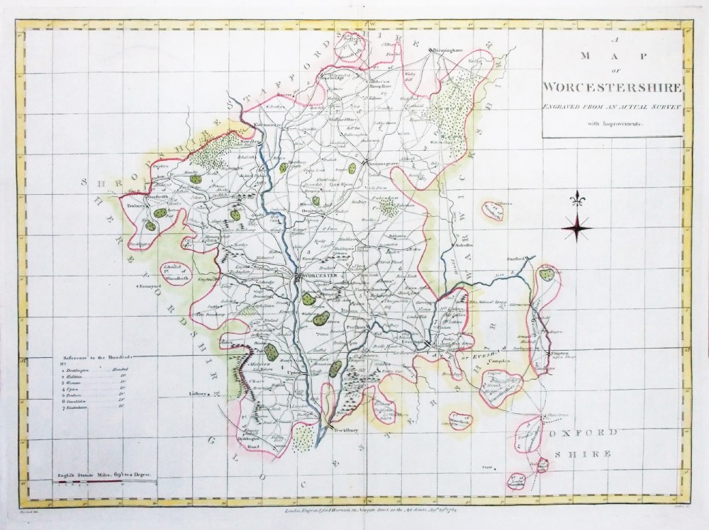 |
Worcestershire
Harrison
1789 Drawn:
Heywood Engraved: Sudlow Copper engraving size: 470 x 350 mm Detail Ref PGM021 £35.00 (+P&P) click image for enlargement |
 |
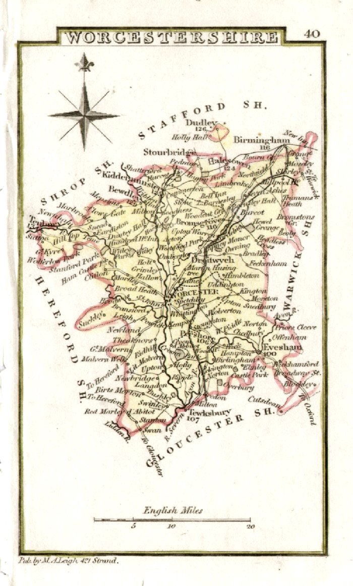
Worcestershire
Lewis 1831 size:
240
x 190 mm Antique Map Ref FLM061 £22.00 (+P&P) click image for enlargement |
 |
Worcestershire Aiken
c1790
size: 180 x 110
mm Antique Map Ref AAM036 £18.00 (+P&P) click image for enlargement |
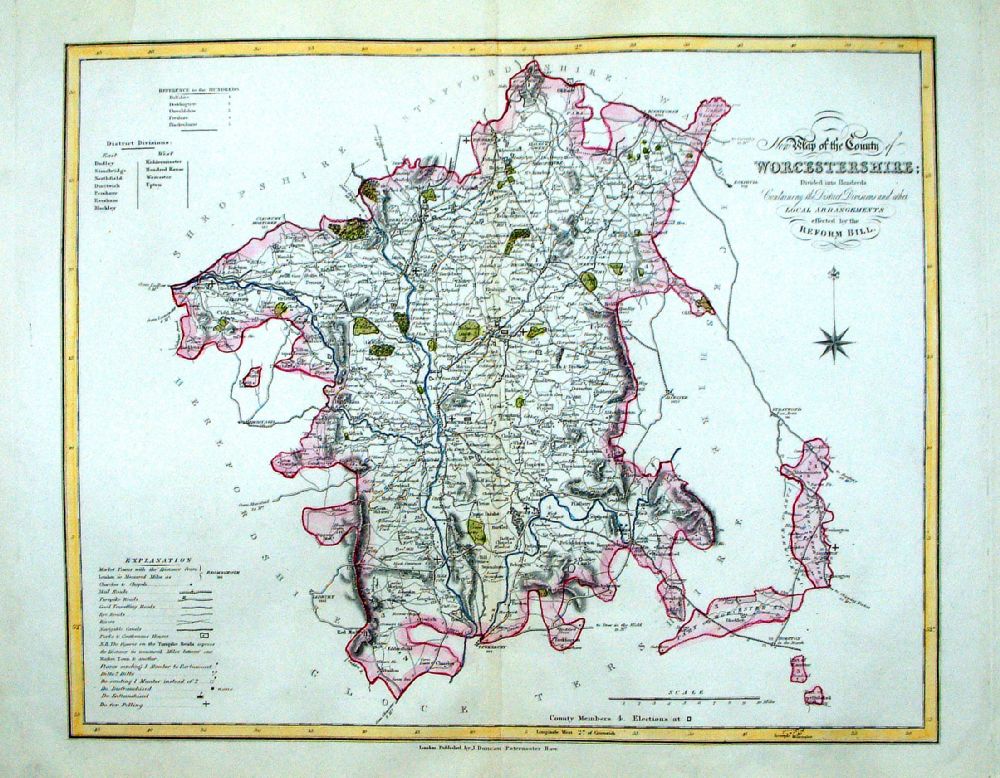 |
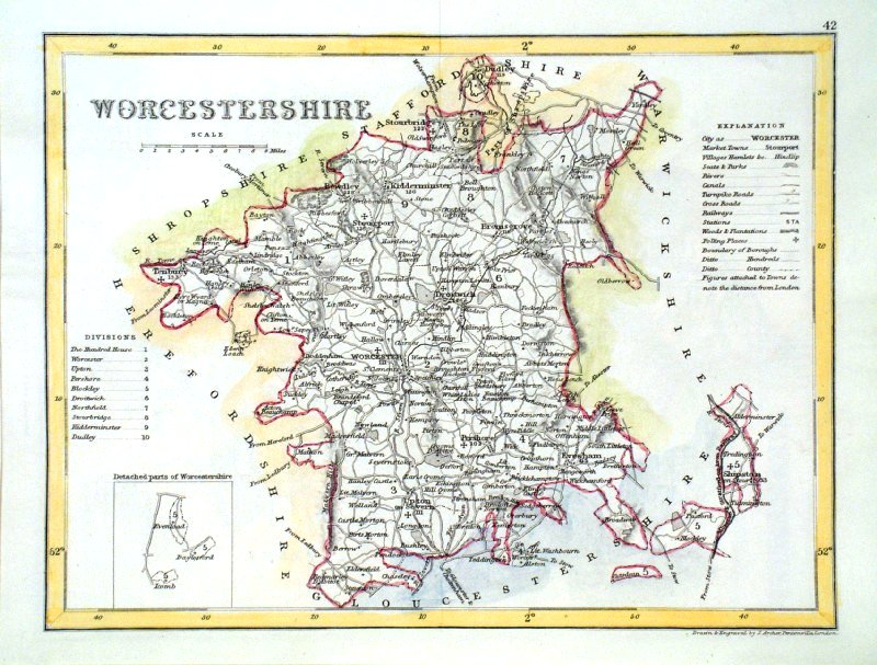
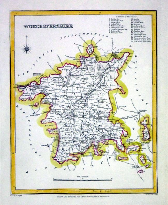
Worcestershire
J. Duncan 1833 "Map of the County of Worcestershire Divided into Hundreds Containing the District Divisions and other local arrangements effected by the Reform Bill" size: 460 x 370 mm, centre fold. Detail a few faint creases, repair to tear at top margin Ref LEM044 £22.00 (+P&P) click image for enlargement- apologies for optical distortion caused during photography. |
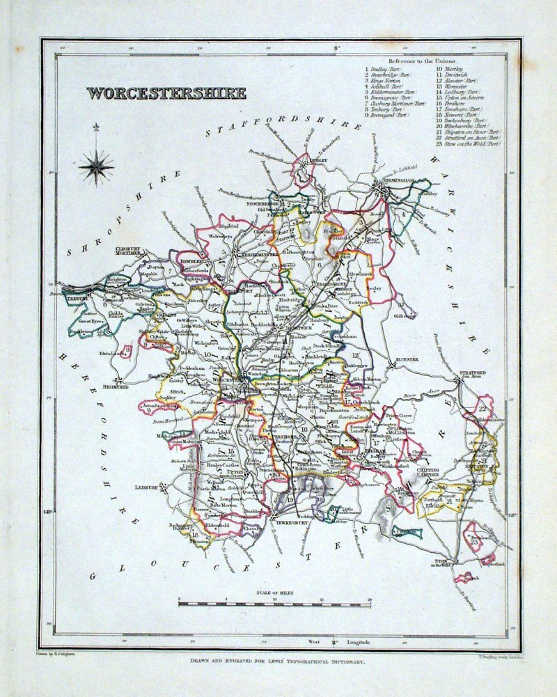 |
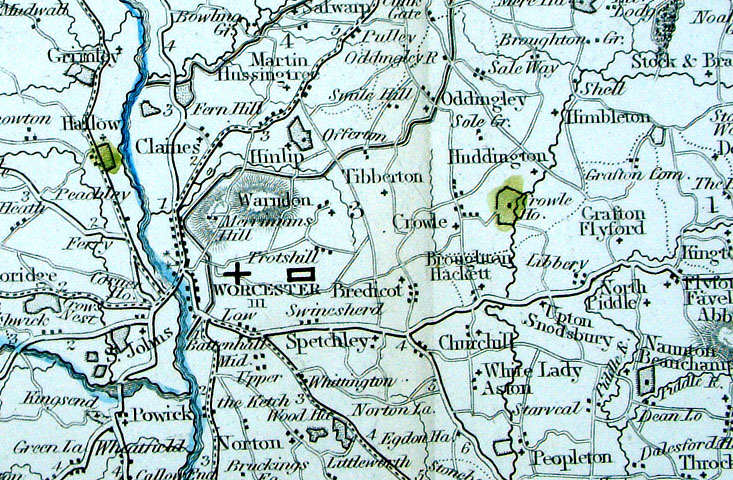
Worcestershire Lewis
c1842
size: 250 x 190 mm Ref GHM122 £16.00 (+P&P) a few faint foxing spots, Original hand colour Ref NAM041 £16.00 (+P&P) Typical detail expected from this series of Lewis maps - D1, D2, D3 Details are not specifically from the map shown here. click image for enlargement |
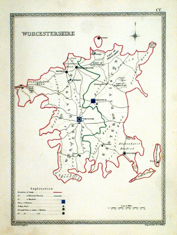 |
Worcestershire
Depicting electoral divisions and polling places. Samuel Lewis 1835 engraved by J & C Walker Steel engraving Size: 200 x 250 mm, Original colouring of boundaries. Antique Map Ref KJM105 £16.00 (+P&P) click image for enlargement |
 |
Worcestershire Leigh
1837
size: 80 x 130 mm Antique Map Ref GGM040 £14.00 (+P&P) click image for enlargement |
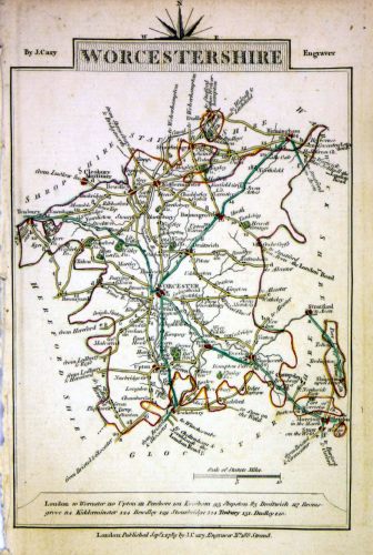 |
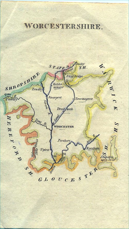
Worcestershire
Cary 1789 size: 155 x 105 mm, tight left (west) margin Ref MLM012 £18.00 (+P&P) click image for enlargement |
 |
Worcestershire
Pinnock
1833 size: 180 x 250 mm Ref MKM010 £18.00 (+P&P) click image for enlargement |
 |
Worcestershire
Archer
c1840 size:250 x 180 mm Antique Map Ref GIM010 £12.00 (+P&P) click image for enlargement |
 |
Worcestershire
Thomas
Moule c1845 size: 210 x 270 mm Trimmed lower margin. Printed slightly clockwise on the page. Ref IFM087 £20.00 (+P&P) click image for enlargement |
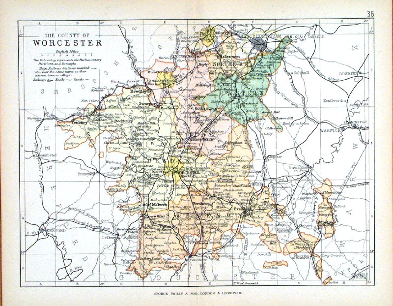 |
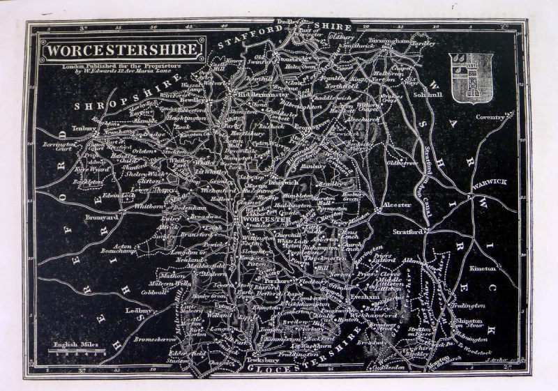
Worcester George Philip
1898 Colouring represents the Parliamentary Divisions and Boroughs size: 220 x 180 mm, centre fold, original printed colour Antique Map Ref HHM041 £12.00 (+P&P) click image for enlargement |
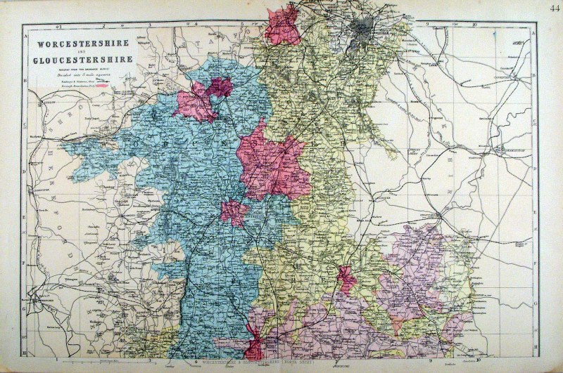 |
Worcestershire and Gloucestershire (North
Division) Bacon c1883 size: 460 x 310 mm, double page, centre fold This series of Bacon maps contains great detail and is very popular with historians. Ref FLM130 £15.00 (+P&P) click image for enlargement |
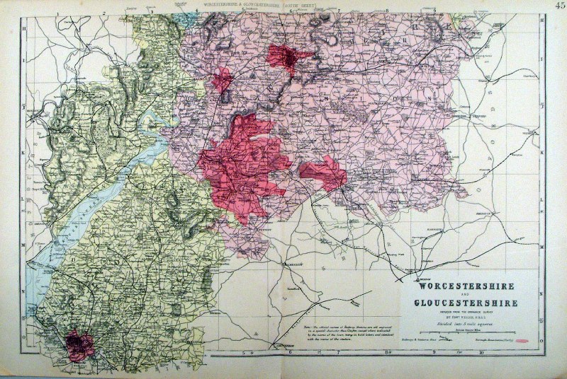 |
Worcestershire and Gloucestershire (South
Division) Bacon c1883 size: 460 x 310 mm, double page, centre fold This series of Bacon maps contains great detail and is very popular with historians. Ref FLM131 £15.00 (+P&P) click image for enlargement |
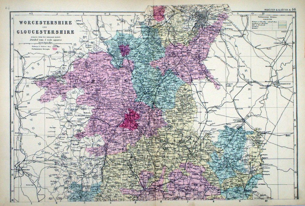 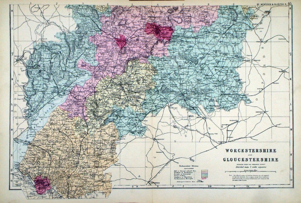 |
Worcestershire and
Gloucestershire in 2 sheets From the New Large Scale Atlas of the British Isles by G.W. Bacon 1892 each sheet - size: 480 x 330 mm, centre fold Coloured to represent Parliamentary Divisions. Ref LHM112 (2 sheets - will not split) £25.00 (+P&P) Detail Detail click image for enlargement |
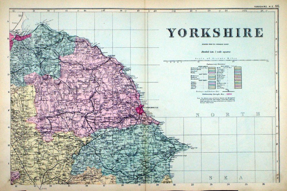
Yorkshire |
Link
to Worcestershire Prints Yorkshire |
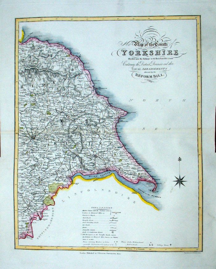 |
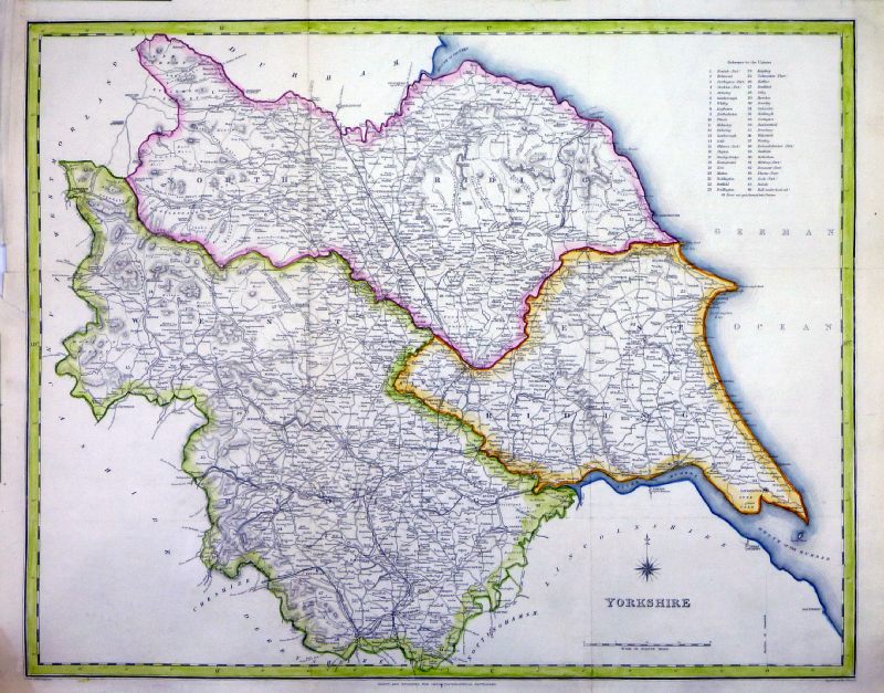
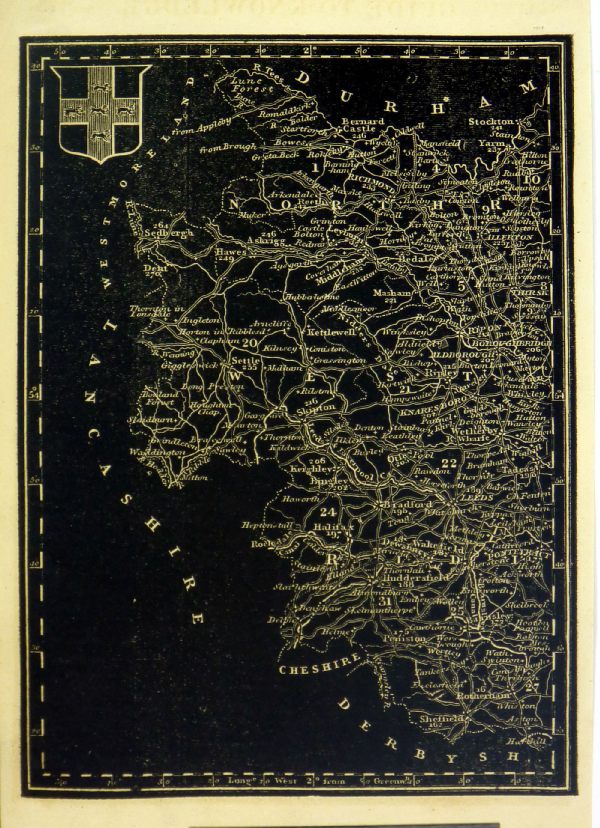
Yorkshire
J. Duncan 1833 "Map of the County of Yorkshire Divided into Its Ridings with their sub divisions Containing the District Divisions and other local arrangements effected by the Reform Bill" Two sheets. Both: size: 370 x 460 mm, centre fold. West Yorkshire Detail a few faint creases East Yorkshire Ref LEM062 West Yorkshire Ref LEM063 LEM062 + LEM063 as a pair £40.00 (+P&P) click image for enlargement- apologies for optical distortion caused during photography |
 |
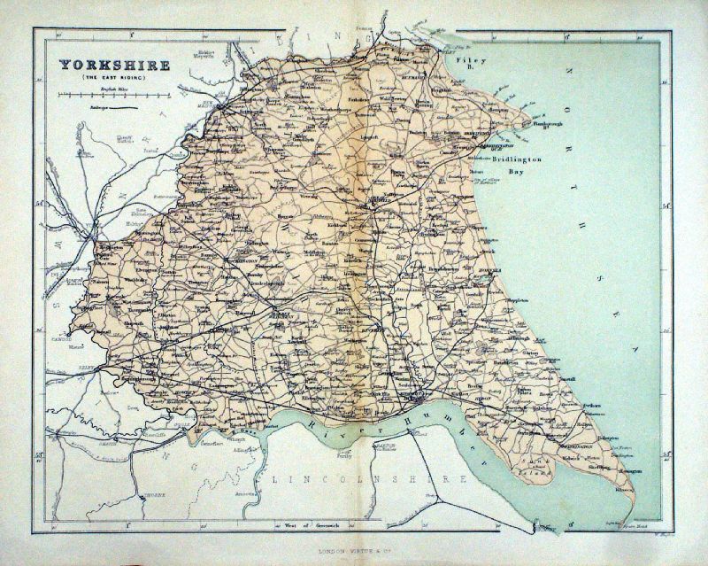
Yorkshire, East Riding
Thomas
Moule c1845 size: 260 x 200 mm, trimmed left margin Ref IFM090 £35.00 (+P&P) click image for enlargement |
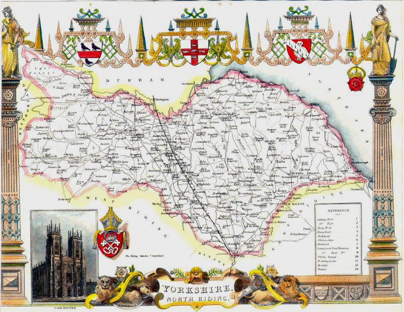 |
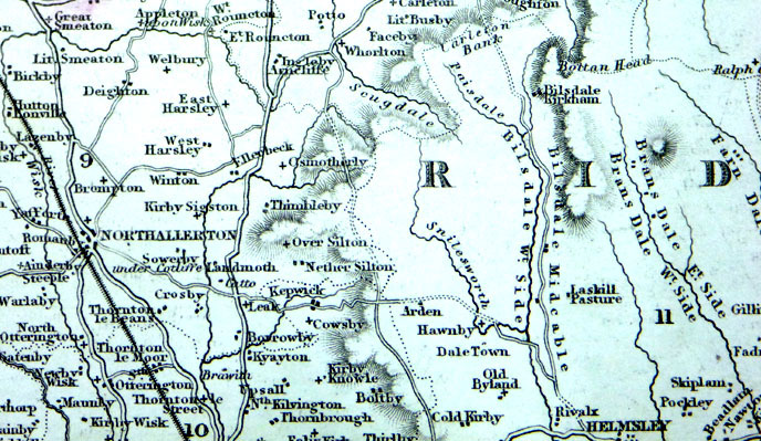
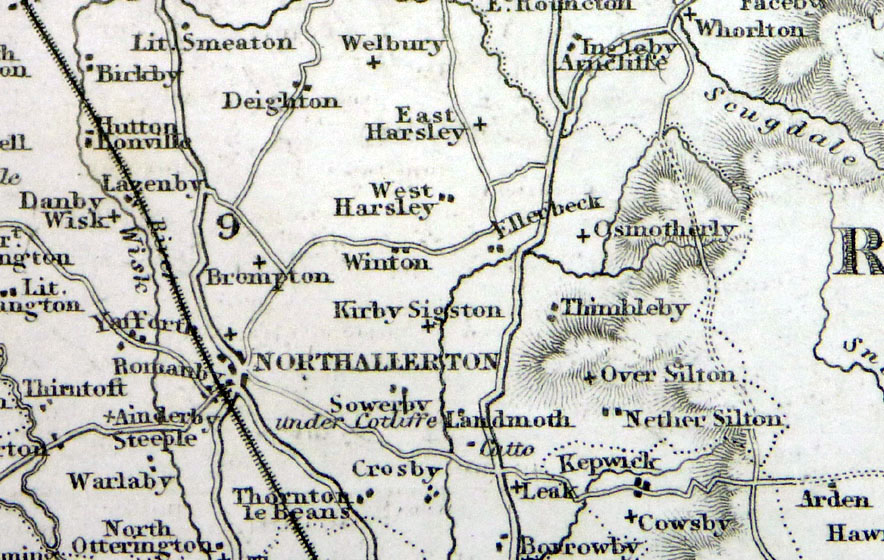
Yorkshire, North Riding
Thomas
Moule c1845 size: 260 x 200 mm, trimmed left margin Ref IFM088 £35.00 (+P&P) click image for enlargement |
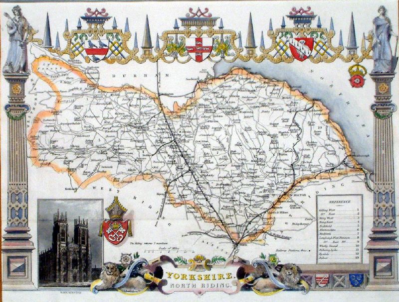 |
Yorkshire, North Riding
Thomas
Moule c1875 From Hume & Smollett's History of England - map state as 1850s size: 260 x 200 mm, tight left margin, single fold Ref JLM017 £35.00 (+P&P) click image for enlargement |
|
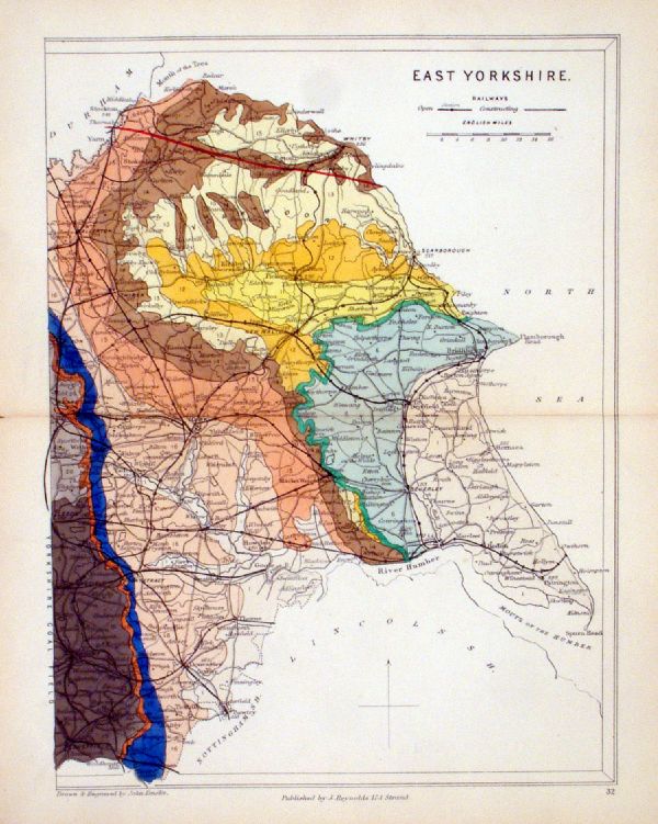
East Yorkshire Geological map Reynolds / Emslie c1860 First Edition size: 200 x 250mm, centre fold, very slight discolouration at fold. Original hand colouring of geological structure - Colour Reference Key - click here Antique Map Ref KLM032 £24.00 (+P&P) click image for enlargement |
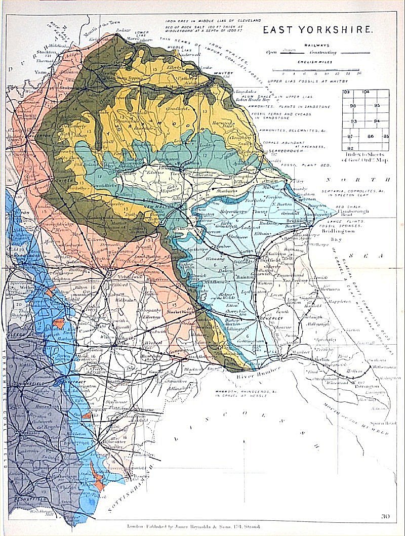 |
East Yorkshire
Geological map James Reynolds 1889 Second Edition (new map, additional data, side notes, different colouring) size: 185 x 250mm, centre fold, very slight discolouration at fold. Original hand colouring of geological structure - Colour Reference Key - click here Antique Map Ref RAM031 £24.00 (+P&P) click image for enlargement |
|
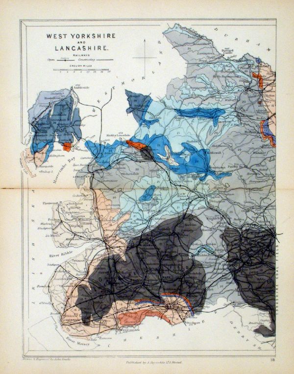
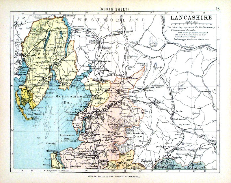
West Yorkshire and Lancashire
Geological map Reynolds / Emslie c1860 First Edition size: 200 x 250mm, centre fold, very slight discolouration at fold. Original hand colouring of geological structure - Colour Reference Key - click here Antique Map Ref KLM018 £24.00 (+P&P) click image for enlargement |
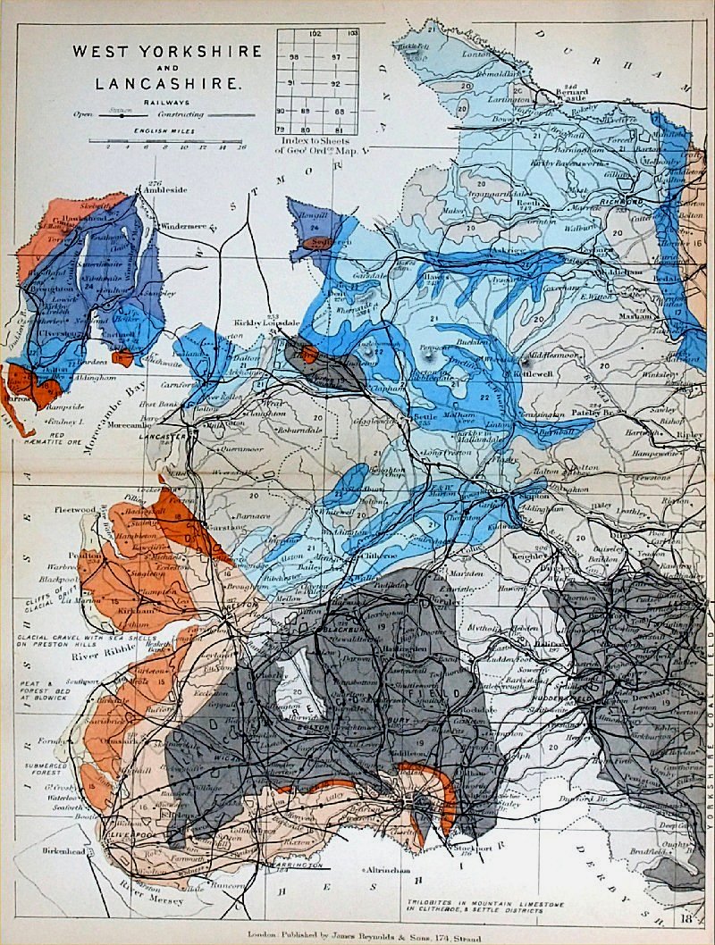 |
West Yorkshire and
Lancashire Geological
map James Reynolds 1889 Second Edition (new map, additional data, side notes, different colouring) size: 185 x 250mm, centre fold, very slight discolouration at fold. Original hand colouring of geological structure - Colour Reference Key - click here Antique Map Ref RAM022 £24.00 (+P&P) click image for enlargement |
 |
Yorkshire
Hughes / Virtue
The National Gazetteer 1868 size: 320 x 260 mm, centre fold, a few light creases Ref LGM008 £15.00 (+P&P) click image for enlargement |
 |
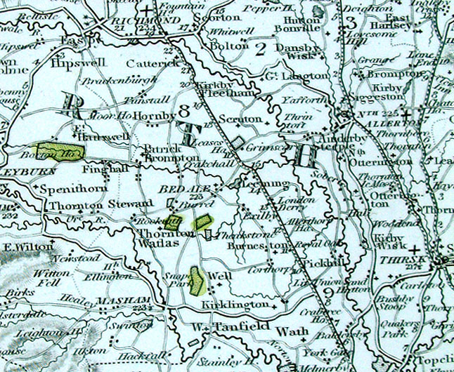
Yorkshire
Lewis c1842 size: 520 x 410 mm, several folds, a few repears ar margins Ref NAM042 £25.00 (+P&P) Detail 1 Detail 2 Detail 3 Detail 4 click image for enlargement |
 |
Untitled
West Yorkshire Pinnock
1833 size: 180 x 250 mm Ref MKM007 £20.00 (+P&P) click image for enlargement |
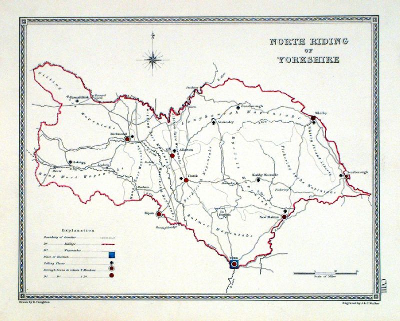 |
North Riding of Yorkshire
Depicting electoral divisions and polling places.
Samuel Lewis 1835 engraved by J & C Walker Steel engraving Size: 250 x 200 mm, Original colouring of boundaries. Antique Map Ref KJM108 £16.00 (+P&P) click image for enlargement |
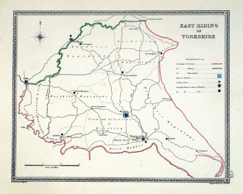 |
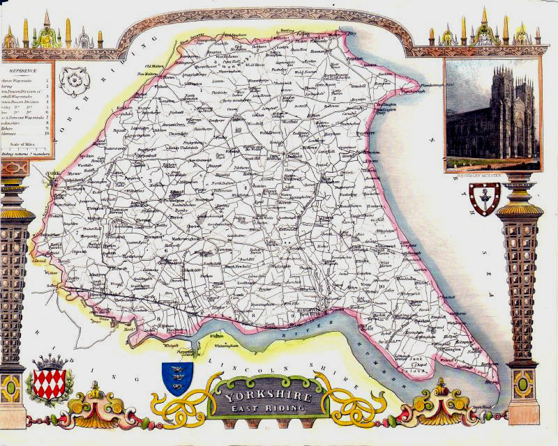
East Riding of Yorkshire
Depicting electoral divisions and polling places.
Samuel Lewis 1835 engraved by J & C Walker Steel engraving Size: 250 x 200 mm, Original colouring of boundaries. Antique Map Ref KJM109 £16.00 (+P&P) click image for enlargement |
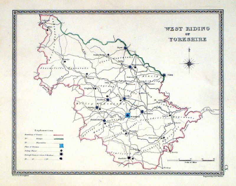 |
West Riding of Yorkshire
Depicting electoral divisions and polling places.
Samuel Lewis 1835 engraved by J & C Walker Steel engraving Size: 250 x 200 mm, Original colouring of boundaries. Antique Map Ref KJM110 £16.00 (+P&P) click image for enlargement |
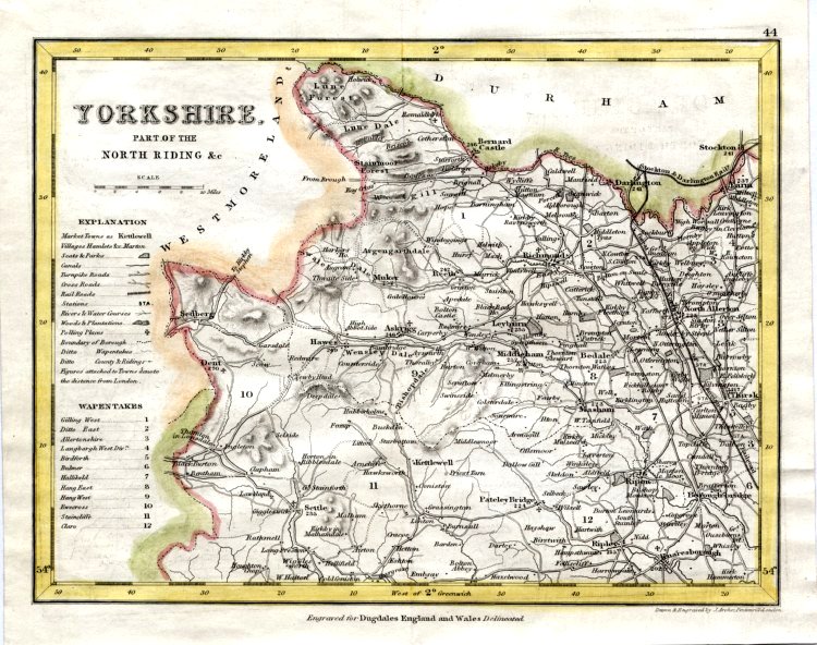 |
Yorkshire - Part of North Riding
Archer c1840
size:250 x 180 mm Antique Map Ref GIM004 £12.00 (+P&P) click image for enlargement |
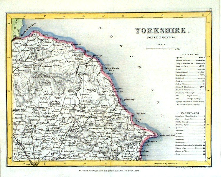 |
Yorkshire - North Riding
Archer c1840
size:250 x 180 mm Antique Map Ref GIM005 £12.00 (+P&P) click image for enlargement |
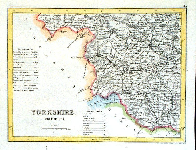 |
Yorkshire - West Riding
Archer c1840
size:250 x 180 mm Antique Map Ref GIM006 £12.00 (+P&P) click image for enlargement |
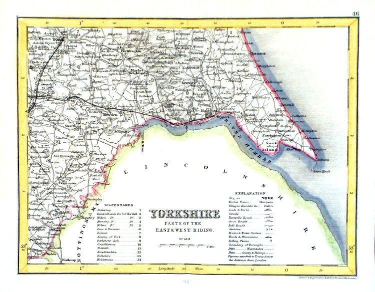 |
Yorkshire - Parts of East & West Riding
Archer c1840
size:250 x 180 mm Antique Map Ref GIM007 £12.00 (+P&P) click image for enlargement |
 |
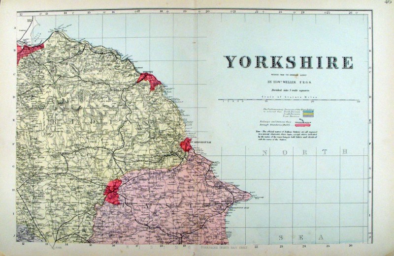
Yorkshire ( North & East Ridings)
George Philip 1898 Colouring represents the Parliamentary Divisions and Boroughs size: 220 x 180 mm, centre fold, original printed colour Antique Map Ref HHM042 £12.00 (+P&P) click image for enlargement |
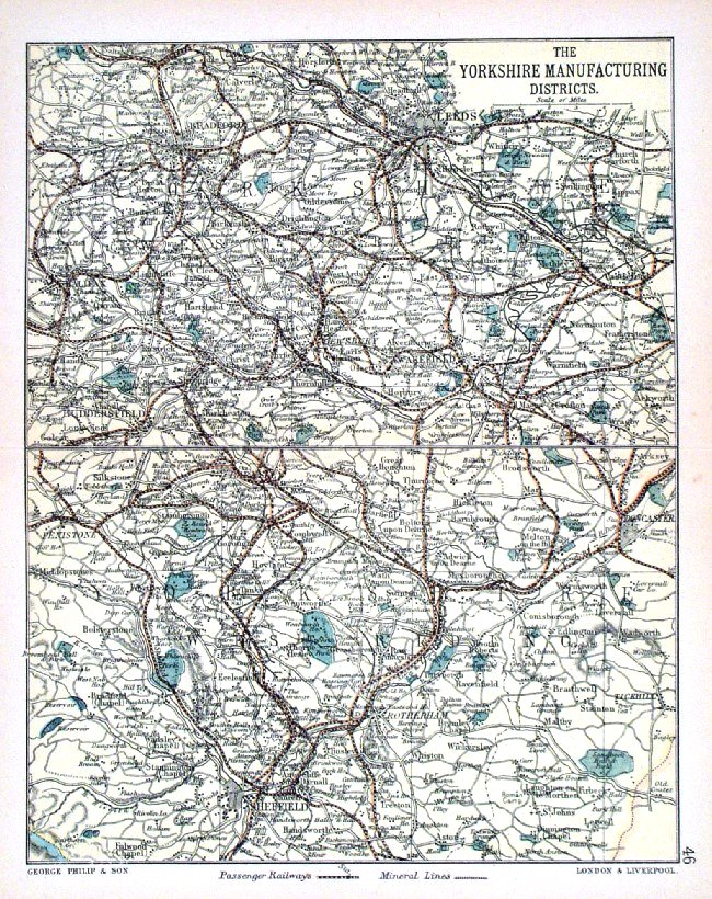 |
Yorkshire Manufacturing Districts
George Philip 1898 Colouring represents the Parliamentary Divisions and Boroughs size: 180 x 220 mm, centre fold, original printed colour Antique Map Ref HHM051 £12.00 (+P&P) click image for enlargement |
 |
Yorkshire - NE
Bacon c1883 size: 460 x 310 mm, double page, centre fold This series of Bacon maps contains great detail and is very popular with historians. Ref FLM132 £15.00 (+P&P) click image for enlargement |
 |
Yorkshire - NW
Bacon c1883 size: 460 x 310 mm, double page, centre fold This series of Bacon maps contains great detail and is very popular with historians. Ref FLM133 £15.00 (+P&P) click image for enlargement |
 |
Yorkshire - SE
Bacon c1883 size: 460 x 310 mm, double page, centre fold This series of Bacon maps contains great detail and is very popular with historians. Ref FLM134 £15.00 (+P&P) click image for enlargement |
 |
Yorkshire - SW
Bacon c1883 size: 460 x 310 mm, double page, centre fold This series of Bacon maps contains great detail and is very popular with historians. Ref FLM135 £15.00 (+P&P) click image for enlargement |
 |
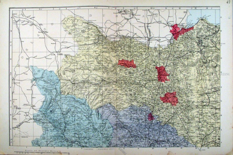
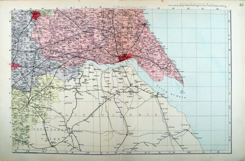
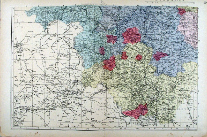
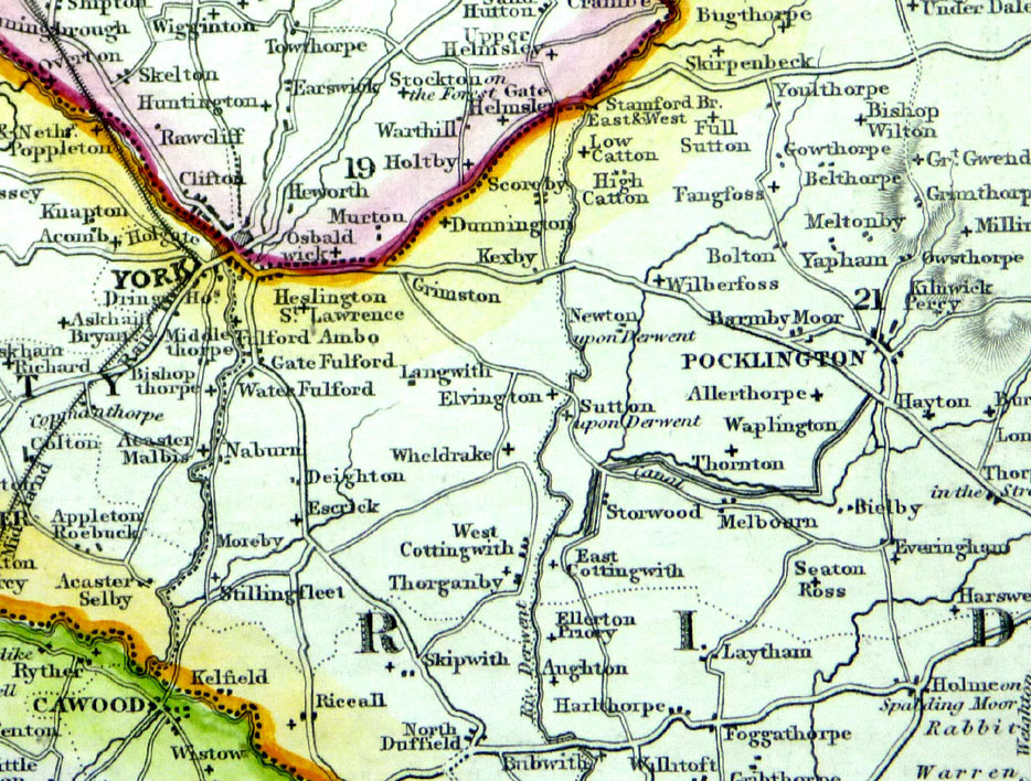
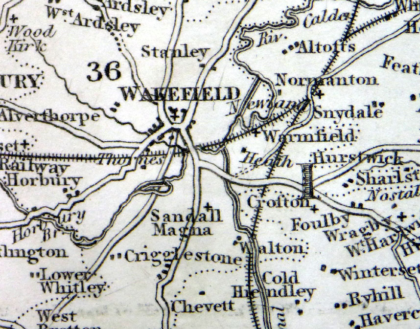
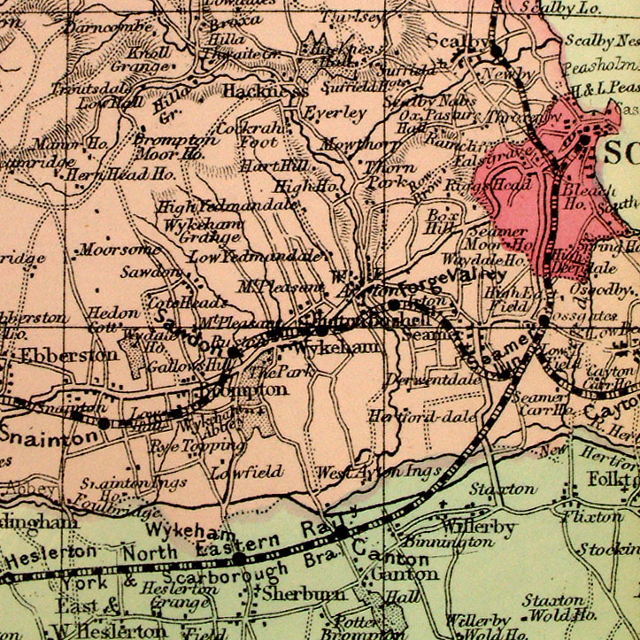
Yorkshire
in 4 sheets - NE (illustrated), NE, SE, SW. From the New Large Scale Atlas of the British Isles by G.W. Bacon 1892 eash sheet - size: 480 x 330 mm, centre fold. Coloured to represent Parliamentary Divisions. Ref LHM111 (all 4 sheets - will not split) £40.00 (+P&P) Detail click image for enlargement |
| All Genuine Antiquarian
Maps - No Reproductions or Modern Copies Link to Yorkshire Prints |
2023