Past Pages
Antique Maps, Prints and Ephemera
Antique Maps of England, Wales, Scotland & Islands
Excluding English Counties, regional maps and town plans.Arranged alphabetically by British Isles, Islands, Scotland, and Wales
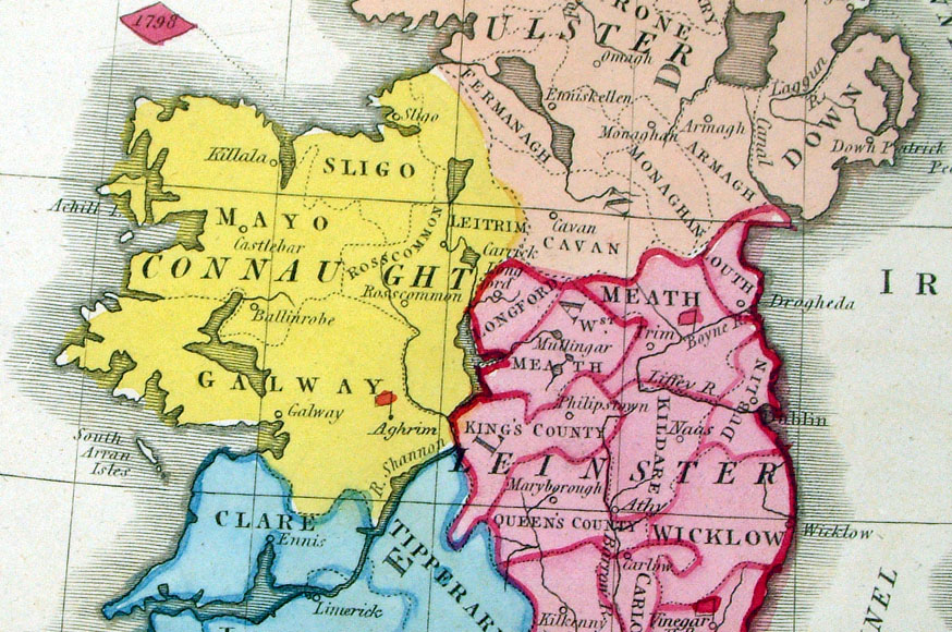
Ireland is in the Maps - Europe Section.
For local interest also see Town Plans and Road Maps sections - Click here for more Info.
British Isles / United Kingdom / England & Wales
|
|
 |
British Isles
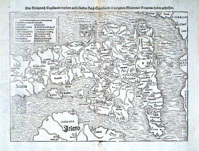
Munster c1580 size: 220 x 340 mm Antique Map Ref AAM061 £200.00 (+P&P) click image for enlargement |
 |
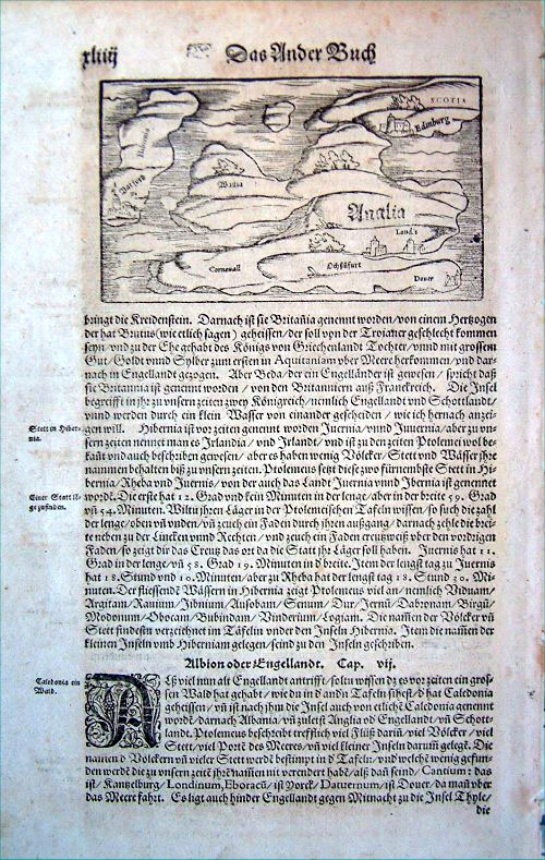
England & Wales (parts of Scotland &
Ireland) Munster c1567 size: 370 x 290 mm, centre fold, tiny split at border on centre fold. Antique Map Ref IDT008 £400.00 (+P&P) Detail click image for enlargement |
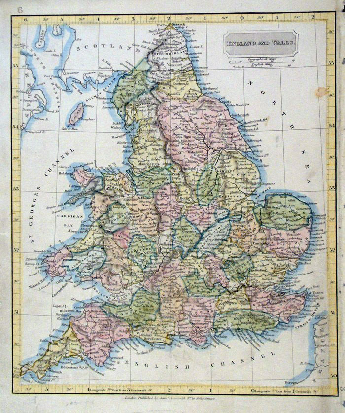 |
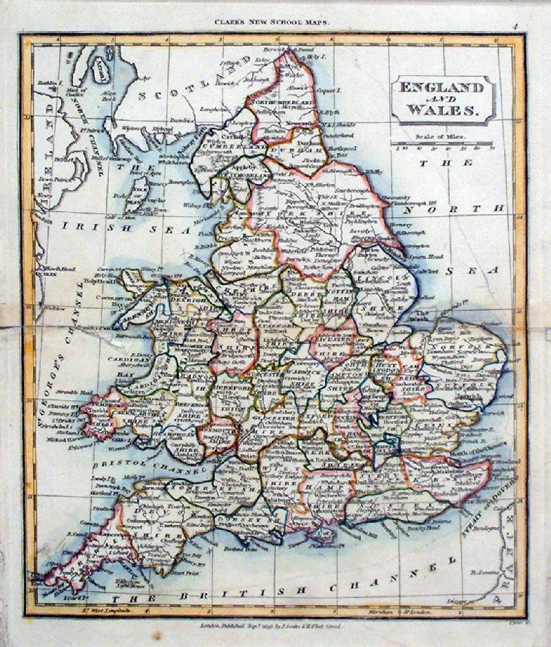
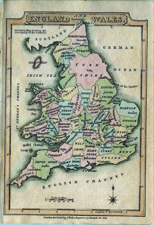
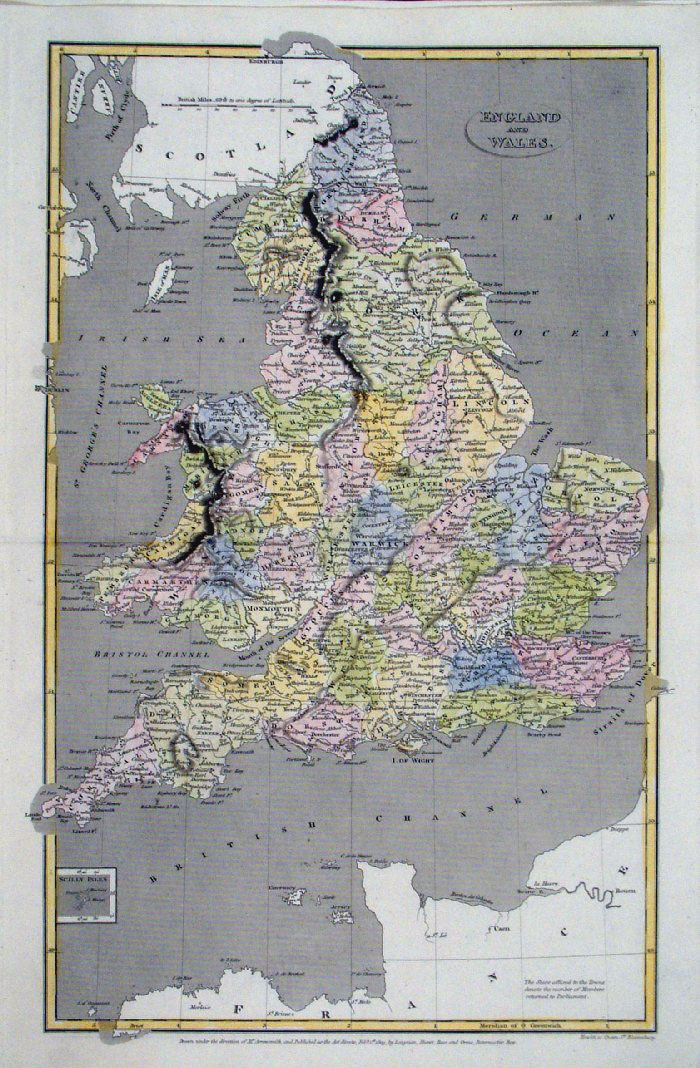
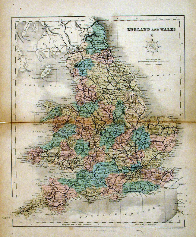
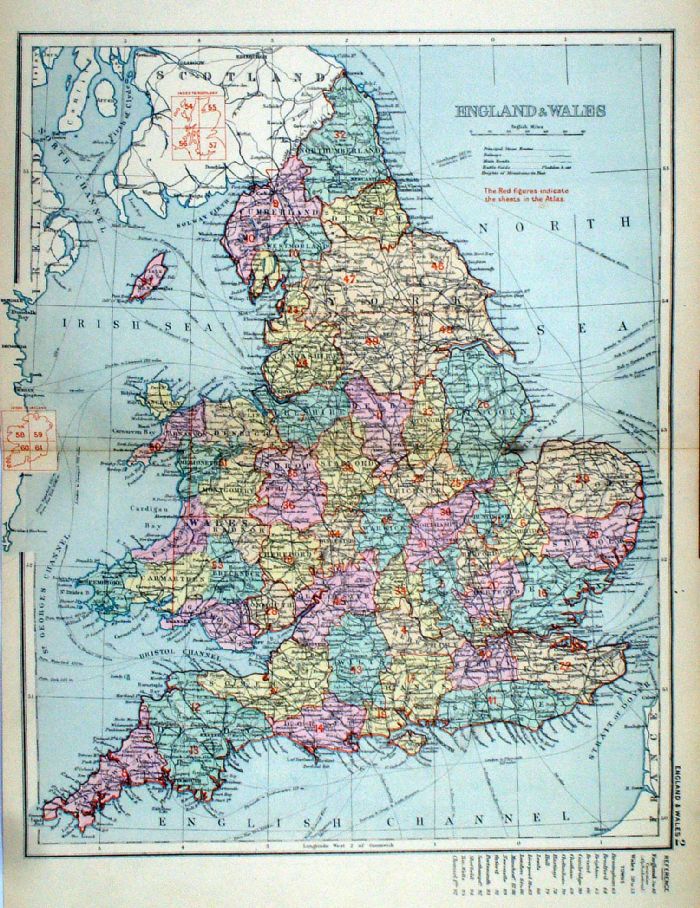
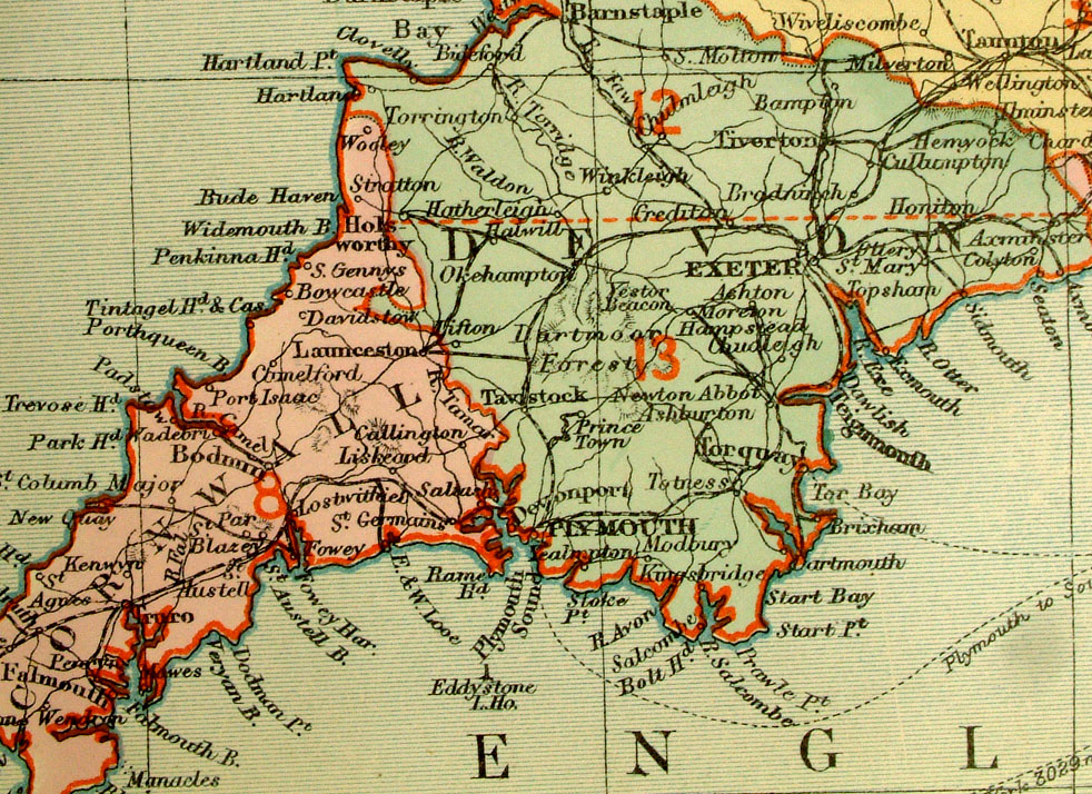
England and Wales
Arrowsmith 1836 size: 220 x 250 mm a few stain spots Antique Map Ref FHM097 £16.00 (+P&P) click image for enlargement |
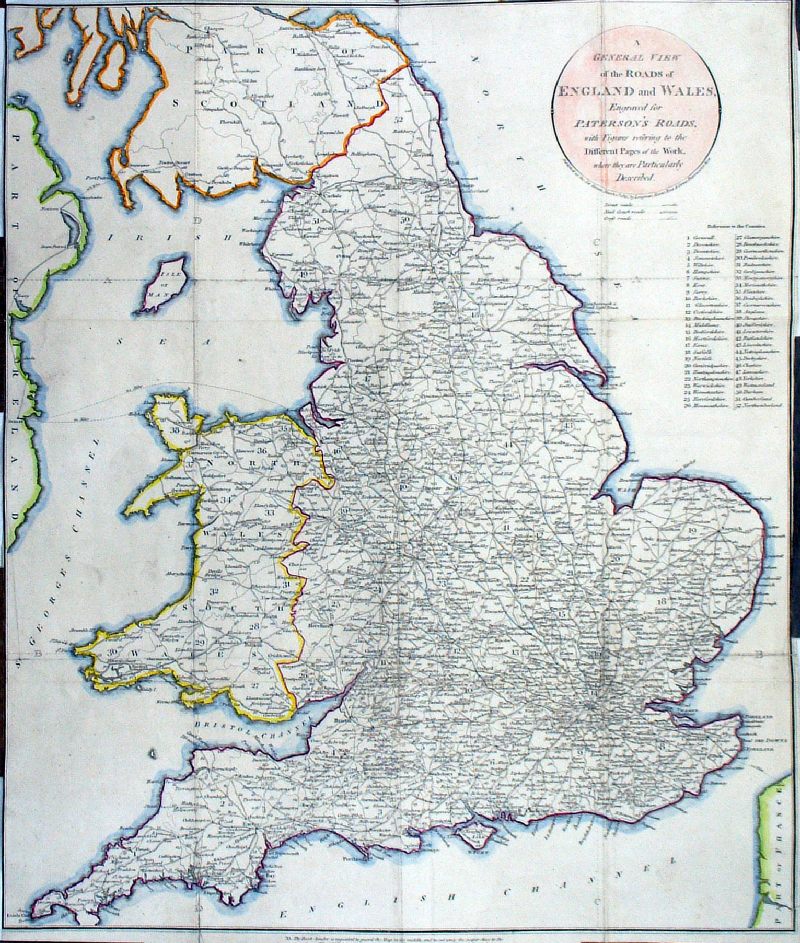 |
A General View of the
Roads of England & Wales, engraved for Paterson's
Roads 1811 Distinguishes Direct Roads, Coach Roads, Cross Roads. Copper engraving. size: 390 x 460 mm, many folds, very tight margins all round. Detail 1 Detail 2 Antique Map Ref MEM001 £30.00 (+P&P) click image for enlargement |
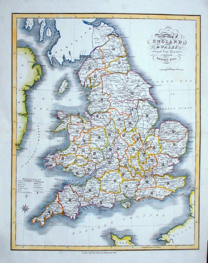 |
England & Wales
J. Duncan 1833 "New Map of England and Wales Shewing the County Representation as effected by the Reform Bill" size: 370 x 460 mm, centre fold. a few faint creases, repair to split at centrefold. Ref LEM050 £35.00 (+P&P) click image for enlargement- apologies for optical distortion caused during photography. |
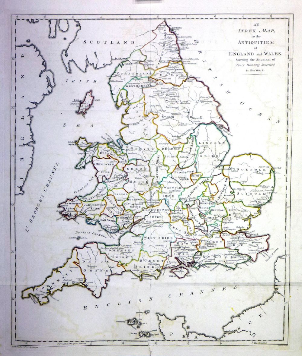 |
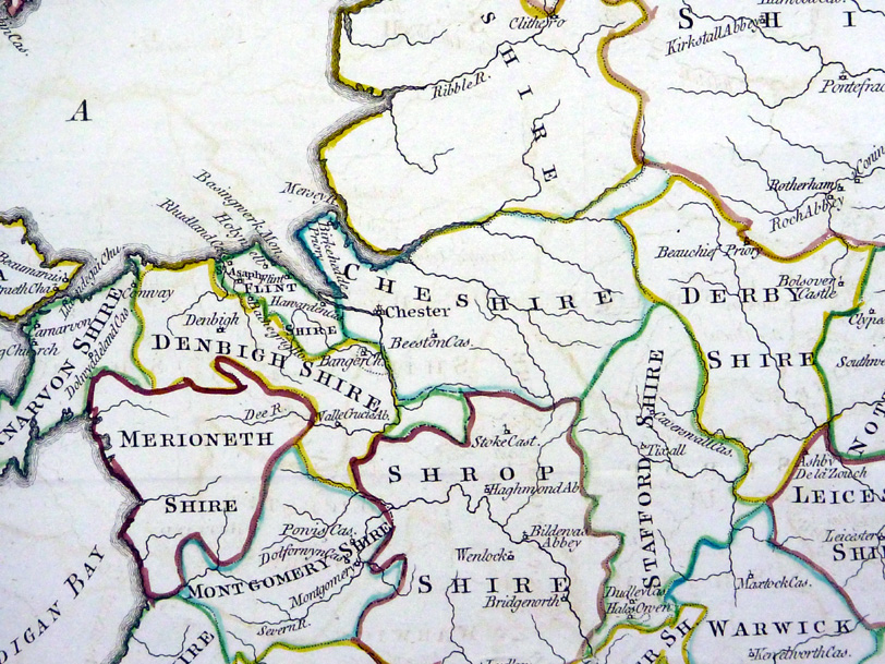
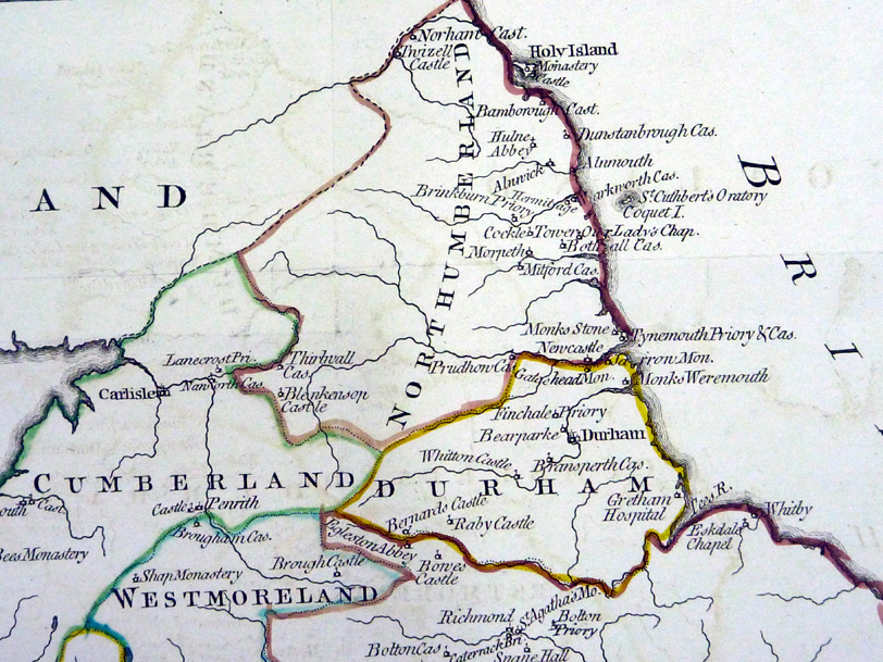
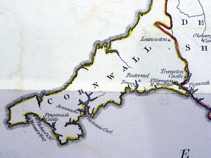
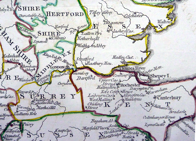
An Index Map to the
Antiquities of England & Wales
Hooper 1787 From 'The Antiquities of England & Wales' by Francis Grose. size: 470 x 560 mm, many folds. Repair to tear at bottom, and repairs to splits at various folds. Not a perfect copy but good as a reference piece. Detail 1 Detail 2 Detail 3 Detail 4 Detail 5 Ref NLM001 £35.00 (+P&P) click image for enlargement- apologies for optical distortion and uneven lighting caused during photography. |
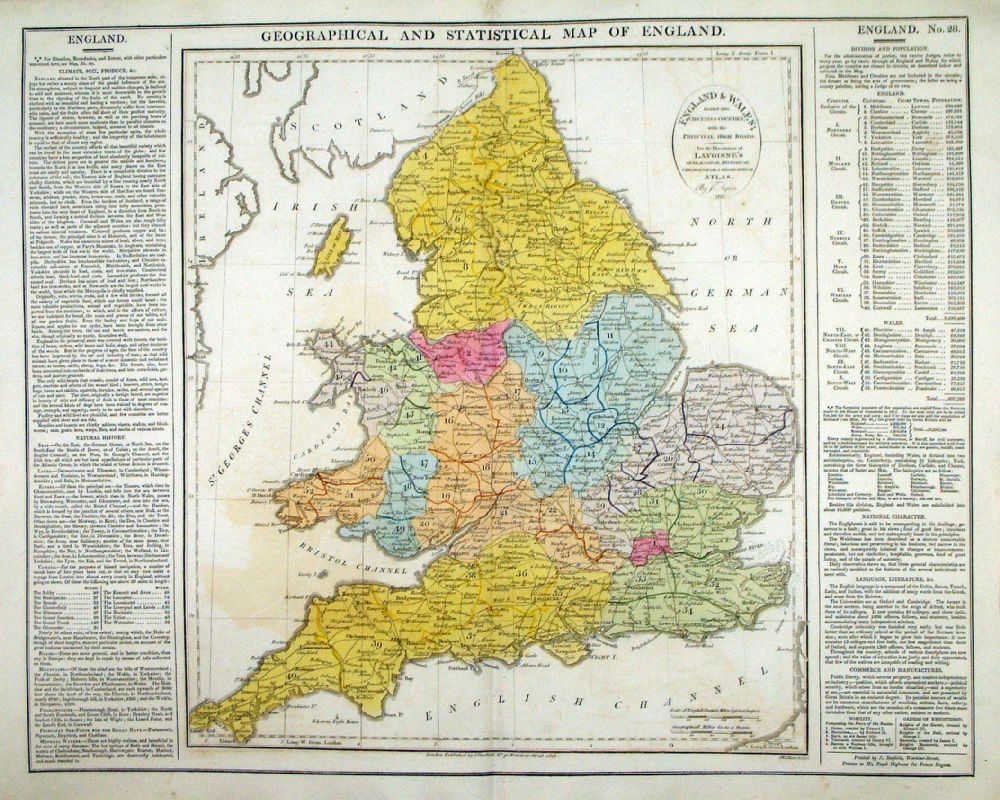 |
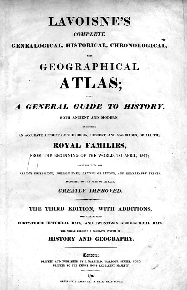
Geographical and
Statistical Map of England Map engraved by J. Walker. Set with statistical data. From Lavoisne's Genealogical, Historical, Chronological and Geographical Atlas 1827 - Title Page For Statistics Tables and Charts from this atlas see Charts and Tables Page Copper engraving page size: 530 x 420 mm, centre fold. Ref LHM031 £40.00 (+P&P) Detail click image for enlargement |
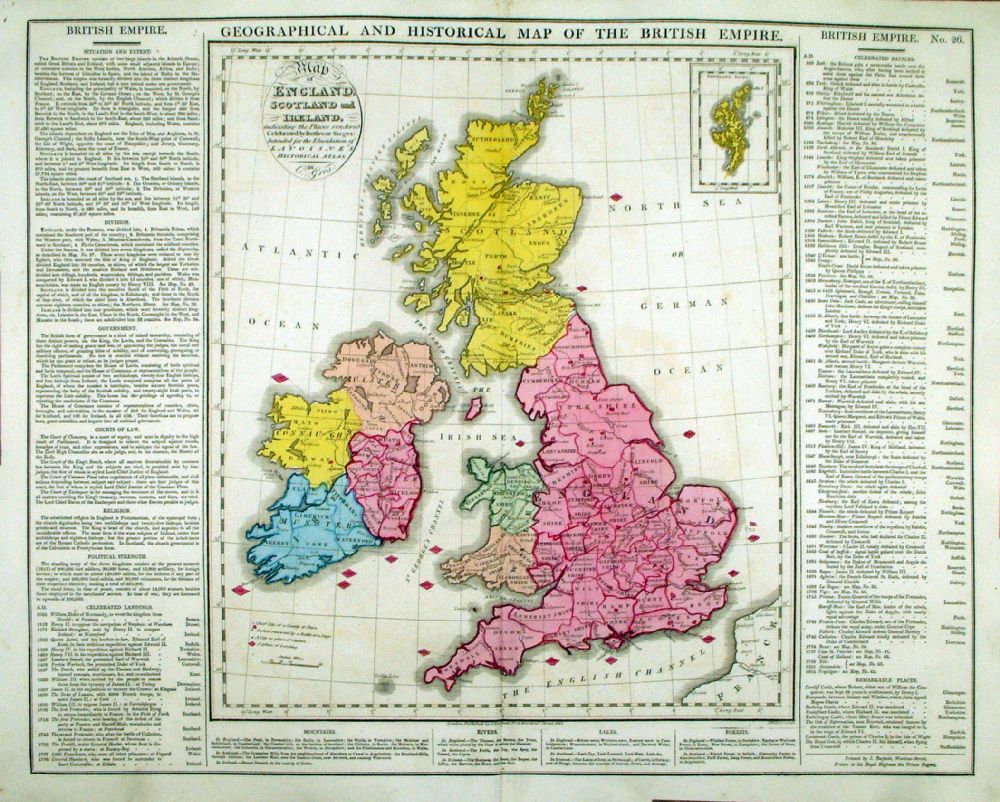 |
Geographical and
Historical Map of the British Empire Map engraved by J. Walker. Set with statistical data. From Lavoisne's Genealogical, Historical, Chronological and Geographical Atlas 1827 - Title Page For Statistics Tables and Charts from this atlas see Charts and Tables Page Copper engraving page size: 530 x 420 mm, centre fold. Ref LHM029 £50.00 (+P&P) Detail 1 Detail 2 click image for enlargement |
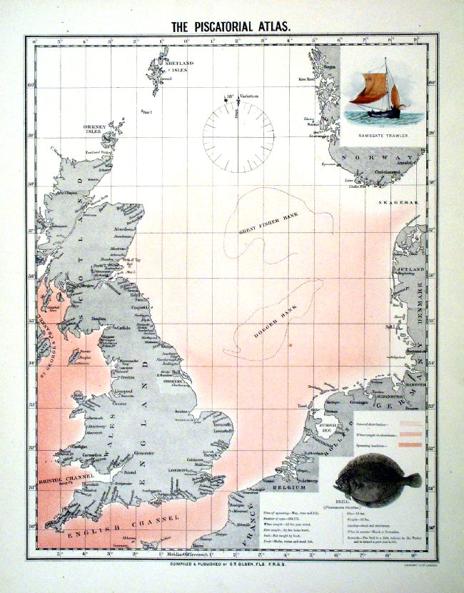 |
Great Britain & the North Sea The Piscatorial Atlas Olsen / Hanhart 1883 Litho size: 400 x 500 mm Hand coloured Ramsgate Trawler vignette Antique Map Ref IDT011 £100.00 (+P&P) Detail click image for enlargement |
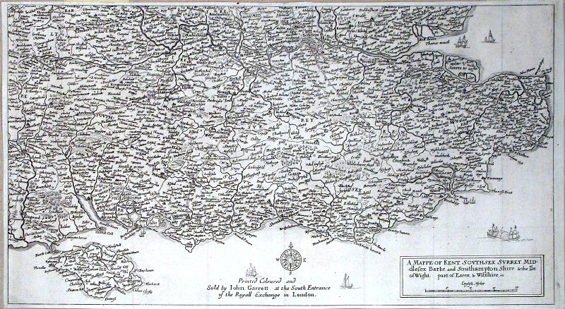 |
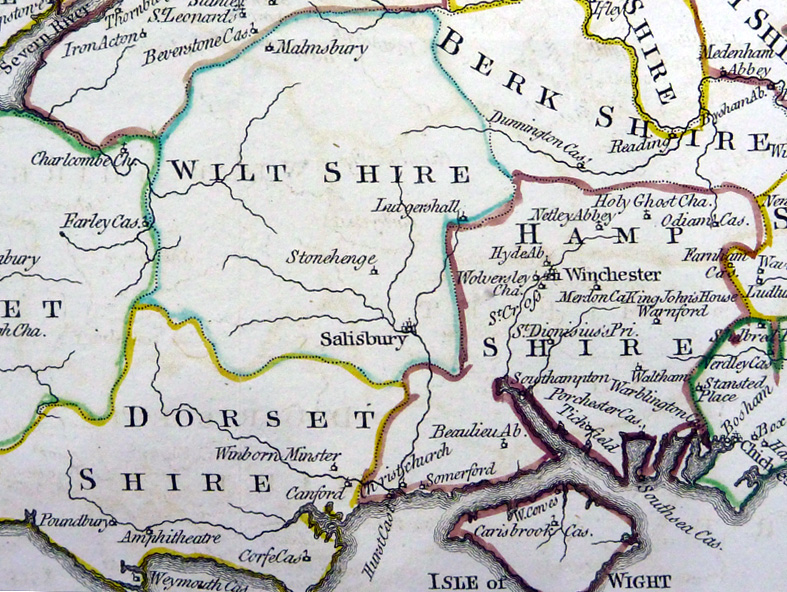
Quartermaster map of South East England 'A Mappe of Kent, Southsex, Surrey, Middlesex, Barke and Southamptonshire & the Ile of Wight, part of Essex and Wiltshire ..' Hollar / Garret 1676 size: 510 x 283 mm, several folds, tight margins ( 3mm) Detail 1 Detail 2 Detail 3 Detail 4 Antique Map Ref IDT012 £400.00 (+P&P) click image for enlargement |
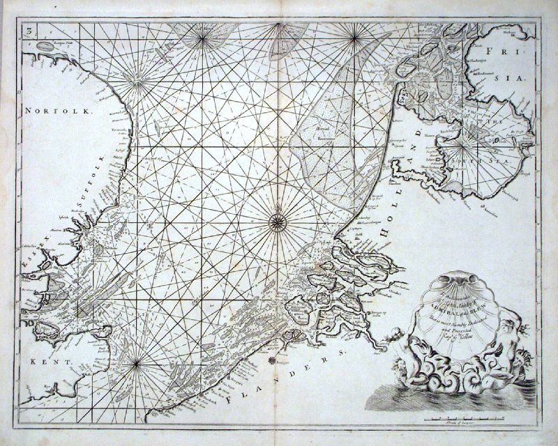 |
E England, North Sea, English Channel, Flanders,
Holland Capt. Greenvile Collins 1693 size: 600 x 480 mm, centre fold Antique Map Ref IDT014 £280.00 (+P&P) Detail click image for enlargement |
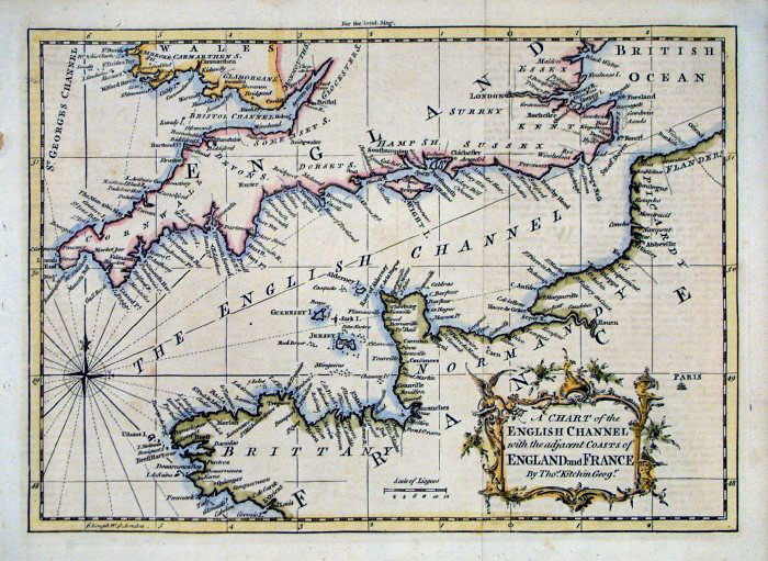 |
English Channel Thomas Kitchin
1758 (London Magazine) size: 270 x 190 mm two folds Antique Map Ref FLM213 £60.00 (+P&P) click image for enlargement |
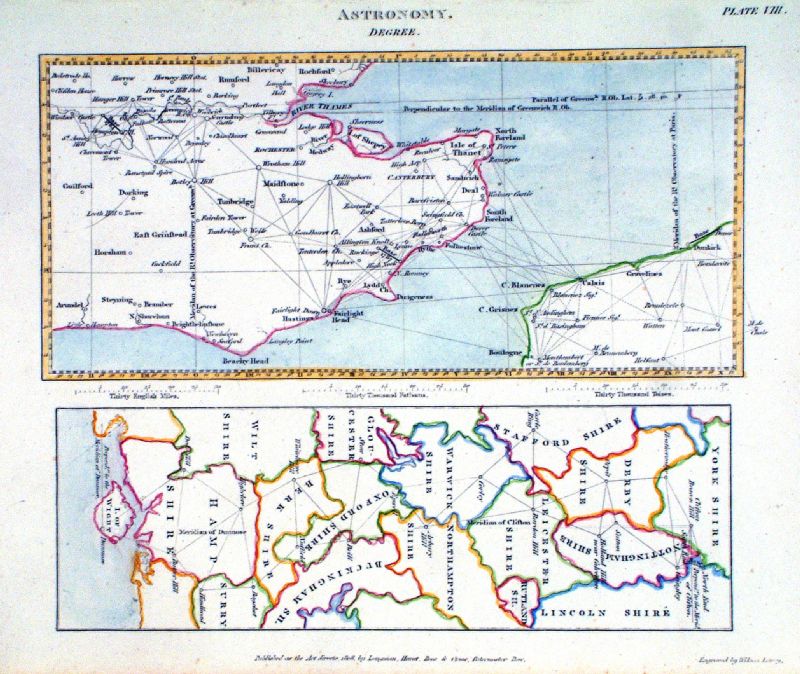 |
'Astronomy. Degree' Southern
England Triangulation. Wilson Lowry 1808 size: 240 x 200 mm Top: France to Kent to Hampshire triangulation points. Bottom: Hampshire to Yorkshire triangulation points. Antique Map Ref LAM010 £25.00 (+P&P) click image for enlargement |
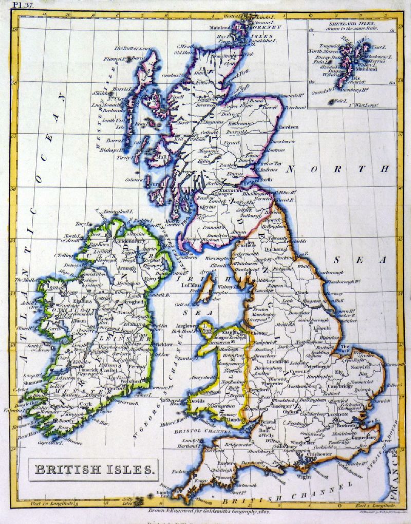 |
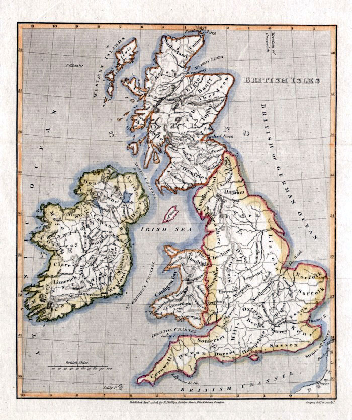
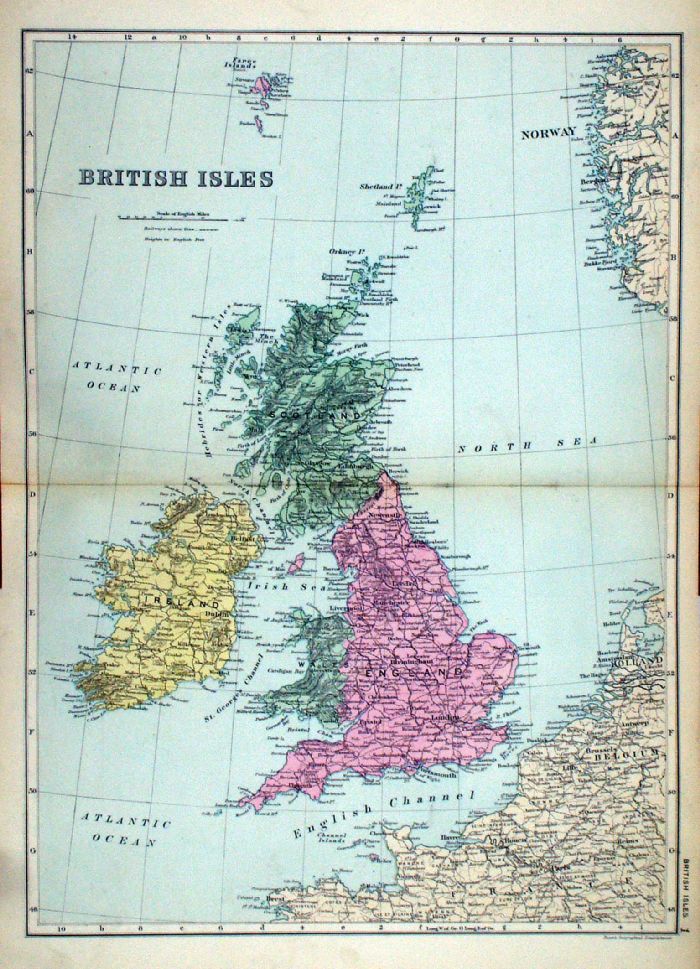
British Isles
Russell / Goldsmith / Phillips 1803 Copper engraving size: 175 x 210 mm, several folds Ref NHM003 £20.00 (+P&P) click image for enlargemen |
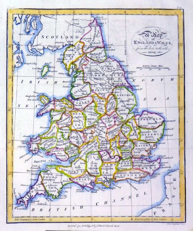 |
England and Wales
from the best Authorities Russell / Goldsmith / Phillips 1803 Copper engraving size: 175 x 210 mm, several folds Ref NHM002 £20.00 (+P&P) click image for enlargemen |
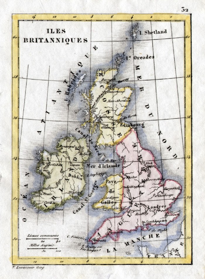 |
Great Britain and Ireland V.
Levasseur c1835 size: 130 x 100 mm Antique Map Ref HAM064 £18.00 (+P&P) click image for enlargement |
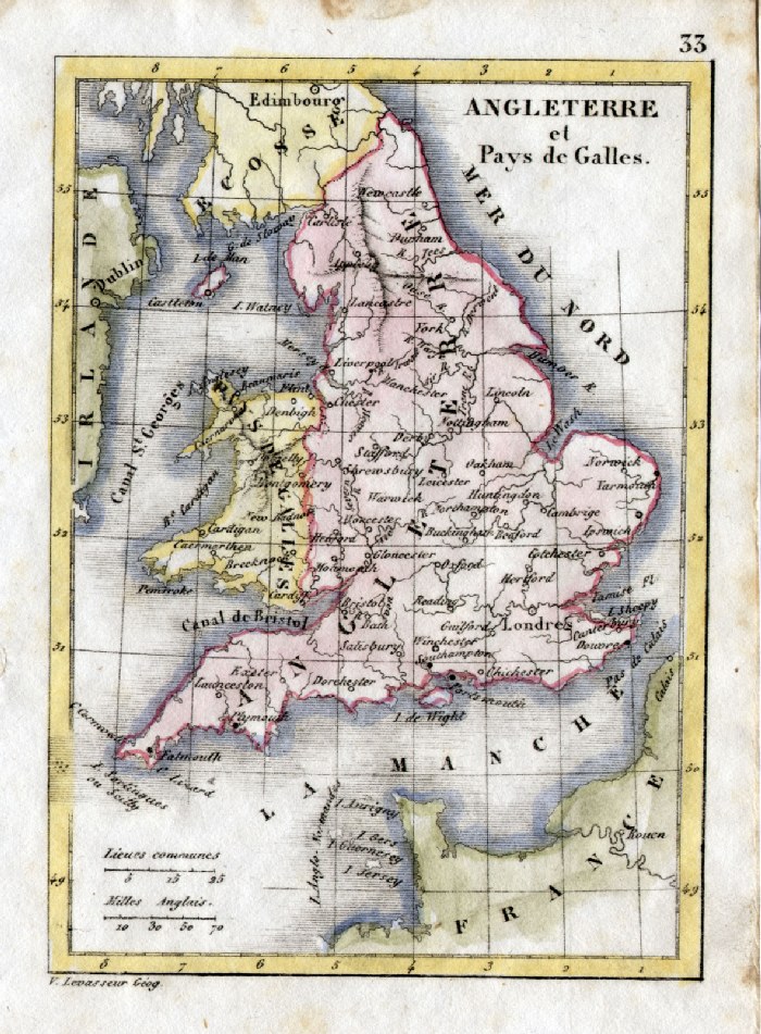 |
England and Wales V. Levasseur
c1835 size: 130 x 100 mm Antique Map Ref HAM065 £18.00 (+P&P) click image for enlargement |
 |
England and Wales Tyrer /
Souter 1838 size: 210 x 240 mm centre folds Antique Map Ref JLM030 £16.00 (+P&P) click image for enlargement |
 |
England (and Wales) - South Sidney
Hall 1840 size: 380 x 270
mm Antique Map Ref EKM133 £20.00 (+P&P) click image for enlargement |
 |
England & Wales
Wallis 1810
size: 105 x 145 mm Antique Map Ref AAM038 £20.00 (+P&P) click image for enlargement |
 |
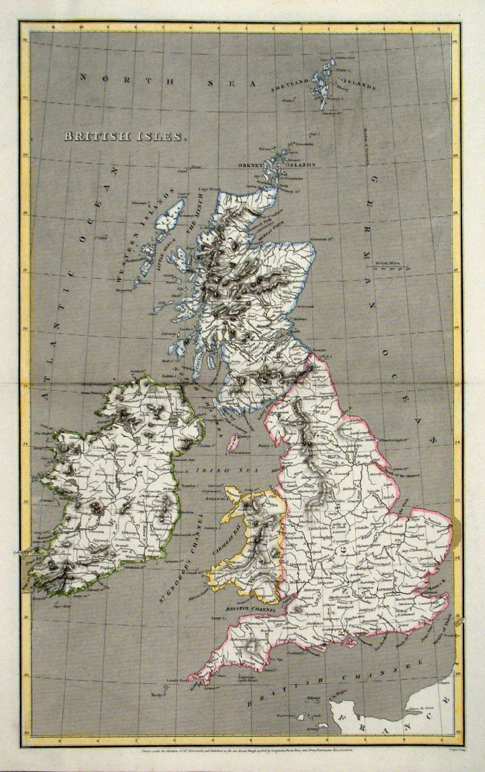
British Isles
Capper
1808 Engraved
by Cooper for Benjamin Pitts Capper size: 190 x 230 mm 2 folds Antique Map Ref GDM176 £15.00 (+P&P) click image for enlargement |
 |
British Isles
Arrowsmith / Cooper 1808
size: 260 x 420 mm Antique Map Ref FIM064 £16.00 (+P&P) click image for enlargement |
 |
England &
Wales Arrowsmith /
Hewit 1809
size: 260 x 420 mm Antique Map Antique Map Ref FIM066 £16.00 (+P&P) click image for enlargement |
 |
England & Wales Moule / Becker / Virtue c1845 size: 210 x 260 mm, tight margins Antique Map Ref IFM097 £16.00 (+P&P) click image for enlargement |
 |
England & Wales
Mackenzie 1868 Antique Map Ref FBM015 £10.00 (+P&P) size: 260 x 340 mm Strengthened centrefold. Discolouration on centrefold (not as severe as illustrated!) click image for enlargement |
 |
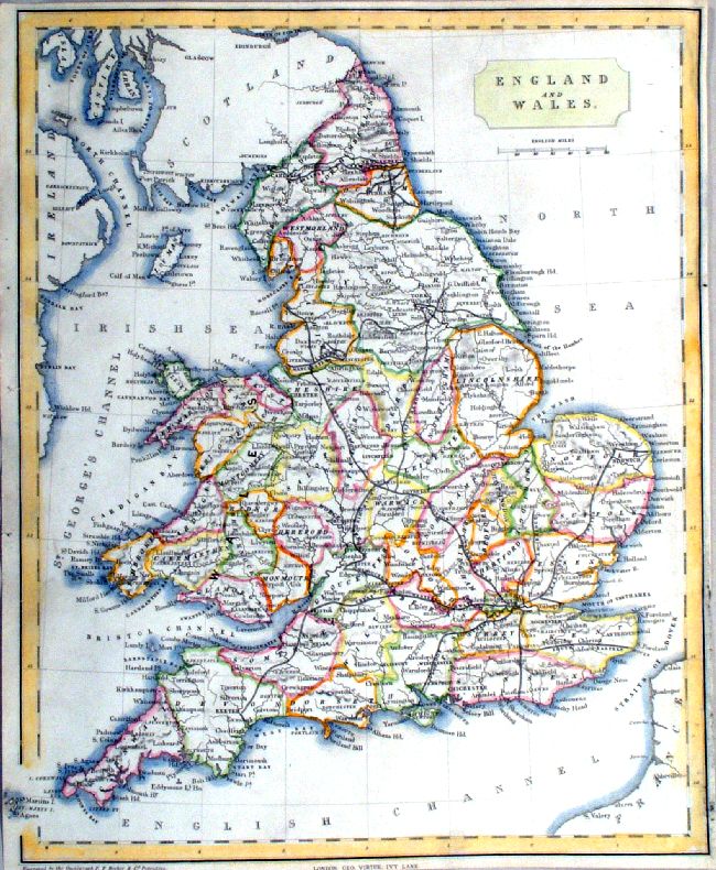
England & Wales Sidney Hall
(Walker's Atlas) 1823
size: 210 x 260 mm A few discoloured areas Antique Map Ref AAM026 £18.00 (+P&P) click image for enlargement |
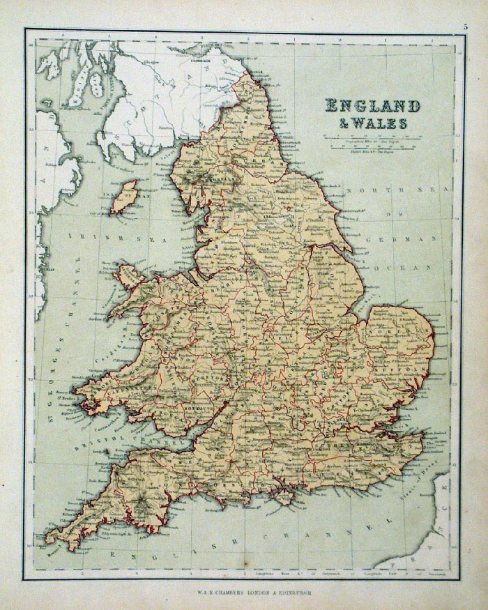 |
England &
Wales Chambers
1855
size: 240 x 300 mm Antique Map Antique Map Ref FDM126 £16.00 (+P&P) click image for enlargement |
 |
Ancient Britain S.
Arrowsmith 1828 size:
250 x 310 mm Antique Map Ref FDM020 £24.00 (+P&P) click image for enlargement |
 |
England & Wales
Thomas Kelly
1841 engraved by Alex Findlay size: 200x 260 mm damage to lower margin Ref OHM002 £12.00 (+P&P) click image for enlargement |
 |
England and Wales John Dower / Beeton
c1868 size: 190 x 240 mm tight bottom-right margin Antique Map Ref GAM049 £12.00 (+P&P) click image for enlargement |
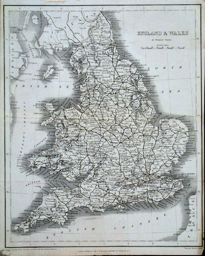 |
England and Wales Francis Young /
Beeton c1880 size: 200 x 260 mm tight right margin Antique Map Ref GAM034 £14.00 (+P&P) click image for enlargement |
 |
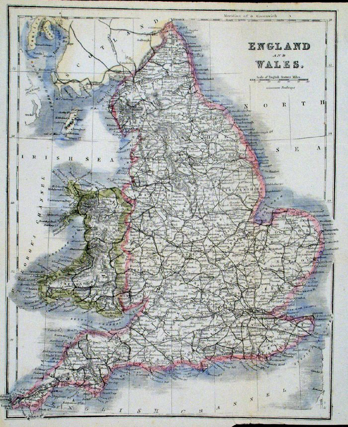
England & Wales
Lewis c1842 Original hand colour
size: 400 x 480 mm , 3 folds, a few repairs, a few faint foxing spots Antique Map Ref GHM068 £20.00 (+P&P) click image for enlargement |
 |
England & Wales
Lewis c1842
size: 400 x 480 mm , 3 folds, a few repairs Antique Map Ref NAM001 £28.00 (+P&P) Detail 1 Detail 2 Detail 3 click image for enlargement |
 |
England & Wales From the New Large Scale Atlas of the British Isles by G.W. Bacon 1892 size: 330 x 410 mm, centre fold Ref LHM149 £15.00 (+P&P) Detail click image for enlargement |
 |
Geological Map of
England From the New Large Scale Atlas of the British Isles by G.W. Bacon 1892 size: 330 x 410 mm, centre fold Ref LHM150 £15.00 (+P&P) Detail click image for enlargement |
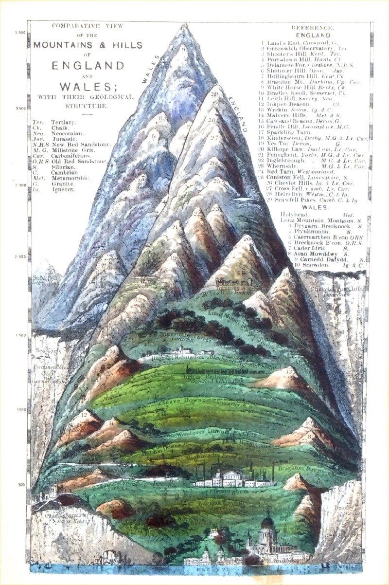 |
Comparative View of the
Mountains and Hills of England & Wales James Reynolds 1889 Second Edition size: 120 x 180mm Antique Map Ref RAM001 £28.00 (+P&P) click image for enlargement |
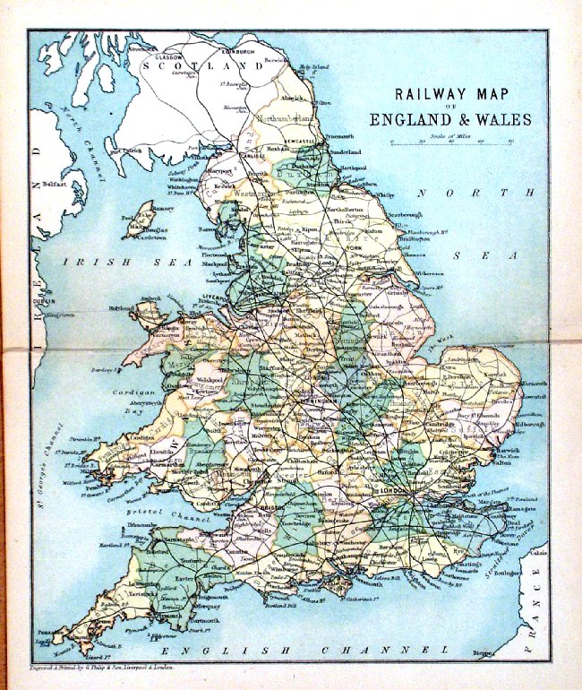 |
Railway map of England & Wales
George Philip 1898 size: 220 x 180 mm, centre fold, original printed colour split to centre fold. Antique Map Ref HHM005 £14.00 (+P&P) click image for enlargement |
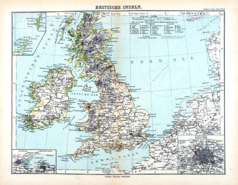 |
Britische Inseln Steiler /
Perthes 1895 size: 300 x 240 mm, centre fold. inset of Dublin, Edinburg, London, Orkneys & Shetlands Antique Map Ref HHM073 £15.00 (+P&P) click image for enlargement |
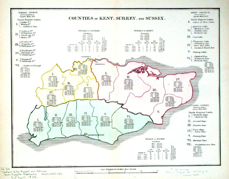 |
Counties of Kent, Surrey, Sussex Arrowsmith c1833 size: 380 x 310 mm, centre fold, pencil notes at margins Ref IDT010 £54.00 (+P&P) Detail click image for enlargement |
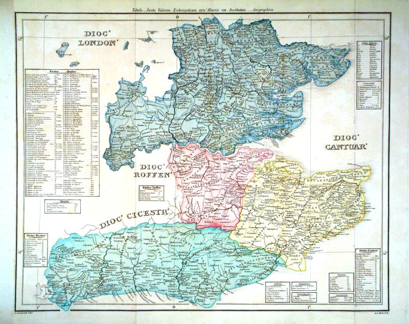 |
Kent, Sussex, Essex, Middlesex 'Tabula- Juxta Valorem Ecclesiasticum XXVI Henrici VIII Institutum ..' Diocese map by A. Arrowsmith 1810 size: 500 x 320 mm, 2 folds, strengthened left margin Antique Map Ref IDT005 £65.00 (+P&P) Detail click image for enlargement |
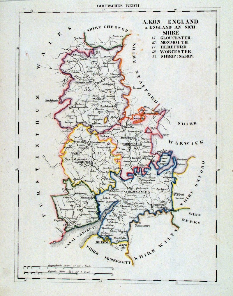 |
Western England
Schlieben c1829 ' Britisches Reich - A Kon England - England an Sich ' size: 290 x 220 mm a few foxing spots Ref HSS066 £24.00 (+P&P) click image for enlargement |
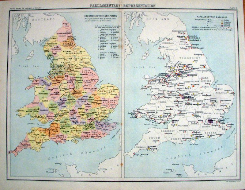 |
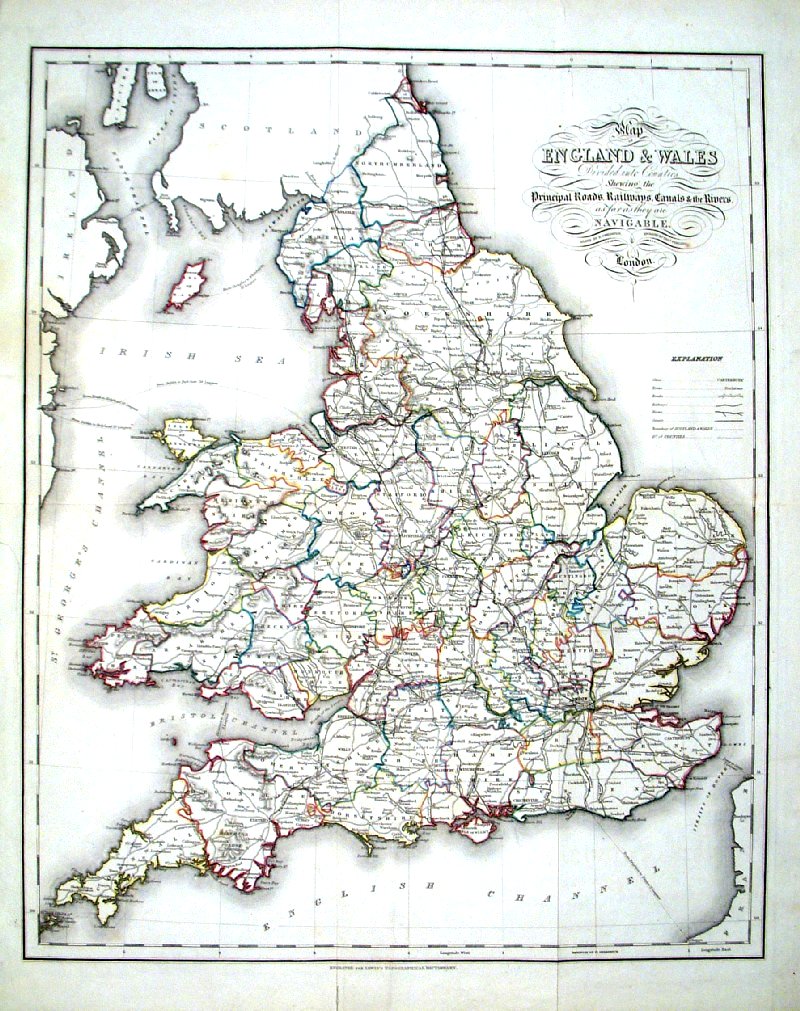
England & Wales
Parliamentary Representations Bartholomew Royal Atlas 1898 size: 460 x 350 mm, centre fold Left: Counties and their sub divisions Right: Parliamentary Boroughs Ref KGM071 £24.00 (+P&P) Ref KGM072 £24.00 (+P&P) click image for enlargement |
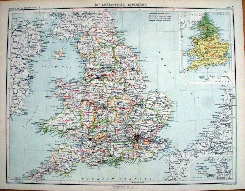 |
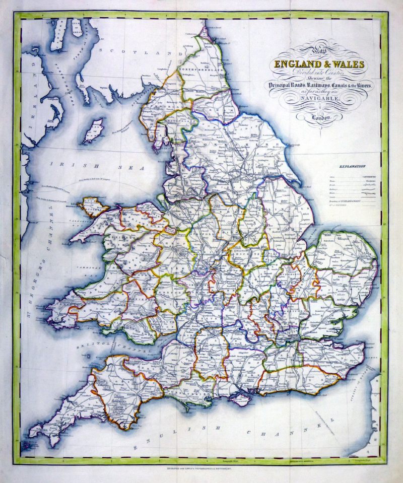
England & Wales
Ecclesiastical Divisions Bartholomew Royal Atlas 1898 size: 460 x 350 mm, centre fold Inset: Provinces of York and Canterbury Ref KGM073 £24.00 (+P&P) click image for enlargement |
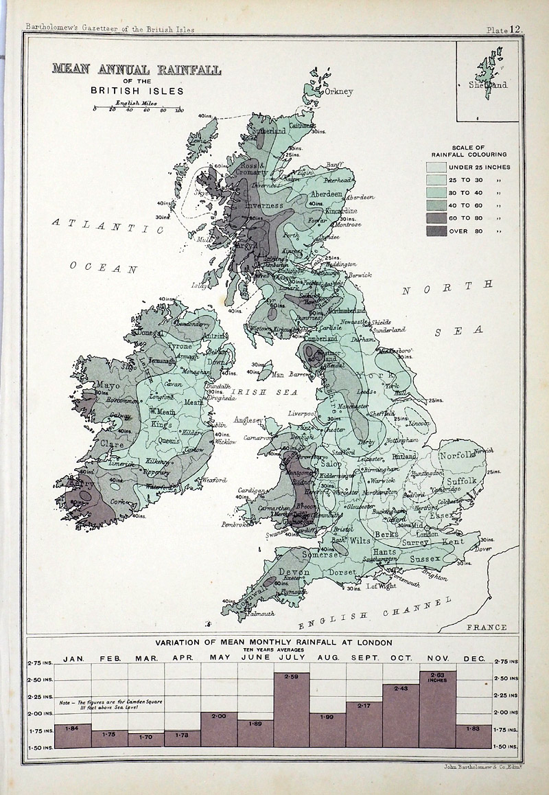
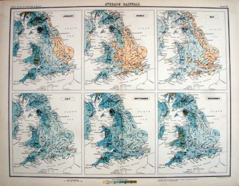 |
England & Wales Average
Rainfall Bartholomew Royal Atlas 1898 size: 460 x 350 mm, centre fold Every other month starting with January. Ref KGM078 £24.00 (+P&P) Ref KGM079 £24.00 (+P&P) click image for enlargement |
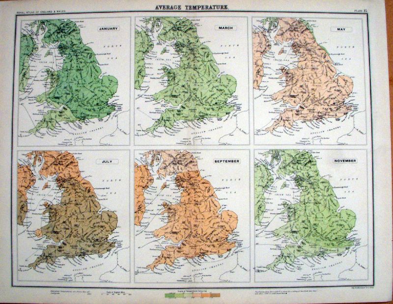 |
England & Wales Average
Temperature Bartholomew Royal Atlas 1898 size: 460 x 350 mm, centre fold Every other month starting with January. Ref KGM076 £24.00 (+P&P) Ref KGM077 £24.00 (+P&P) click image for enlargement |
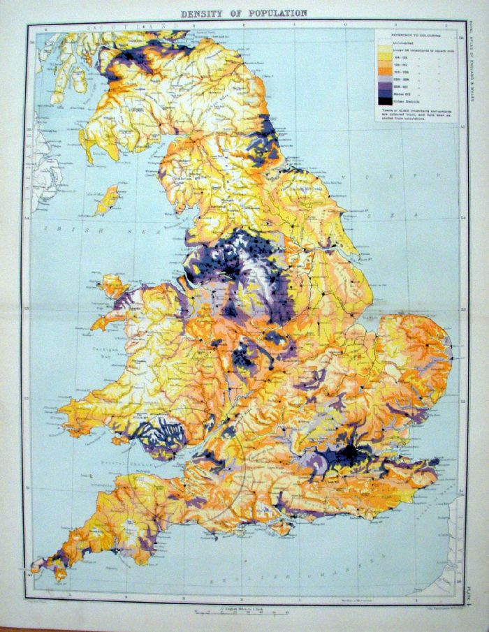 |
England & Wales Density of
Population Bartholomew Royal Atlas 1898 size: 460 x 350 mm, centre fold Nine colour coded density bands. Ref KGM074 £26.00 (+P&P) click image for enlargement |
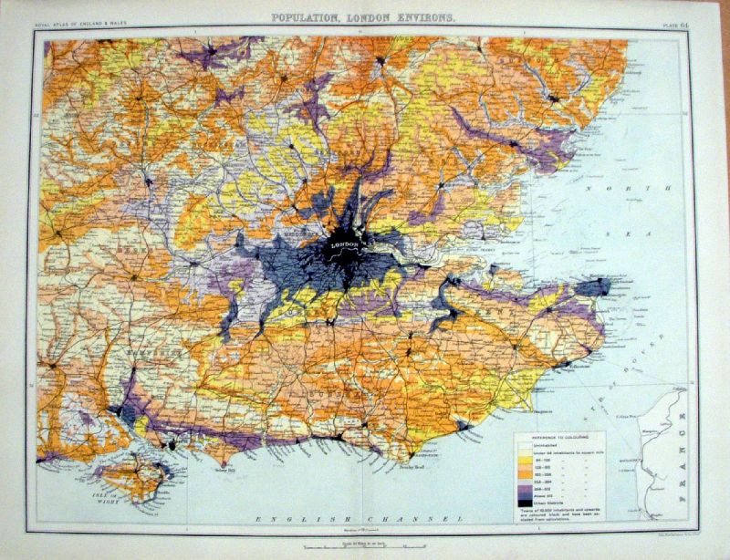 |
England & Wales Density of
Population - London Environs Bartholomew Royal Atlas 1898 size: 460 x 350 mm, centre fold Nine colour coded density bands. Ref KGM075 £26.00 (+P&P) click image for enlargement |
 |
England & Wales
Density of Population John Bartholomew Gazatteer of the British Isles 1904 Compiled from the 1901 census size: 170 x 240 mm Ref RLM011 £16.00 (+P&P) click image for enlargement |
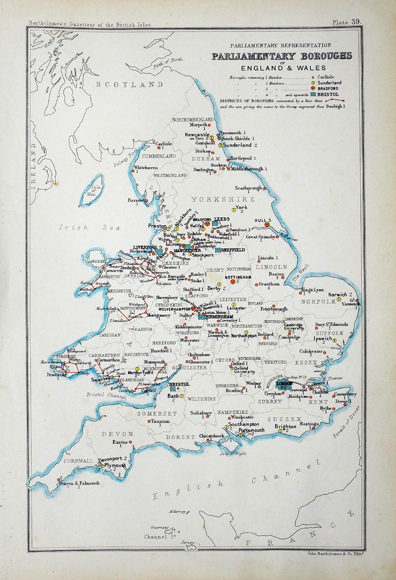 |
England & Wales
Parliamentary Boroughs John Bartholomew Gazatteer of the British Isles 1904 Compiled from the 1901 census size: 170 x 240 mm Ref RLM008 £16.00 (+P&P) click image for enlargement |
|
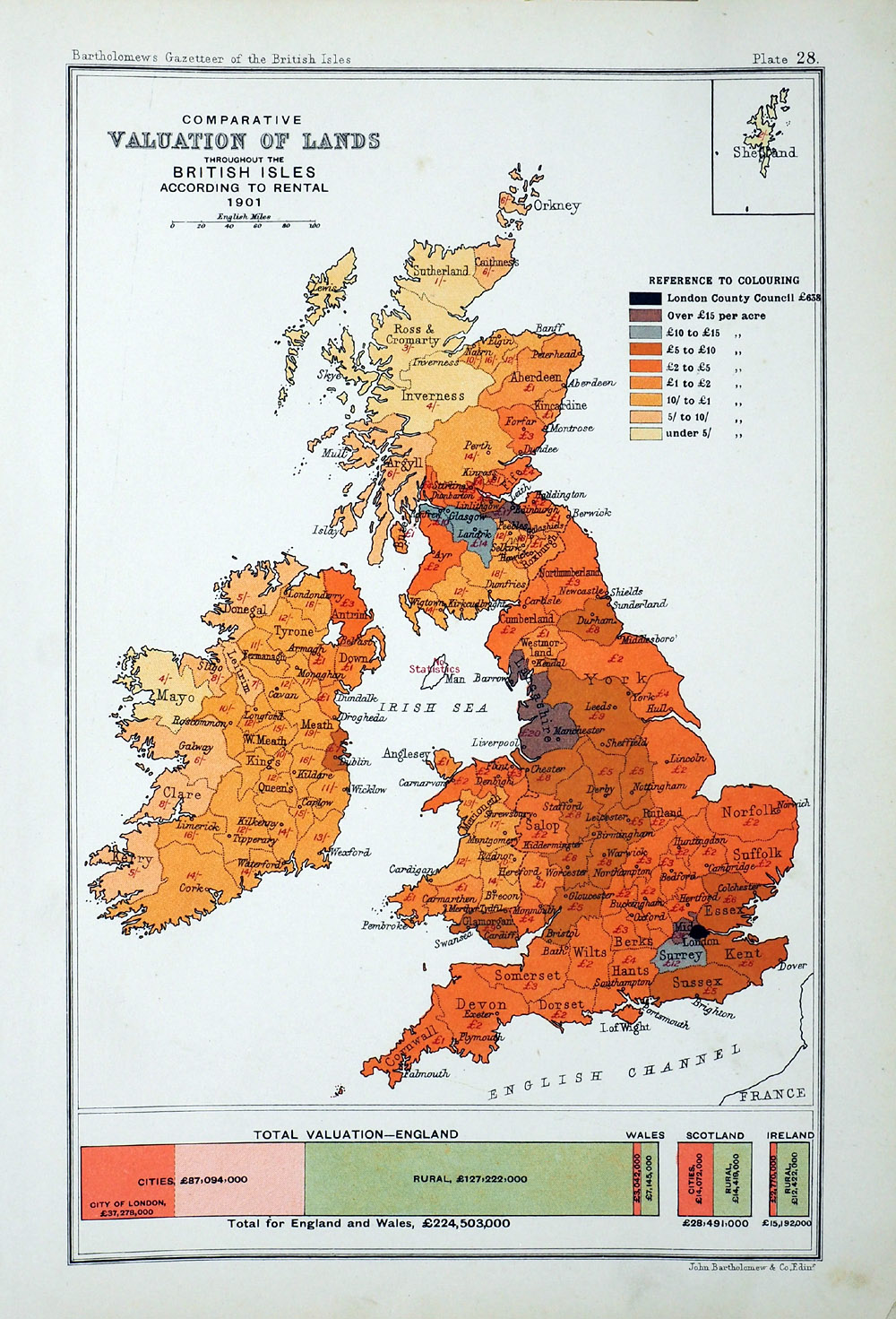
England & Wales
Valuation of Lands John Bartholomew Gazatteer of the British Isles 1904 Compiled from the 1901 census size: 170 x 240 mm Ref RLM011 £16.00 (+P&P) click image for enlargement |
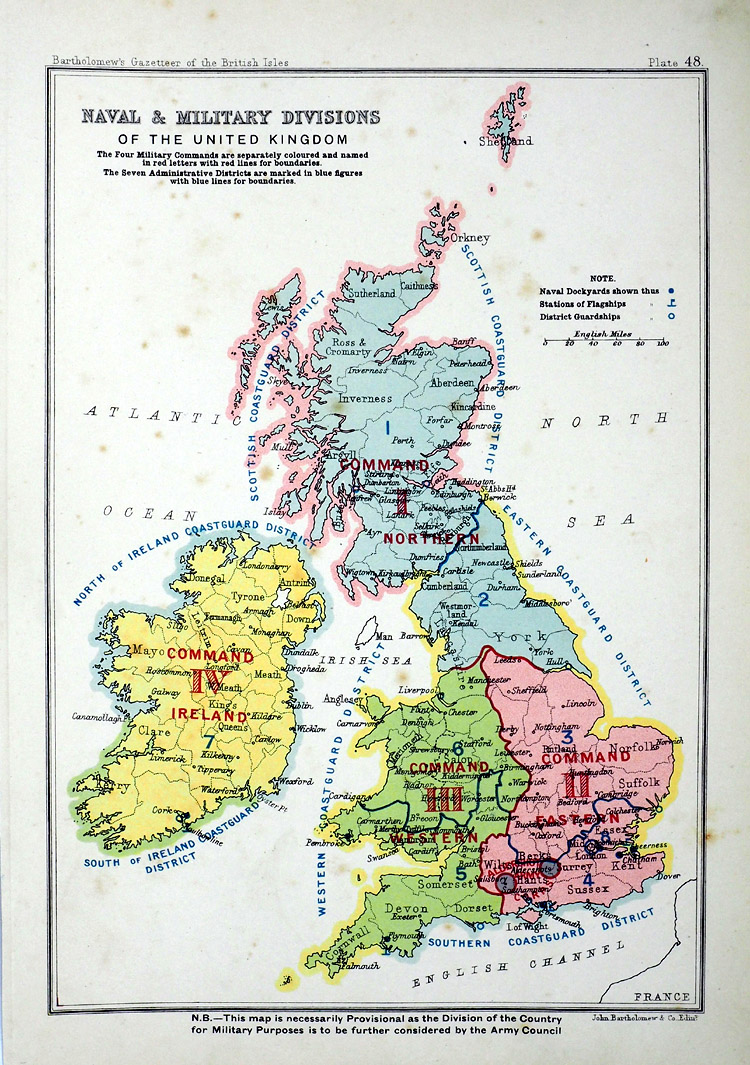 |
England & Wales
Navy and Military Divisions John Bartholomew Gazatteer of the British Isles 1904 Compiled from the 1901 census size: 170 x 240 mm Ref RLM009 £16.00 (+P&P) click image for enlargement |
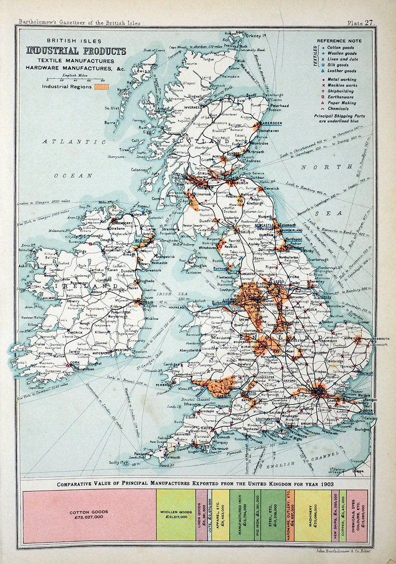 |
England & Wales
Industrial Products John Bartholomew Gazatteer of the British Isles 1904 Compiled from the 1901 census size: 170 x 240 mm Ref RLM012 £16.00 (+P&P) click image for enlargement |
 |
England & Wales
Valuation of Lands John Bartholomew Gazatteer of the British Isles 1904 Compiled from the 1901 census size: 170 x 240 mm Ref RLM010 £16.00 (+P&P) click image for enlargement |
| Links for Great Britain /
England & Wales Railways Maps River/Canals Maps Road Maps |
|
Islands |
|
 |
The Smaller Islands in the British Ocean
Owen / Bowen 1759
size: 130 x 190 mm Featuring White, Man, Guensey, Jersey, Alderney, Holy, Scilly From 'Britannia Depicta' - P 128 Antique Map Antique Map Ref GDM030 £40.00 (+P&P) click image for enlargement
|
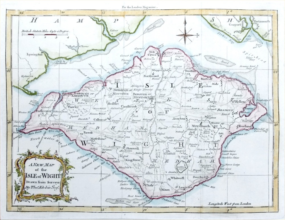 |
Isle of Wight Thos Kitchin / London Magazine 1763 Copper engraving - size: 250 x 190 mm, 2 folds Ref PGM005 £50.00 (+P&P) click image for enlargement |
 |
Isle of Wight Thomson 1811 (Patersons Roads) size: 230 x 170 mm Ref MEM002 £22.00 (+P&P) click image for enlargement |
 |
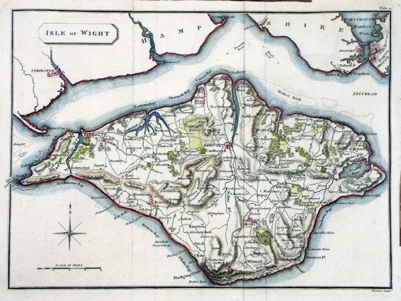
Isle of
Wight
Cary
1828 size: 220 x 180 mm Detail Antique Map Ref ILM012 £22.00 (+P&P) click image for enlargement |
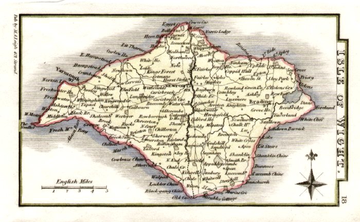 |
Isle of Wight Leigh
1837 size: 80 x 130 mm Antique Map Ref GGM018 £16.00 (+P&P) click image for enlargement |
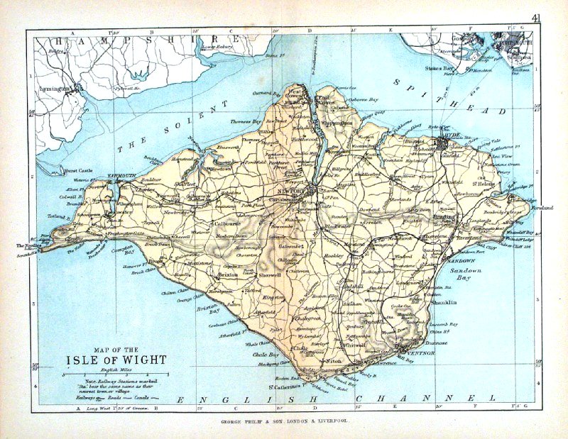 |
Isle of Wight George Philip
1898 size: 220 x 180 mm, centre fold, original printed colour Antique Map Ref HHM046 £12.00 (+P&P) click image for enlargement |
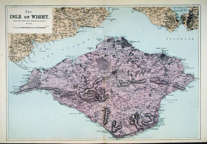 |
Isle of
Wight
Bacon
c1883 size: 470 x 330 mm Antique Map Ref FLM185 £24.00 (+P&P) click image for enlargement |
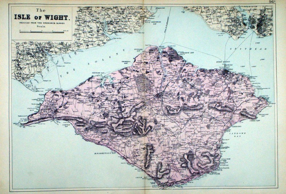 |
Isle of Wight From the New Large Scale Atlas of the British Isles by G.W. Bacon 1892 size: 470 x 330 mm, centre fold Ref LHM104 £24.00 (+P&P) Detail click image for enlargement |
 |
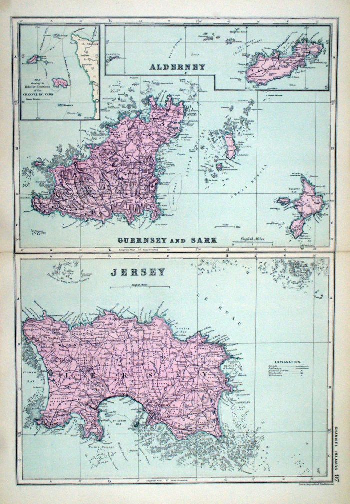
The Channel Islands
Bacon c1883 size:
330 x 460 mm Antique Map Ref FLM186 £24.00 (+P&P) click image for enlargement |
 |
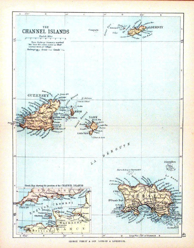
The Channel Islands From the New Large Scale Atlas of the British Isles by G.W. Bacon 1892 size: 330 x 460 mm, centre fold Ref LHM105 £24.00 (+P&P) Detail click image for enlargement |
 |
Channel Islands George Philip
1898 size: 220 x 180 mm, centre fold, original printed colour Antique Map Ref HHM048 £12.00 (+P&P) click image for enlargement |
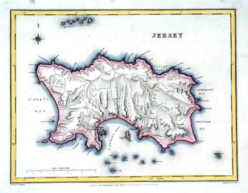 |
Jersey Lewis c1842
size: 250 x 190 mm Ref GHM093 £18.00 (+P&P) Ref NAM019 £18.00 (+P&P) Typical detail expected from this series of Lewis maps - D1, D2, D3 Details are not specifically from the map shown here. click image for enlargement |
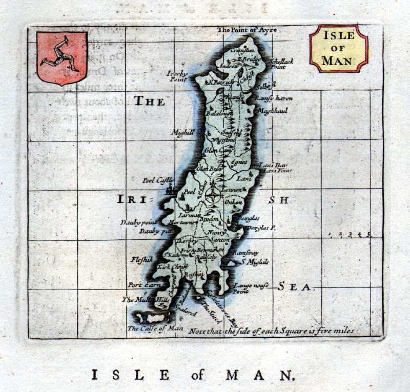 |
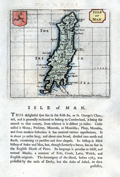
Isle of Man Seller-Grose
1787 Copper engraving map size: 160 x 150 mm , page size: 170 x 260 mm Antique Map Ref FLM069 £35.00 (+P&P) click image for enlargement |
 |
Isle of Man Lewis c1842
Original hand colour size: 250 x190 mm Antique Map Ref GHM080 £20.00 (+P&P) a few faint foxing spots Antique Map Ref NAM023 £22.00 (+P&P) click image for enlargement |
 |
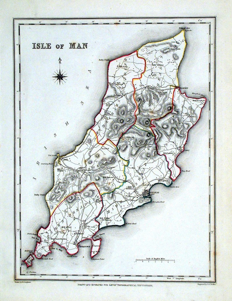
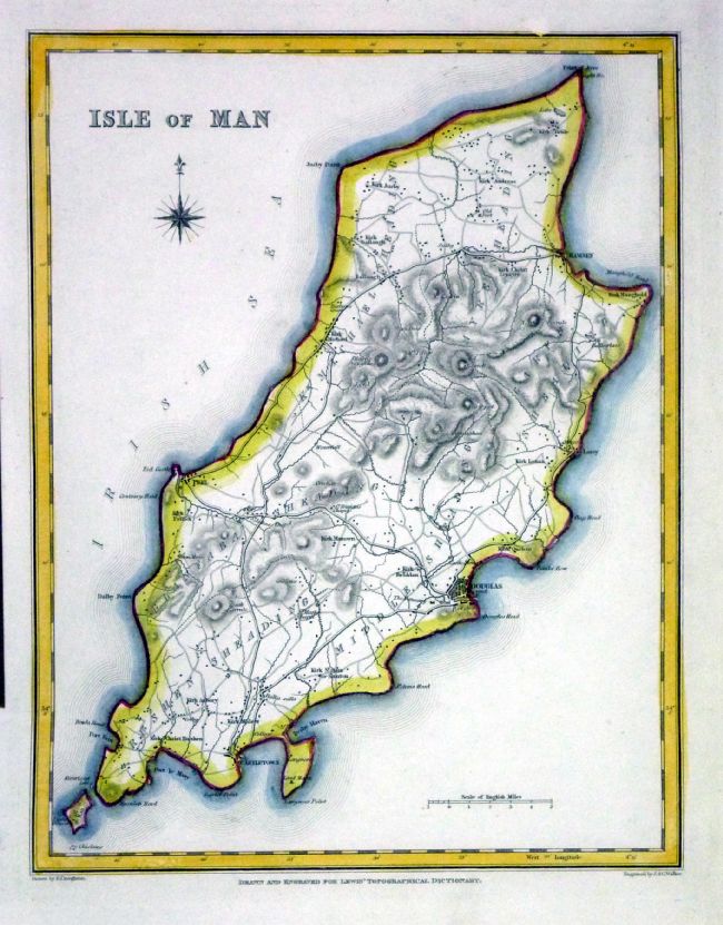
Isle of Man
Thomas Moule c1845 Note orientaion - North to the right size: 260 x 200 mm, tight side margins Ref IFM093 £50.00 (+P&P) click image for enlargement |
 |
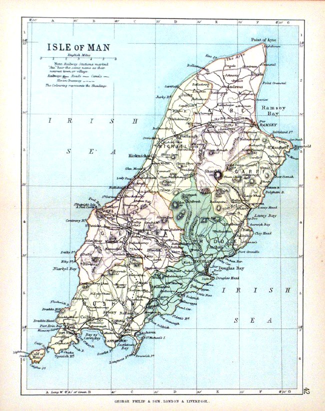
Isle of Man
Bacon c1883 size: 320 x 500 mm Antique Map Ref FLM184 £28.00 (+P&P) click image for enlargement |
 |
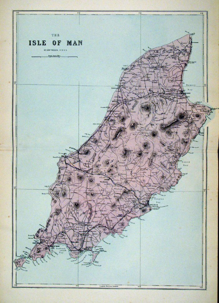
Isle of Man George Philip
1898 Colouring Represents the Sheadings size: 180 x 220 mm, centre fold, original printed colour Antique Map Ref HHM047 £18.00 (+P&P) click image for enlargement |
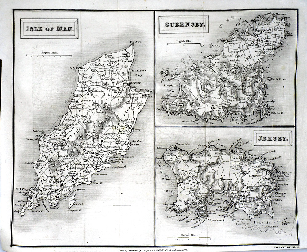 |
Isle of Man, Guernsey,
Jersey Sidney Hall 1832 size: 260 x 210 mm Antique Map Ref RLM001 £15.00 (+P&P) click image for enlargement |
Scotland |
|
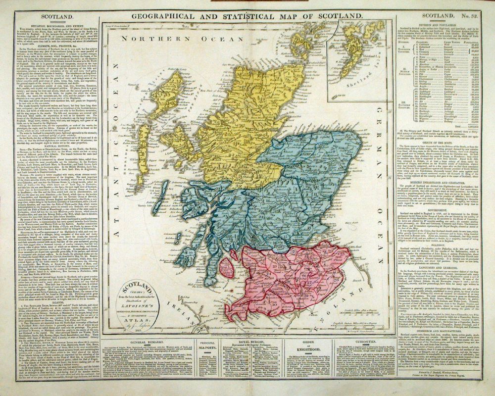 |
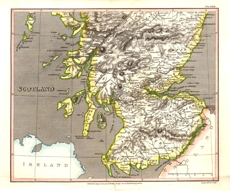
Geographical and
Statistical Map of Scotland Map engraved by J. Walker. Set with statistical data. From Lavoisne's Genealogical, Historical, Chronological and Geographical Atlas 1827 - Title Page For Statistics Tables and Charts from this atlas see Charts and Tables Page Copper engraving page size: 530 x 420 mm, centre fold. Ref LHM035 £40.00 (+P&P) Detail click image for enlargement |
 |
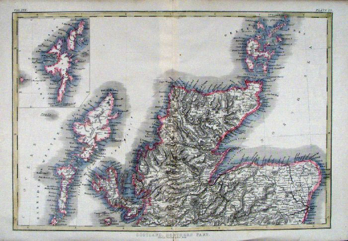
Scotland (North) Sidney
Hall 1842 size: 390 x 260
mm Antique Map Ref EKM055 £18.00 (+P&P) click image for enlargement |
 |
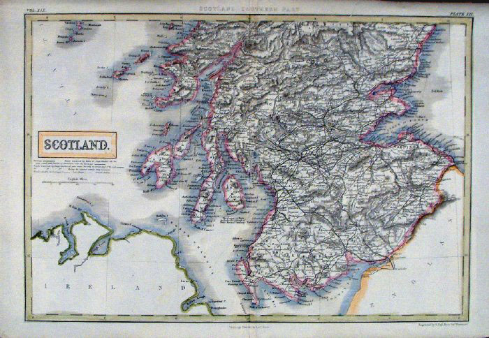
Scotland (South) Sidney
Hall 1842 size: 390 x 260
mm Antique Map Ref EKM056 £18.00 (+P&P) click image for enlargement |
 |
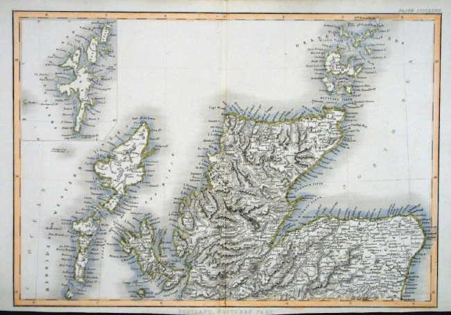
Scotland - North Sidney Hall
1840 size: 380 x 270 mm Antique Map Ref EKM123 £18.00 (+P&P) click image for enlargement |
 |
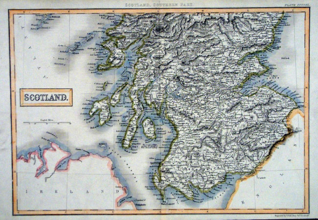
Scotland - South Sidney Hall
1840 size: 380 x 270 mm Antique Map Ref EKM122 £18.00 (+P&P) click image for enlargement |
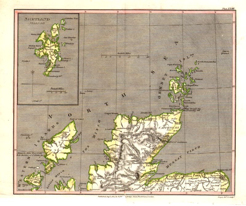 |
Scotland - North
Cooper 1807
Size: 230 x 190 mm, 1 fold Rare edition dated August 1, 1807, prior to the popular Capper edition of 1808 'Published Aug 1 1807 by R. Phillips, Bridge Street, Blackfriars, London' Ref IFM042 £20.00 (+P&P) click image for enlargement |
 |
Scotland - South
Cooper 1807
Size: 230 x 190 mm, 1 fold Rare edition dated August 1, 1807, prior to the popular Capper edition of 1808 'Published Aug 1 1807 by R. Phillips, Bridge Street, Blackfriars, London' Ref IFM041 £20.00 (+P&P) click image for enlargement |
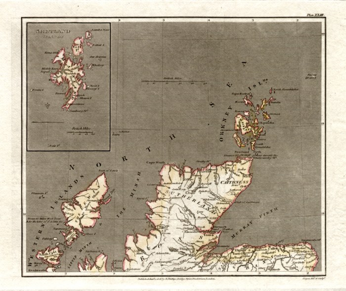 |
Scotland - North Capper
1808
Engraved by Cooper for Benjamin Pitts Capper size: 230 x 190 mm 2 folds Antique Map Ref GDM212 £15.00 (+P&P) click image for enlargement |
 |
Scotland - South Capper
1808
Engraved by Cooper for Benjamin Pitts Capper size: 230 x 190 mm 2 folds Antique Map Ref GDM213 £15.00 (+P&P) click image for enlargement |
 |
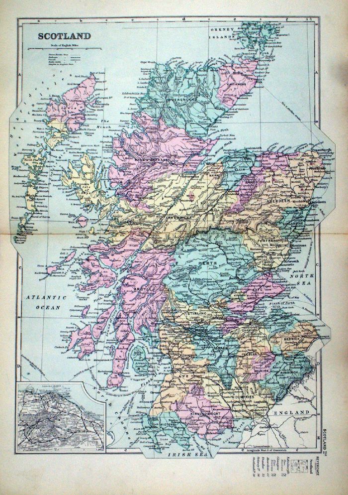
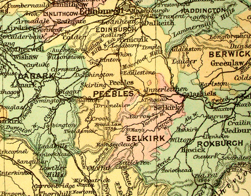
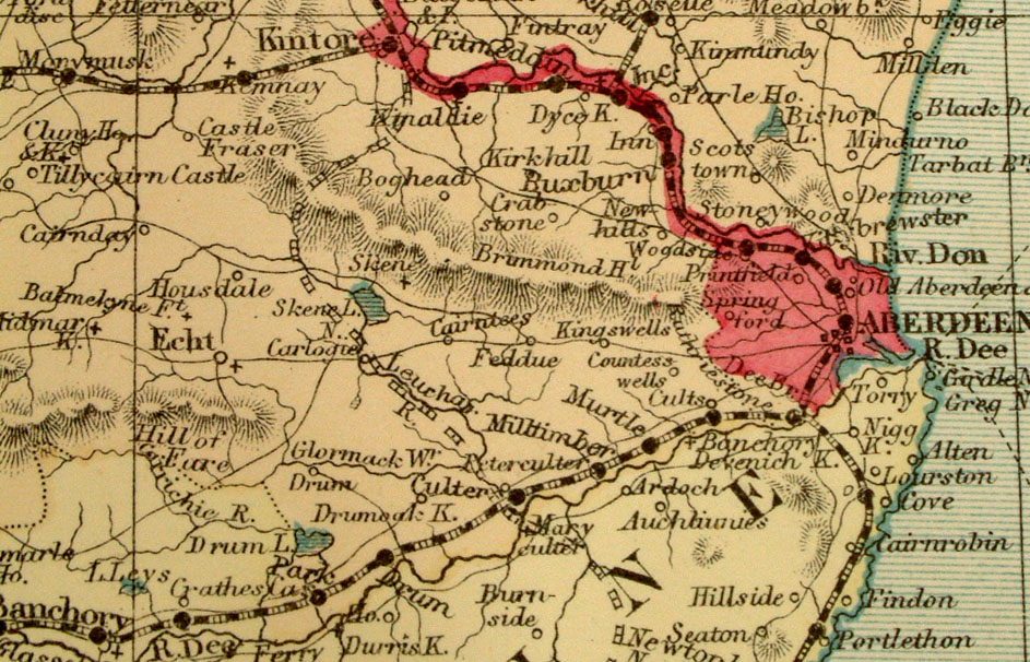
Scotland Mackenzie
1868 Antique Map Ref FBM016 £10.00 (+P&P) size: 260 x 340 mm Strengthened centrefold. Discolouration on centrefold (not as severe as illustrated!) click image for enlargement |
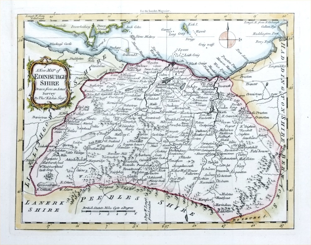 |
Edinburgh
Shire Kitchin / London Mag 1763 size: 240 x 190 mm, 2 folds Antique Map Ref PGM002 £45.00 (+P&P) click image for enlargement |
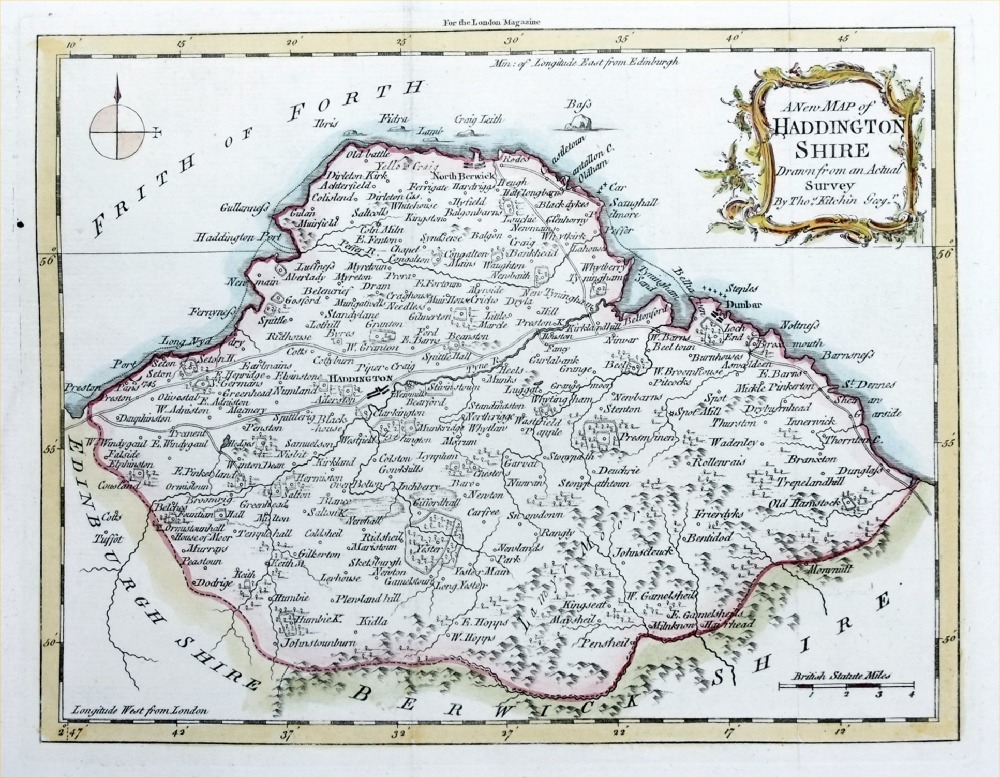 |
Haddington
Shire Kitchin / London Mag 1763 size: 240 x 190 mm, 2 folds Antique Map Ref PGM002 £40.00 (+P&P) click image for enlargement |
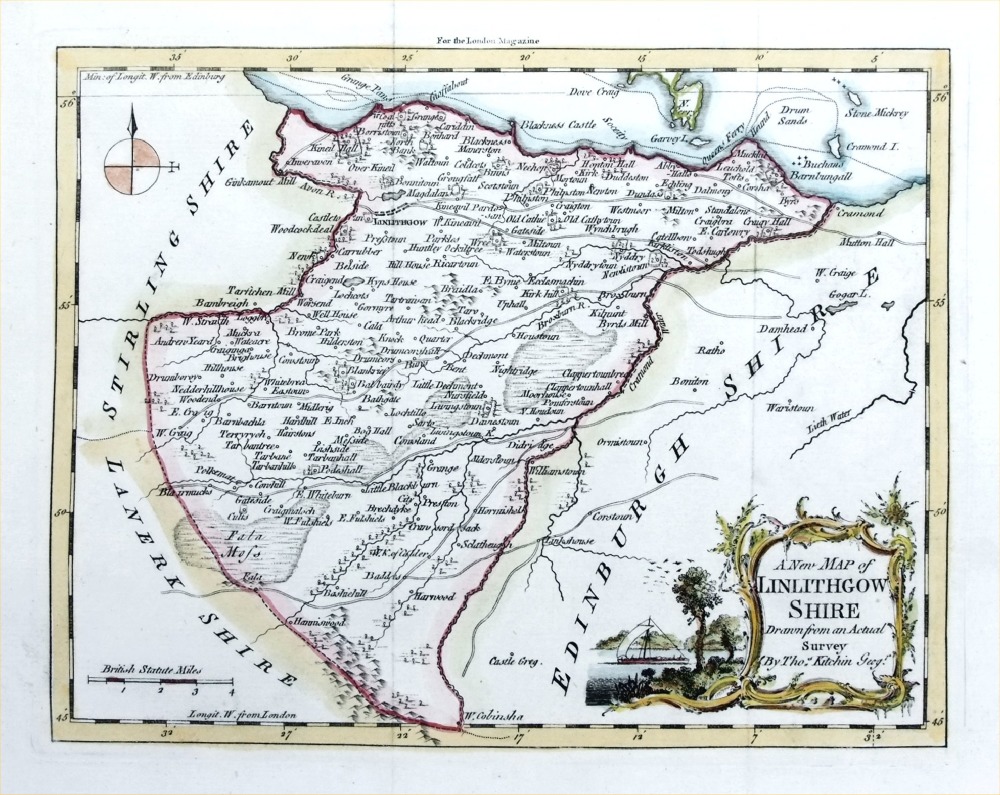 |
Linlithgow
Shire Kitchin / London Mag 1763 size: 240 x 190 mm, 2 folds Antique Map Ref PGM004 £40.00 (+P&P) click image for enlargement |
 |
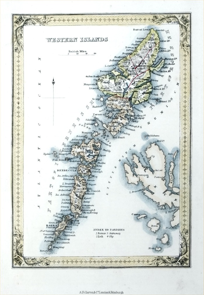
Western
Islands Fullarton 1861 size: 140 x 200 mm Antique Map Ref PGM037 £22.00 (+P&P) click image for enlargement |
 |
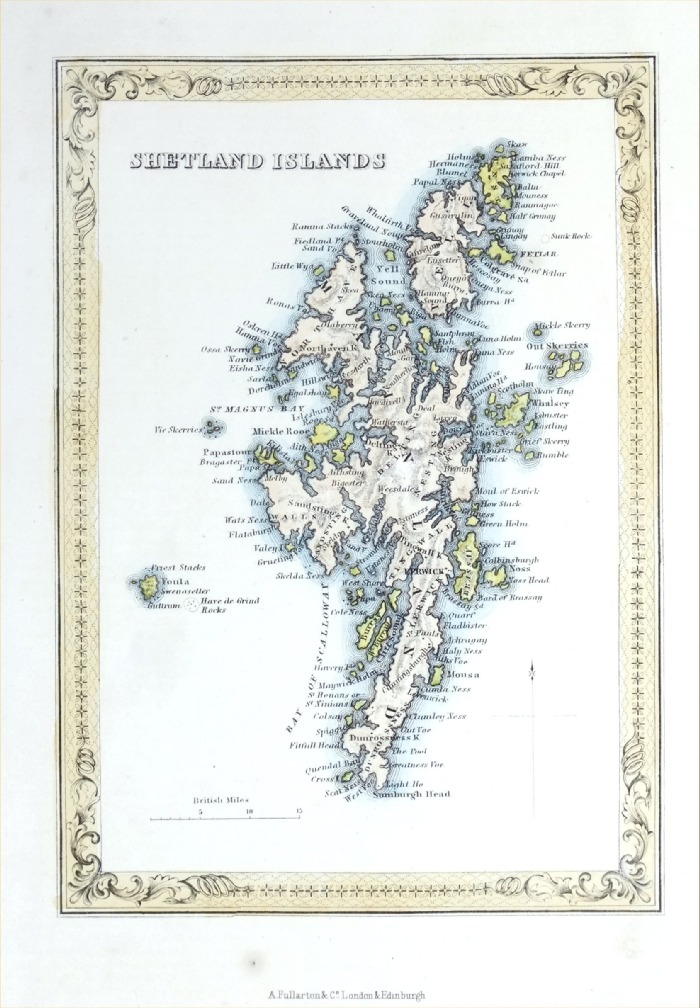
Shetland
Islands Fullarton 1861 size: 140 x 200 mm Antique Map Ref PGM038 £22.00 (+P&P) click image for enlargement |
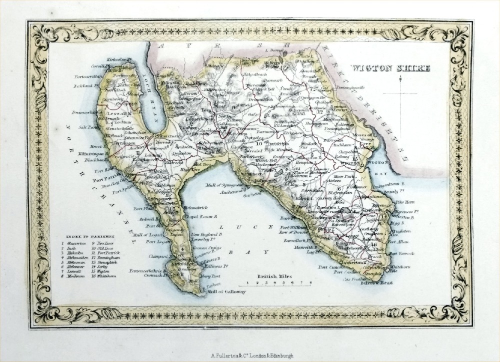 |
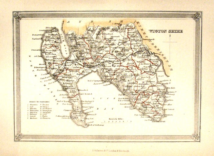
Wigton Shire
Fullarton 1861 size: 200 x 140 mm Antique Map Ref PGM043 £20.00 (+P&P) click image for enlargement |
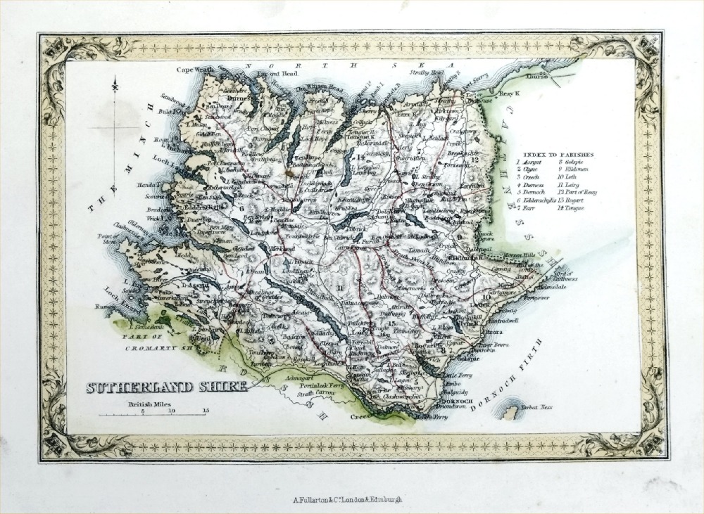 |
Sutherland Shire
Fullarton 1861 size: 200 x 140 mm Antique Map Ref PGM041 £20.00 (+P&P) click image for enlargement |
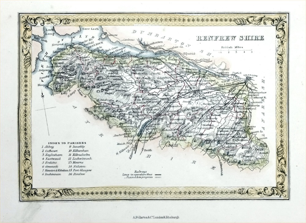 |
Renfrew Shire
Fullarton 1861 size: 200 x 140 mm Antique Map Ref PGM040 £20.00 (+P&P) click image for enlargement |
 |
Ross & Cromarty
Shires Fullarton 1861 size: 200 x 140 mm Antique Map Ref PGM030 £20.00 (+P&P) click image for enlargement |
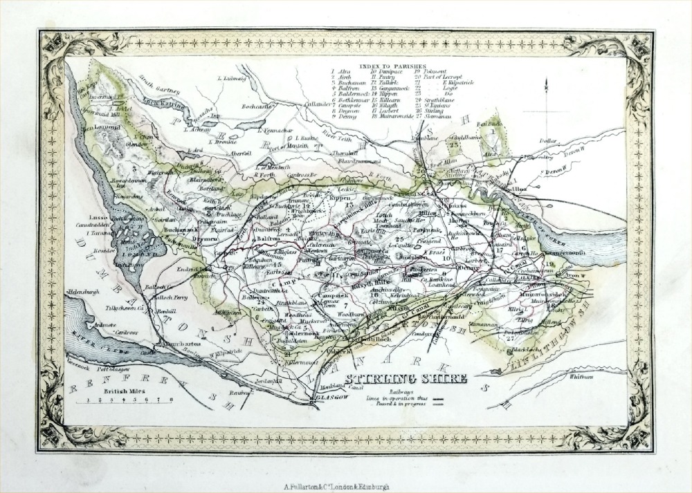 |
Stirling Shire
Fullarton 1861 size: 200 x 140 mm Antique Map Ref PGM046 £20.00 (+P&P) click image for enlargement |
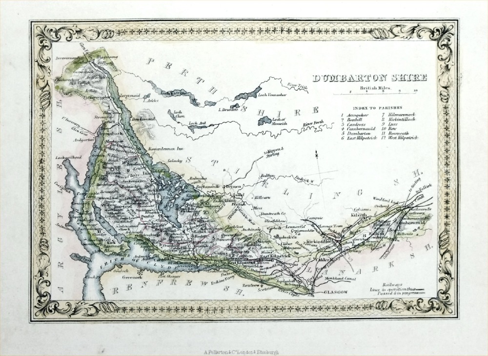 |
Dumbarton Shire
Fullarton 1861 size: 200 x 140 mm Antique Map Ref PGM045 £20.00 (+P&P) click image for enlargement |
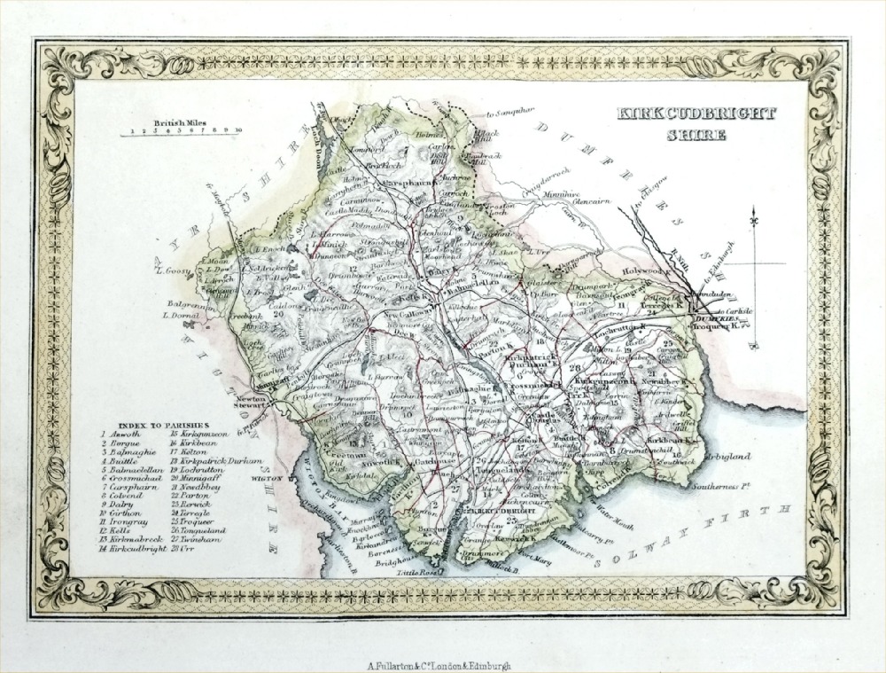 |
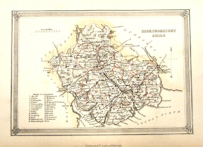
Kirkcudbright Shire
Fullarton 1861 size: 200 x 140 mm Antique Map Ref PGM042 £20.00 (+P&P) click image for enlargement |
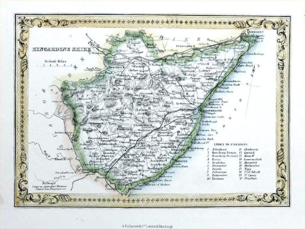 |
Kincardine Shire
Fullarton 1861 size: 200 x 140 mm Antique Map Ref PGM051 £20.00 (+P&P) click image for enlargement |
|
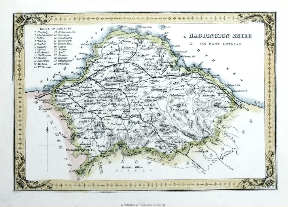
Haddington Shire or
East Lothian Fullarton 1861 size: 200 x 140 mm Antique Map Ref PGM049 £20.00 (+P&P) click image for enlargement |
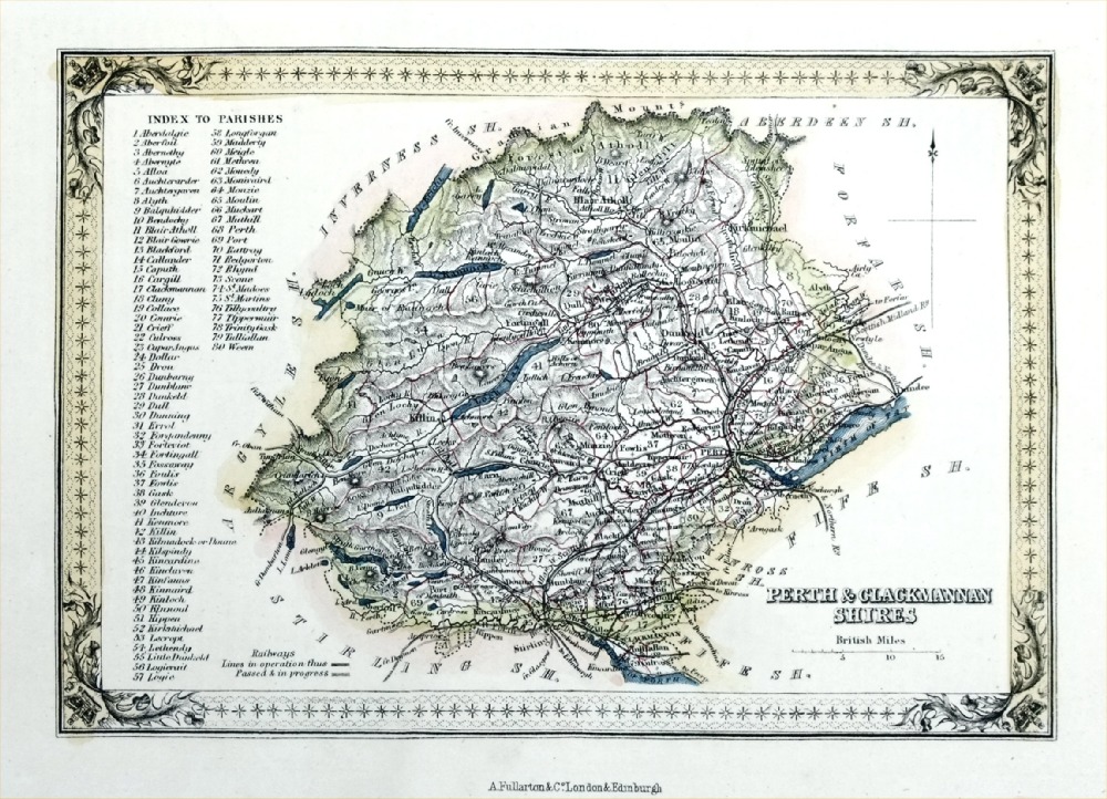 |
Perth &
Clackmannan Shires Fullarton 1861 size: 200 x 140 mm Antique Map Ref PGM048 £20.00 (+P&P) click image for enlargement |
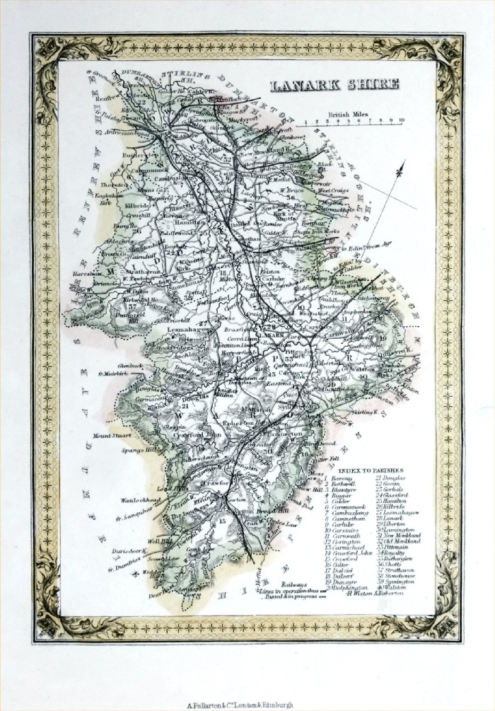 |
Lanark Shire
Fullarton 1861 size: 140 x 200 mm Antique Map Ref PGM047 £20.00 (+P&P) click image for enlargement |
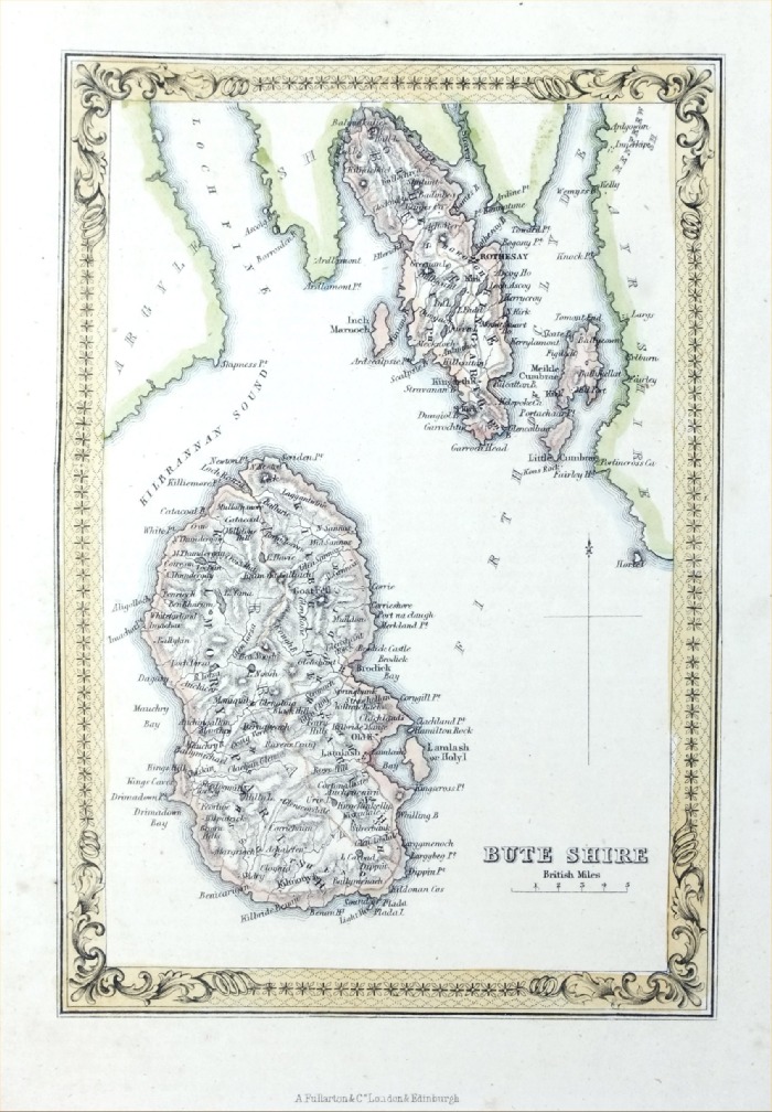 |
Bute Shire
Fullarton 1861 size: 140 x 200 mm Antique Map Ref PGM036 £20.00 (+P&P) click image for enlargement |
 |
Wigton Shire Fullarton
c1855 size: 140 x 190 mm Antique Map Ref FLM190 £20.00 (+P&P) click image for enlargement |
 |
Kirkcudbright Shire Fullarton
c1855 size: 140 x 190 mm Antique Map Ref FLM201 £20.00 (+P&P) click image for enlargement |
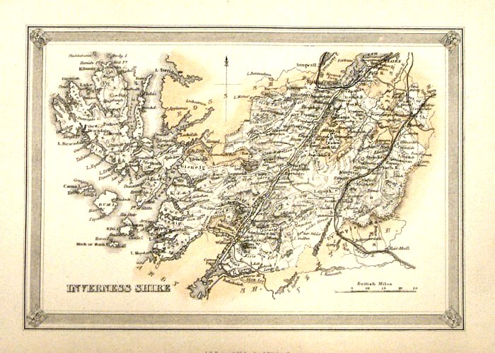 |
Inverness Shire Fullarton
c1855 size: 140 x 190 mm Antique Map Ref FLM203 £20.00 (+P&P) click image for enlargement |
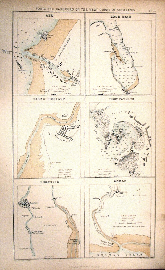 |
Ports and Harbours on the West Coast of Scotland Fullarton c1855 size: 140 x 190 mm Antique Map Ref FLM208 £20.00 (+P&P) click image for enlargement |
 |
Scotland Inset of Edinburgh From the New Large Scale Atlas of the British Isles by G.W. Bacon 1892 size: 330 x 410 mm, centre fold Ref LHM148 £16.00 (+P&P) Detail click image for enlargement |
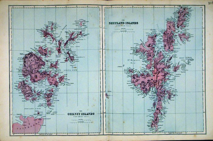 |
Orkneys and Shetlands Bacon
c1883 size: 500 x 320 mm Antique Map Ref FLM187 £26.00 (+P&P) click image for enlargement |
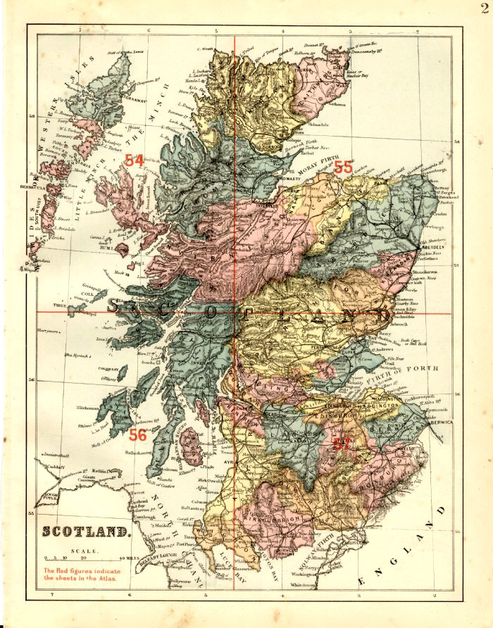 |
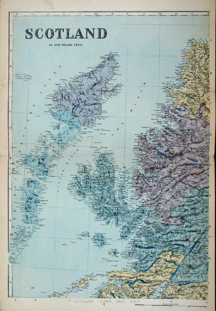
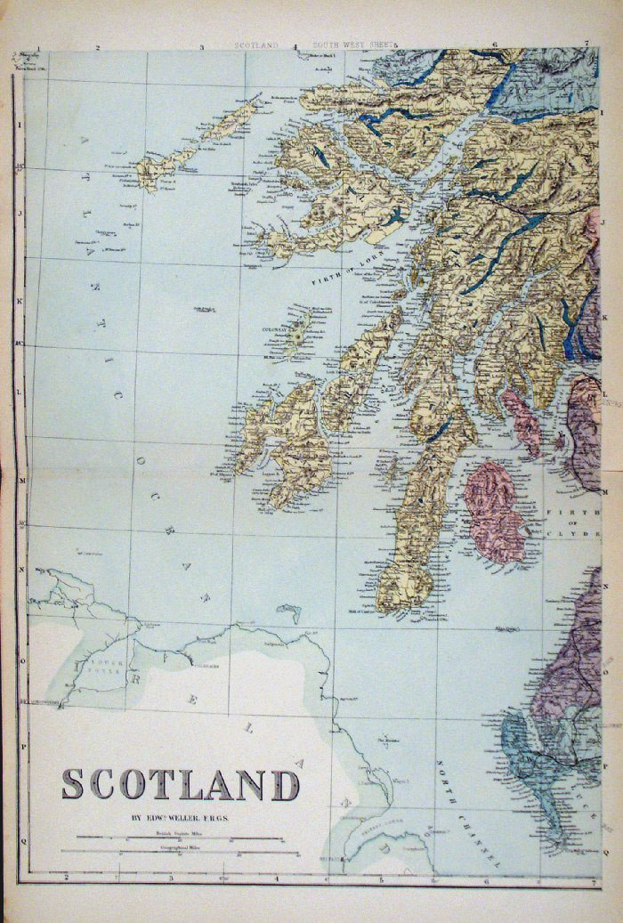
Scotland - 4 sheets
Bacon c1883
size: 500 x 320 mm Master plan (illustrated left) - Sold Remaining 4 sectional maps of NE, NW, SE, SW Antique Map Ref FLM088 (all 4 sheets - will not split) £20.00 (+P&P) click image for enlargement |
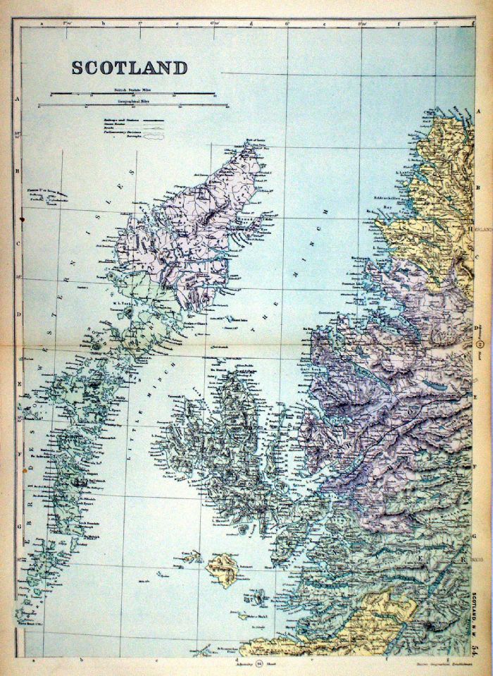 |
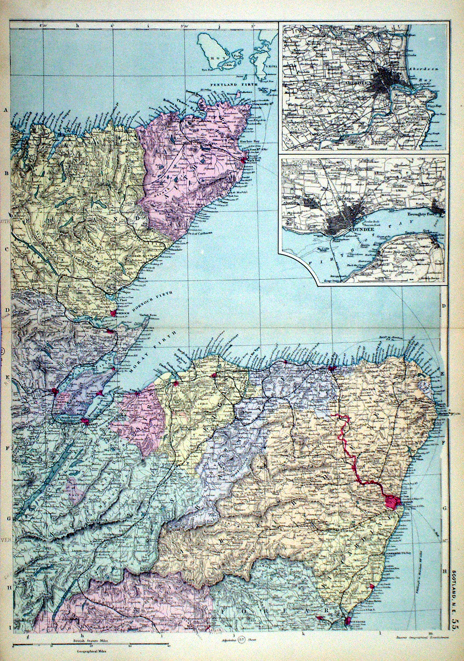
Scotland
in 4 sheets Insets of Orkney & Shetlands, Environs of Glasgow, Perth, Edinburgh, Aberdeen, Dundee From the New Large Scale Atlas of the British Isles by G.W. Bacon 1892 each sheet: size: 340 x 450 mm, centre fold Ref LHM109 (all four sheets - will not split) £25.00 (+P&P) Detail Detail click image for enlargement |
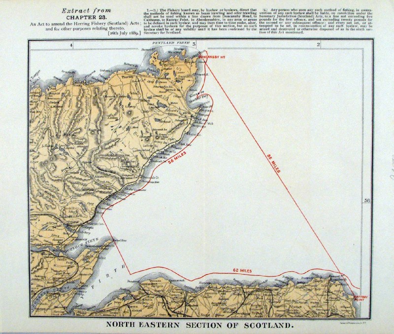 |
'North Eastern Section of Scotland ...
' United States Coast and Geodetic Survey 1895 Map of banned fishing by means of Beam Trawling or Otter Trawling. Litho size: 250 x 210 mm Ref HLM048 £28.00 (+P&P) click image for enlargement |
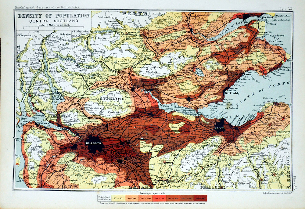 |
Density of Population - Central
Scotland John Bartholomew Gazatteer of the British Isles 1904 Compiled from the 1901 census size: 170 x 240 mm Ref RLM011 £16.00 (+P&P) click image for enlargement |
| Link to Prints of
Scotland Link to Maps of Scottish Town Plans |
|
Wales
|
|
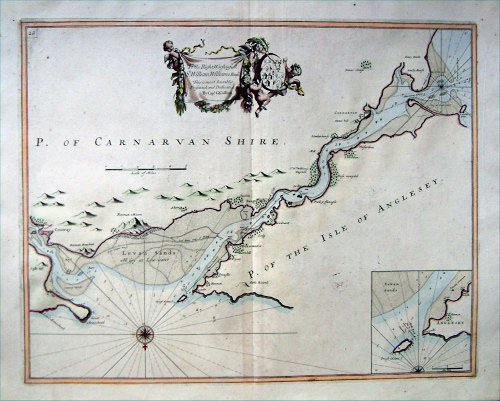 |
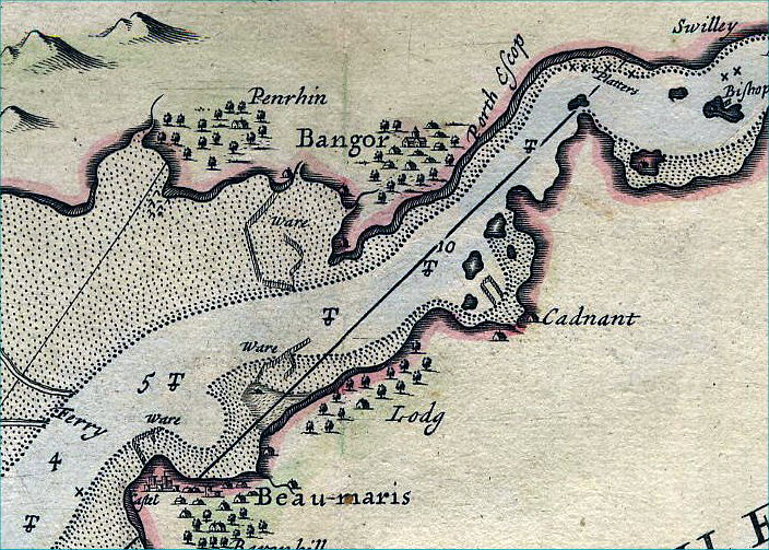
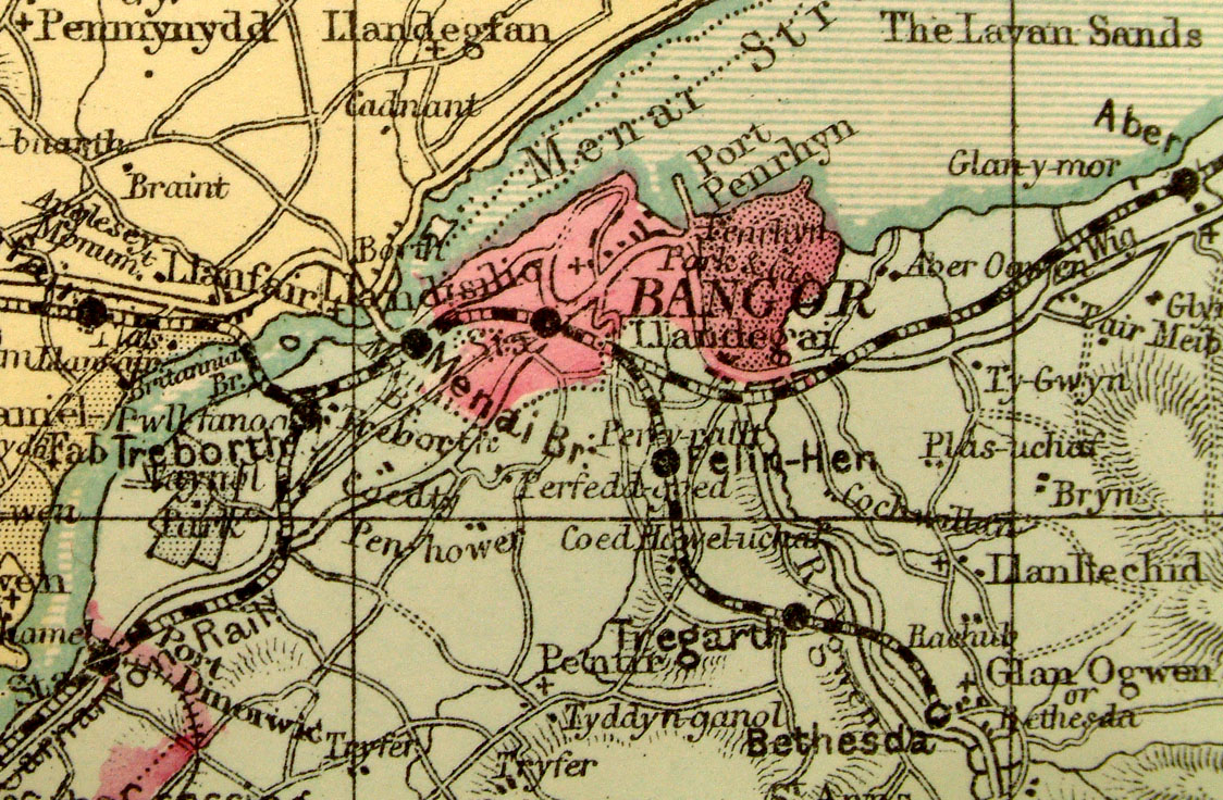
Menai Straits, Wales Collins
1693 size: 630 x 520 mm (North faces the bottom of the page) Antique Map Ref AAM136 £220.00 (+P&P) click image for enlargement Detail |
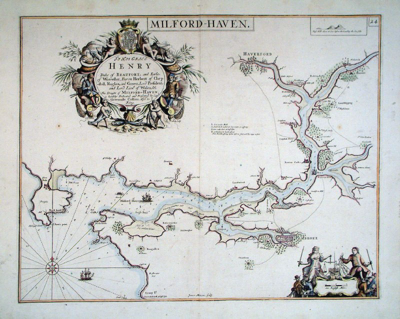 |
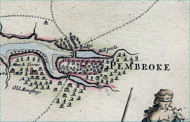
Milford Haven, Wales Collins
1693 size: 600 x 460 mm (North faces the bottom of the page) Antique Map Ref AAM134 £220.00 (+P&P) click image for enlargement Detail |
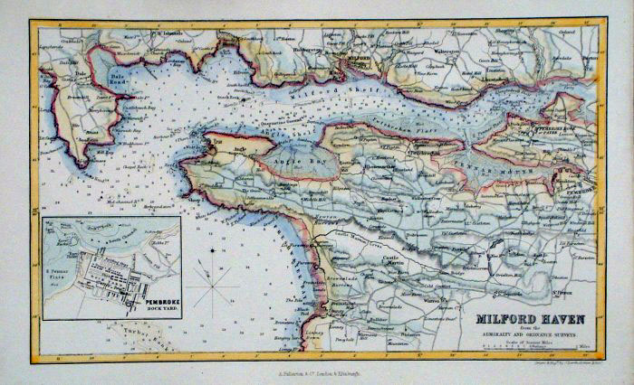 |
Milford Haven & Pembroke
Fullarton c1861 size: 250 x 150 mm Antique Map Ref GBM250 £16.00 (+P&P) click image for enlargement |
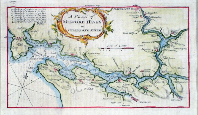 |
A Plan of Milford Haven in Pembroke Shire
London Magazine 1758 Copper engraving size: 200 x 120 mm Antique Map Ref KHM019 £25.00 (+P&P) click image for enlargement |
 |
Anglesea Owen /
Bowen 1720 size:
130 x 190 mm From 'Britannia Depicta' - P 50 Antique Map Ref FEM127 £28.00 (+P&P) click image for enlargement
|
 |
Anglesea Owen /
Bowen 1759 size:
130 x 190 mm From 'Britannia Depicta' - P 50 Antique Map Ref GDM025 £28.00 (+P&P) click image for enlargement
|
 |
Anglesea Leigh
1837 size: 80 x 130 mm Antique Map Ref GGM044 £16.00 (+P&P) click image for enlargement |
 |
Anglesea Leigh
1839 size: 80 x 130 mm Antique Map Ref JCM008 £16.00 (+P&P) click image for enlargement |
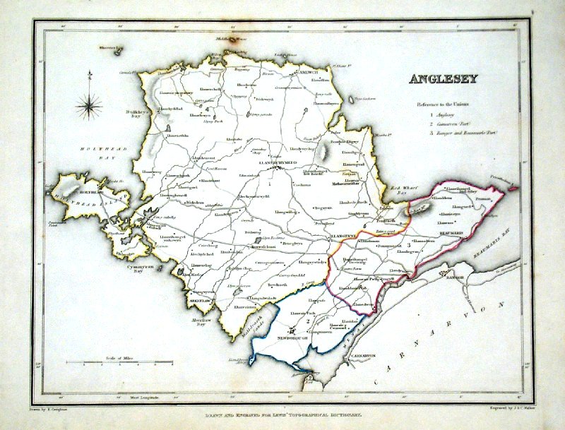 |
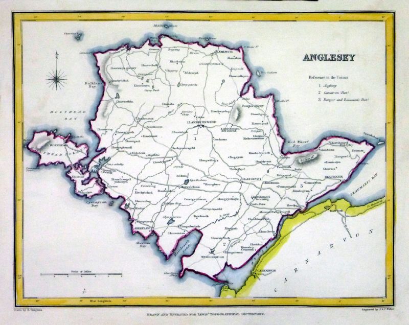
Anglesea Lewis
c1842 size: 250 x 190 mm Ref GHM069 £16.00 (+P&P) a few faint foxing spots, Original hand colour Ref NAM044 £16.00 (+P&P) Typical detail expected from this series of Lewis maps - D1, D2, D3 Details are not specifically from the map shown here. click image for enlargement |
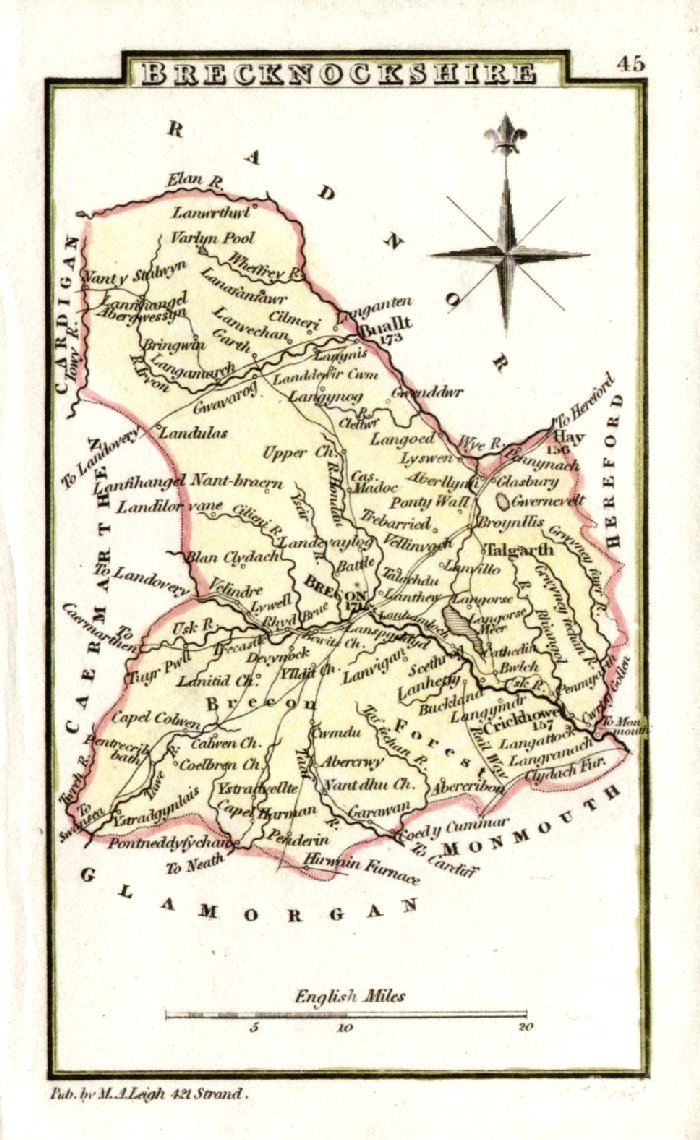 |
Brecknockshire Leigh
1837 size: 80 x 130 mm Antique Map Ref GGM045 £14.00 (+P&P) click image for enlargement |
 |
Brecknockshire Owen & Bowen from 'Britannia Depicta' - Page 163 Copper Engraving 1759 size: 130 x 190 mm Antique Map Ref GDM082 £20.00 (+P&P) click image for enlargement |
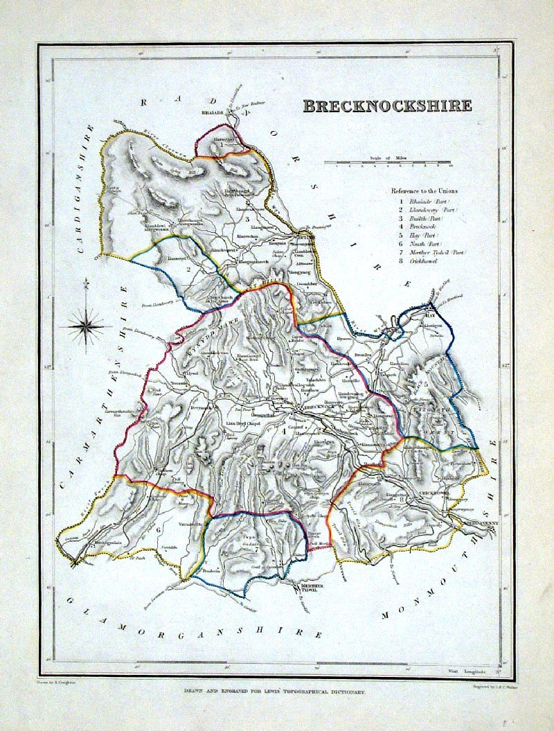 |
Brecknockshire Lewis
c1842 size: 250 x 190 mm Ref GHM072 £14.00 (+P&P) a few faint foxing spots, Original hand colour Ref NAM045 £14.00 (+P&P) Typical detail expected from this series of Lewis maps - D1, D2, D3 Details are not specifically from the map shown here. click image for enlargement |
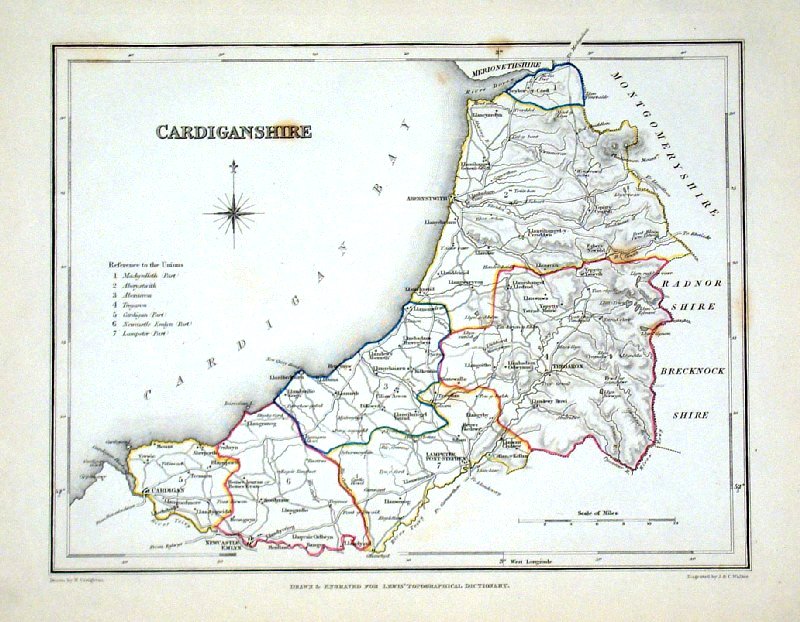 |
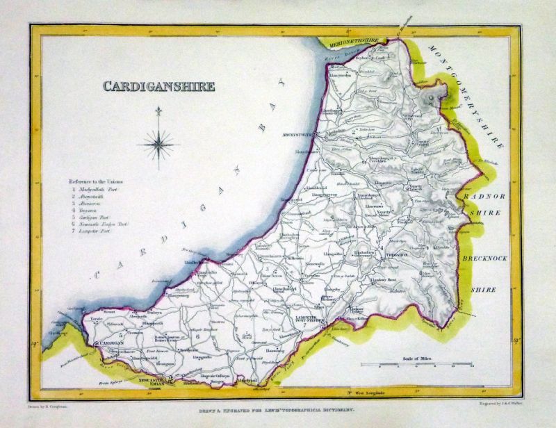
Cardiganshire Lewis
c1842 size: 250 x 190 mm Ref GHM075 £14.00 (+P&P) a few faint foxing spots, Original hand colour Ref NAM046 £14.00 (+P&P) Typical detail expected from this series of Lewis maps - D1, D2, D3 Details are not specifically from the map shown here. click image for enlargement |
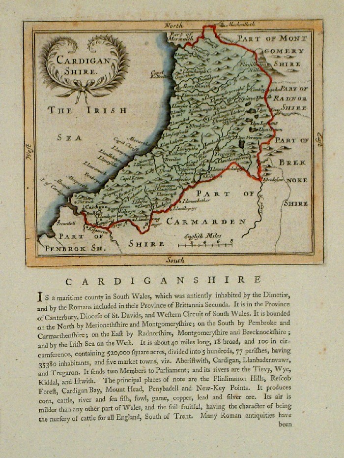 |
Cardiganshire Seller-
Grose 1787 size:
150 x 120 mm Antique Map Ref FDM050 £24.00 (+P&P) click image for enlargement |
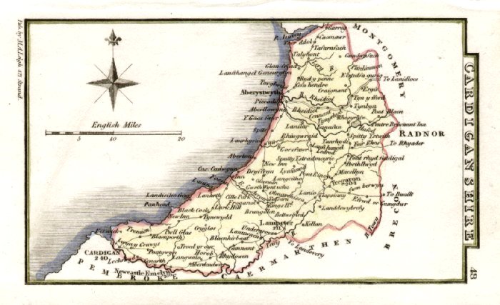 |
Cardiganshire Leigh
1837 size: 80 x 130 mm Antique Map Ref GGM048 £14.00 (+P&P) click image for enlargement |
 |
Carmarthenshire Owen & Bowen from 'Britannia Depicta' - Page 244 Copper Engraving 1759 size: 130 x 190 mm Antique Map Ref GDM122 £22.00 (+P&P) click image for enlargement |
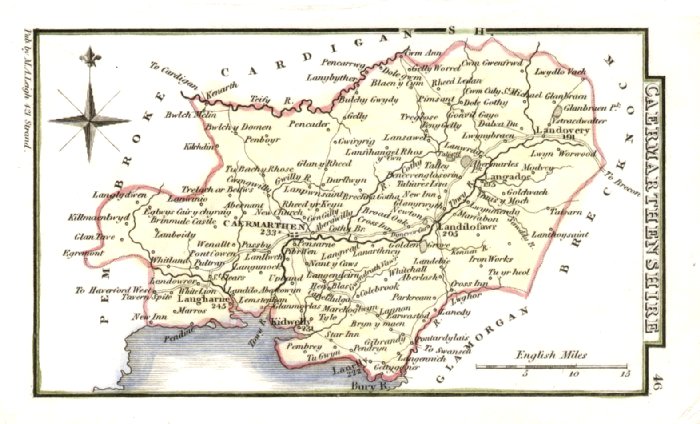 |
Carmarthenshire Leigh
1837 size: 80 x 130 mm Antique Map Ref GGM046 £14.00 (+P&P) click image for enlargement |
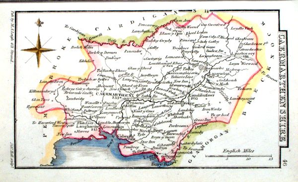 |
Caermarthenshire Leigh
1839 size: 80 x 130 mm Antique Map Ref JCM007 £14.00 (+P&P) click image for enlargement |
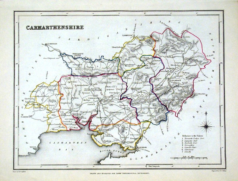 |
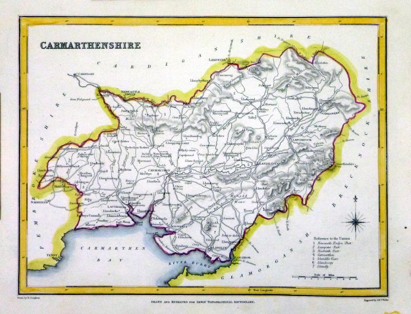
Carmarthenshire Lewis
c1842 size: 250 x 190 mm Ref GHM076 £14.00 (+P&P) Original hand colour Ref NAM047 £14.00 (+P&P) Typical detail expected from this series of Lewis maps - D1, D2, D3 Details are not specifically from the map shown here. click image for enlargement |
 |
Carnarvanshire Owen & Bowen from 'Britannia Depicta' - Page 233 Copper Engraving 1759 size: 130 x 190 mm Antique Map Ref GDM117 £24.00 (+P&P) click image for enlargement |
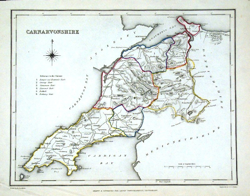 |
Carnarvonshire
Lewis c1842 size: 250 x 190 mm Ref GHM077 £14.00 (+P&P) minor crease in lower-left corner, Original hand colour Ref NAM048 £14.00 (+P&P) Typical detail expected from this series of Lewis maps - D1, D2, D3 Details are not specifically from the map shown here. click image for enlargement |
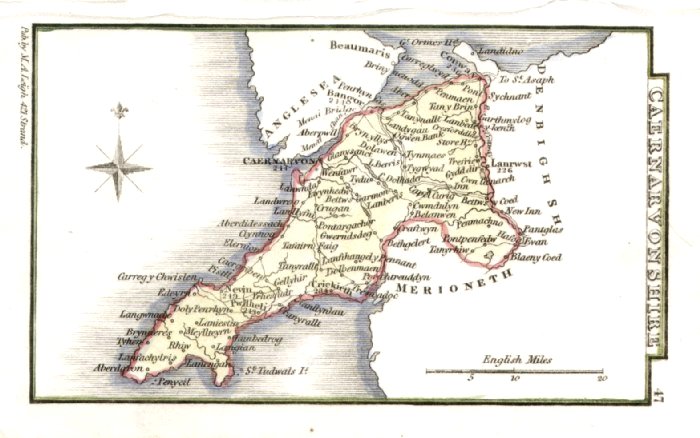 |
Caernarvonshire
Leigh 1837 size: 80 x 130 mm Antique Map Ref GGM047 £14.00 (+P&P) click image for enlargement |
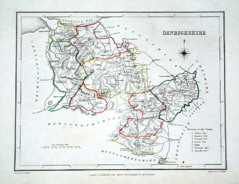 |
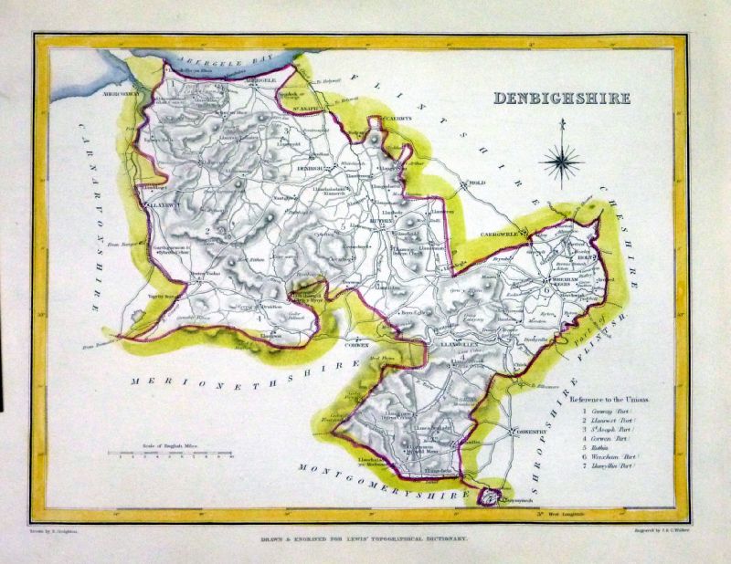
Denbighshire Lewis
c1842 size: 250 x 190 mm Ref GHM081 £14.00 (+P&P) Original hand colour Ref NAM049 £14.00 (+P&P) Typical detail expected from this series of Lewis maps - D1, D2, D3 Details are not specifically from the map shown here. click image for enlargement |
 |
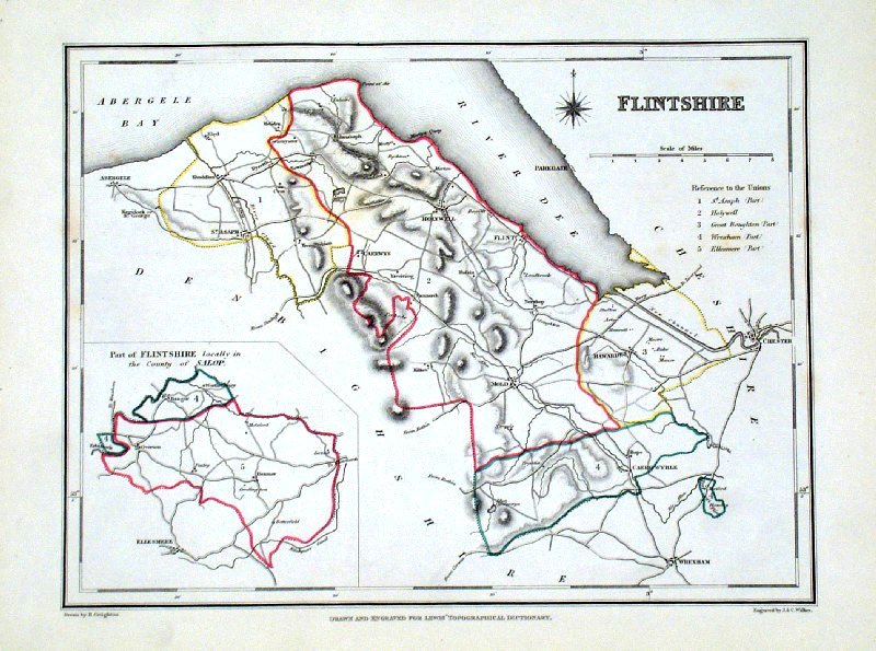
Flintshire Owen & Bowen from 'Britannia Depicta' - Page 265 Copper Engraving 1759 size: 130 x 190 mm Antique Map Ref GDM133 £24.00 (+P&P) click image for enlargement |
 |
Flintshire Leigh
1837 size: 80 x 130 mm Antique Map Ref GGM050 £16.00 (+P&P) click image for enlargement |
 |
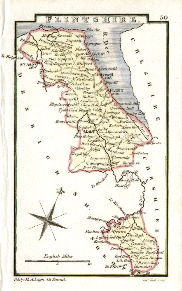
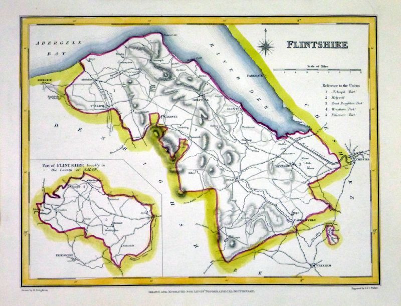
Flintshire Lewis
c1842 size: 250 x 190 mm Ref GHM087 £14.00 (+P&P) a few faint foxing spots, Original hand colour Ref NAM050 £14.00 (+P&P) Typical detail expected from this series of Lewis maps - D1, D2, D3 Details are not specifically from the map shown here. click image for enlargement |
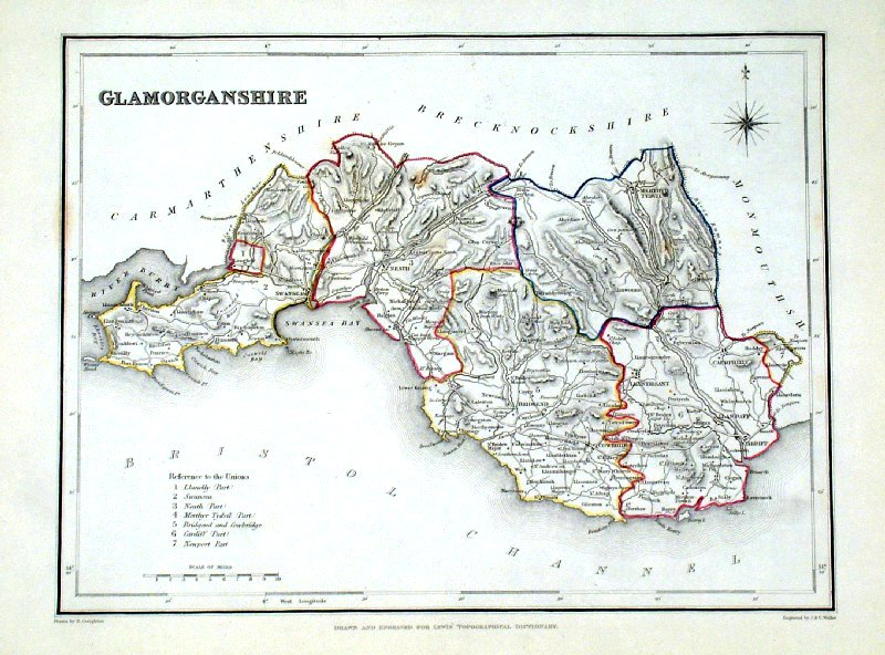 |
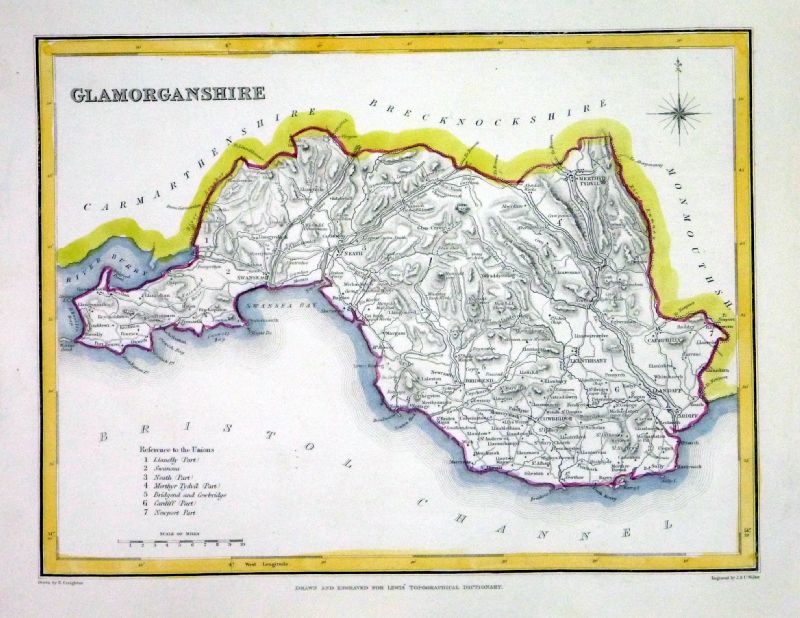
Glamorganshire Lewis
c1842 size: 250 x 190 mm Ref GHM088 £16.00 (+P&P) a few faint foxing spots, Original hand colour Ref NAM051 £14.00 (+P&P) Typical detail expected from this series of Lewis maps - D1, D2, D3 Details are not specifically from the map shown here. click image for enlargement |
 |
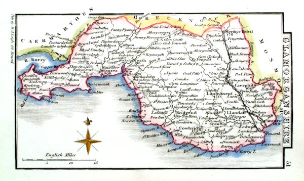
Glamorganshire Leigh
1837 size: 80 x 130 mm Antique Map Ref GGM051 £16.00 (+P&P) click image for enlargement |
 |
Glamorganshire Leigh
1839 size: 80 x 130 mm Antique Map Ref JCM006 £16.00 (+P&P) click image for enlargement |
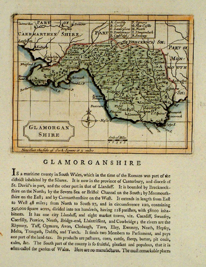 |
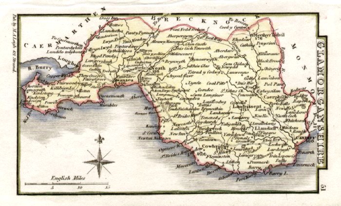
Glamorganshire Seller-
Grose 1787 size:
150 x 120 mm Antique Map Ref FDM049 £24.00 (+P&P) click image for enlargement |
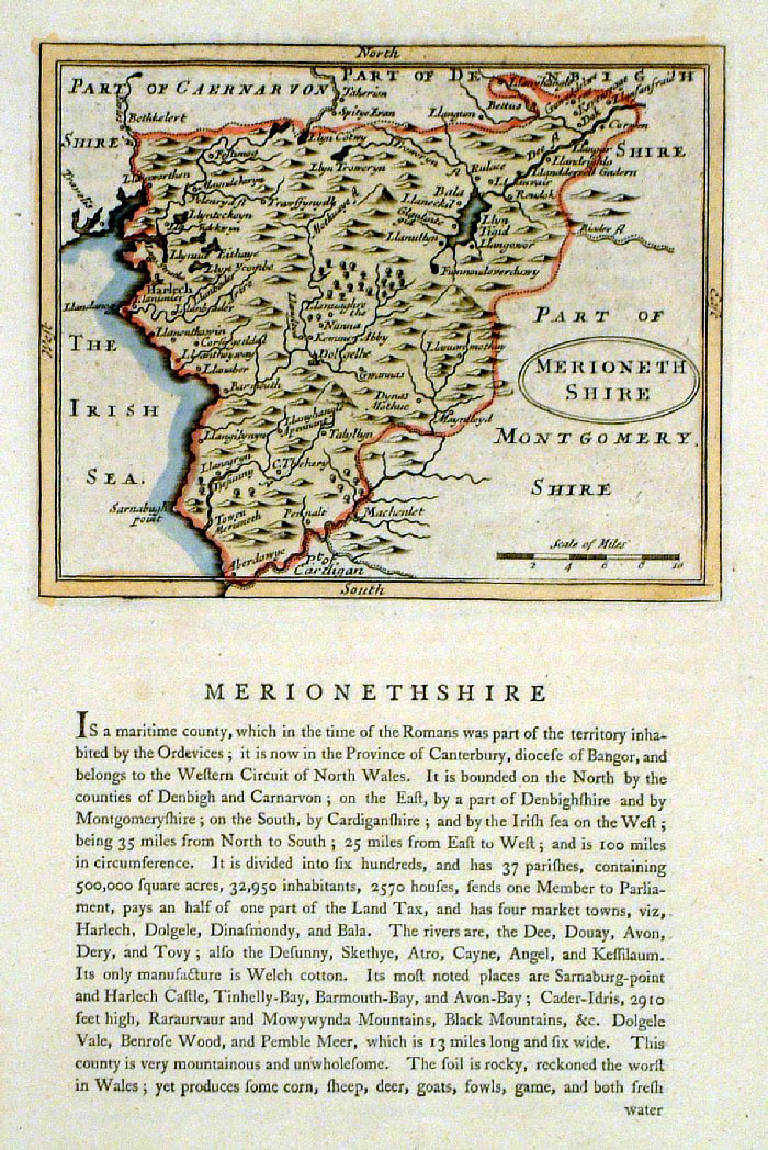 |
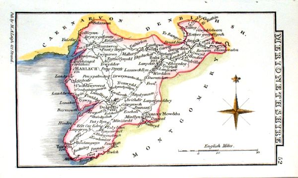
Merionethshire Seller-
Grose 1787 size:
150 x 120 mm Antique Map Ref FDM044 £24.00 (+P&P) click image for enlargement |
 |
Merionethshire Owen & Bowen from 'Britannia Depicta' - Page 109 Copper Engraving 1759 size: 130 x 190 mm Antique Map Ref GDM055 £20.00 (+P&P) click image for enlargement |
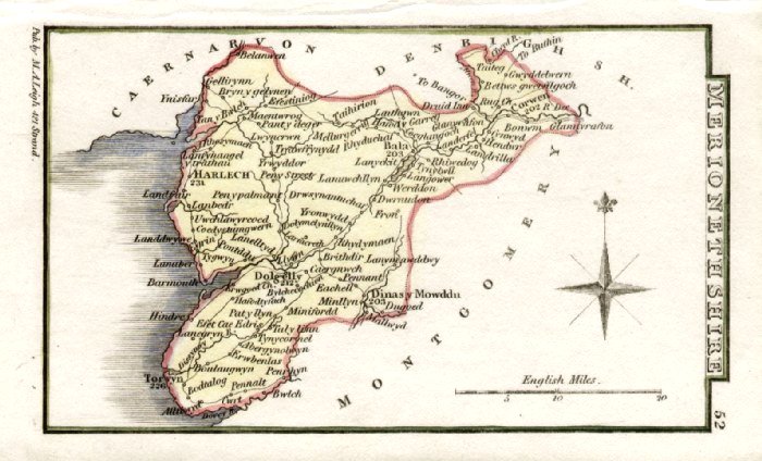 |
Merionethshire Leigh
1837 size: 80 x 130 mm Antique Map Ref GGM052 £14.00 (+P&P) click image for enlargement |
 |
Merionethshire Leigh
1839 size: 80 x 130 mm Antique Map Ref JCM005 £14.00 (+P&P) click image for enlargement |
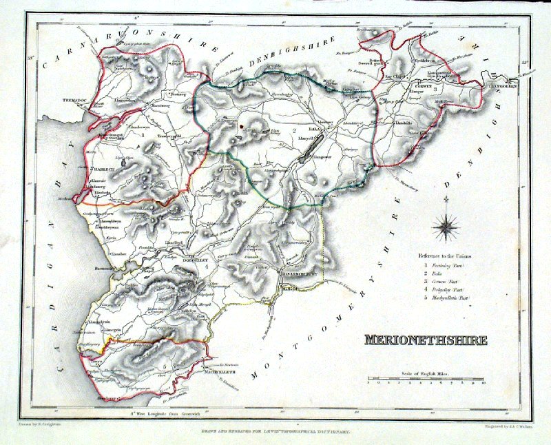 |
Merionethshire Lewis
c1842 size: 250 x 190 mm Ref GHM100 £14.00 (+P&P) a few faint foxing spots, Original hand colour Ref NAM052 £14.00 (+P&P) Typical detail expected from this series of Lewis maps - D1, D2, D3 Details are not specifically from the map shown here. click image for enlargement |
 |
Monmouthshire
Owen / Bowen 1720
size: 130 x 190 mm From 'Britannia Depicta' - P 203 Antique Map Ref FEM204 £26.00 (+P&P) click image for enlargement
|
 |
Monmouthshire Owen / Bowen
1759 size: 130 x
190 mm From 'Britannia Depicta' - P 203 Antique Map Ref GDM102 £26.00 (+P&P) click image for enlargement
|
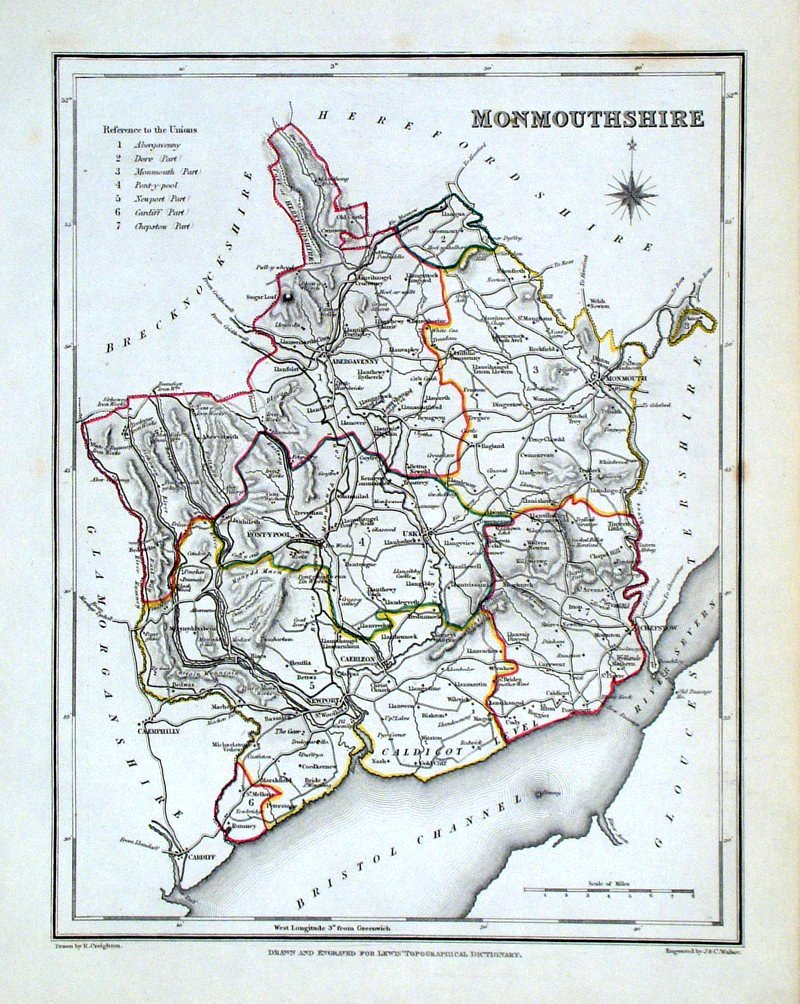 |
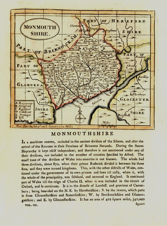
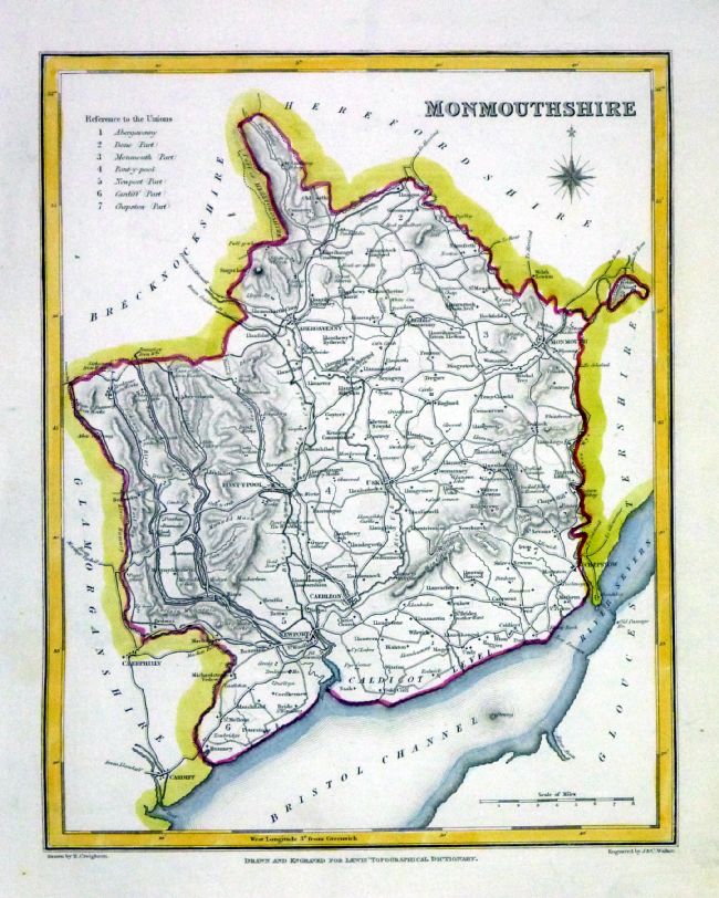
Monmouthshire Lewis
c1842 size: 250 x 190 mm Ref GHM102 £14.00 (+P&P) a few faint foxing spots, Original hand colour Ref NAM025 £14.00 (+P&P) Typical detail expected from this series of Lewis maps - D1, D2, D3 Details are not specifically from the map shown here. click image for enlargement |
 |
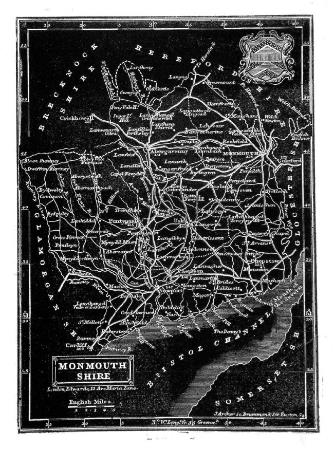
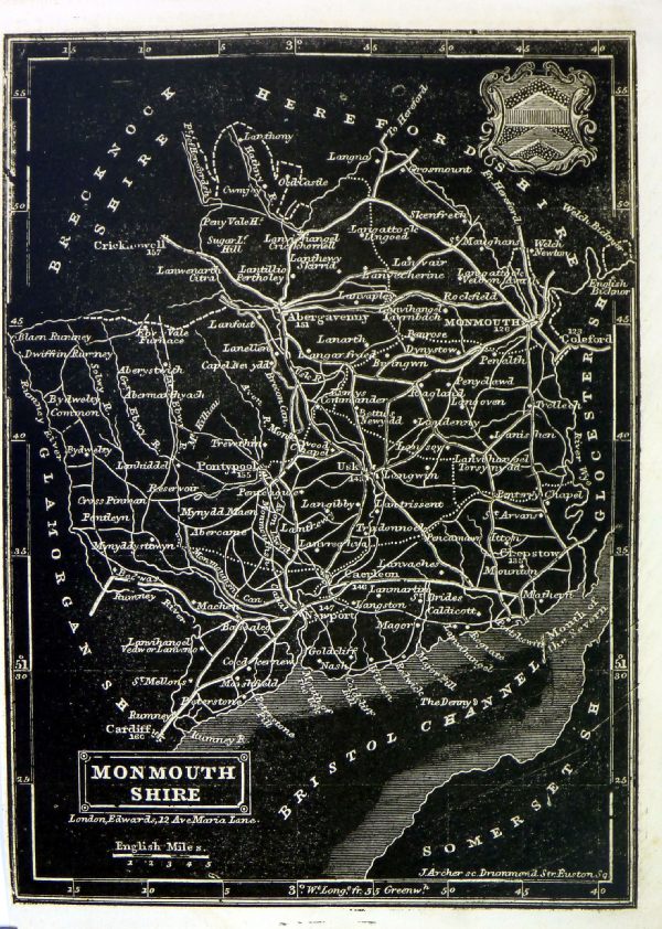
Monmouthshire
Cooper 1807 Rare edition dated August 1, 1807, prior to the popular Capper edition of 1808 'Published Aug 1 1807 by R. Phillips, Bridge Street, Blackfriars, London' Size: 190 x 120 mm Ref IFM025 £22.00 (+P&P) click image for enlargement |
 |
Monmouthshire
Capper
1808 Engraved
by Cooper for Benjamin Pitts Capper Size: 190 x 120 mm Antique Map Ref GDM201 £16.00 (+P&P) click image for enlargement |
 |
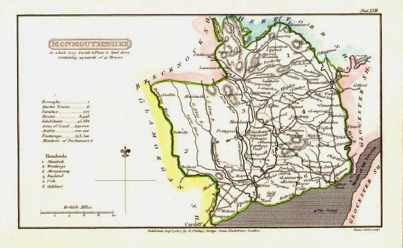
Monmouthshire Seller-
Grose 1787 size:
150 x 120 mm Antique Map Ref EKM012 £24.00 (+P&P) click image for enlargement |
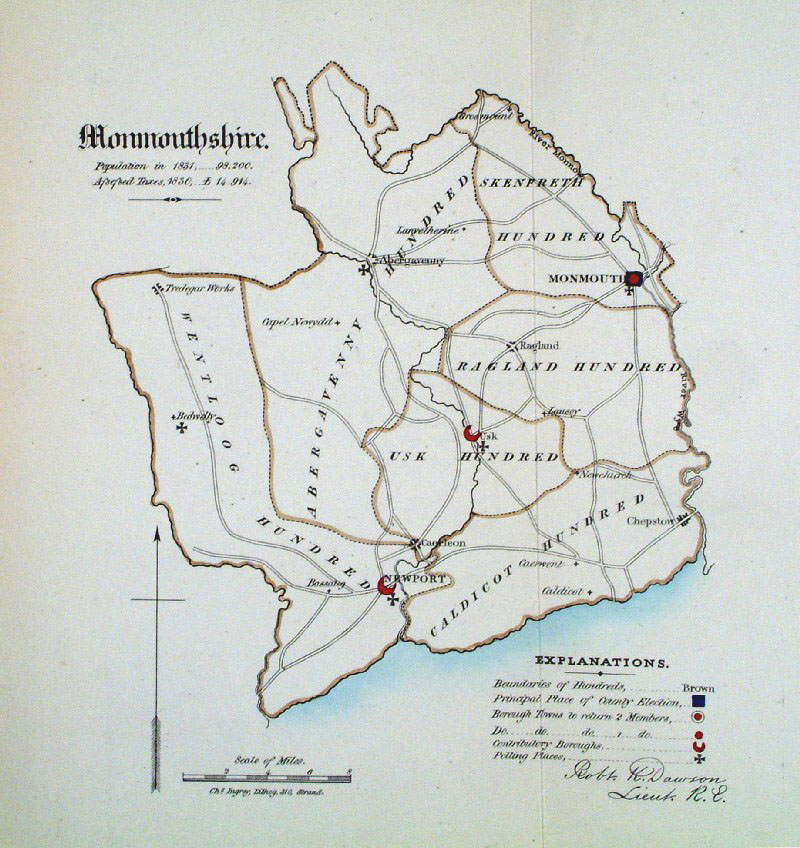 |
Monmouthshire
Dawson 1832 from Boundary
Commission Report size: 220 x 280 mm , 1 fold Antique Map Ref GEM011 £18.00 (+P&P) click image for enlargement |
 |
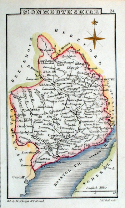
Monmouthshire Leigh
1837 size: 80 x 130 mm Antique Map Ref GGM024 £14.00 (+P&P) click image for enlargement |
 |
Monmouthshire Leigh
1839 size: 80 x 130 mm Antique Map Ref JCM009 £14.00 (+P&P) click image for enlargement |
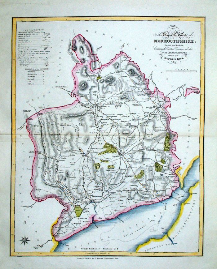 |
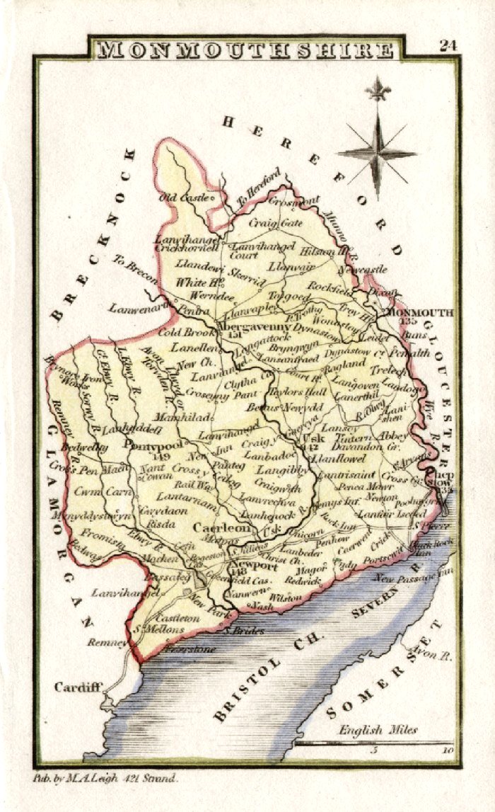
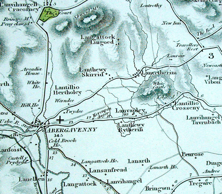
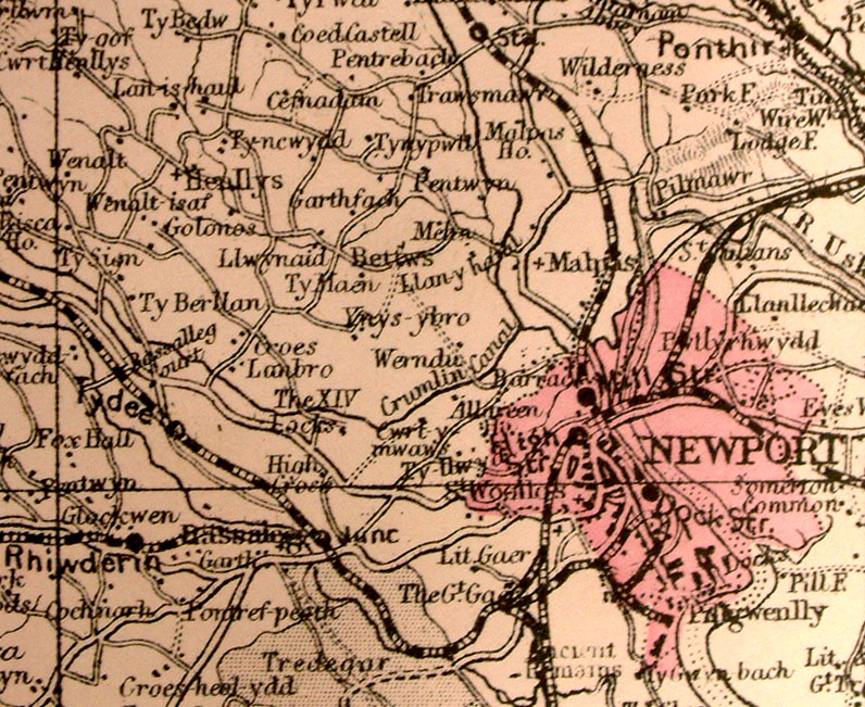
Monmouthshire
J. Duncan 1833 "Map of the County of Monmouthshire Divided into Hundreds Containing the District Divisions and other local arrangements effected by the Reform Bill" size: 370 x 460 mm, centre fold. Detail a few creases about the centrefold Ref LEM045 £22.00 (+P&P) click image for enlargement- apologies for optical distortion caused during photography. |
 |
Monmouthshire
Pinnock 1833 size: 180 x 250 mm Ref JDM022 £18.00 (+P&P) Ref MKM021 £16.00 (+P&P), tight left margin click image for enlargement |
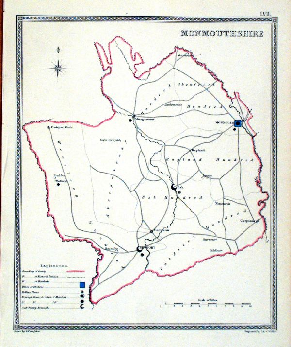 |
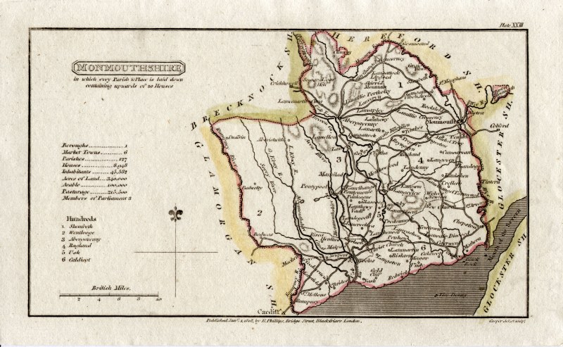
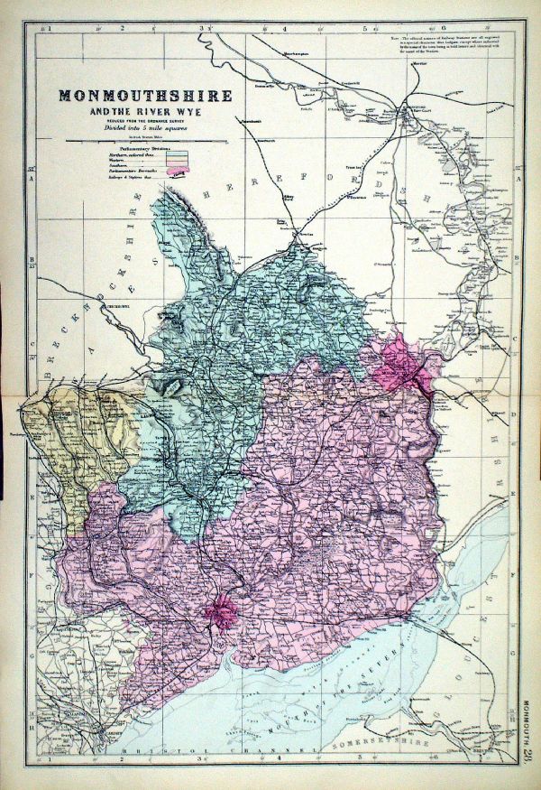
Monmouthshire
Depicting electoral divisions and polling places. Samuel Lewis 1835 engraved by J & C Walker Steel engraving Size: 200 x 250 mm, Original colouring of boundaries. Antique Map Ref KJM057 £16.00 (+P&P) click image for enlargement |
 |
Monmouth George Philip
1898 size: 220 x 180 mm, centre fold, original printed colour Antique Map Ref HHM027 £12.00 (+P&P) click image for enlargement |
 |
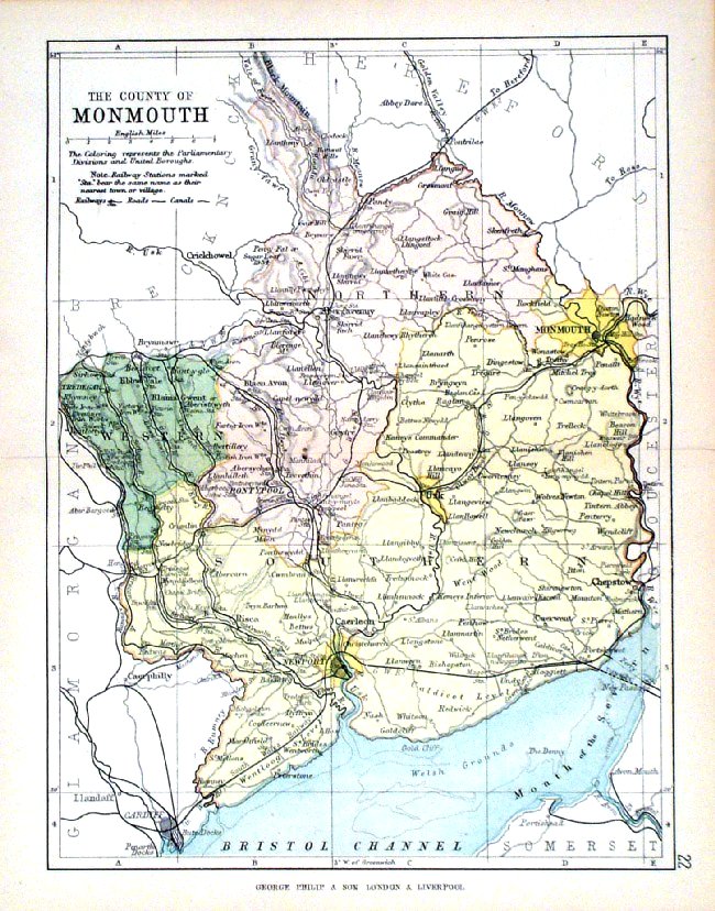
Monmouthshire From the New Large Scale Atlas of the British Isles by G.W. Bacon 1892 size: 330 x 480 mm, centre fold. Coloured to represent Parliamentary Divisions. Ref LHM126 £14.00 (+P&P) Detail click image for enlargement |
 |
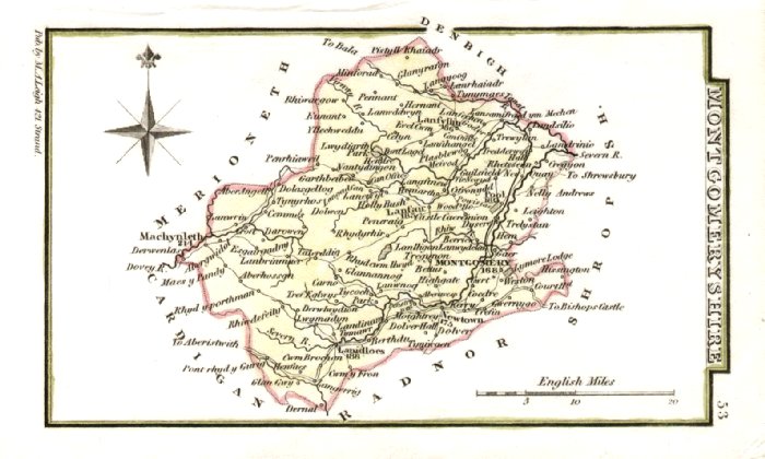
Montgomeryshire
Owen / Bowen 1720
size: 130 x 190 mm From 'Britannia Depicta' - P185 Antique Map Ref FEM195 £24.00 (+P&P) click image for enlargement
|
 |
Montgomeryshire Owen / Bowen
1759 size: 130 x
190 mm From 'Britannia Depicta' - P 185 Antique Map Ref GDM093 £24.00 (+P&P) click image for enlargement
|
 |
Montgomeryshire Leigh
1837 size: 80 x 130 mm Antique Map Ref GGM053 £14.00 (+P&P) click image for enlargement |
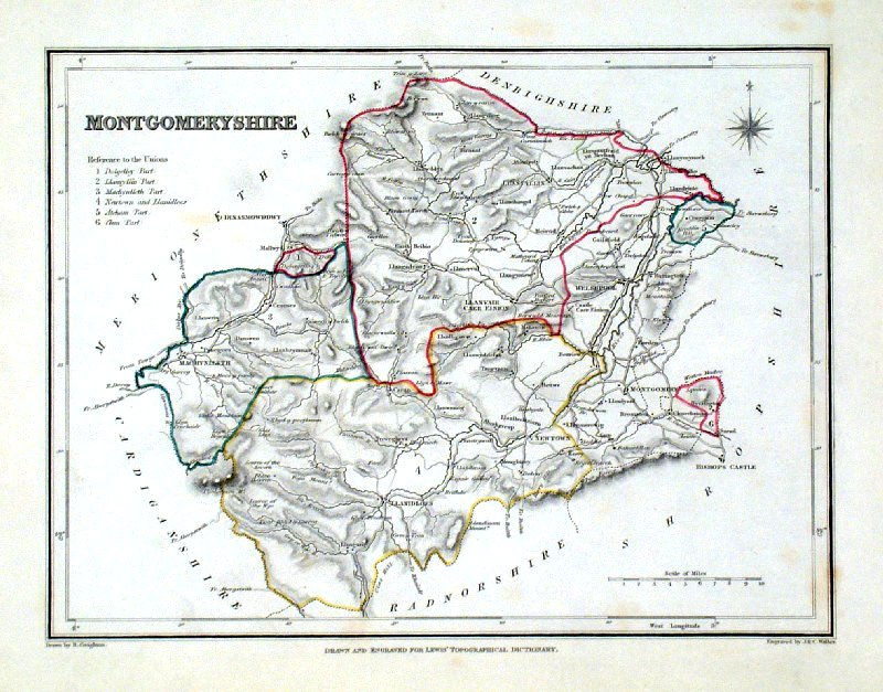 |
Montgomeryshire Lewis
c1842 Original hand colour size: 250 x 190 mm a few faint foxing spots Antique Map Ref GHM103 £14.00 (+P&P) click image for enlargement |
 |
Pembrokeshire Owen / Bowen
1759 size: 130 x
190 mm From 'Britannia Depicta' - P 171 Reverse: road map through St Davids, Newport, Cardigan Antique Map Ref GDM086 £24.00 (+P&P) click image for enlargement
|
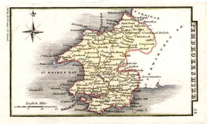 |
Pembrokeshire Leigh
1837 size: 80 x 130 mm Antique Map Ref GGM054 £16.00 (+P&P) click image for enlargement |
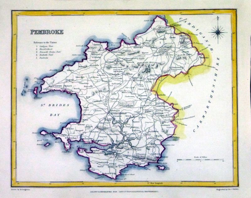 |
Pembroke
Samuel Lewis 1842 engraved by J & C Walker Steel engraving Size: 250 x 200 mm Antique Map Ref NAM054 £18.00 (+P&P) Typical detail expected from this series of Lewis maps - D1, D2, D3 Details are not specifically from the map shown here. click image for enlargement |
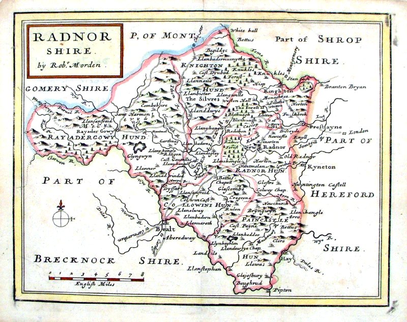 |
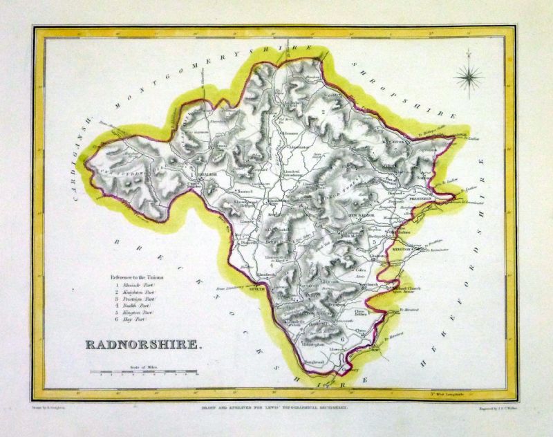
Radnorshire Morden 1701
size: 210 x 170 mm Antique Map Ref HCM016 £38.00 (+P&P) click image for enlargement |
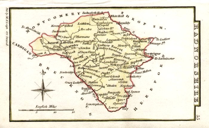 |
Radnorshire Leigh
1837 size: 80 x 130 mm Antique Map Ref GGM055 £14.00 (+P&P) click image for enlargement |
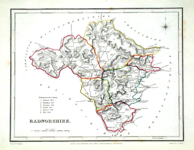 |
Radnorshire Lewis
c1842 size: 250 x 190 mm Ref GHM110 £14.00 (+P&P) a few faint foxing spots, Original hand colour Ref NAM055 £14.00 (+P&P) Typical detail expected from this series of Lewis maps - D1, D2, D3 Details are not specifically from the map shown here. click image for enlargement |
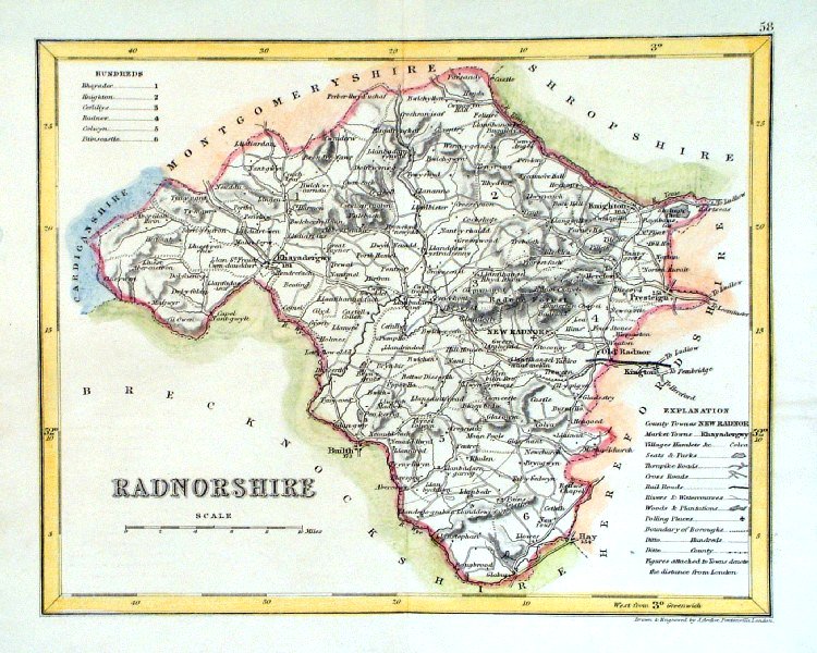 |
Radnorshire
Archer c1840 size:250 x 180 mm Antique Map Ref GIM002 £12.00 (+P&P) click image for enlargement |
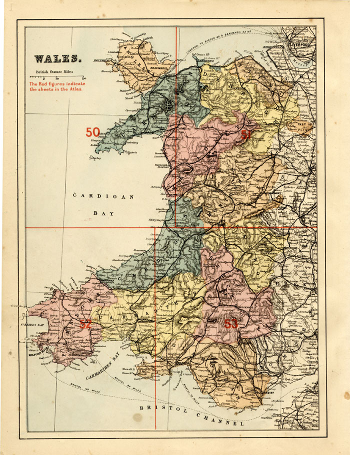 |
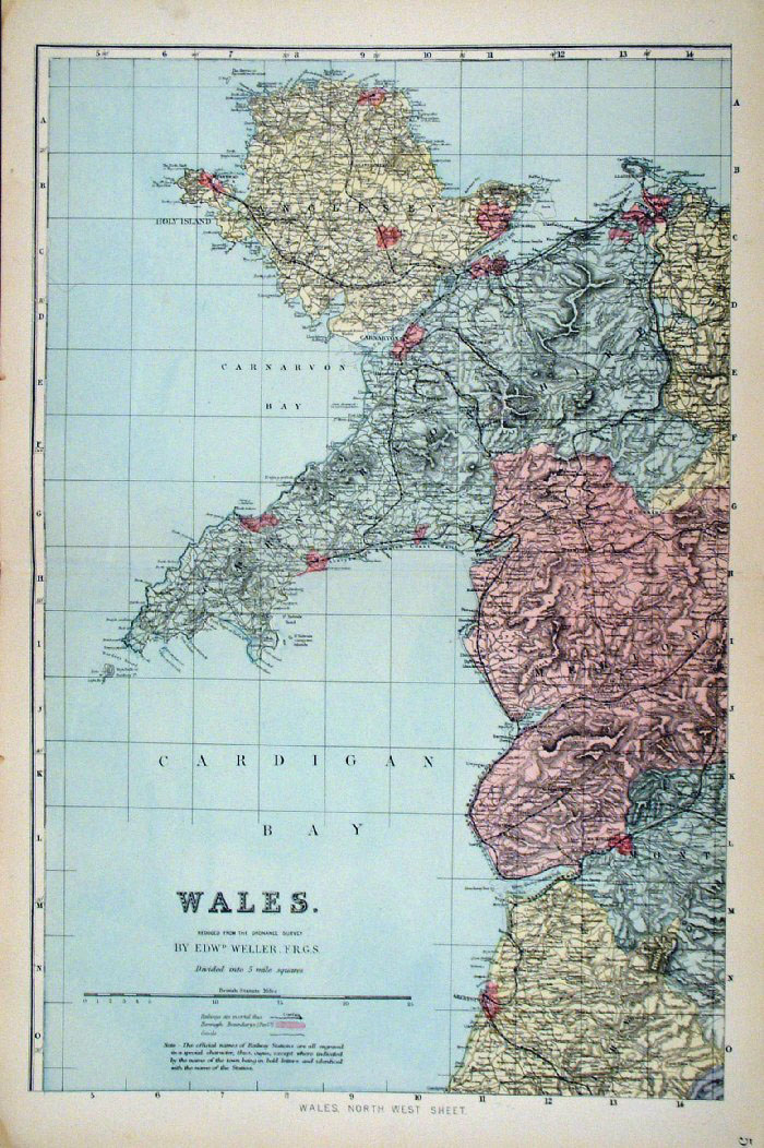
Wales - 5 sheets
Bacon c1883
size: 500 x 320 mm Sheet 1 - master plan (illustrated left) Sheets 2 - 4 sectional maps of NE, NW, SE, SW Antique Map Ref FLM085 (all 5 sheets) £35.00 (+P&P) click image for enlargement |
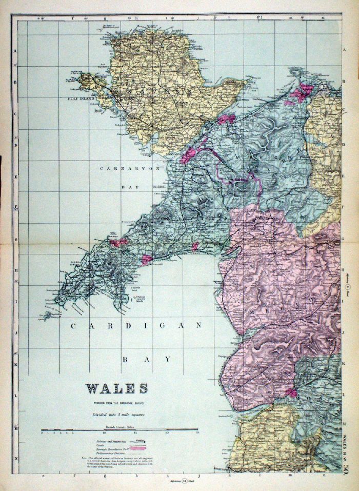 |
Wales in 4
sheets From the New Large Scale Atlas of the British Isles by G.W. Bacon 1892 each sheet: size: 340 x 450 mm, centre fold Ref LHM110 (all four sheets - will not split) £35.00 (+P&P) Detail click image for enlargement |
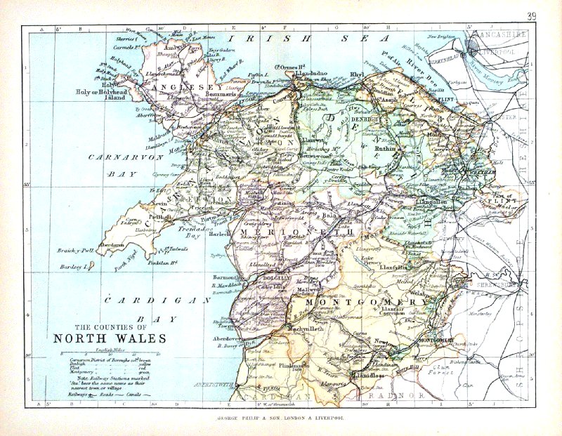 |
North Wales George Philip
1898 size: 220 x 180 mm, centre fold, original printed colour Antique Map Ref HHM044 £12.00 (+P&P) click image for enlargement |
| All Genuine Antiquarian
Maps - No Reproductions or Modern Copies Link to Prints of Wales |
2023