Past Pages
Antique Maps, Prints and Ephemera
Antique Maps of Europe - France
French Colonies at the bottom of the page.For regional maps and maps by Victor Levasseur follow the links below
France - Country & Colonies.French Colonies at bottom of page.Arranged alphabetically |
|
 |
Link to Department Maps by Victor Levasseur 1854 and 1865 |
 |
Link to Regional Maps of Northern France,
Belgium ... by Beaulieu 1676 |
| Link to Regional,
City and Department Maps |
|
 |
Ancient Southern
France from De Situ Orbis by Pomponius Mela. Published by Philippum Bishop, Exeter, 1711 Copper engraving size 270 x 200 mm, centre fold Decorative cartouche contains the name of the sponsor/patron of this map. Ref PDM016 £35.00 (+P&P) click image for enlargement |
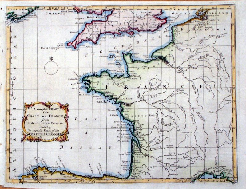 |
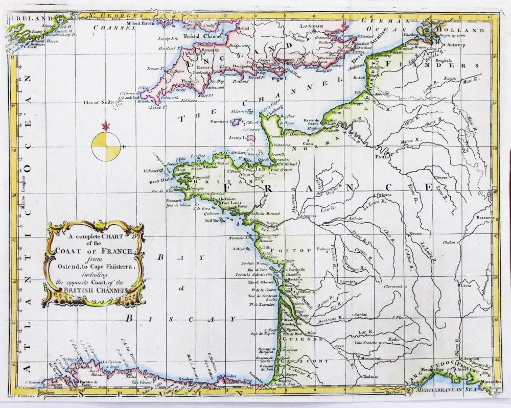
A Complete Chart of the Coast of France from
Ostend to Cape Finesterra, including the opposite Coast of the British Channel Gentlemans Magazine 1758 Copper Engraving size 270 x 210 mm, centre fold Ref KCM001 £45.00 (+P&P) Ref PFM003 £45.00 (+P&P) click image for enlargement |
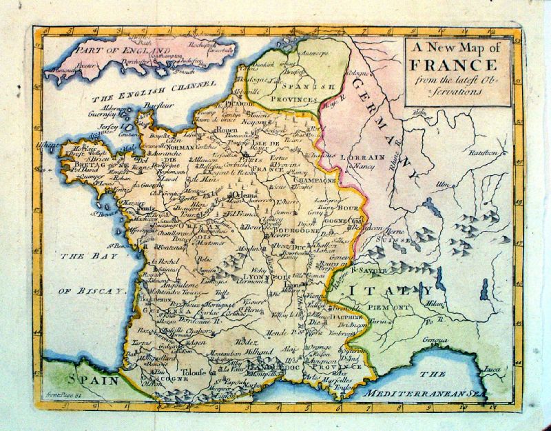 |
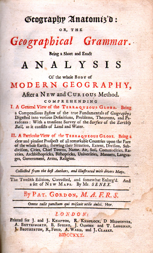
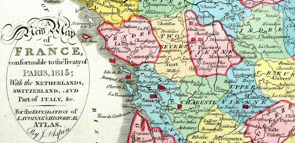
A New Map of France
from the Latest Observations John Sennex 1730 From Gordon's Geography - view Title Page Copper engraving. size: 190 x 170 mm, 2 folds Antique Map Ref LFM005 £25.00 (+P&P) click image for enlargement |
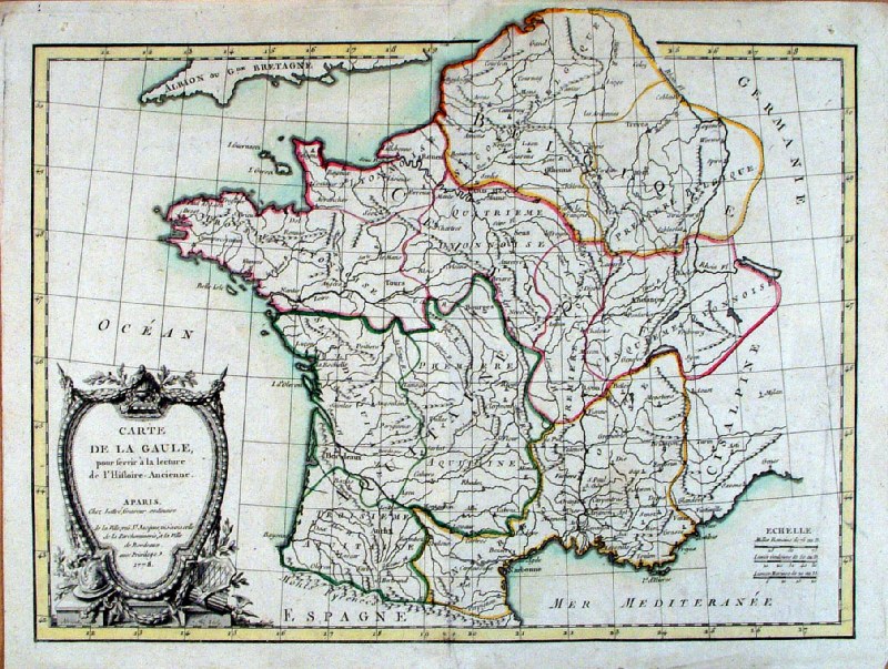 |
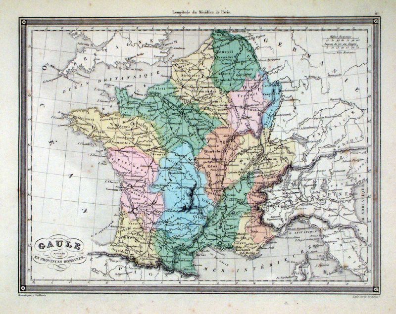
Carte de la Gaule
Lattre / Bonne 1778
Copper Engraving size 430 x 330 mm, centre fold publ; Lattre / Delalain 1778 original hand colour, a few minor creases Ref HFM014 £45.00 (+P&P) click image for enlargement |
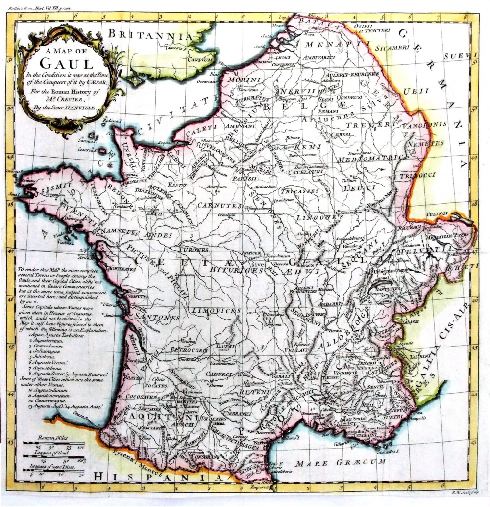 |
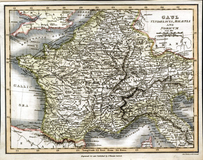
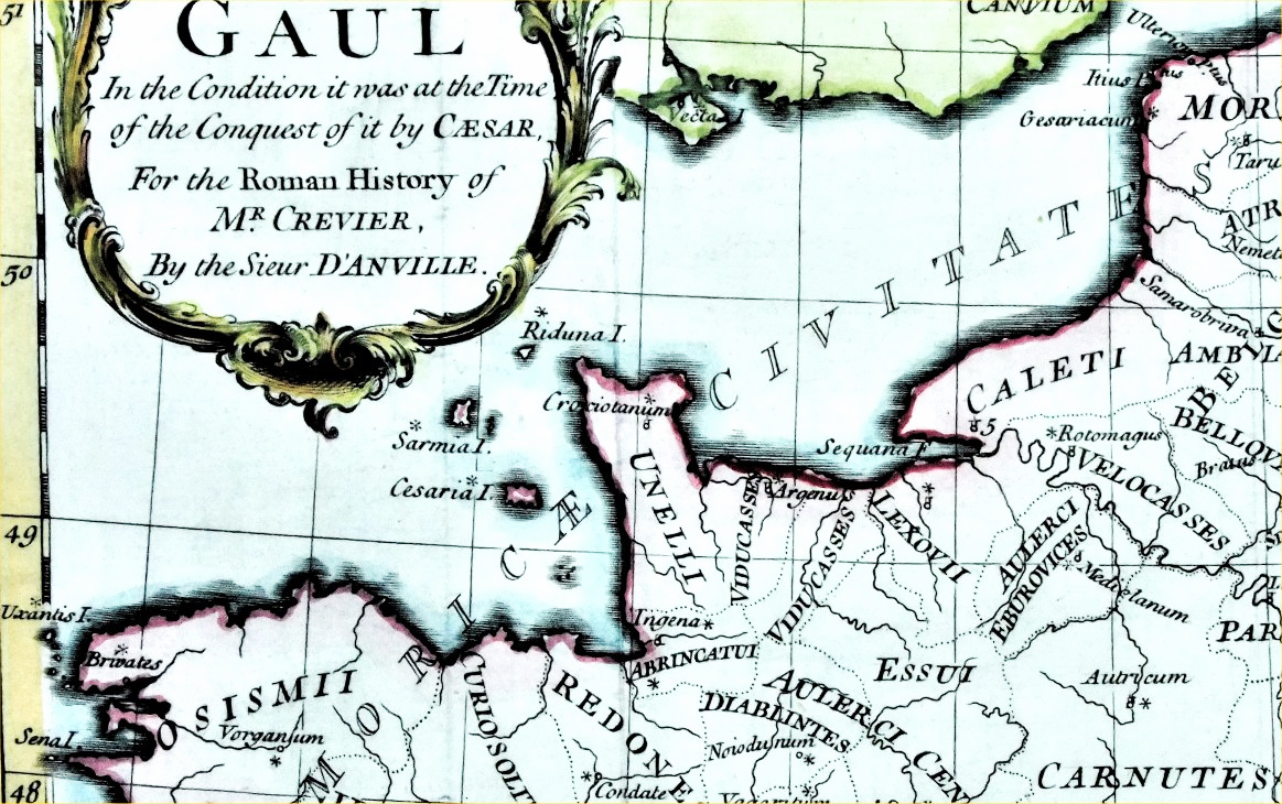
A Map of Gaul In the
condition it was at the time of the conquest by Caesar D'Anville / Crevier - Rollin's Roman History engraved by Richard Seale c1760 Copper engraving. size 330 x 320 mm, several folds, small repair to split at fold. Ref PGM025 £40.00 (+P&P) Detail click image for enlargement |
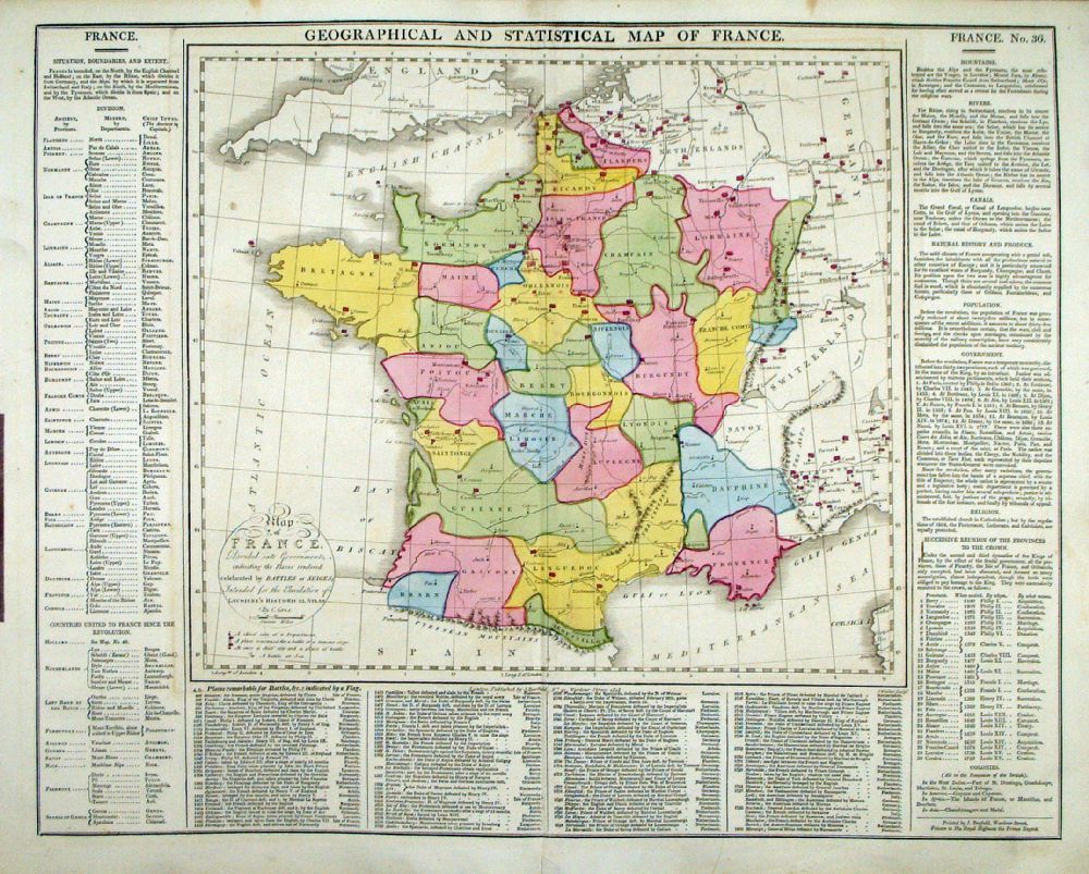 |
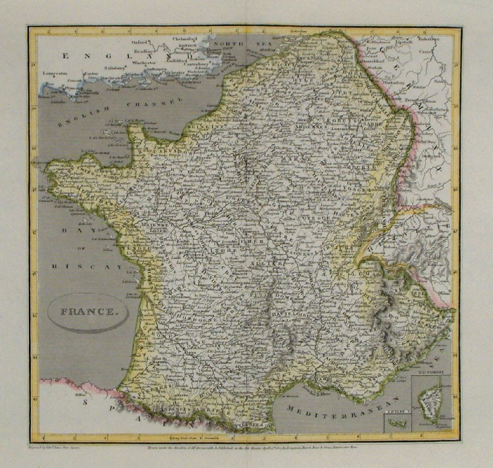
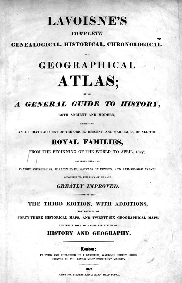
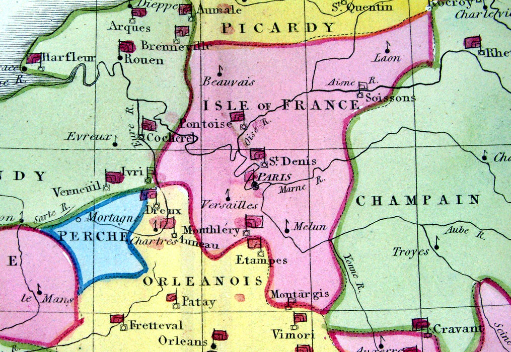
Geographical and
Statistical Map of France Map engraved by J. Walker. Set with statistical data. From Lavoisne's Genealogical, Historical, Chronological and Geographical Atlas 1827 - Title Page For Statistics Tables and Charts from this atlas see Charts and Tables Page Copper engraving page size: 530 x 420 mm, centre fold. Ref LHM039 £30.00 (+P&P) Detail click image for enlargement |
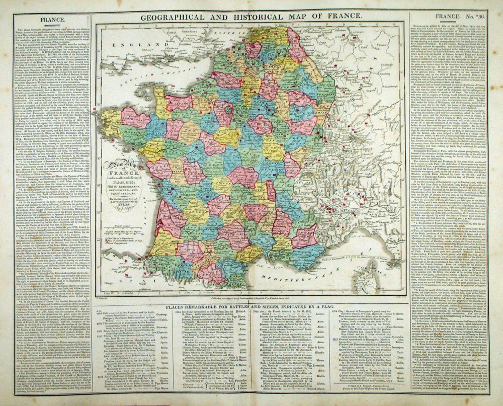 |
Geographical and
Historical Map of France Map engraved by J. Walker. Set with statistical data. From Lavoisne's Genealogical, Historical, Chronological and Geographical Atlas 1827 - Title Page For Statistics Tables and Charts from this atlas see Charts and Tables Page Copper engraving page size: 530 x 420 mm, centre fold. Ref LHM040 £30.00 (+P&P) Detail click image for enlargement |
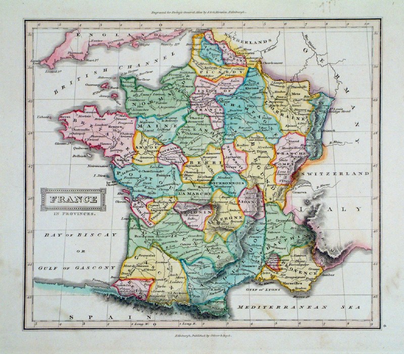 |
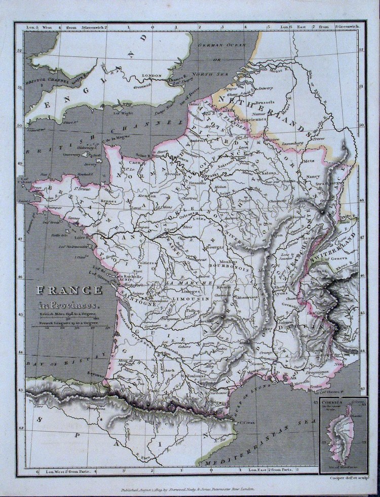
France in Provinces Ewing / Oliver
& Boyd c1830 size 220 x 200 mm Ref GJM023 £18.00 (+P&P) click image for enlargement |
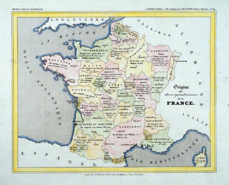 |
'Origine des divers agrandissemens de la
France' size 250 x 210 mm Ref IAM001 £15.00 (+P&P) click image for enlargement |
 |
France Tyrer / Souter 1838 size: 360 x 280 mm centre fold Ref JLM023 £15.00 (+P&P) click image for enlargement |
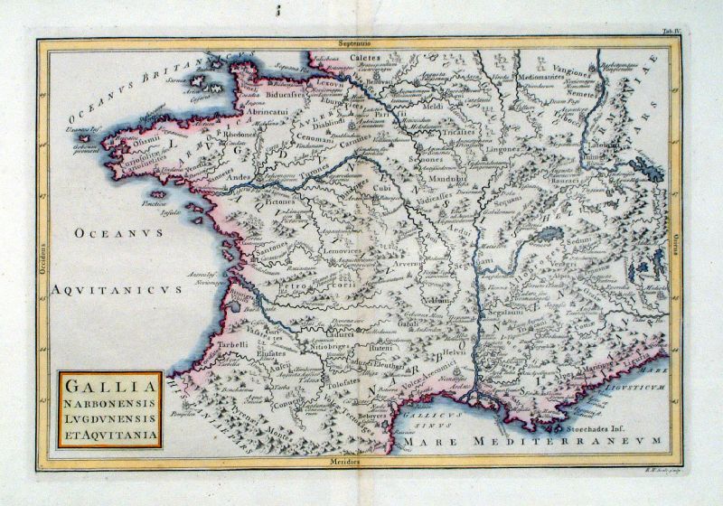 |
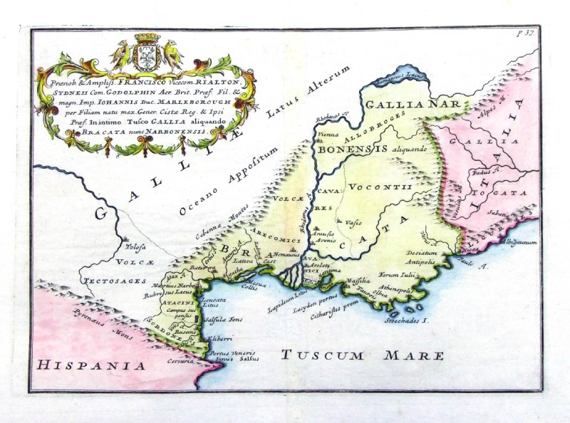
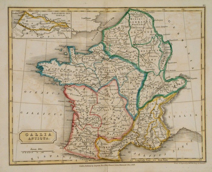
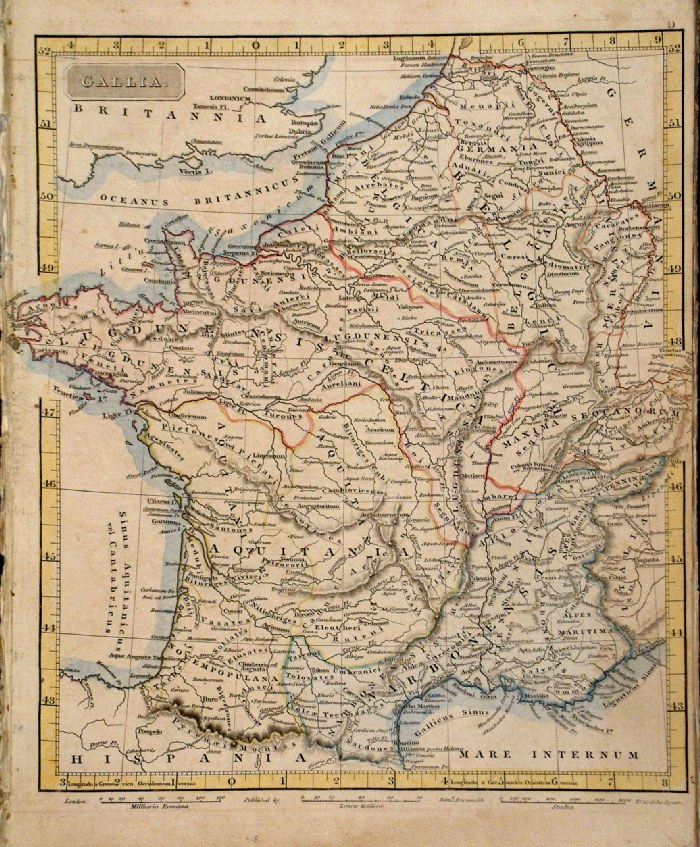
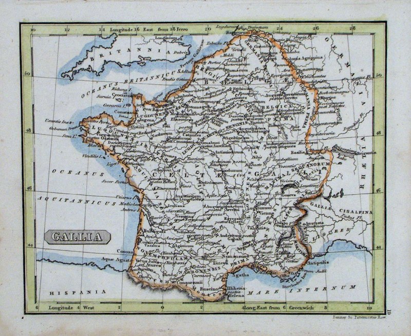
Gallia Narbonensis Lugdunensis et
Aquitania Richard Seale Raw/Rivington 1796 Copper engraving size: 330 x 220 mm, centre fold Ref JKM077 £20.00 (+P&P) click image for enlargement |
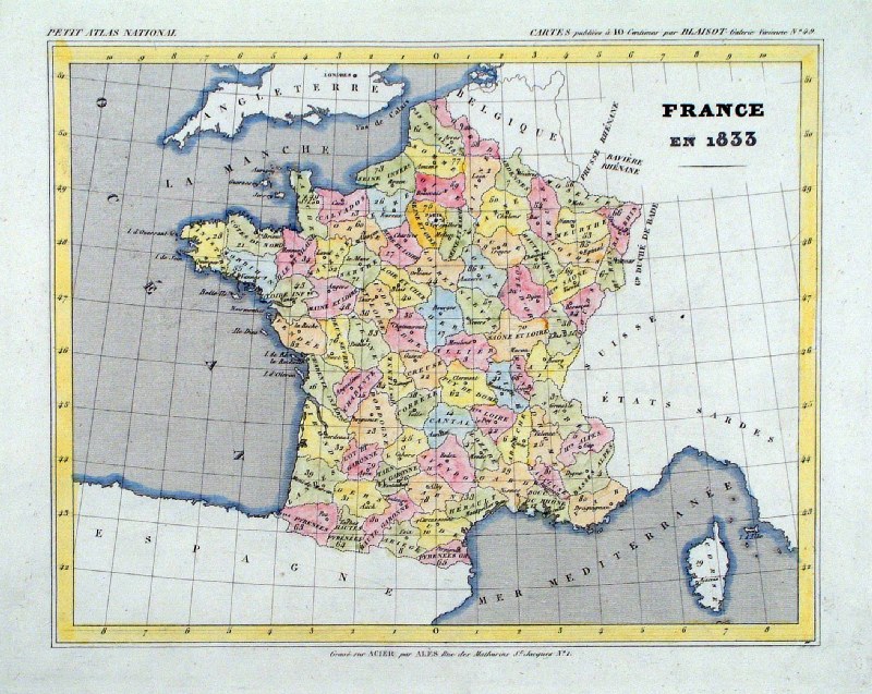 |
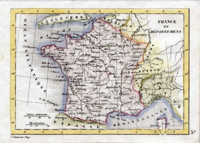
France en 1833
Monin 1833
Monin 1833 size 250 x 210 mm Ref IAM002 £18.00 (+P&P) click image for enlargement |
|
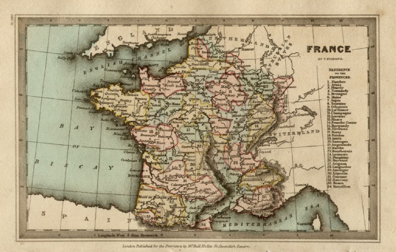
France Thomas
Starling 1843 size: 150 x 95 mm Ref GBM294 £18.00 (+P&P) click image for enlargement |
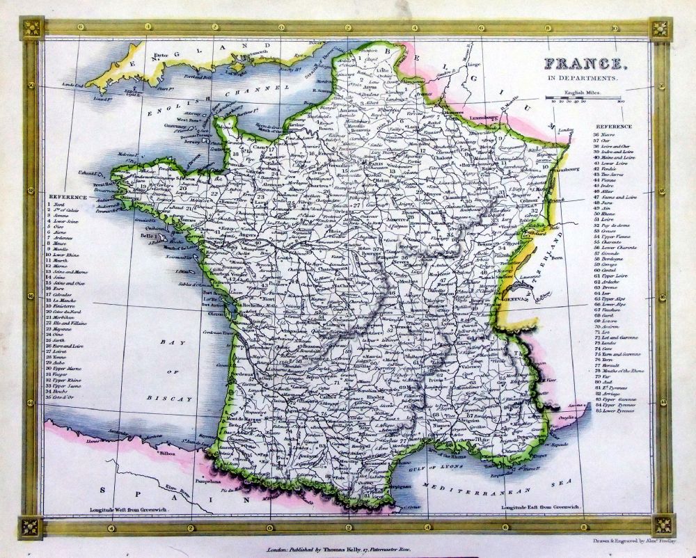 |
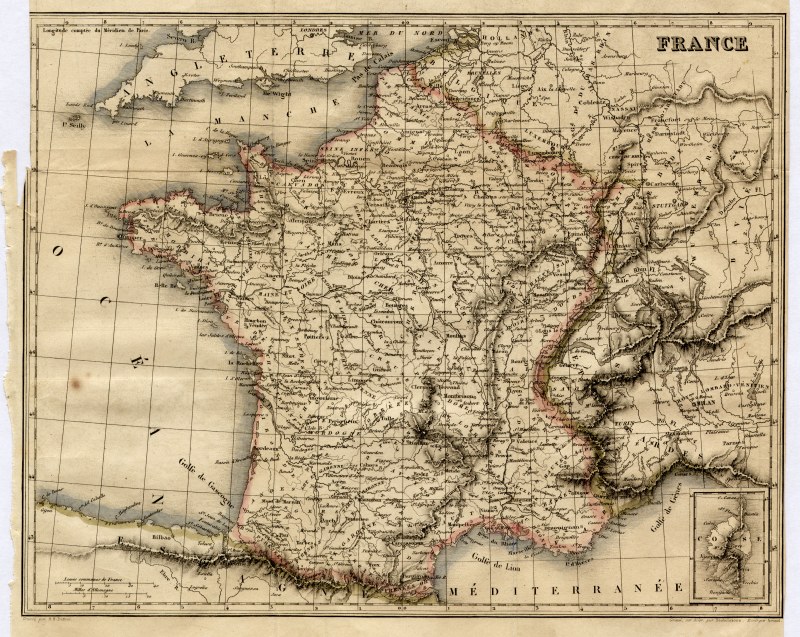
France
Thomas Kelly
1841 engraved by Alex Findlay size: 200x 260 mm Ref OHM003 £16.00 (+P&P) click image for enlargement |
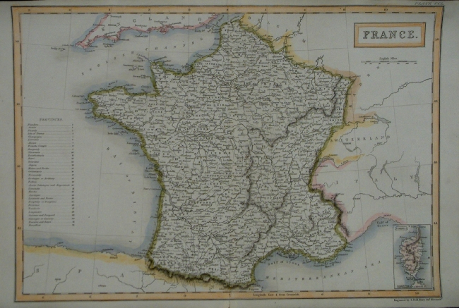 |
France Sidney Hall
1842
size 400 x 270 mm Ref EKM061 % £25.00 (+P&P) click image for enlargement |
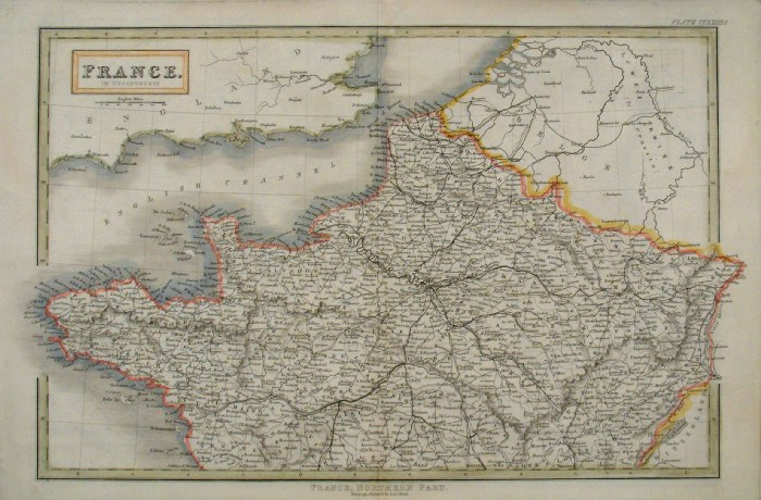 |
France - North Sidney
Hall
c1840
size 400 x 270 mm Ref EKM119 % £22.00 (+P&P) click image for enlargement |
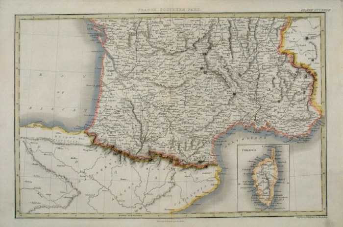 |
France - South Sidney
Hall
c1840
size 400 x 270 mm Ref EKM120 % £22.00 (+P&P) click image for enlargement |
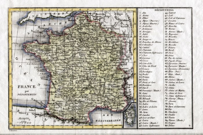 |
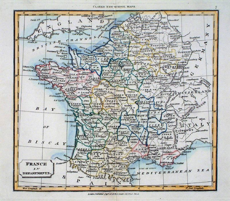
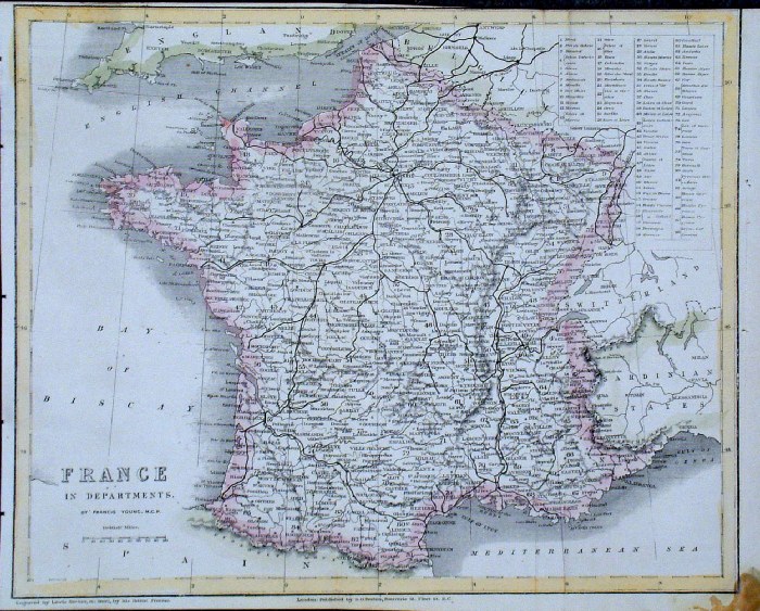
France in Departments
Tardieu c1835 size: 200 x 130 mm Ref HAM120 £18.00 (+P&P) click image for enlargement |
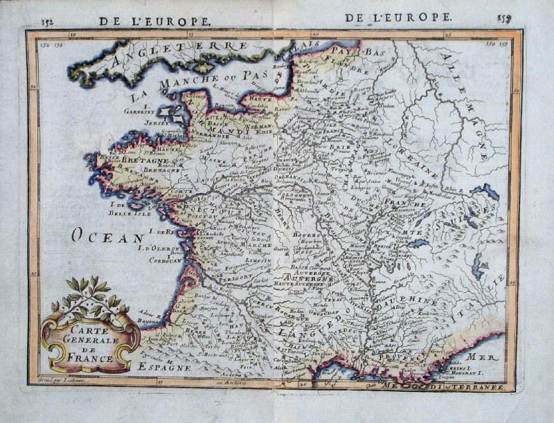 |
France
Alain Mallet c1685
Carte Generale de France size 220 x 180 mm (2 pages joined) Ref GHM023 £28.00 (+P&P) click image for enlargement |
 |
France
Barlow / Brightly 1806 Original colour size: 220 x 200 mm Slightly soiled surface condition Ref FIM049 £16.00 (+P&P) click image for enlargement |
 |
France
Chambers
1855
size: 300x 240 mm Ref FDM132 % £12.00 (+P&P) click image for enlargement |
 |
France Mackenzie
1868 Ref FBM018 % £10.00 (+P&P) size: 260 x 340 mm Strengthened centrefold. Discolouration on centrefold (not as severe as illustrated!) click image for enlargement |
 |
Ancient France (Gaul) Sidney
Hall 1829 Ref FIM004 % £12.00 (+P&P) size: 250 x190 mm Slight printing transfer from folded page. click image for enlargement |
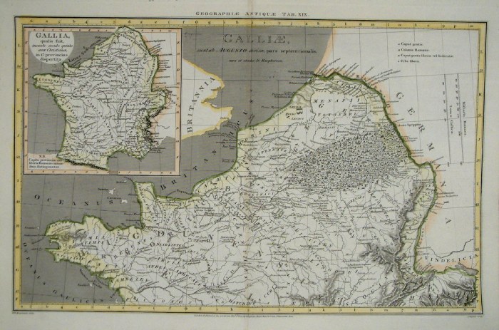 |
Ancient North France Russell /
Arrowsmith 1807
size: 410x 260 mm Centre Fold Ref FIM115 % £16.00 (+P&P) click image for enlargement |
 |
France
Jones / Arrowsmith 1807
size: 280x 260 mm Centre Fold Ref FIM074 % £18.00 (+P&P) click image for enlargement |
 |
France in Departments V. Levasseur
c1835 size: 130 x 100 mm Ref HAM063 £16.00 (+P&P) click image for enlargement |
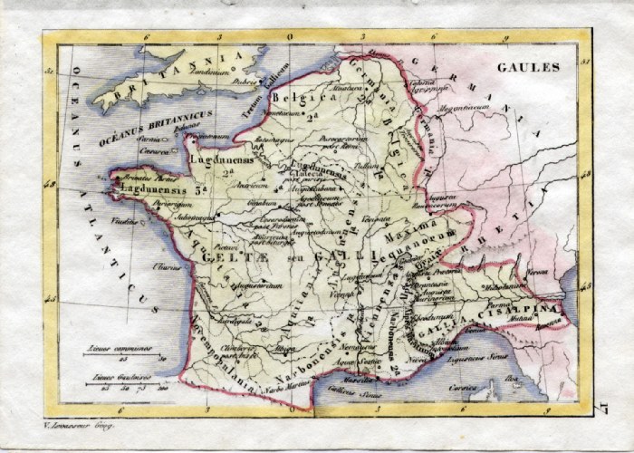 |
Ancient France - Gaul V. Levasseur
c1835 size: 130 x 100 mm Ref HAM049 £16.00 (+P&P) click image for enlargement |
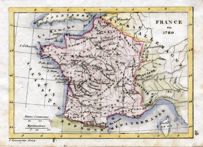 |
France in 1789 V. Levasseur
c1835 size: 130 x 100 mm Ref HAM060 £16.00 (+P&P) click image for enlargement |
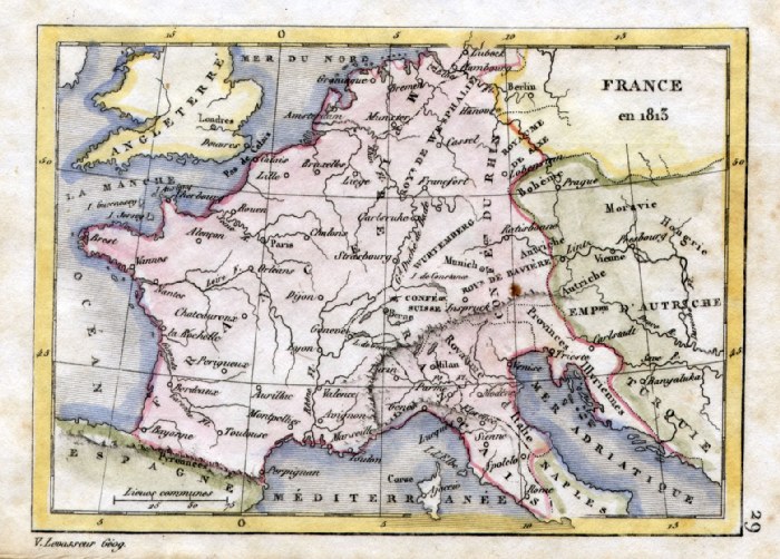 |
France in 1813 V. Levasseur
c1835 size: 130 x 100 mm Ref HAM061 £16.00 (+P&P) click image for enlargement |
 |
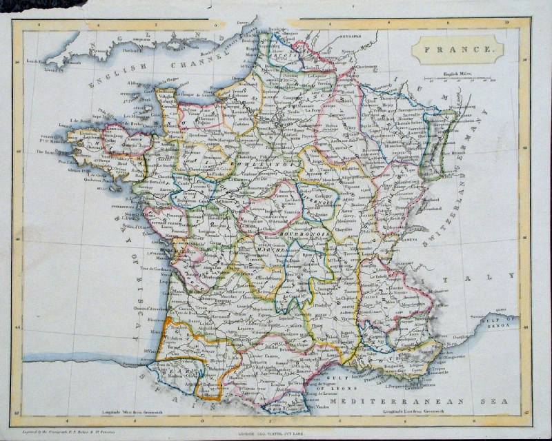
France Samuel
Arrowsmith 1836 Ref FHM119 £16.00 (+P&P) size: 210 x 240 mm Tight right margin click image for enlargement |
 |
Ancient France
Samuel Arrowsmith 1836 Ref FHM115 £16.00 (+P&P) size: 210 x 240 mm Tight right margin click image for enlargement |
 |
Europe Francis
Young / Beeton c1880 size: 260 x 200 mm several folds, tight top margin, corner stain Ref GAM037 % £12.00 (+P&P) click image for enlargement |
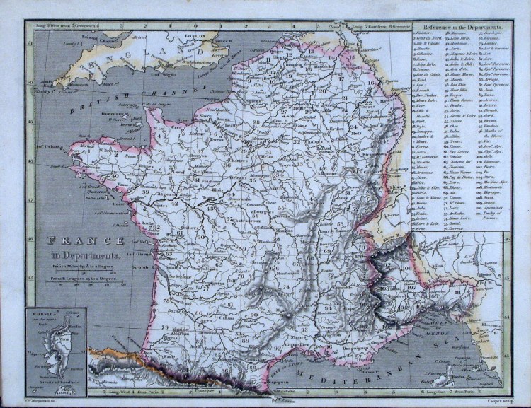 |
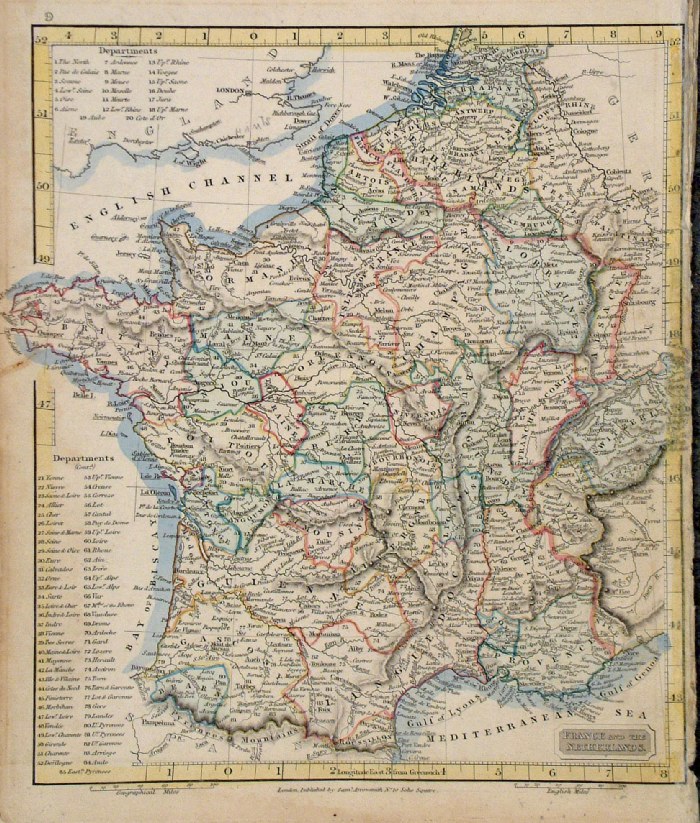
France in Departments Cooper
1809 size: 250 x 200
mm Ref GCM034 % £18.00 (+P&P) click image for enlargement |
 |
France in Provinces Cooper
1809 size: 200 x 205
mm Ref GCM035 % £18.00 (+P&P) click image for enlargement |
 |
France Dufour /
Renouard 1843 size: 260 x 210 mm several folds, tight side margins Ref GBM334 % £10.00 (+P&P) click image for enlargement |
 |
Ancient France
Fenner 1828 size 150 x 120 mm Ref GIM029 % £10.00 (+P&P) click image for enlargement |
 |
Ancient France
Neale c1828 size 260 x 200 mm Ref FAM039 % £14.00 (+P&P) click image for enlargement |
 |
France Becker /
Virtue c1860 size 260 x 210 mm repair to top-left corner tear. Ref GLM038 % £10.00 (+P&P) click image for enlargement |
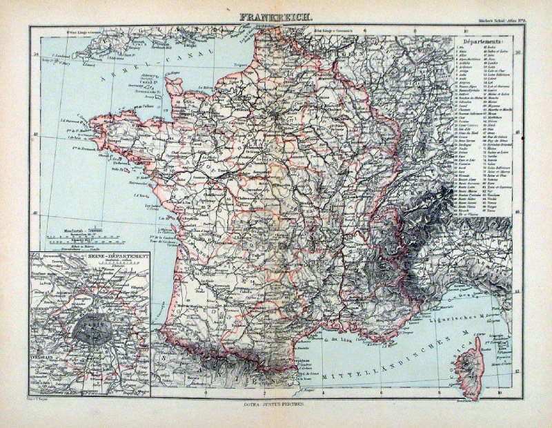 |
Frankreich Steiler /
Perthes 1895 size: 300 x 240 mm, centre fold. inset of Paris, table of Departments Ref HHM071 £15.00 (+P&P) click image for enlargement |
 |
Gaule Vuillemin 1851 size: 270 x 210 mm a few faint spots of foxing Ref JDM059 £12.00 (+P&P) click image for enlargement |
French Colonies
|
|
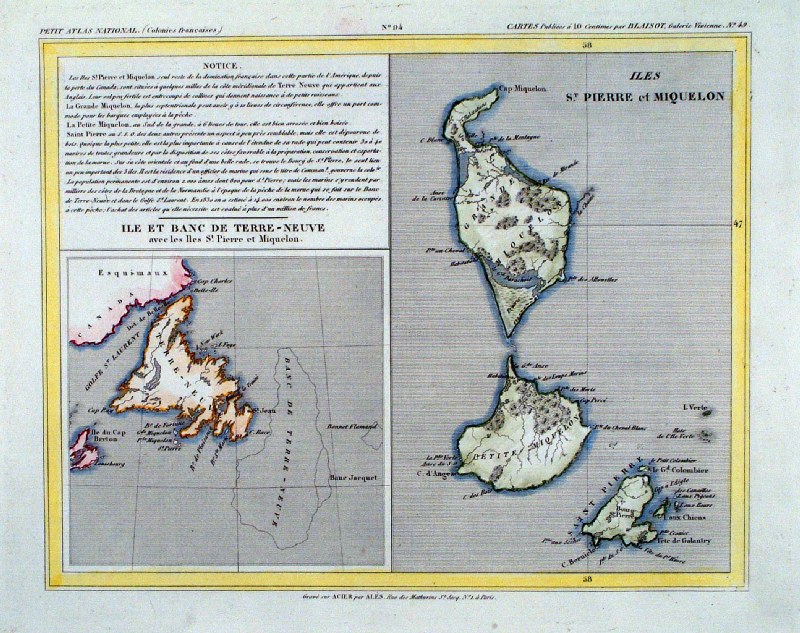 |
French
Colonies
Monin
1833 Newfoundland and St Pierre & Miquelon size: 250 x 210 mm, Ref IAM097 £20.00 (+P&P) click image for enlargement |
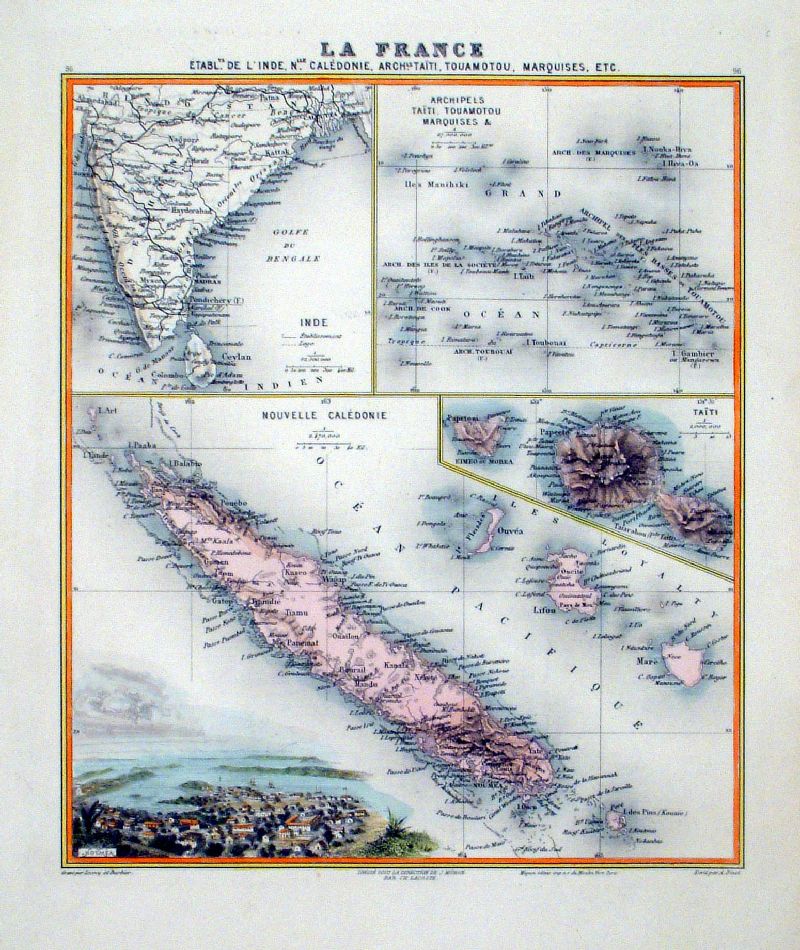 |
French
Colonies
Barbier
/ Bixet / Migeon c1870 La France Etable de Inde Nlle Caledonie, Taiti, Touamotou, Marquises etc New Caledonia, Tahiti, etc. size: 240 x 280 mm, Ref KGM055 £20.00 (+P&P) click image for enlargement |
| All Genuine Antiquarian Maps - No Reproductions or Modern Copies |
2023

