Past Pages
Antique Maps, Prints and Ephemera
Antique Maps of Europe
H to P (Holland to Prussia)
European Countries in Alphabetic
order.
Check for common groupings like Belgium & Holland or Holland & Belgium.
Check for dual namings such as Holland / Netherlands.
Check for regions such as Balkans.
Check for historic changes such as Greece/Turkey
Cities and regions will be listed under their country.
Check for common groupings like Belgium & Holland or Holland & Belgium.
Check for dual namings such as Holland / Netherlands.
Check for regions such as Balkans.
Check for historic changes such as Greece/Turkey
Cities and regions will be listed under their country.

Holland, Netherlands, Low Countries ( also see Belgium) |
|
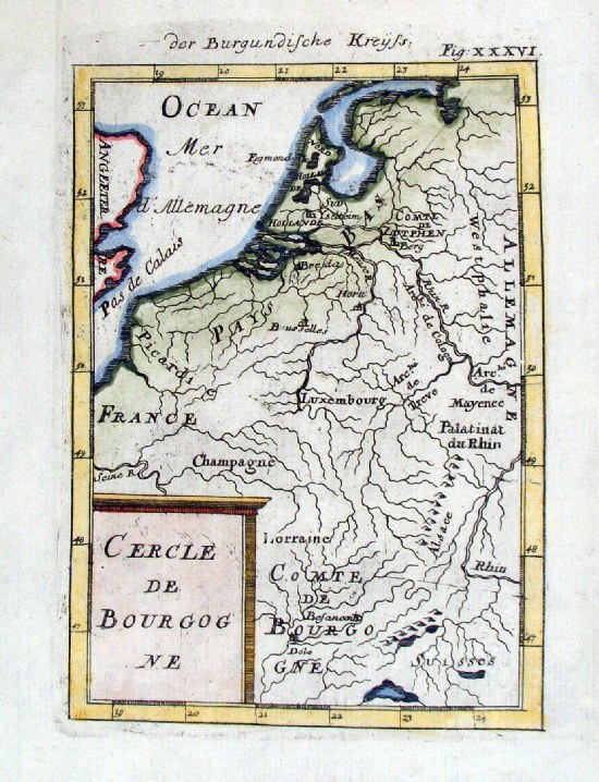 |
Low Countries 'Cercle de Bourgogne' Mallet c1685 Copper engraving size: 130 x 170 mm Ref HLM004 £24.00 (+P&P) click image for enlargement |
 |
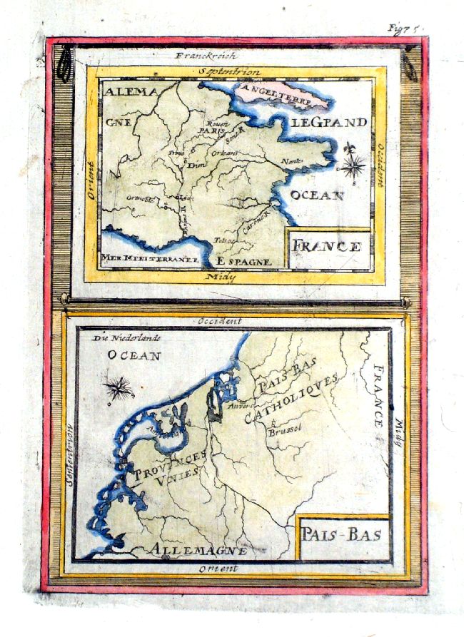
Low Countries and France Mallet c1685 Copper engraving size: 130 x 170 mm Ref HLM003 £24.00 (+P&P) click image for enlargement |
 |
Low Countries and France
Mallet c1685 Copper engraving size: 130 x 170 mm unrecognisable map of France and the low countries. Suspect this map was engraved in reverse. Ref IBM006 £24.00 (+P&P) click image for enlargement |
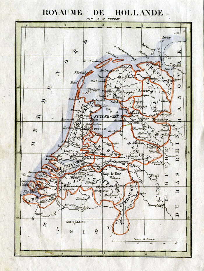 |
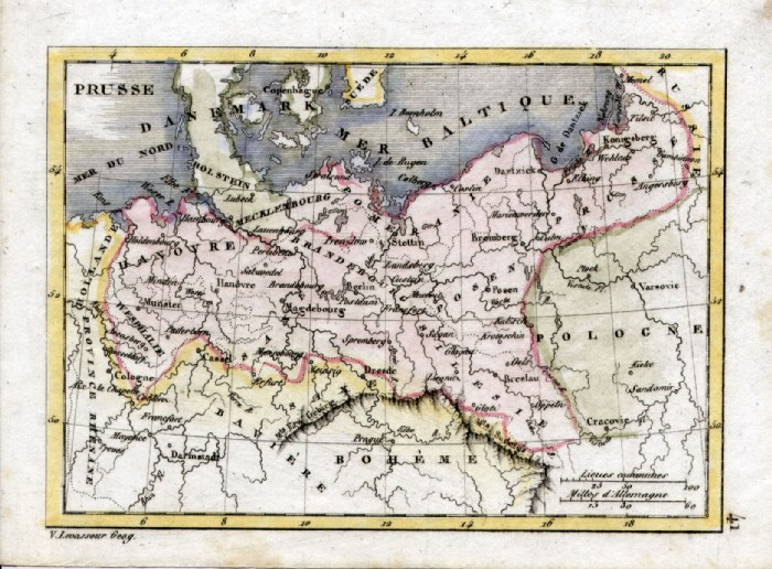
Holland Perrot c1830
Engraved by P. Tardieu size: 160 x 200 mm Ref FEM013 £16.00 (+P&P) click image for enlargement |
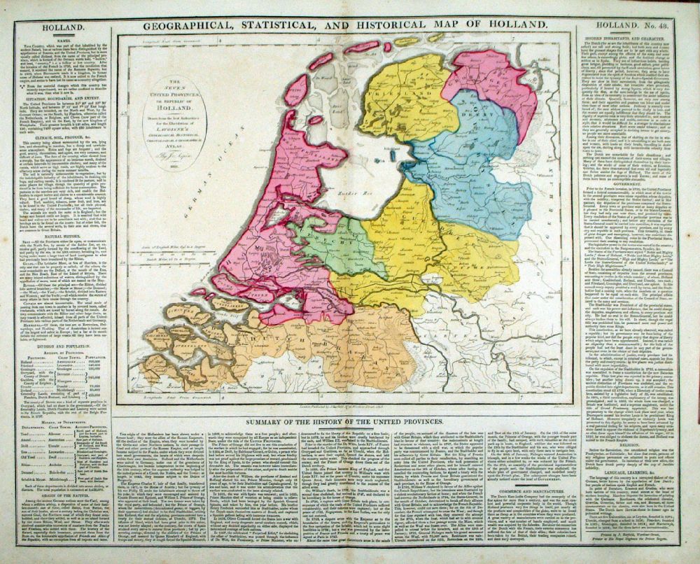 |
Geographical and
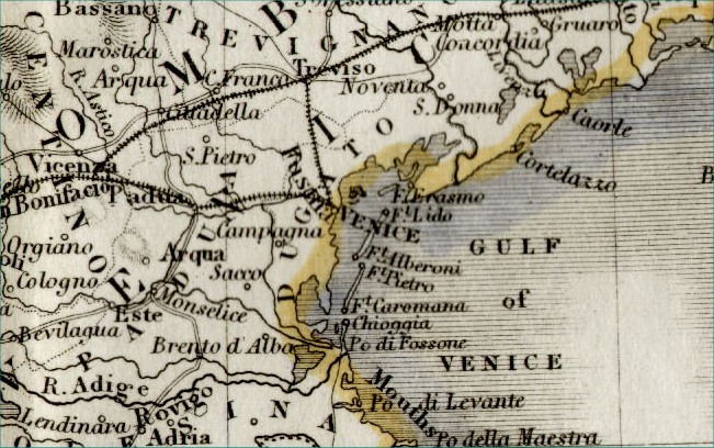
Statistical Map of Holland Map engraved by J. Walker. Set with statistical data. From Lavoisne's Genealogical, Historical, Chronological and Geographical Atlas 1827 - Title Page For Statistics Tables and Charts from this atlas see Charts and Tables Page Copper engraving page size: 530 x 420 mm, centre fold. Ref LHM052 £50.00 (+P&P) Detail 1 click image for enlargement |
 |
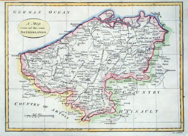
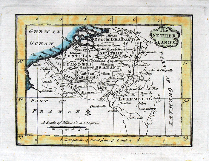
Netherlands
Barlow / Brightly 1806 Original colour size: 220 x 200 mm Ref HLM006 £20.00 (+P&P) click image for enlargement |
 |
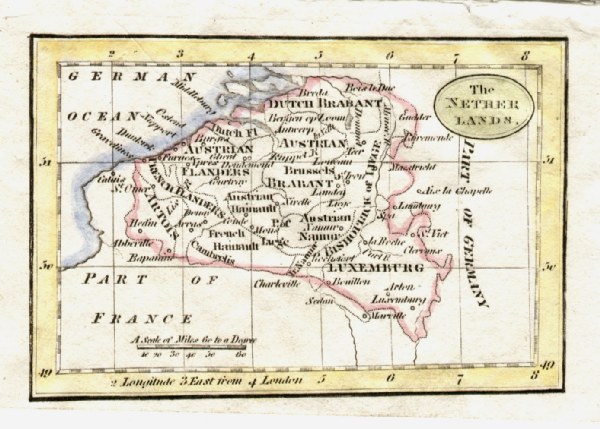
Netherlands
Barlow / Brightly 1806 Original colour size: 220 x 200 mm Slightly soiled surface condition Ref FIM054 £18.00 (+P&P) click image for enlargement |
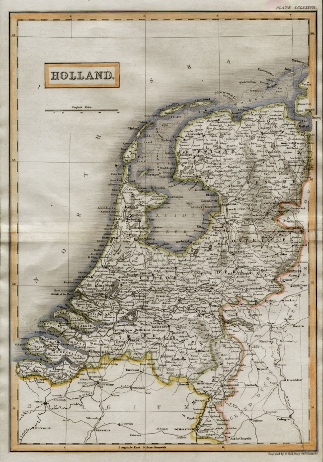 |
Holland Sidney Hall
1842
size 270 x 400 mm Stain near border between title box and Majorca. Ref EKM072 % £20.00 (+P&P) click image for enlargement |
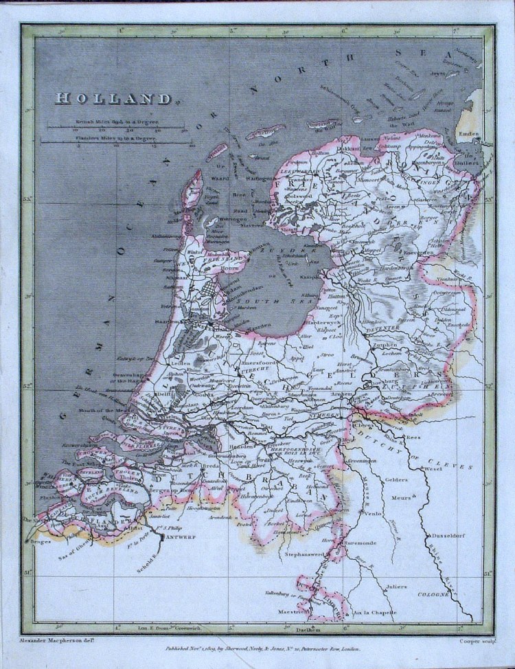 |
Holland Cooper / Macpherson
1809
size: 200 x 250mm Ref GCM032 £16.00 (+P&P) click image for enlargement |
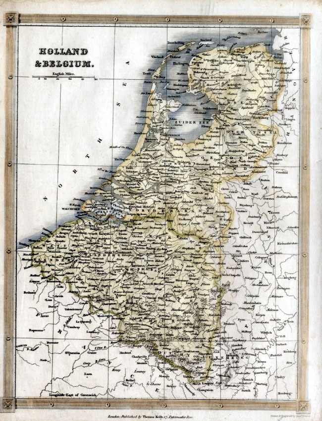 |
Holland &
Belgium
Kelly c1836 Steel Engraving size: 200 x 260 mm Ref EKM096 % £18.00 (+P&P) click image for enlargement |
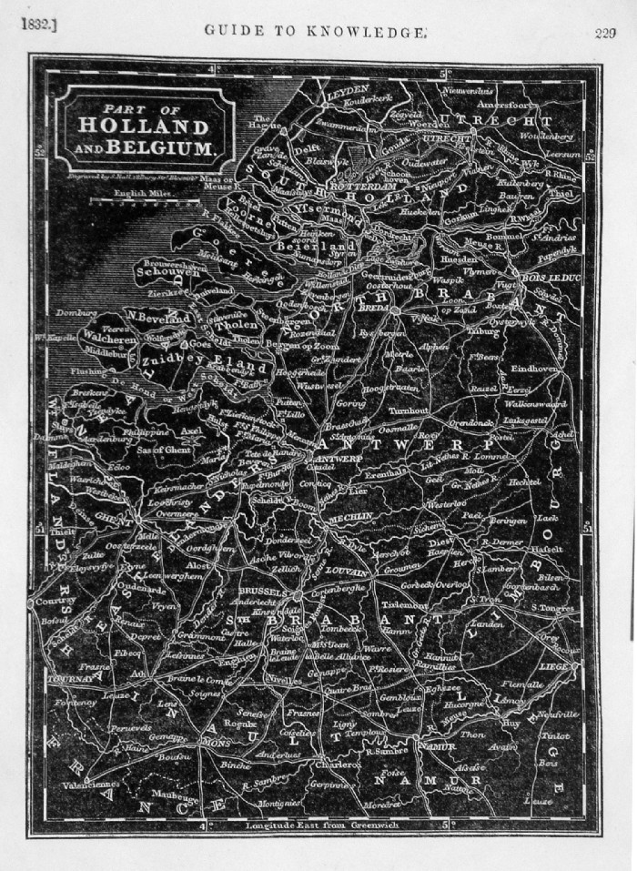 |
Part of Holland &
Belgium Guide to Knowledge p229 Pinnock 1832 Reverse wood block Engraving size: 170 x 230 mm Ref LGM006 £22.00 (+P&P) click image for enlargement |
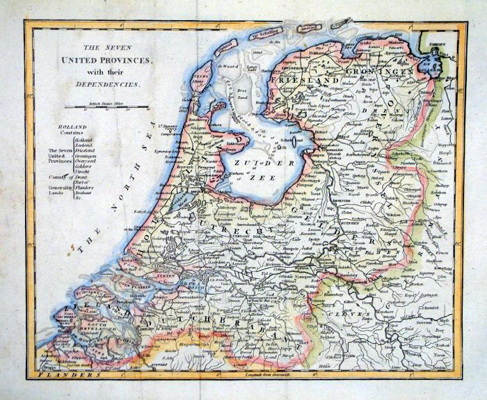 |
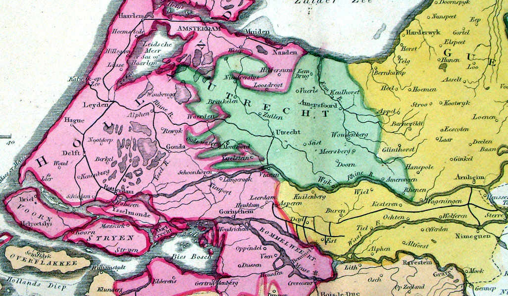
The Seven United Provinces with their
Dependencies Alexander Cooke 1807 size: 280x 230 mm 2 folds and some creases Ref FHM070 £16.00 (+P&P) click image for enlargement |
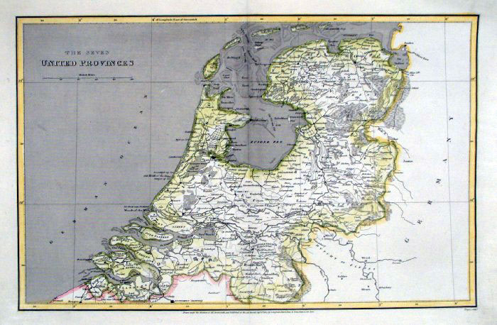 |
The Seven United Provinces
Cooper / Arrowsmith 1807
size: 410x 260 mm Centre Fold Ref FIM072 % £18.00 (+P&P) click image for enlargement |
|
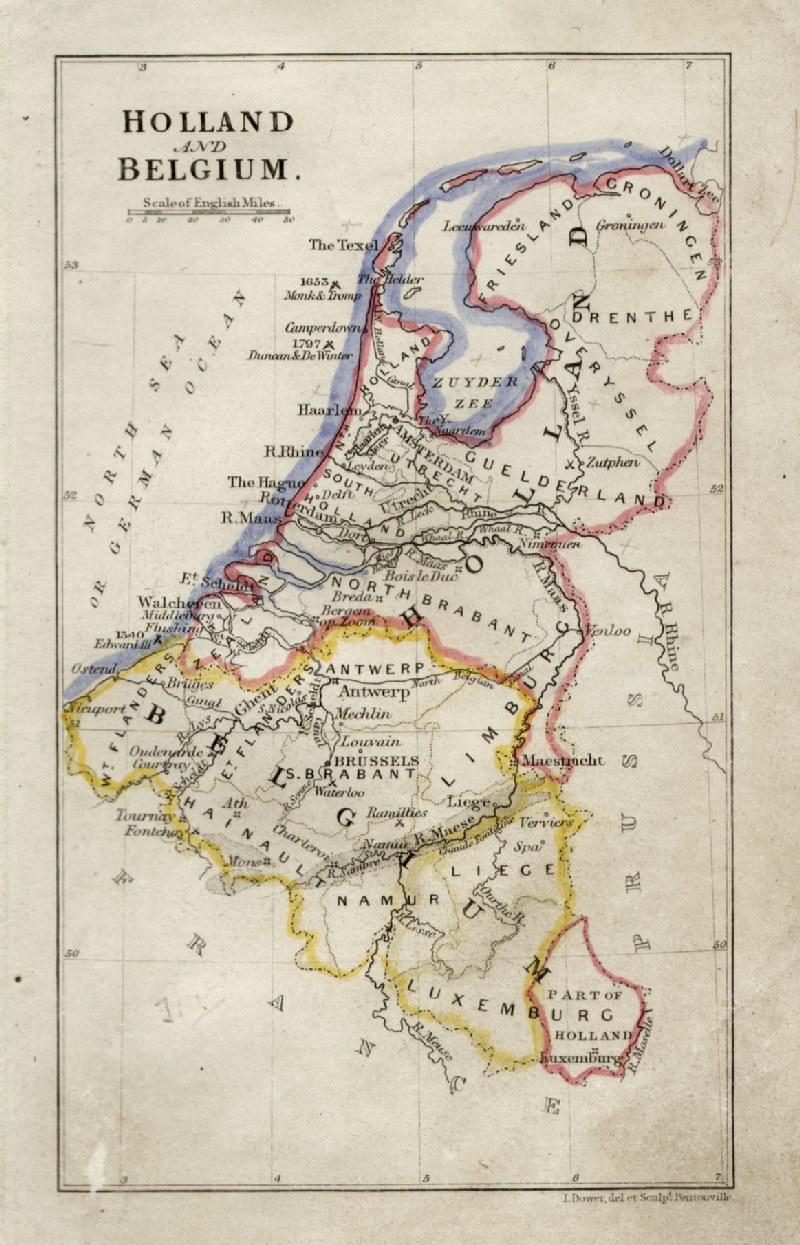
Holland and Belgium
John Dower / James Cornwell c1850 Ref GFM057 % £16.00 (+P&P) size: 150 x 95 mm, slightly soiled surface click image for enlargement |
 |
Netherlands Paas
1780 size: 300x 220 mm Ref JIM005 £20.00 (+P&P) click image for enlargement |
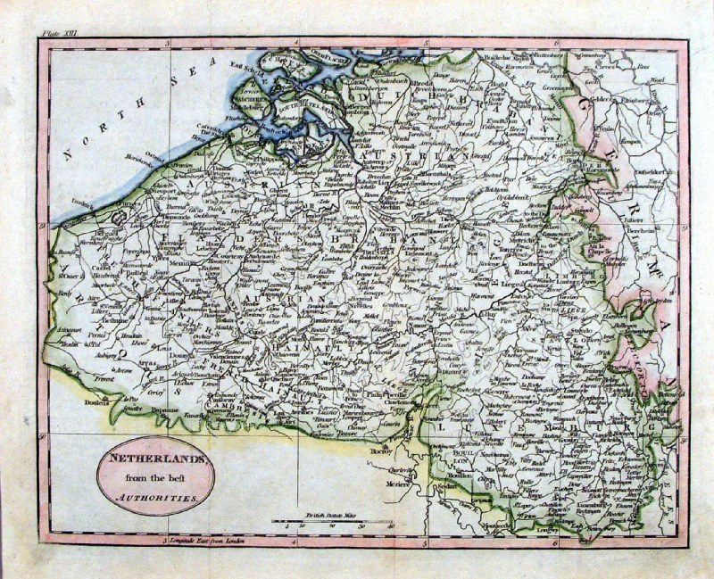 |
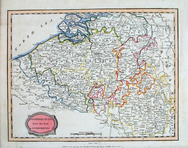
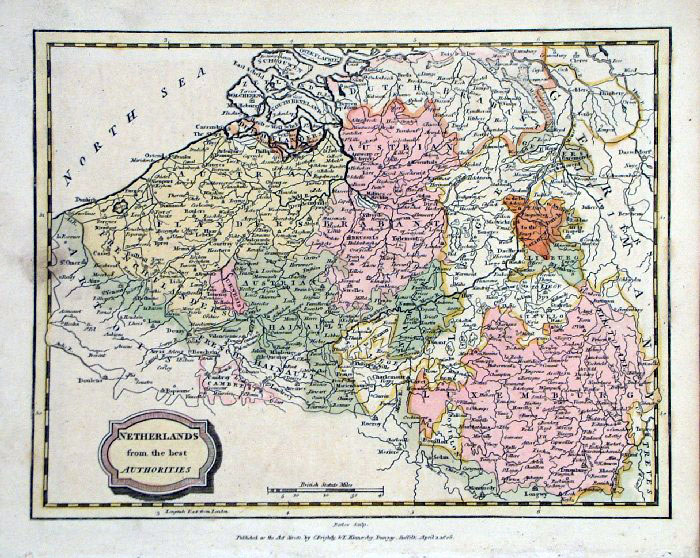
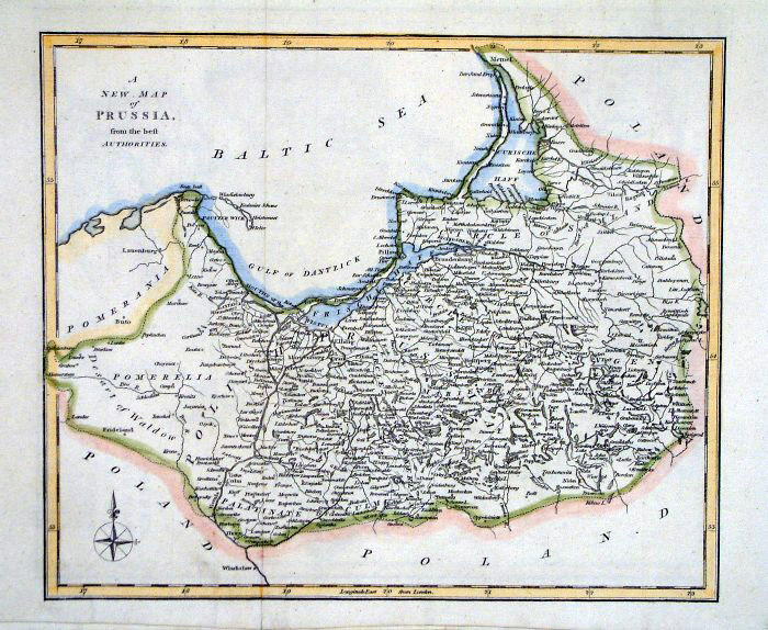
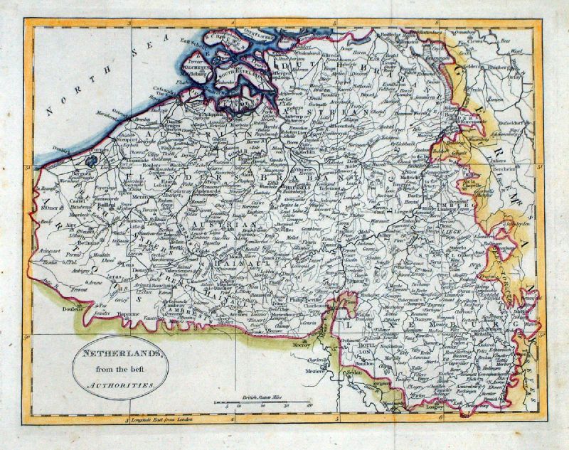
Netherlands from the Best Authorities Brookes c1800 size: 250 x 200 mm, 2 folds Ref HLM005 £20.00 (+P&P) Ref LGM004 £20.00 (+P&P) click image for enlargement |
 |
Netherlands
Richard
Turner - Universal Geography 1792 Copper engraving - size: 80 x 110 mm Ref RLM003 £20.00 (+P&P) click image for enlargement |
 |
Netherlands Turner 1810
size 80 x 120 mm Ref GLM026 £12.00 (+P&P) click image for enlargement |
Hungary
|
|
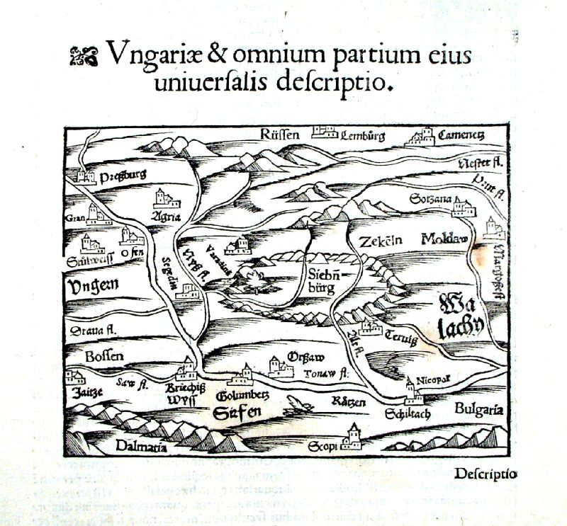 |
Hungary Munster c1580 'Ungariae & omnium partium eius uniuersalis descripto' shows Dalmatia, Bulgaria, Seibenburg, Moldova. Wood-cut engraving Map size: 160 x 120mm Page size (including descriptive text) : 180 x300mm Ref IBM003 £38.00 (+P&P) click image for enlargement |
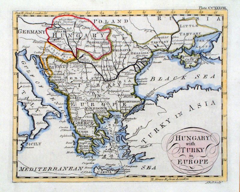 |
'Hungary with Turky in Europe' Andrew Bell c1796 size: 230 x 190 mm Antique Map Ref JKM063 £34.00 (+P&P) click image for enlargement |
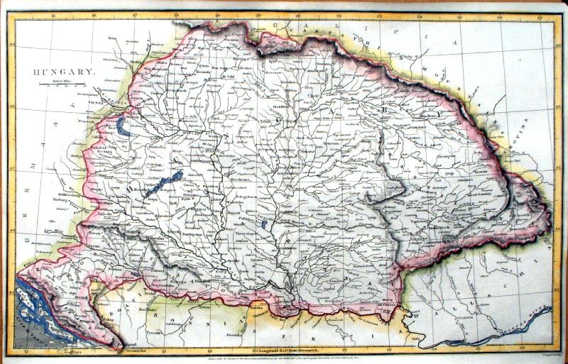 |
Hungary Cooper / Arrowsmith 1810 size: 410 x 260 mm Centre Fold Ref IDM016 £26.00 (+P&P) click image for enlargement |
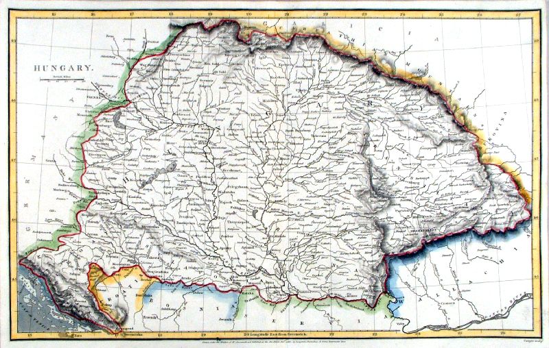 |
Hungary Cooper / Arrowsmith 1810 size: 410 x 260 mm Centre Fold Ref IGM004 £26.00 (+P&P) Ref JKM053 £26.00 (+P&P) click image for enlargement |
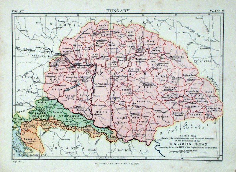 |
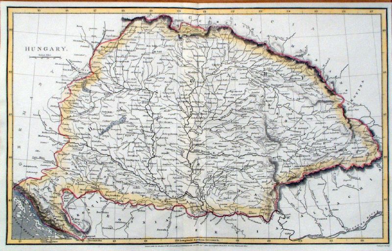
Hungary Johnston c1890 size: 260 x 190 mm Ref JIM008 £18.00 (+P&P) click image for enlargement |
| |
Iceland |
| Iceland - Sold Out |
|
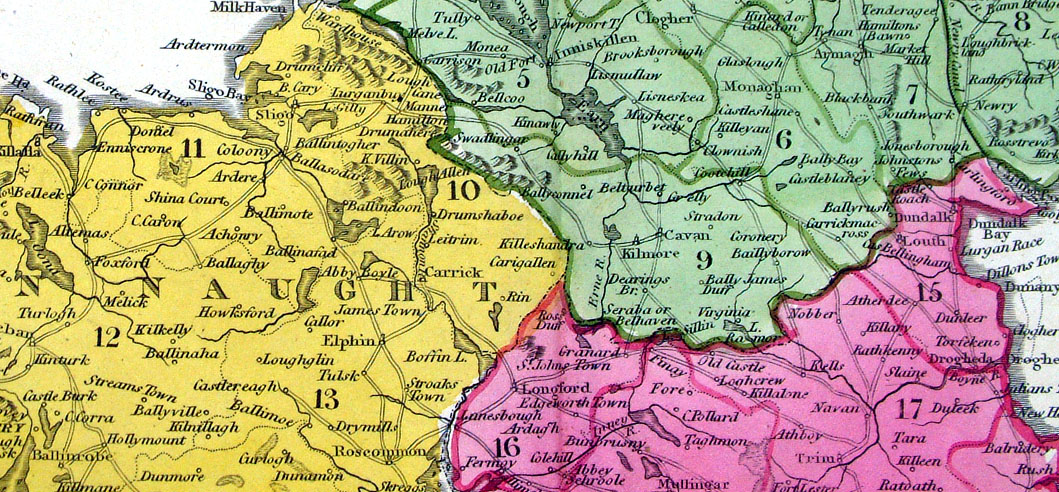
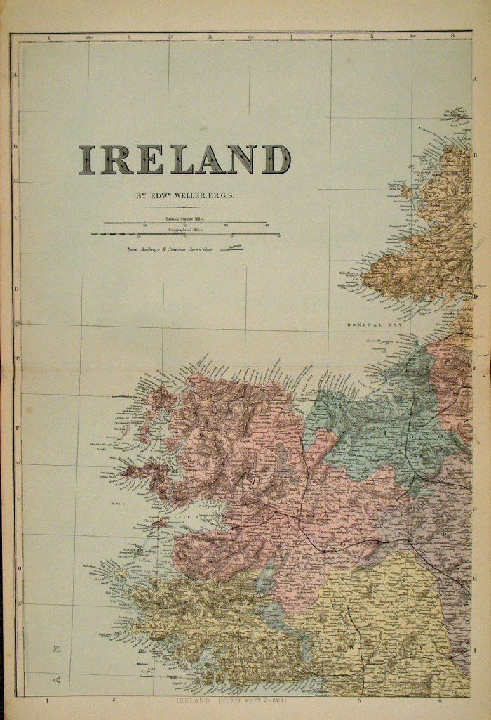
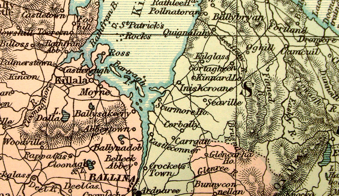
IrelandFor ease of classification no distinction is made between North & South.At the time of publication there was no division of this country. |
|
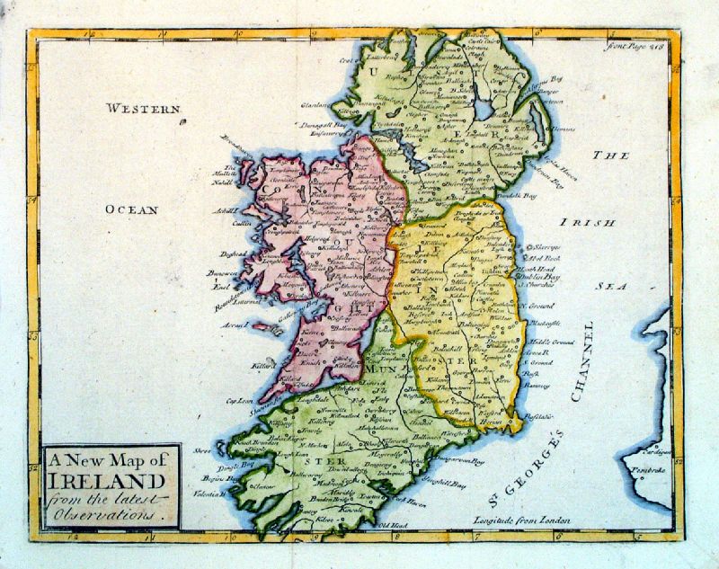 |
A New Map of Ireland
from the Latest Observations John Sennex 1730 From Gordon's Geography - view Title Page size: 190 x 170 mm, 2 folds Antique Map Ref LFM013 £70.00 (+P&P) click image for enlargement |
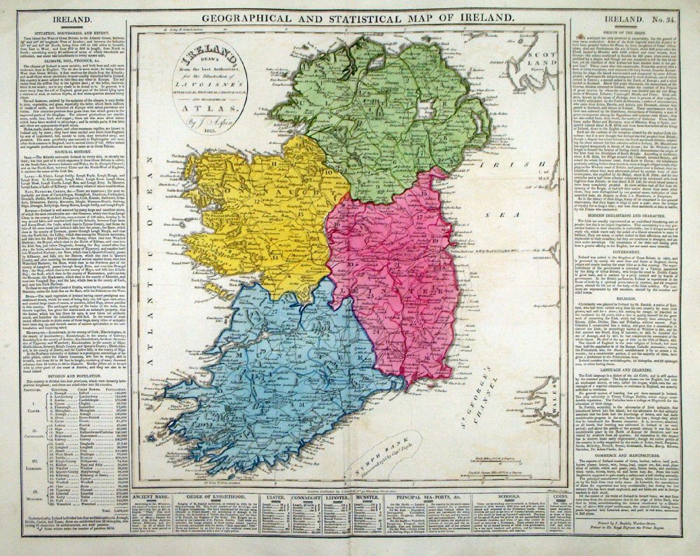 |
Geographical and
Statistical Map of Ireland Map engraved by J. Walker. Set with statistical data. From Lavoisne's Genealogical, Historical, Chronological and Geographical Atlas 1827 - Title Page For Statistics Tables and Charts from this atlas see Charts and Tables Page Copper engraving page size: 530 x 420 mm, centre fold. Ref LHM037 £60.00 (+P&P) Detail 1 Detail 2 click image for enlargement |
 |
Ireland Grattan & Gilbert / Archer Steel negraving size: 260 x 320 mm Ref KAM006 £35.00 (+P&P) click image for enlargement |
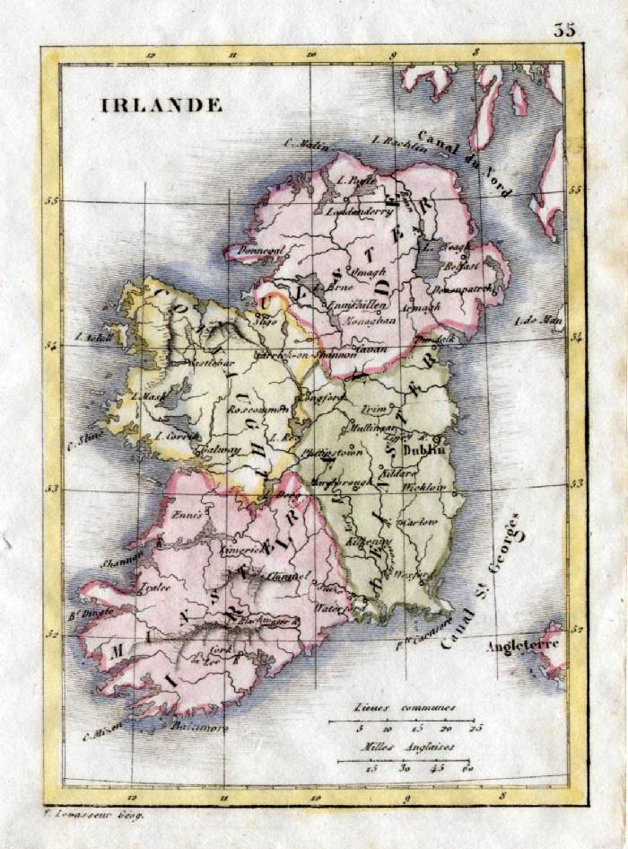 |
Ireland V. Levasseur c1835 size: 130 x 100 mm Ref HAM067 £18.00 (+P&P) click image for enlargement |
 |
Ireland
Tyrer / Souter 1838 size: 210 x 230 mm, centre fold Ref JLM020 £20.00 (+P&P) click image for enlargement |
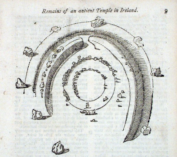 |
Ireland
(
Ballynanatye near Dundalk) Remains of an ancient Temple in Ireland Gentlemans Magazine 1753 Wood-cut engraving Map size: 110 x 100mm Page size (including descriptive text) : 120 x 200mm Ref HEP027 £24.00 (+P&P) click image for enlargement |
 |
Ireland - North Capper
1808
Engraved by Cooper for Benjamin Pitts Capper size: 190 x 230 mm 2 folds Ref GDM194 % £16.00 (+P&P) click image for enlargement |
 |
Ireland - South Capper
1808
Engraved by Cooper for Benjamin Pitts Capper size: 190 x 230 mm 2 folds Ref GDM195 % £16.00 (+P&P) click image for enlargement |
 |
Ireland - South Sidney
Hall
c1854
size 400 x 270 mm Ref EKM138 % £18.00 (+P&P) click image for enlargement |
|
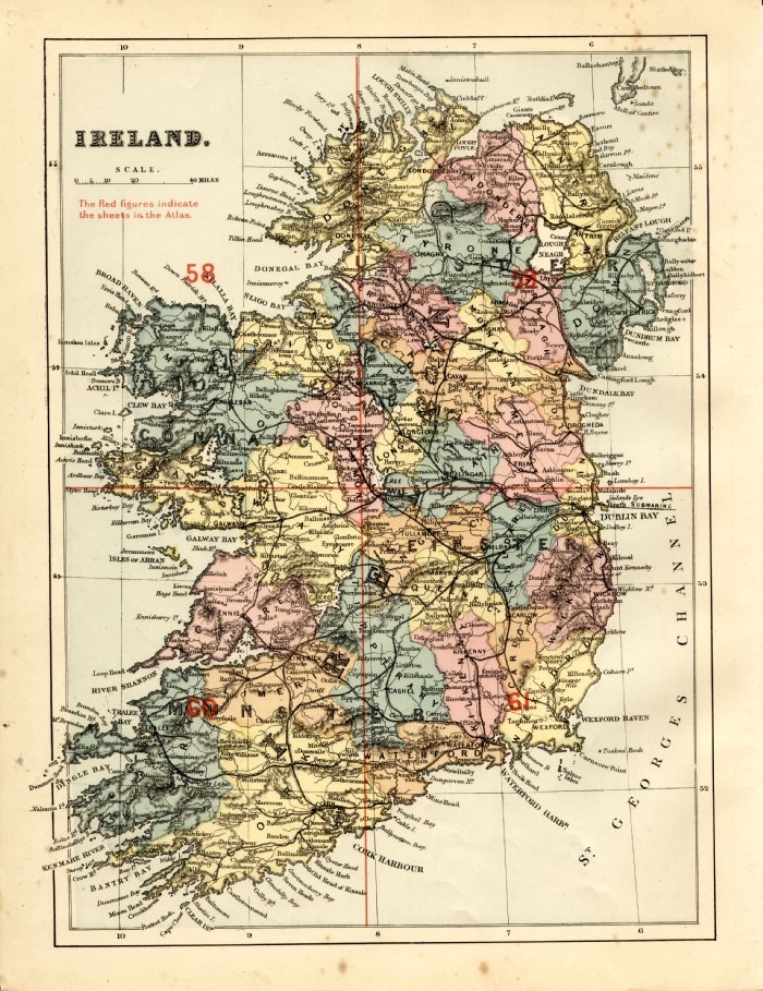
Ireland - 5 sheets
Bacon c1883
size: 500 x 320 mm Sheet 1 - master plan (illustrated left) Sheets 2 - 4 sectional maps of NE, NW, SE, SW Ref FLM087 (all 5 sheets) £35.00 (+P&P) click image for enlargement |
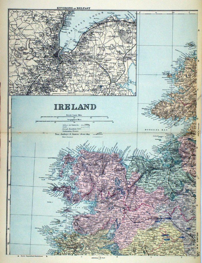 |
Ireland
in 4 sheets Inset of Environs of Belfast, Dublin, Cork, Lakes of Killarney From the New Large Scale Atlas of the British Isles by G.W. Bacon 1892 each sheet: size: 340 x 450 mm, centre fold Ref LHM108 (all four sheets - will not split) £45.00 (+P&P) Detail Detail click image for enlargement |
|
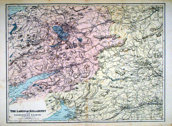
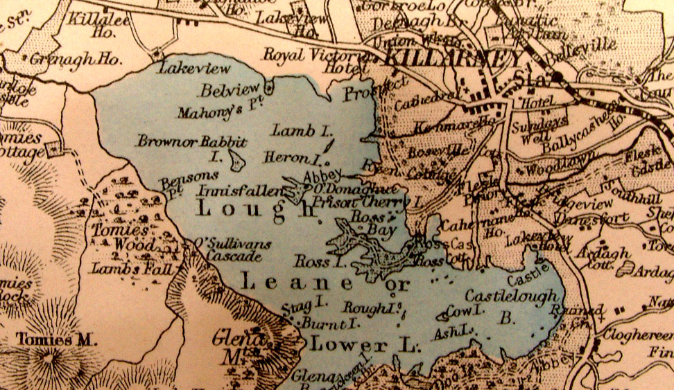
Lakes of Killarney, Ireland
Bacon c1883
size: 500 x 320 mm Some spots of foxing Ref FLM188 £18.00 (+P&P) click image for enlargement |
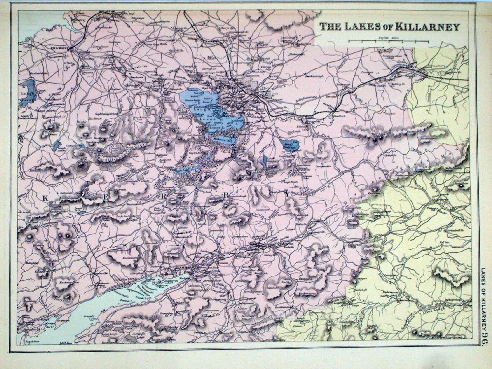 |
Lakes of
Killarney From the New Large Scale Atlas of the British Isles by G.W. Bacon 1892 size: 330 x 240 mm, fold at top margin Ref LHM103 £18.00 (+P&P) Detail click image for enlargement |
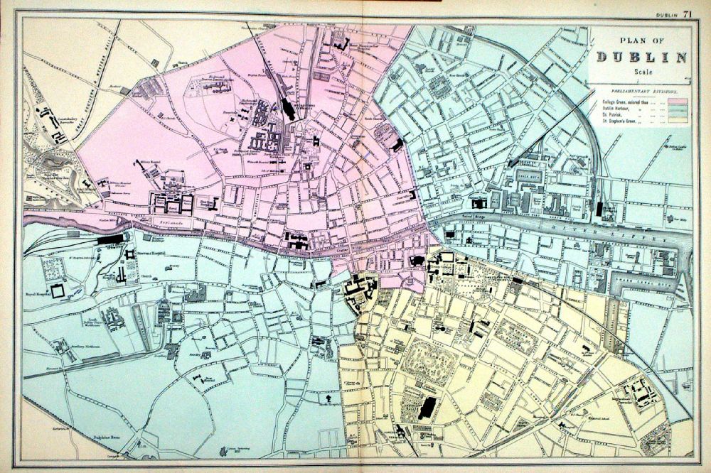 |
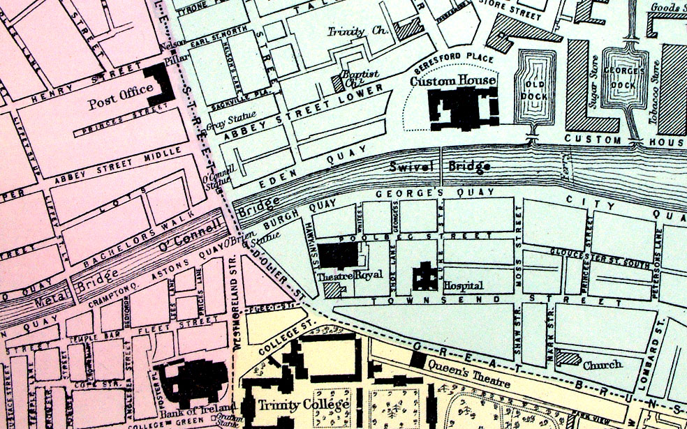
Plan of Dublin
From the New Large Scale Atlas of the British Isles by G.W. Bacon 1892 size: 500 x 330 mm, centre fold Ref LHM079 £32.00 (+P&P) Detail click image for enlargement |

|
Dublin, Ireland
Bacon c1883
size: 500 x 320 mm Ref FLM156 £28.00 (+P&P) click image for enlargement |
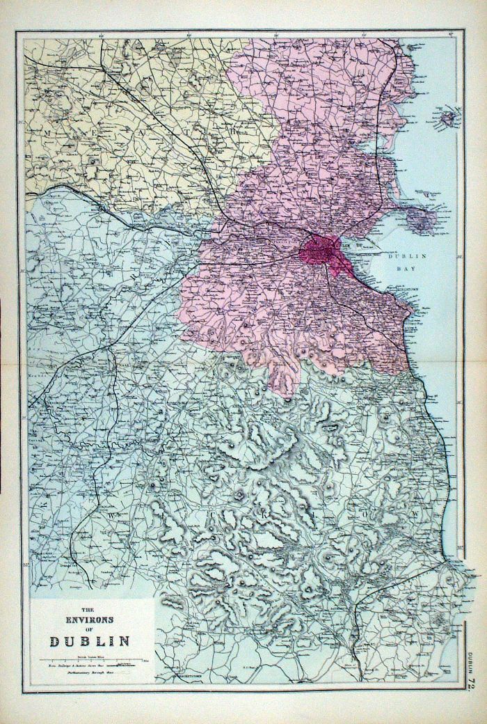 |
The Environs of
Dublin From the New Large Scale Atlas of the British Isles by G.W. Bacon 1892 size: 330 x 500 mm, centre fold Ref LHM080 £32.00 (+P&P) Detail click image for enlargement |
|
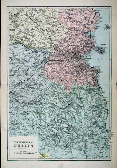
Dublin Environs, Ireland
Bacon c1883
size: 330 x 500 mm Ref FLM178 £25.00 (+P&P) click image for enlargement |
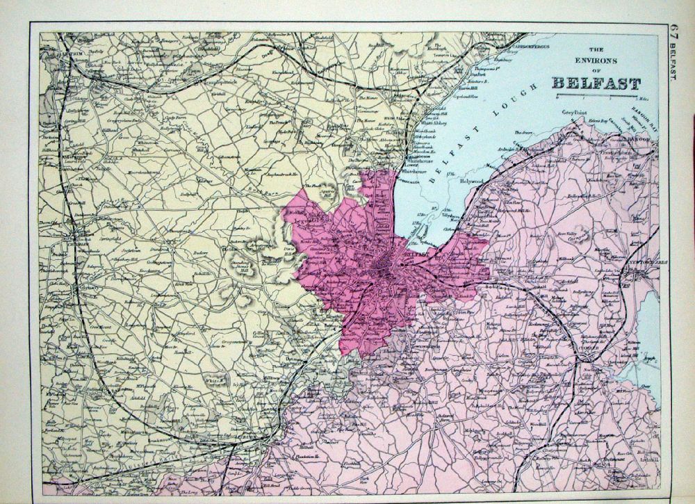 |
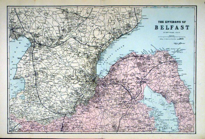
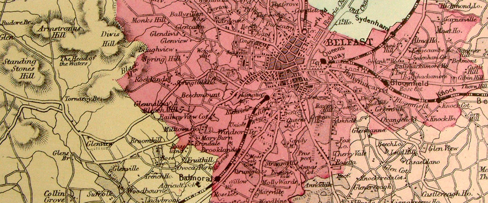
The Environs of
Belfast From the New Large Scale Atlas of the British Isles by G.W. Bacon 1892 size: 320 x 230 mm, tight lower margin Ref LHM075 £20.00 (+P&P) Detail click image for enlargement |
|
Belfast Environs, Ireland
Bacon c1883
size: 500 x 320 mm Ref FLM176 £20.00 (+P&P) click image for enlargement |
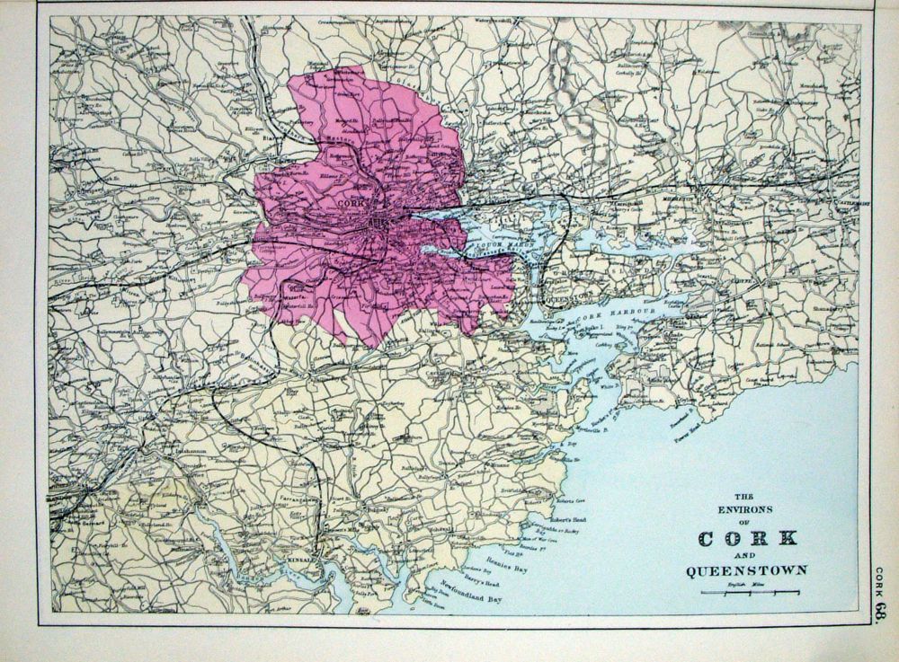 |
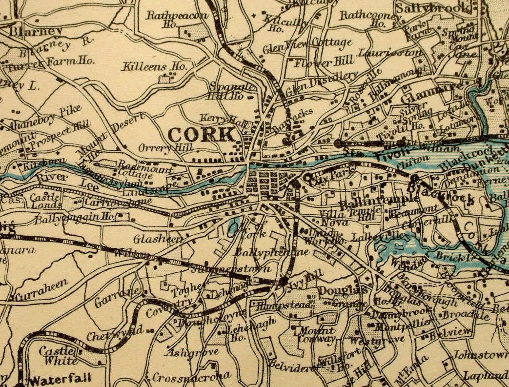
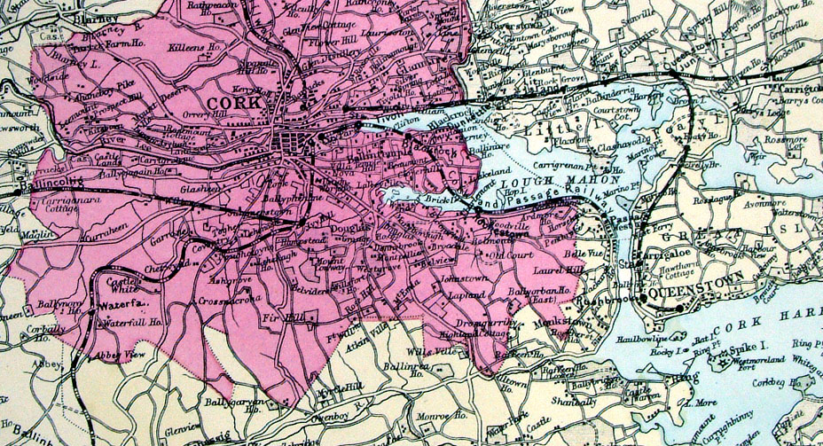
The Environs of Cork
and Queenstown From the New Large Scale Atlas of the British Isles by G.W. Bacon 1892 size: 320 x 230 mm, tight top margin. Ref LHM076 £20.00 (+P&P) Detail click image for enlargement |
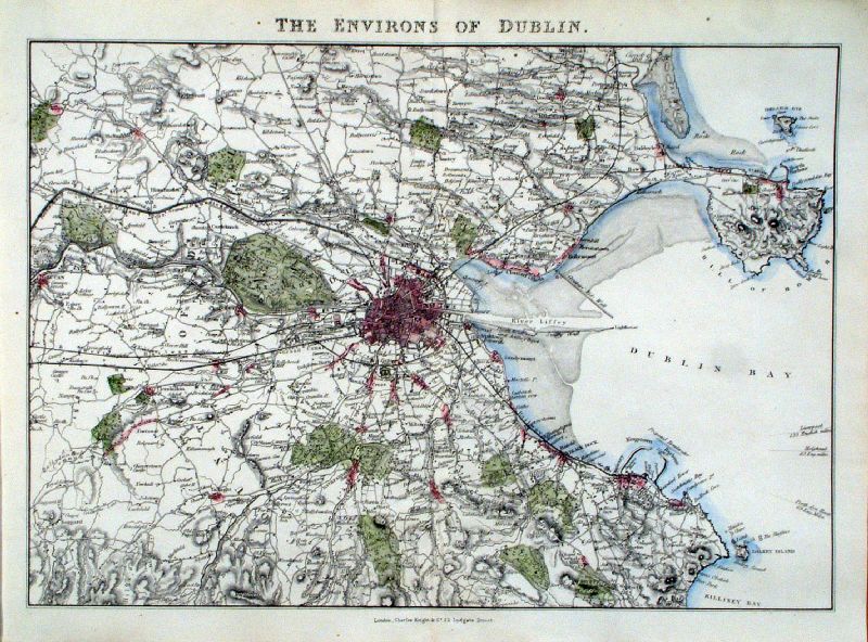 |
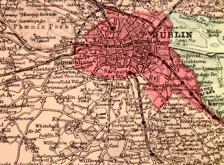
Environs of Dublin
Knight c1870 size 360 x 260 mm Ref JGM007 £22.00 (+P&P) click image for enlargement |
|
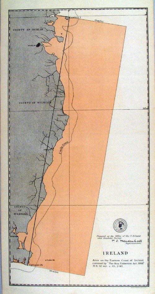
'Ireland - Area on the Eastern Coast of
Ireland covered by "Sea Fisheries Act 1868" ' United States Coast and Geodetic Survey 1895 Map of designated fishing grounds. Litho size: 220 x 430 mm Ref HLM046 £25.00 (+P&P) click image for enlargement |
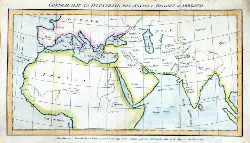 |
General Map to
Illustrate the Ancient History of Ireland. 'Taken from de la Rochette's Indice Veteris Geogr: Londini 1793 apud G.Faden and from Sr. W, Ouseleys Map in the Geogr. of Ebn Haukal 1800' Watermark '1798 A Blackwell' size 360 x 210 mm, several folds Vallancey 1770 - 1804 Ref MDM001 £28.00 (+P&P) click image for enlargement |
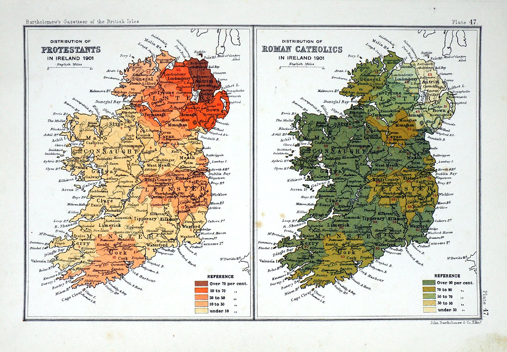 |
Distribution of Protestants in
Ireland 1901 Distribution of Roman Catholics in Ireland 1901 John Bartholomew Gazatteer of the British Isles 1904 Compiled from the 1901 census size: 170 x 240 mm Ref RLM014 £25.00 (+P&P) click image for enlargement |
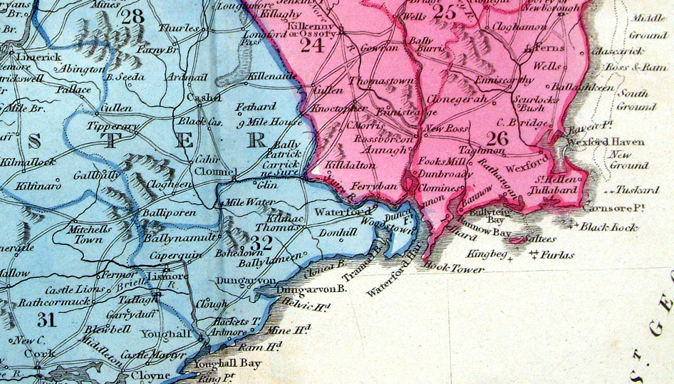
Italy & Sicily
|
|
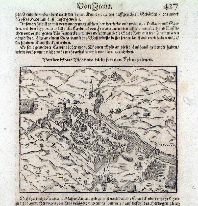 |
Vicovaro (Province of Rome)
Munster c1580 'Von der Statt Vicovaro' Ref HMS017 £40.00 (+P&P) size: 240 x 260 mm, Centre fold click image for enlargement |
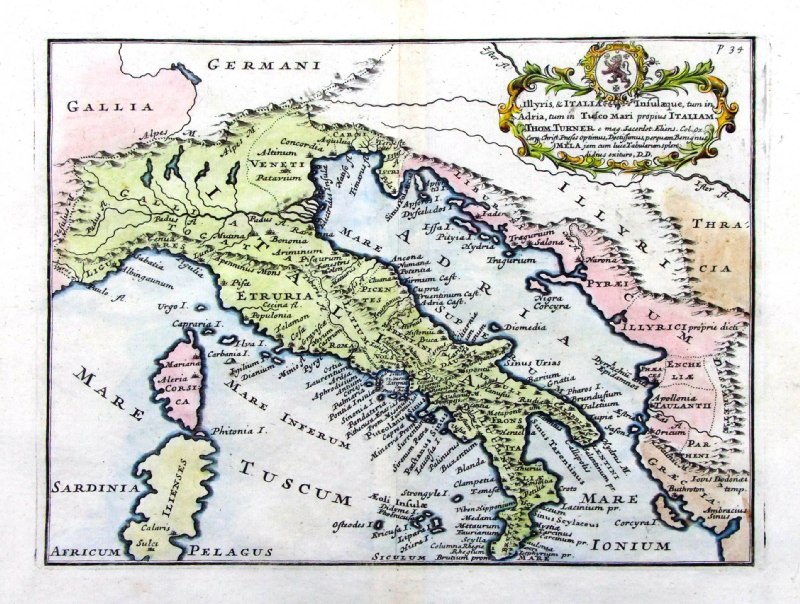 |
Ancient Italy
from De Situ Orbis by Pomponius Mela. Published by Philippum Bishop, Exeter, 1711 Copper engraving size 270 x 200 mm, centre fold Decorative cartouche contains the name of the sponsor/patron of this map. Ref PDM015 £60.00 (+P&P) click image for enlargement |
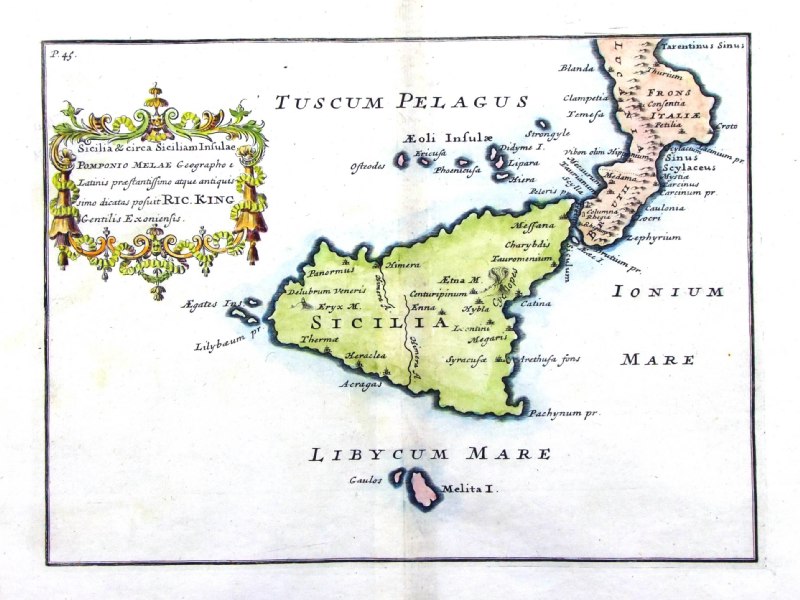 |
Ancient Sicily
from De Situ Orbis by Pomponius Mela. Published by Philippum Bishop, Exeter, 1711 Copper engraving size 270 x 200 mm, centre fold, a few very faint stains. Decorative cartouche contains the name of the sponsor/patron of this map. Ref PDM019 £70.00 (+P&P) click image for enlargement |
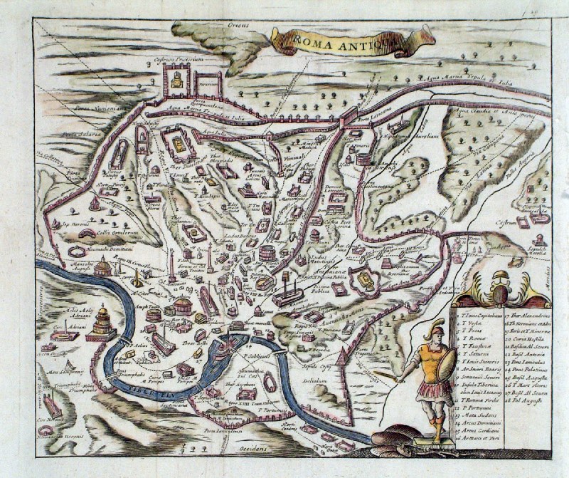 |
Ancient Rome
Kennett/Knaplock 1718 Roma Antiqua Table of 28 landmarks size: 210 x180 mm Ref HGM003 £36.00 (+P&P) click image for enlargement |
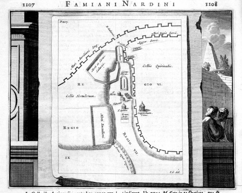 |
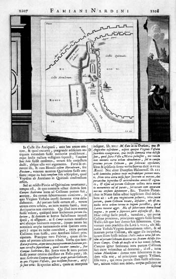
Part of Ancient Rome
c1666 Famiani Nardini Roma Antiqua size: 210 x 170 mm Page size: 220 x 370 mm Ref KDP032 £38.00 (+P&P) click image for enlargement |
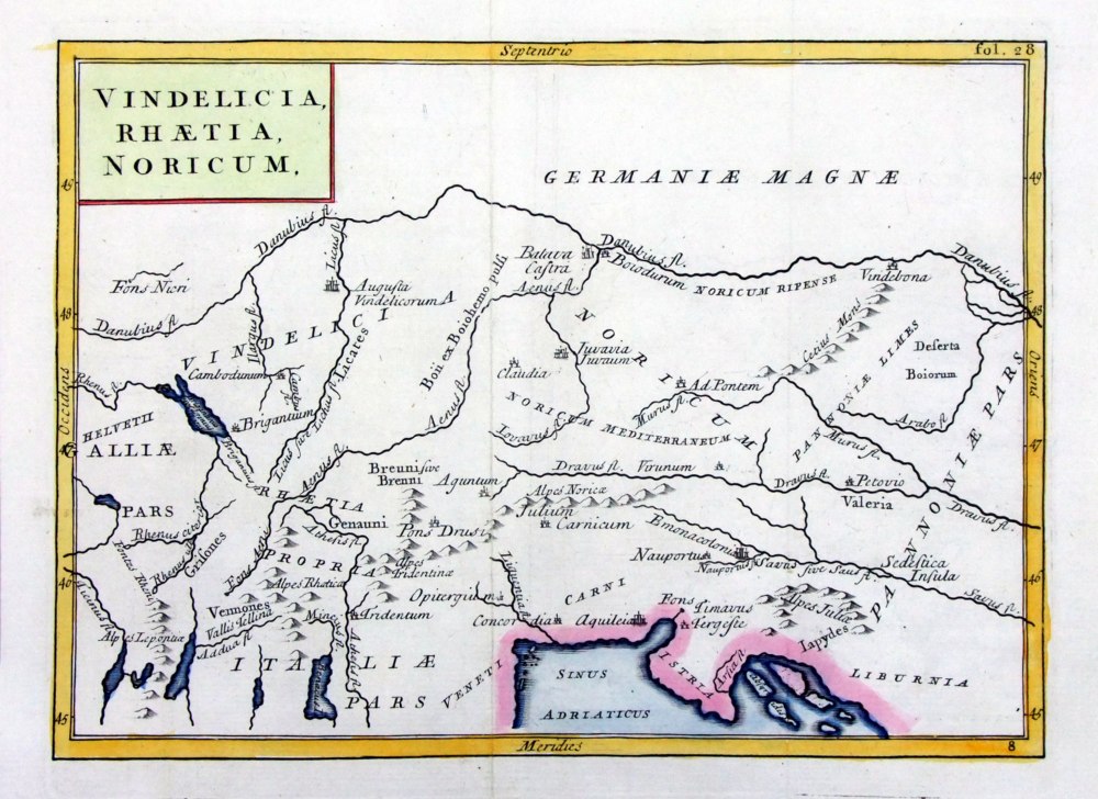 |
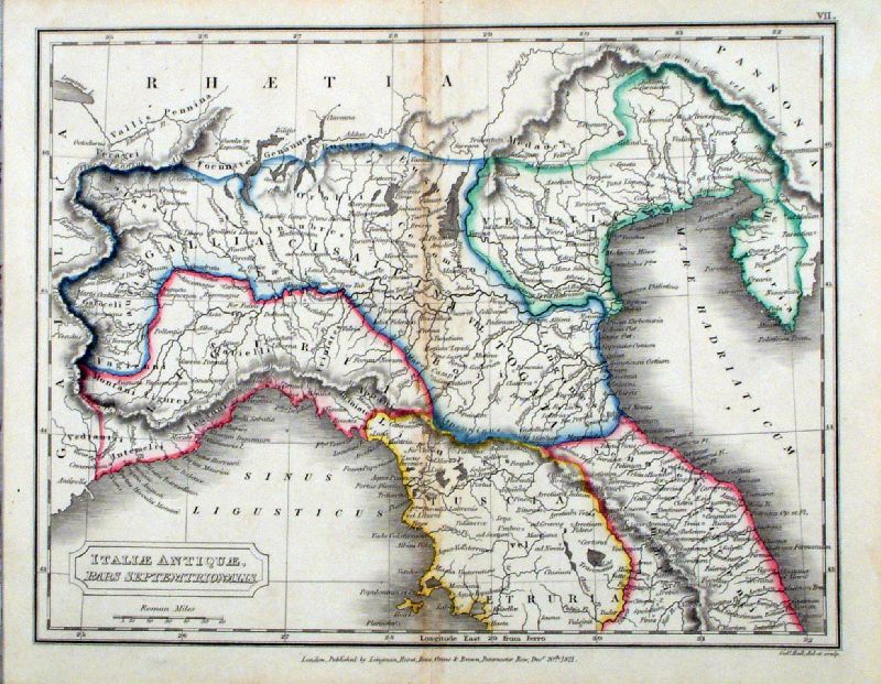
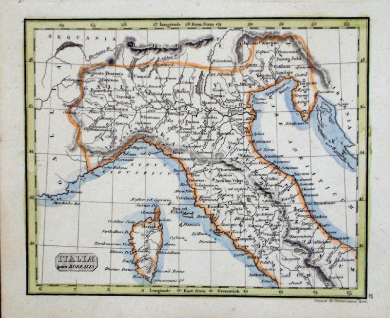
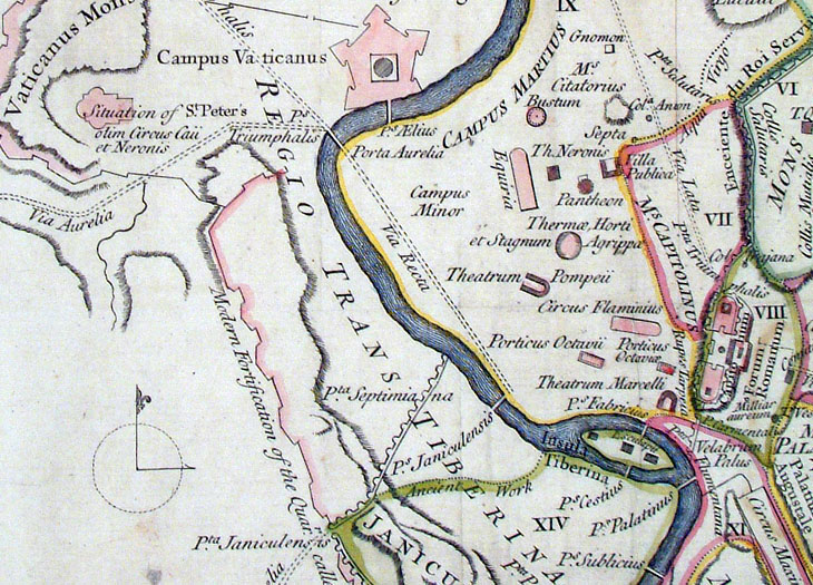
Vindelicia,
Rhaetia, Noricum Geograhia Antiqa Christophi Cellarii Christoph Cellarius 1745 Copper engraving size: 220 x 160 mm, 2 folds. Ref OKM013 £30.00 (+P&P) |
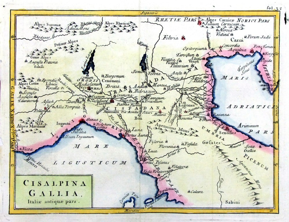 |
Cisalpina
Gallia Italiae antiquae pars Geograhia Antiqa Christophi Cellarii Christoph Cellarius 1745 Copper engraving size: 220 x 160 mm, 2 folds. Ref OKM013 £30.00 (+P&P) |
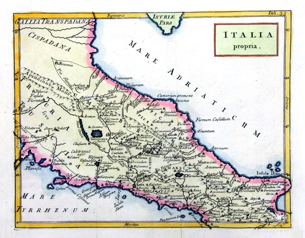 |
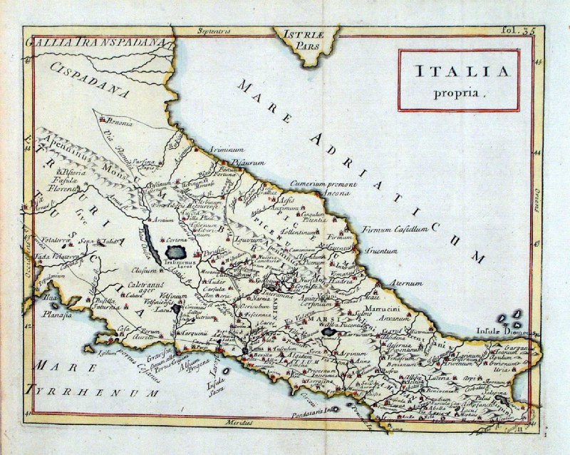
Italia
propria Geograhia Antiqa Christophi Cellarii Christoph Cellarius 1745 Copper engraving size: 220 x 180 mm, 2 folds. Ref OKM005 £30.00 (+P&P) |
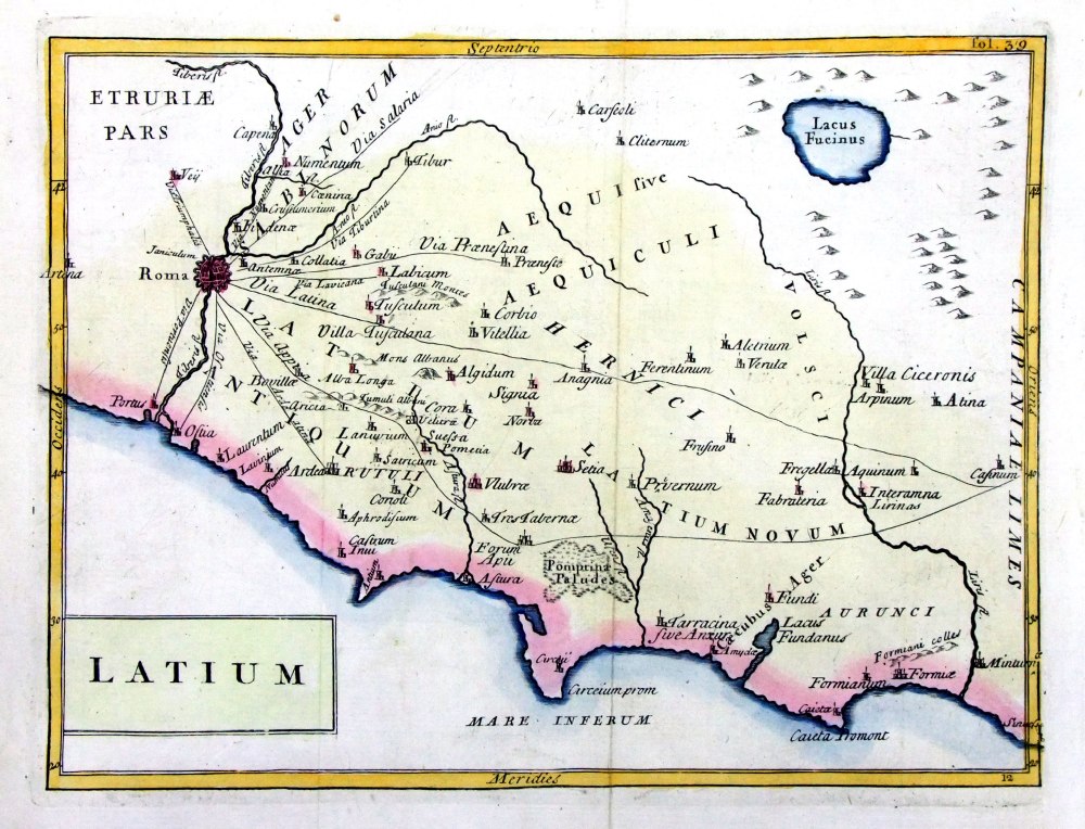 |
Latium Geograhia Antiqa Christophi Cellarii Christoph Cellarius 1745 Copper engraving size: 220 x 180 mm, 2 folds. Ref OKM006 £35.00 (+P&P) |
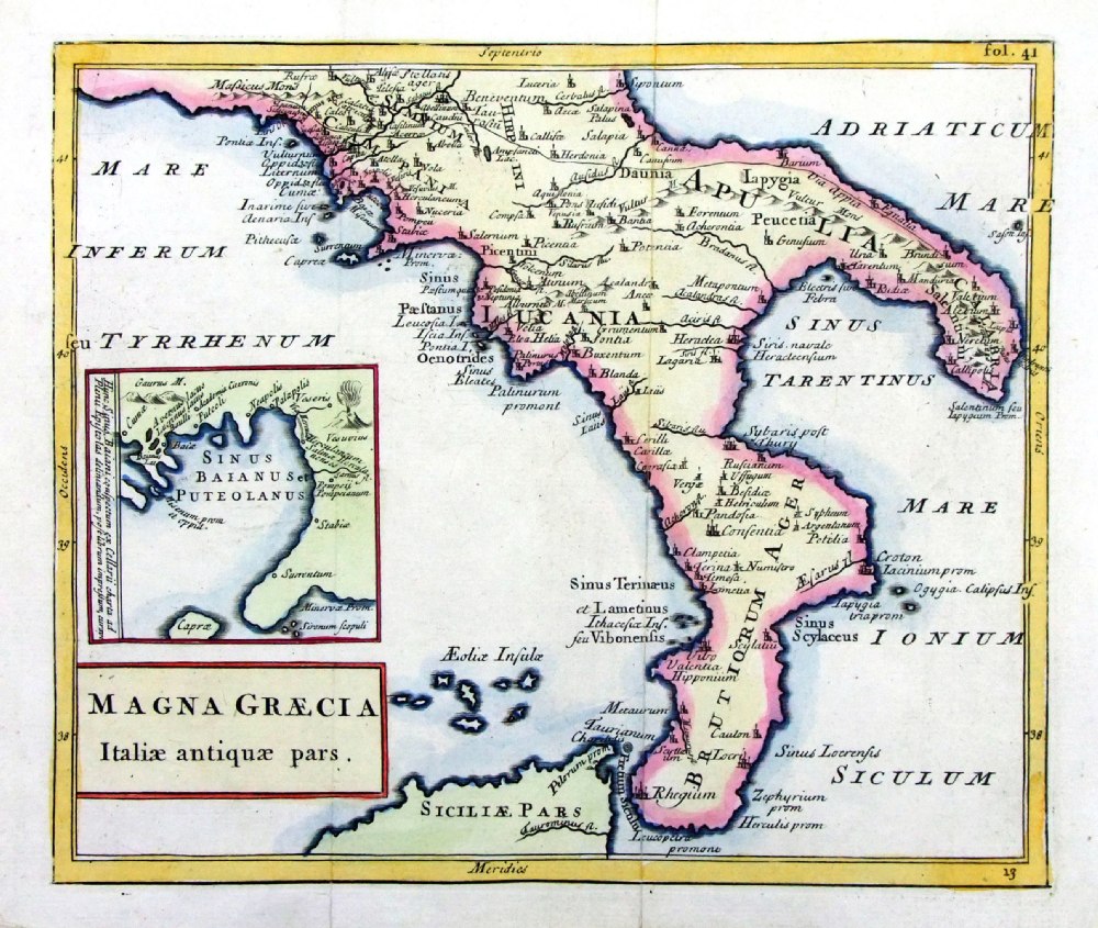 |
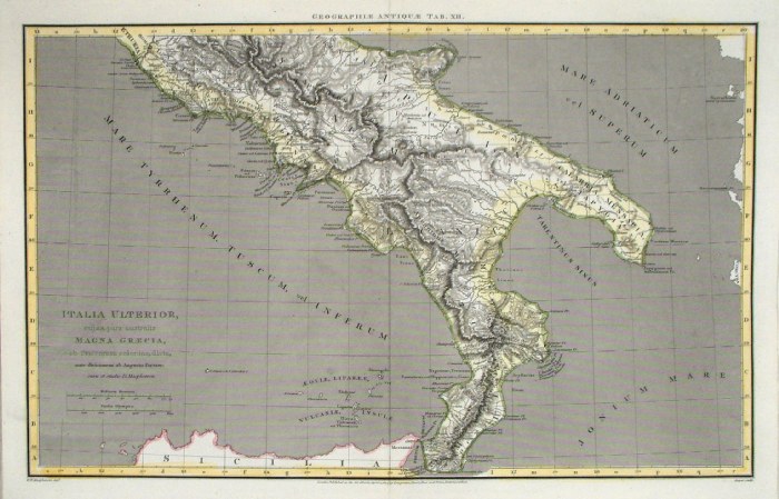
Magna
Graecia Italiae antiquae pars. Geograhia Antiqa Christophi Cellarii Christoph Cellarius 1745 Copper engraving size: 220 x 190 mm, 2 folds. Ref OKM007 £35.00 (+P&P) |
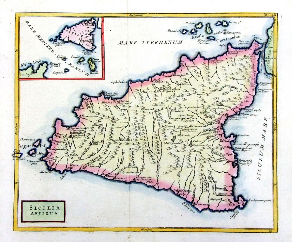 |
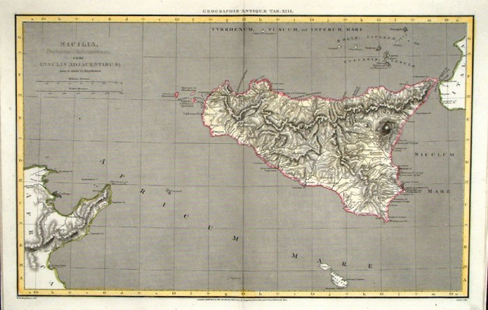
Sicilia
Antiqua Geograhia Antiqa Christophi Cellarii Christoph Cellarius 1745 Copper engraving size: 220 x 190 mm, 2 folds. Ref OKM008 £45.00 (+P&P) |
|
Vindelicia,
Rhaetia, Noricum Geograhia Antiqa Christophi Cellarii Christoph Cellarius 1745 Copper engraving size: 220 x 180 mm, 1 fold. Ref OKM013 £30.00 (+P&P) |
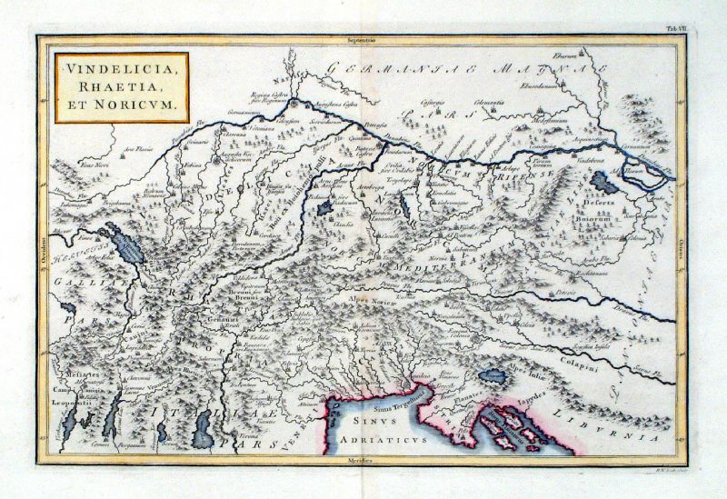 |
Vindelicia, Rhaetia, et Noricum Richard Seale Raw/Rivington 1796 Copper engraving size: 330 x 220 mm, centre fold Ref JKM080 £28.00 (+P&P) click image for enlargement |
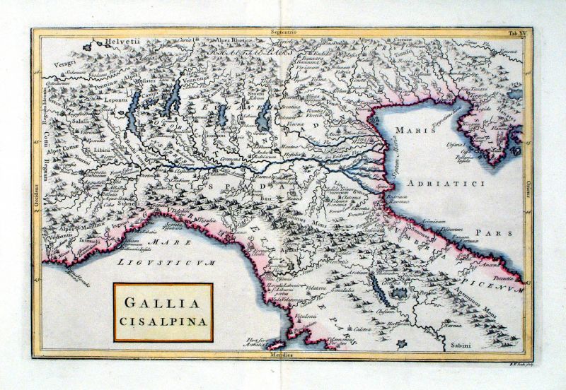 |
Gallia Cisalpina Richard Seale Raw/Rivington 1796 Copper engraving size: 330 x 220 mm, centre fold Ref JKM088 £30.00 (+P&P) click image for enlargement |
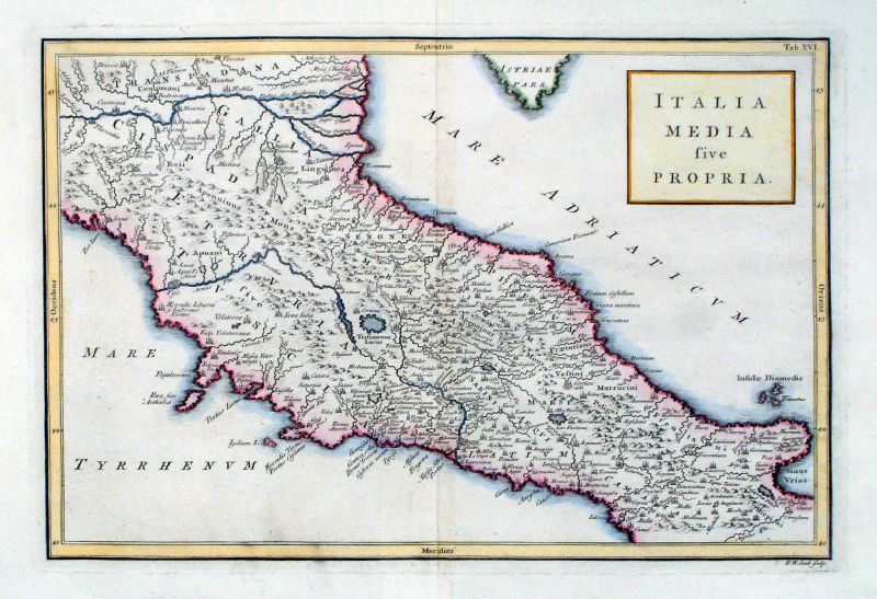 |
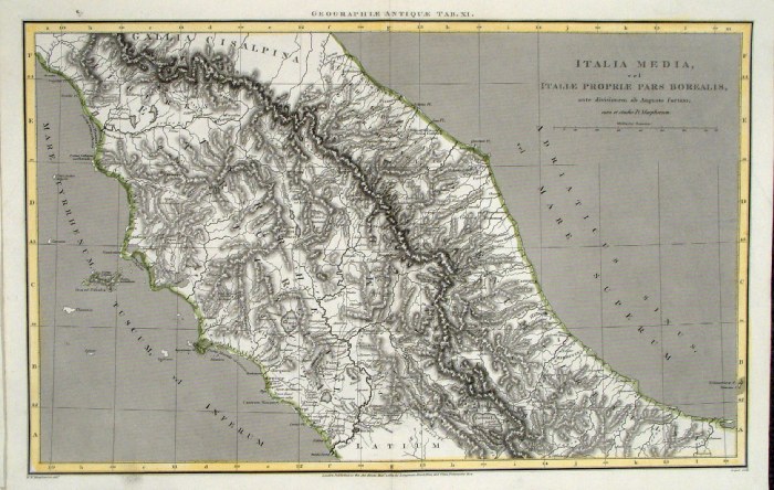
Italia Media sive Propria Richard Seale Raw/Rivington 1796 Copper engraving size: 330 x 220 mm, centre fold Ref JKM089 £30.00 (+P&P) click image for enlargement |
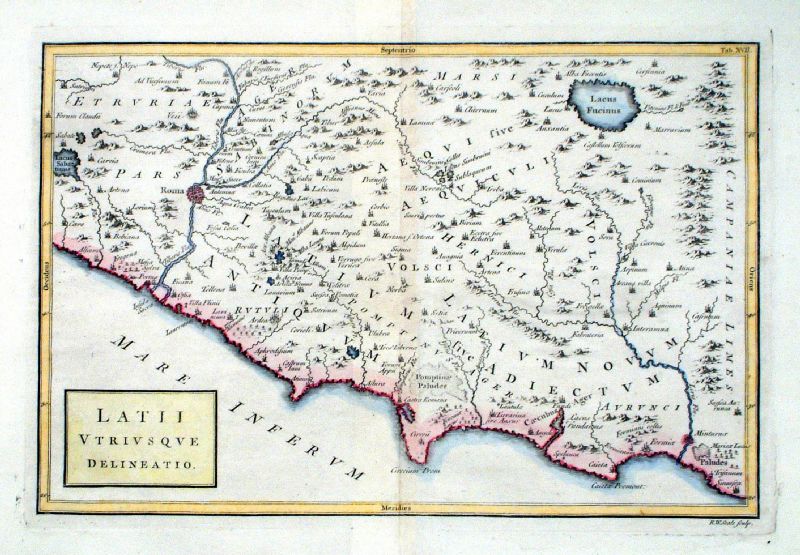 |
Latii Utriusque Delineatio Richard Seale Raw/Rivington 1796 Copper engraving size: 330 x 220 mm, centre fold Ref JKM090 £35.00 (+P&P) click image for enlargement |
 |
Rome
Roma Antiqua anon c1860 size: 290 x 230 mm, 2 folds Ref KGM017 £18.00 (+P&P) click image for enlargement |
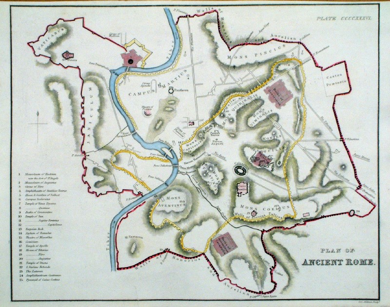 |
Plan of Ancient Rome
Aikman c1840 size:260 x 210 mm, repair to small tear at lower margin Ref JCM013 £22.00 (+P&P) Detail click image for enlargement |
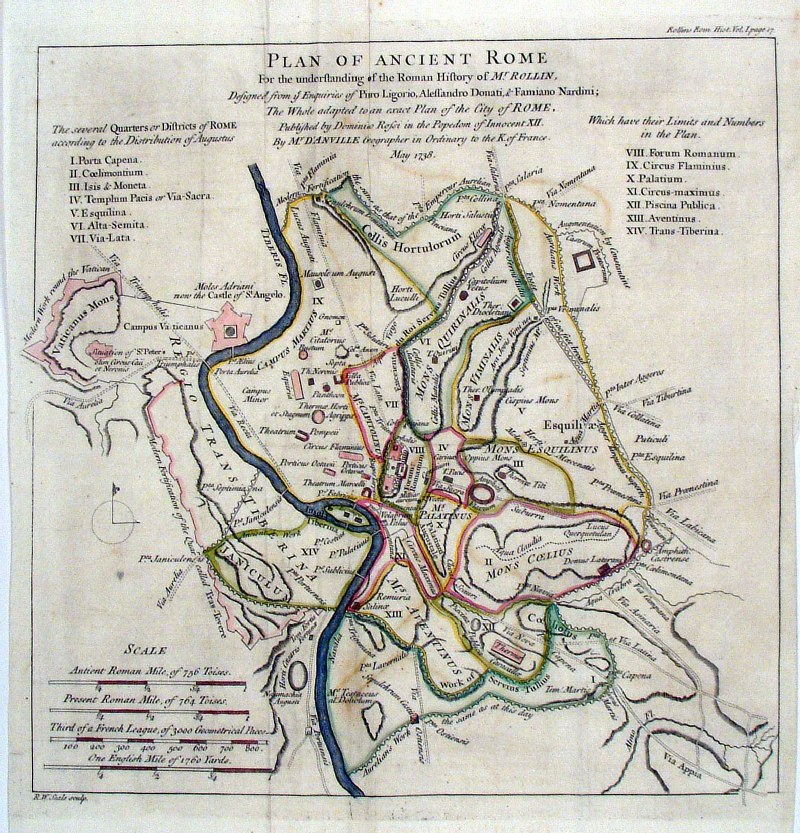 |
Ancient Rome Richard
Seale c1745 A Plan of Ancient Rome size: 270 x 300 mm several folds Ref HFM006 £32.00 (+P&P) Detail click image for enlargement |
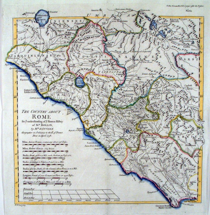 |
Ancient Rome Richard
Seale c1745 The Country about Rome size: 310 x 330 mm several folds Ref HFM003 £32.00 (+P&P) click image for enlargement |
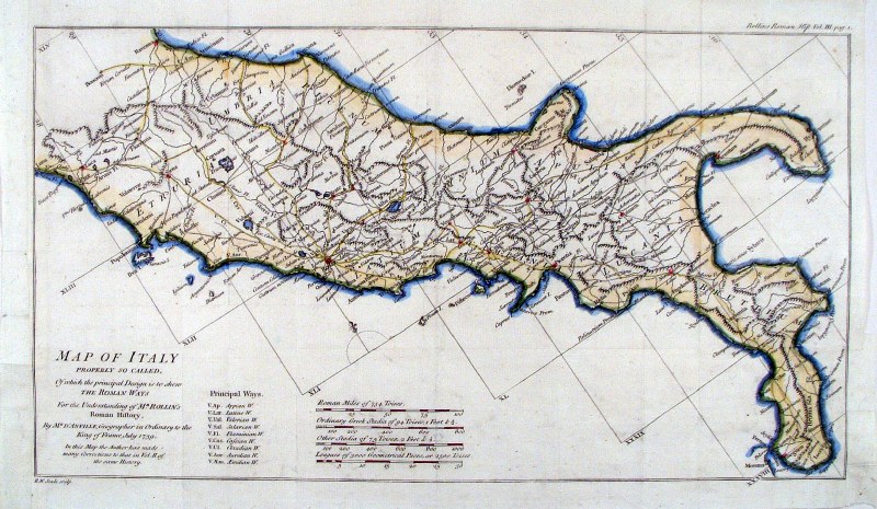 |
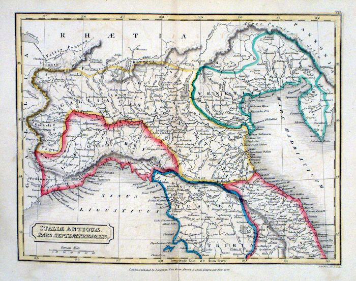
Ancient Italy Richard
Seale c1745 A Map of Italy, Properly so called ... size: 310 x 330 mm several folds Ref HFM004 £32.00 (+P&P) click image for enlargement |
 |
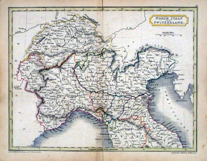
Northen Italy Gilbert /
Archer c1850 size: 310 x 260 mm Ref KFM013 £30.00 (+P&P) click image for enlargement |
 |
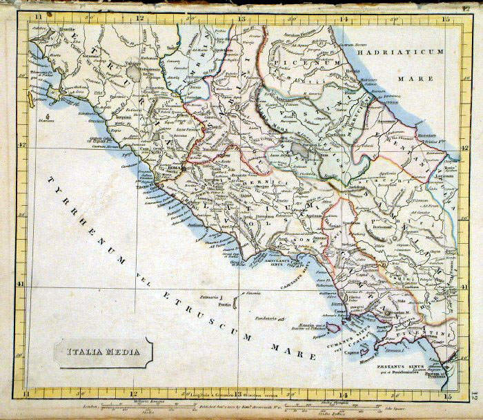
Central Italy 'Italia Propria'
Cellarius c1779 size:230 x 180 mm centre fold Ref HCS014 £35.00 (+P&P) click image for enlargement |
|
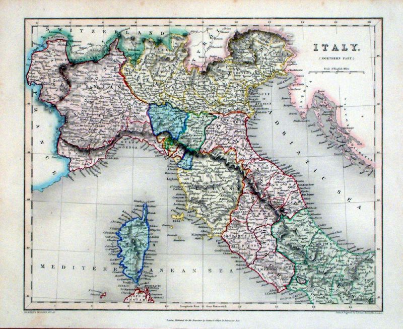
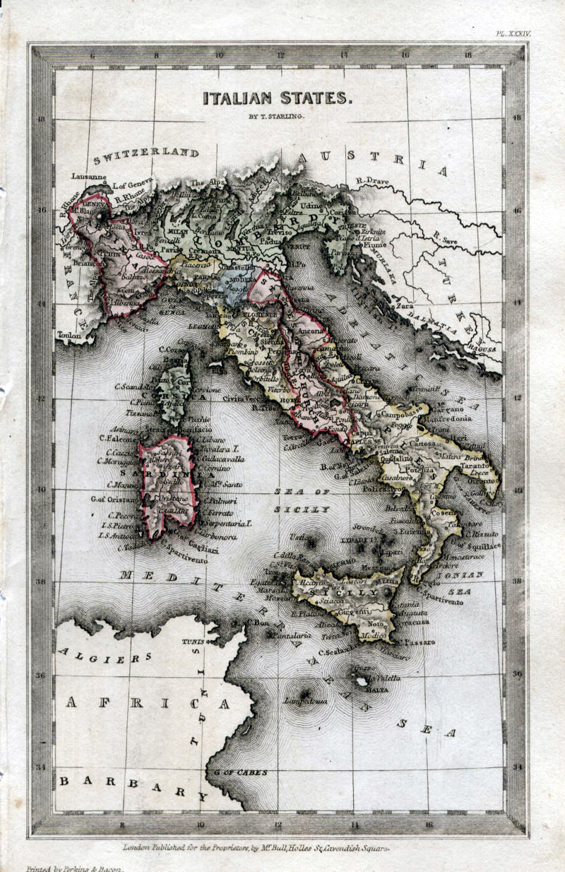
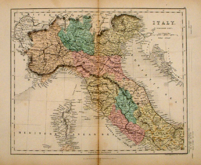
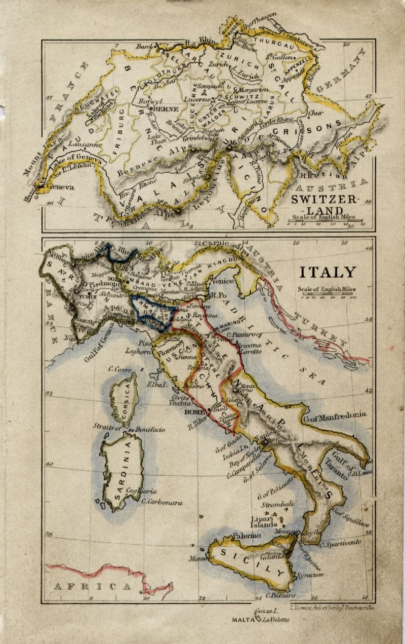
Italy (Italian States)
Thomas Starling
1843 size: 95 x 150 mm Ref GBM299 £22.00 (+P&P) click image for enlargement |
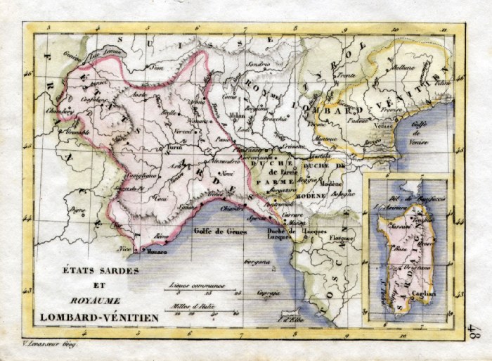 |
North Italy and Sardinia V.
Levasseur c1835 size: 130 x 100 mm Ref HAM080 £18.00 (+P&P) click image for enlargement |
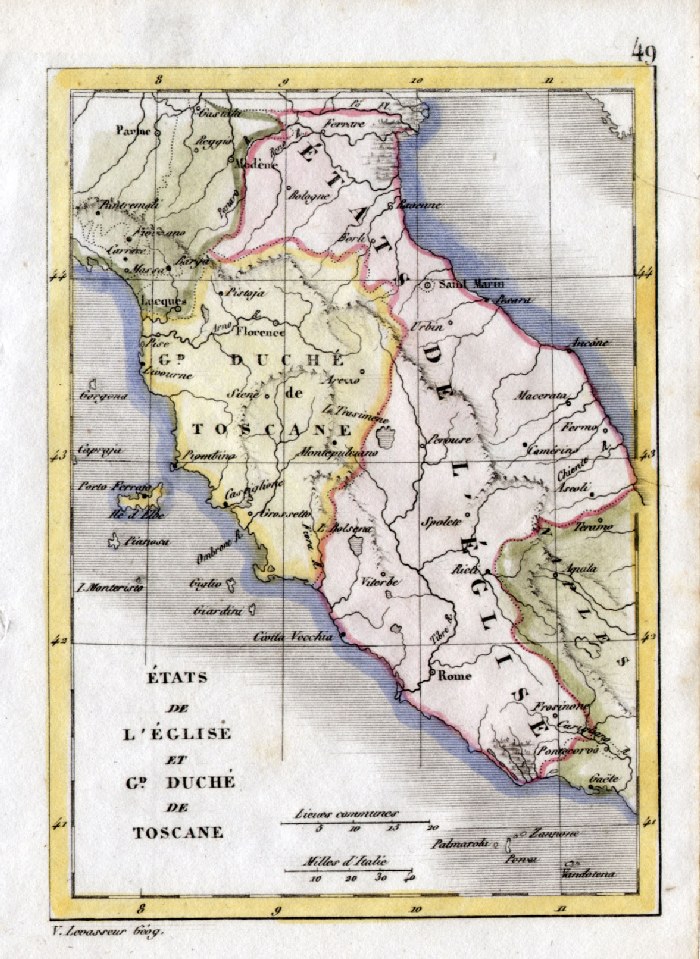 |
Central Italy - Tuscany V. Levasseur
c1835 size: 130 x 100 mm Ref HAM081 £18.00 (+P&P) click image for enlargement |
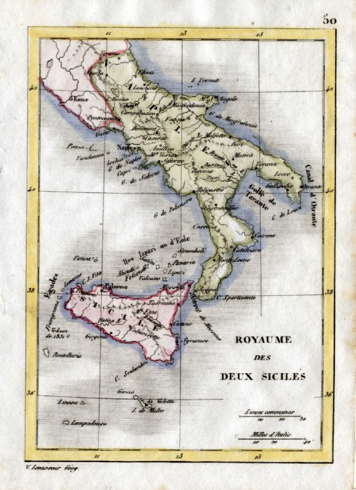 |
South Italy and Sicily V.
Levasseur c1835 size: 130 x 100 mm Ref HAM082 £18.00 (+P&P) click image for enlargement |
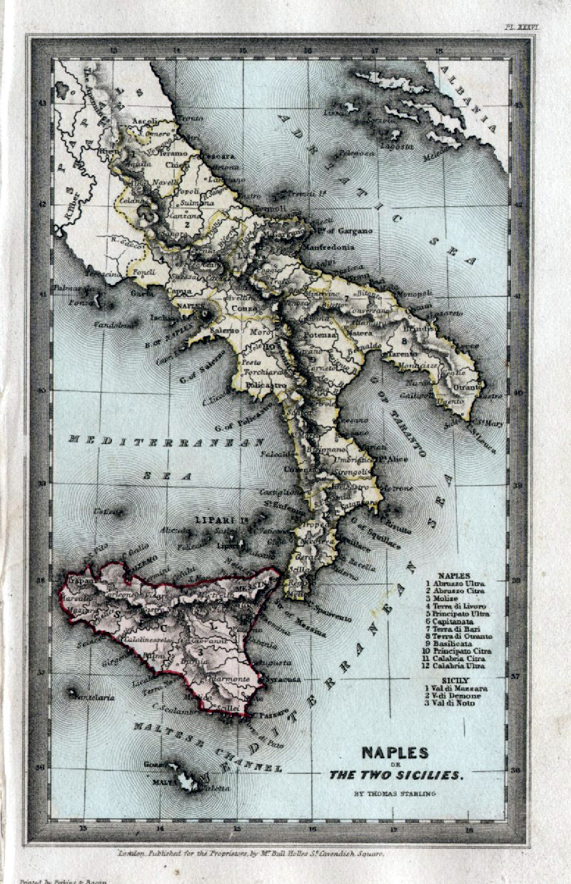 |
Southern Italy - Naples or The Two Sicilies Thomas Starling 1843 size: 95 x 150 mm Ref GBM300 £24.00 (+P&P) click image for enlargement |
 |
Alessandria, Marengo Thiers 1859 size: 310 x 240 mm Ref FFM032 £25.00 (+P&P) click image for enlargement |
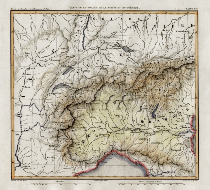 |
Piemont, Lombardie Thiers 1859 size: 250 x 240 mm Ref FFM028 £20.00 (+P&P) click image for enlargement |
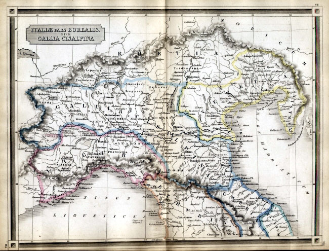 |
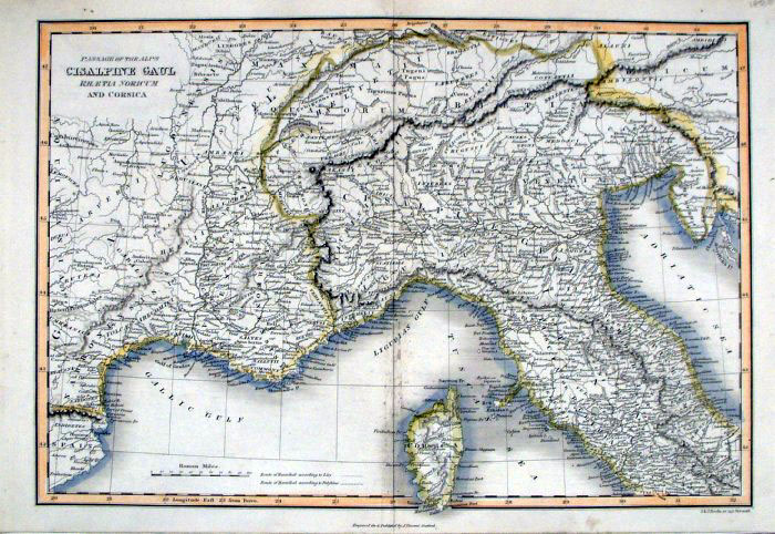
Ancient Northern Italy
Bohn 1861 Steel
Engraving size: 320 x 240
mm Italiae pars Borealis sive Gallia Cisalpina Ref EKM024 £18.00 (+P&P) click image for enlargement |
 |
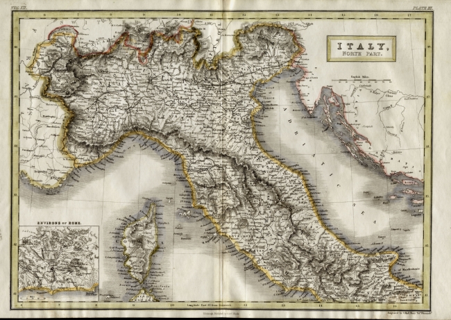
Italy (North)
Mackenzie 1868 Ref FBM033 % £10.00 (+P&P) size: 260 x 340 mm Strengthened centrefold. Discolouration on centrefold (not as severe as illustrated!) click image for enlargement |
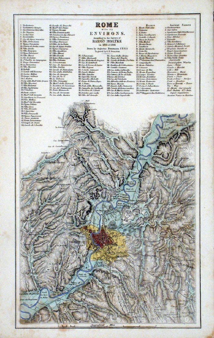 |
Rome with its Environs
Swanston / Fullarton c1861 Ref GBM245 £20.00 (+P&P) size: 150 x 250 mm Slight discolouration / foxing - more noticeable from rear. click image for enlargement |
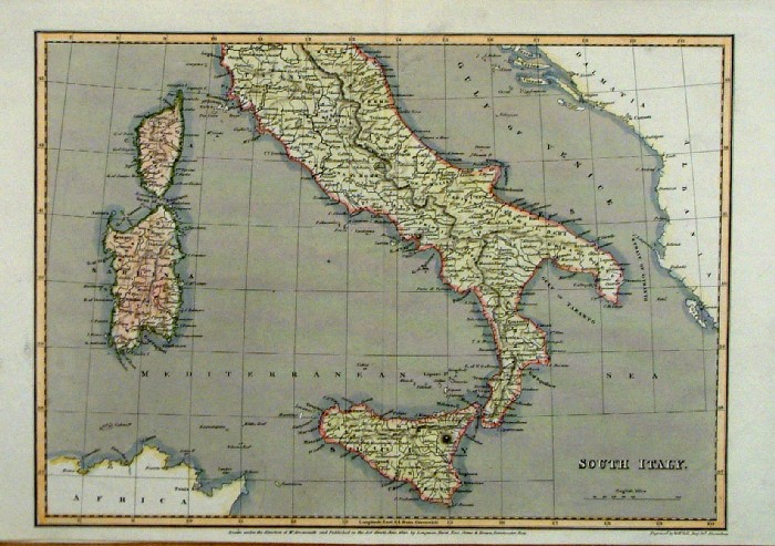 |
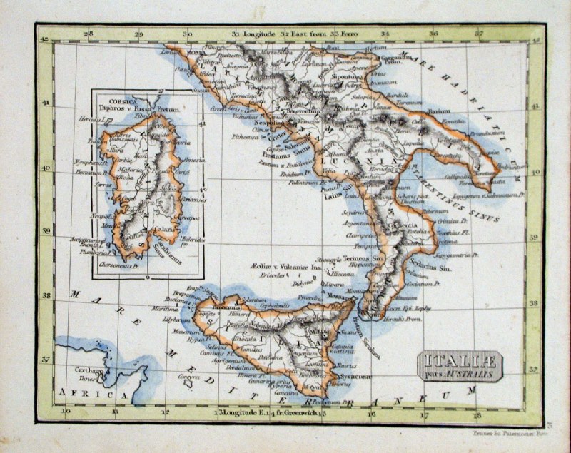
South Italy and Sicily by Sidney Hall,
Published by Arrowsmith 1820 Ref FCM015 £24.00 (+P&P) size: 260 x 340 mm Strengthened centrefold. Discolouration on centrefold (not as severe as illustrated!) click image for enlargement |
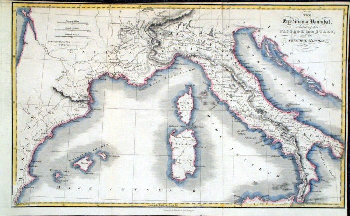 |
The Expedition of Hannibal .. into Italy
R. Scott 1863 size: 350x 210 mm 2 folds, tight top & right margins, 2 small repairs Ref GBM340 £15.00 (+P&P) click image for enlargement |
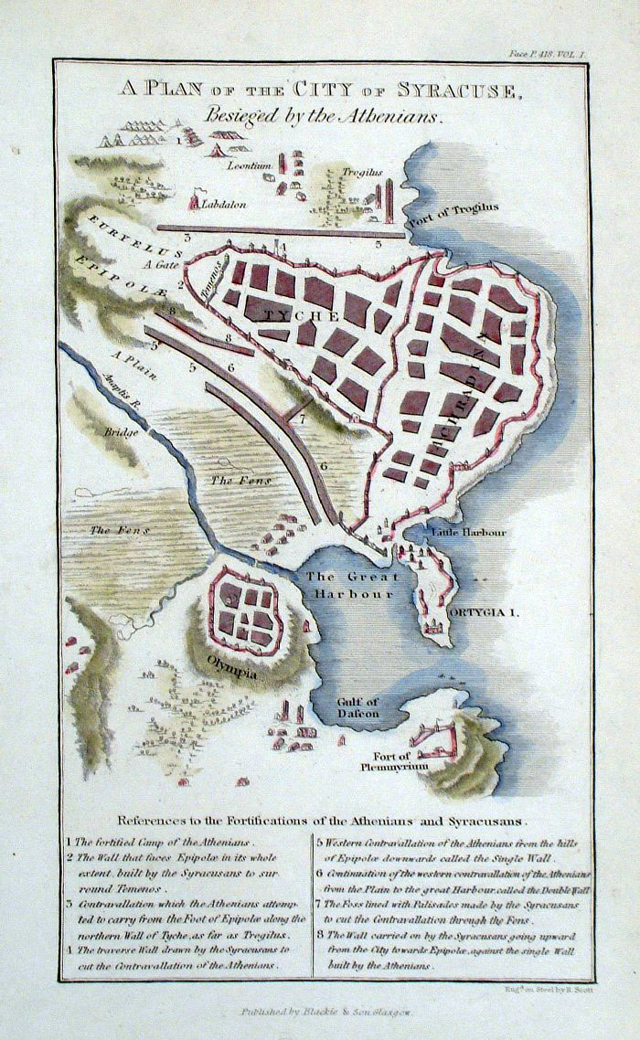 |
Syracuse, Sicily
R. Scott 1863 A Plan of the City of Syracuse, Besieged by the Athenians size: 120x 200 mm Ref GBM344 £22.00 (+P&P) click image for enlargement |
 |
Ancient Mid Italy
Bohn 1861 Steel
Engraving size: 320 x 240
mm Italia Media Ragged left and right margins Ref EKM025 % £18.00 (+P&P) click image for enlargement |
 |
Northern Italy Sidney
Hall
c1854
size 400 x 270 mm Inset of Rome Ref EKM137 % £22.00 (+P&P) click image for enlargement Detail |
 |
Northern Italy Neele /
Vincent c1828
size 390 x 200 mm, centre fold Passage of the Alps Cisalpine Gaul ... Ref FAM029 % £22.00 (+P&P) click image for enlargement |
|
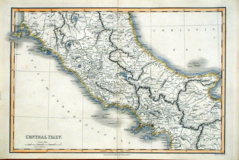
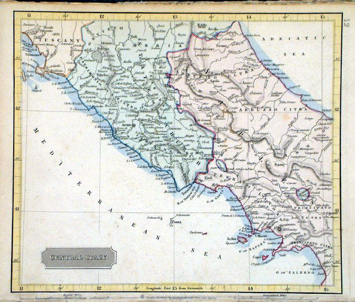
Central Italy Neele /
Vincent c1828
size 390 x 200 mm, centre fold Ref FAM031 % £22.00 (+P&P) click image for enlargement |
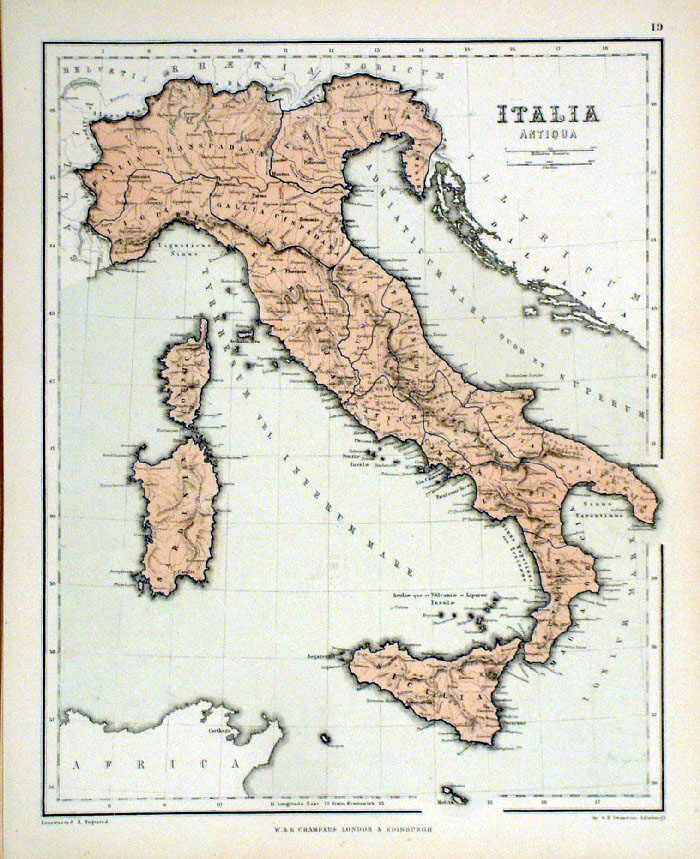 |
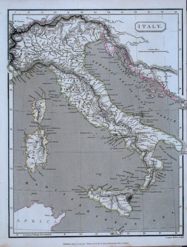
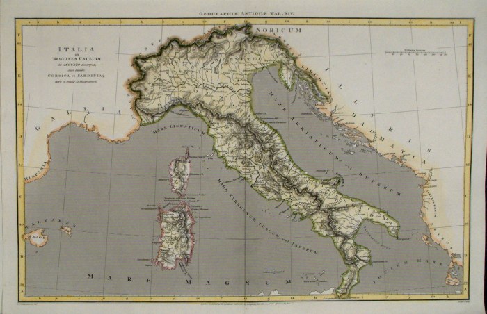
Ancient
Italy Chambers
1855
size:
240 x 300 mm Ref FDM140 % £14.00 (+P&P) click image for enlargement |
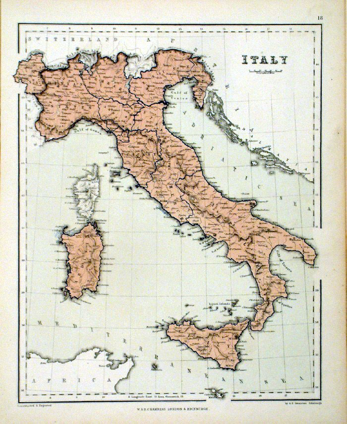 |
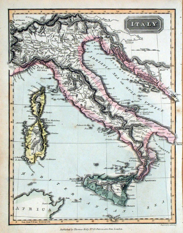
Italy
Chambers
1855
size: 240 x 300 mm Ref FDM139 % £16.00 (+P&P) click image for enlargement |
 |
Italy
Cooper 1809
size: 200 x
250mm Ref GCM036 % £16.00 (+P&P) click image for enlargement |
 |
Northern Italy & Switzerland
Sidney Hall 1845 Ref GBM200 £20.00 (+P&P) size: 250 x200 mm click image for enlargement |
 |
Ancient Northern Italy Sidney
Hall 1821 Ref JBM011 £16.00 (+P&P) size: 250 x190 mm, centre fold, slight foxing at fold. click image for enlargement |
 |
Ancient Northern Italy Sidney
Hall 1829 Ref FIM011 % £16.00 (+P&P) size: 250 x190 mm Slight printing transfer from folded page. click image for enlargement |
 |
Ancient Southern Italy & Sicily
Sidney Hall 1829 Ref FIM010 £18.00 (+P&P) size: 190 x 250 mm Slight printing transfer from folded page. click image for enlargement |
 |
Italy Findlay /
Kelly size: 200 x 250 mm Ref JGM005 £18.00 (+P&P) click image for enlargement |
 |
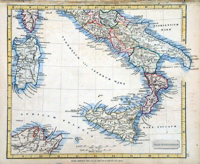
Ancient Italy Cooper /
Arrowsmith 1807
size: 410x 260 mm Centre Fold Ref FIM112 % £18.00 (+P&P) click image for enlargement |
 |
Ancient Mid Italy Cooper /
Arrowsmith 1807
size: 410x 260 mm Centre Fold Ref FIM109 % £16.00 (+P&P) click image for enlargement |
 |
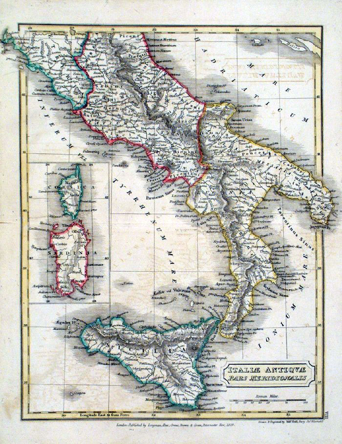
Ancient South Italy Cooper /
Arrowsmith 1807
size: 410x 260 mm Centre Fold Ref FIM110 £16.00 (+P&P) click image for enlargement |
 |
Ancient Sicily Cooper
/ Arrowsmith 1807
size: 410x 260 mm Centre Fold Ref FIM111 £18.00 (+P&P) click image for enlargement |
 |
Ancient Northern Italy
Samuel Arrowsmith 1836 Ref FHM146 % £18.00 (+P&P) size: 240 x 210 mm click image for enlargement |
 |
Central Italy Samuel
Arrowsmith 1836 Ref FHM147 % £18.00 (+P&P) size: 240 x 210 mm click image for enlargement |
 |
Ancient Central Italy
Samuel Arrowsmith 1836 Ref FHM148 £18.00 (+P&P) size: 240 x 210 mm click image for enlargement |
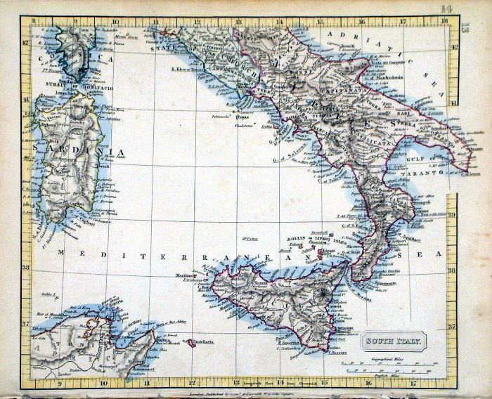 |
Southern Italy and Sicily
Samuel Arrowsmith 1836 Ref FHM149 £22.00 (+P&P) size: 240 x 210 mm click image for enlargement |
 |
Ancient Southern Italy
Samuel Arrowsmith 1836 Ref FHM150 £22.00 (+P&P) size: 240 x 210 mm click image for enlargement |
|
Italy and Switzerland
John Dower / James Cornwell c1850 Ref GFM060 % £18.00 (+P&P) size: 150 x 95 mm, slightly soiled surface click image for enlargement |
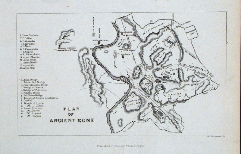 |
Plan of Ancient Rome Blackie
c1870 Ref GIM045 % £16.00 (+P&P) size: 140 x 100 mm click image for enlargement |
 |
Ancient North Italy
Fenner 1828 size 150 x 120 mm Ref GIM027 % £12.00 (+P&P) click image for enlargement |
 |
Ancient Italy - Roman Empire
Fenner 1828 size 150 x 120 mm Ref GIM025 % £12.00 (+P&P) click image for enlargement |
 |
Ancient South Italy
Fenner 1828 size 150 x 120 mm Ref GIM026 % £12.00 (+P&P) click image for enlargement |
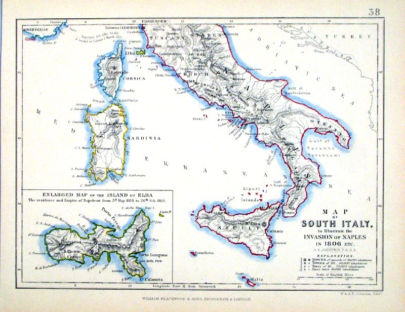 |
South Italy and Sicily Johnston
/ Blackwood c1880 size 230 x 170 mm Large inset map of Elba Ref IBM012 £16.00 (+P&P) [ IBM011 ] click image for enlargement |
|
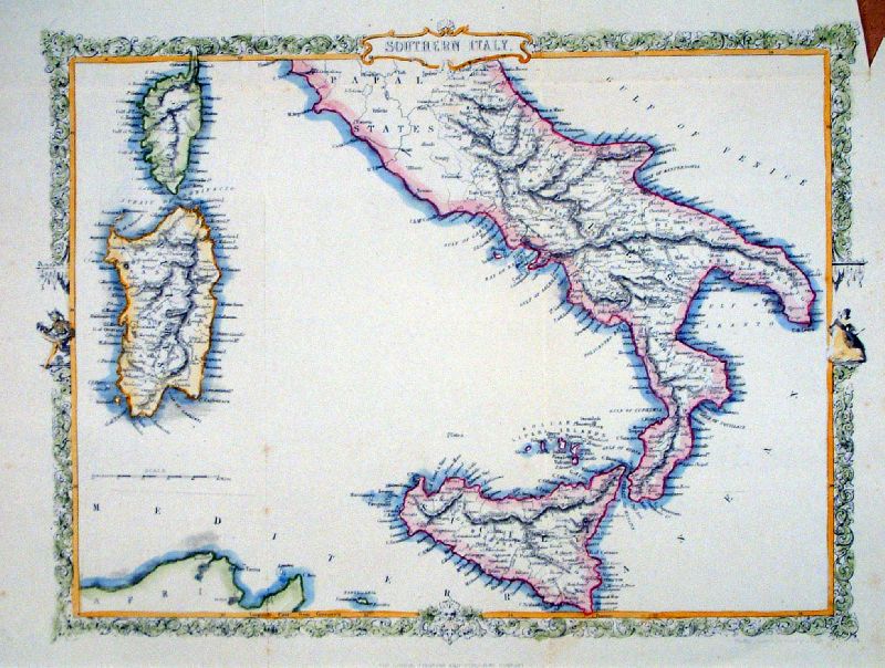
Southern Italy
Rapkin c1860 size 330 x 250 mm, several folds, notch in top-right margin Ref LCM004 £26.00 (+P&P) click image for enlargement |
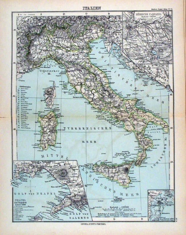 |
Italien Steiler /
Perthes 1895 size: 300 x 240 mm, centre fold. insets of Naples & Venice Ref HHM072 £16.00 (+P&P) click image for enlargement |
|
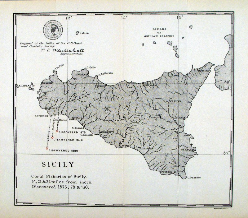
'Sicily - Coral Fisheries of Sicily' United States Coast and Geodetic Survey 1895 Map of designated coral fishing grounds. Litho size: 250 x 220 mm Ref HLM049 £28.00 (+P&P) click image for enlargement |
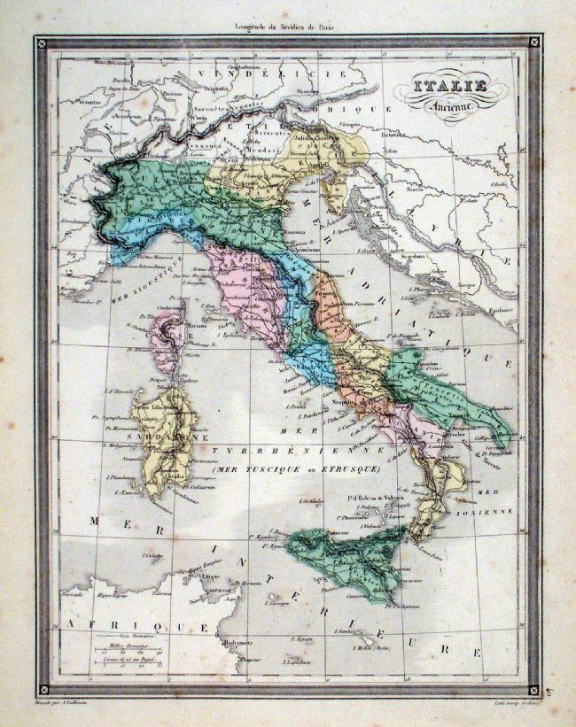 |
Italie Ancienne Vuillemin 1851 size: 210 x 270 mm a few faint spots of foxing Ref JDM058 £12.00 (+P&P) click image for enlargement |
Luxembourg |
|
Macedonia See Greece. Many of the countries around the Adriatic were previously mapped with Greece and Turkey |
|
Mediterranean Sea and Islands |
|
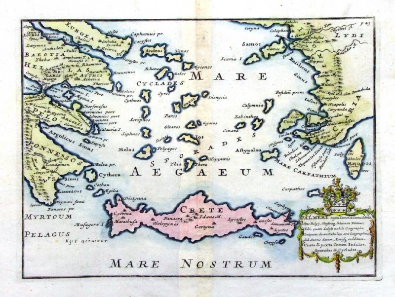 |
Ancient Crete
Crete & juxta Cretan Insulae, Sporades
Y Cyclades. from De Situ Orbis by Pomponius Mela. Published by Philippum Bishop, Exeter, 1711 Copper engraving size 270 x 200 mm, centre fold Ref PDM018 £75.00 (+P&P) click image for enlargement |
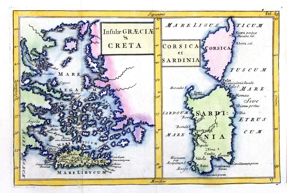 |
Insula
Graecia & Creta
/ Corsica et Sardinia Geograhia Antiqa Christophi Cellarii Christoph Cellarius 1745 Copper engraving size: 220 x 150 mm, 2 folds. Ref OKM016 £40.00 (+P&P) click image for enlargement |
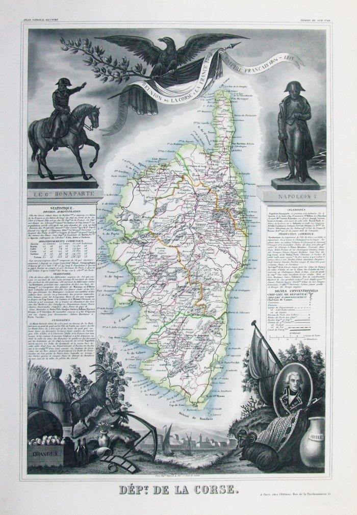 |
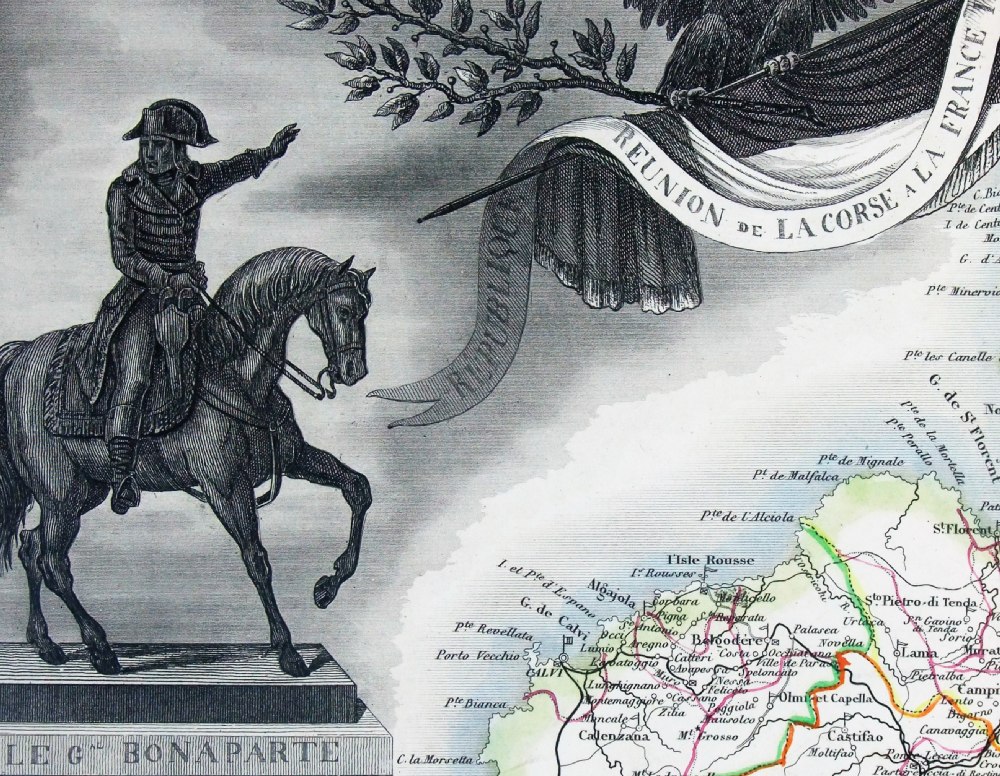
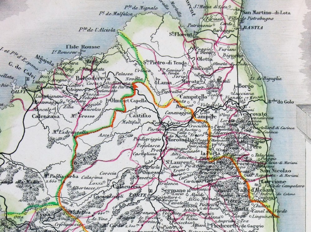
Corsica
Dept de la Corse Victor Levasseur 1856 Detail 1 Detail 2 Steel engraving size 320 x 460 mm Ref PFM020 £60.00 (+P&P) click image for enlargement |
|
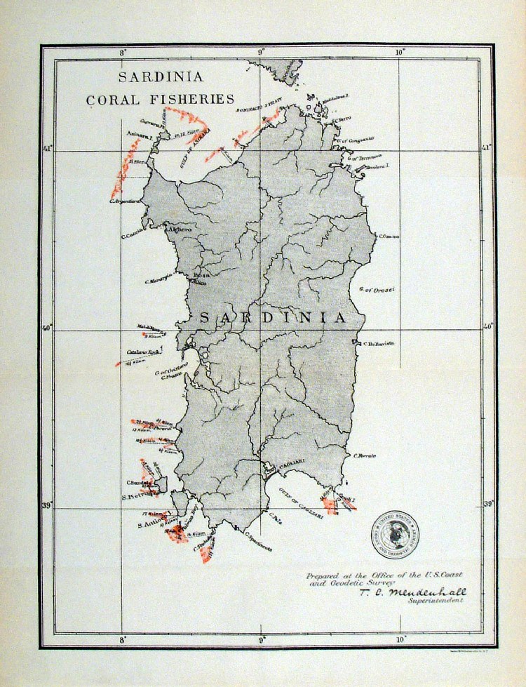
'Sardinia Coral Fisheries of Sicily' United States Coast and Geodetic Survey 1895 Map of designated coral fishing grounds. Litho size: 210 x 260 mm Ref HLM042 £30.00 (+P&P) click image for enlargement |
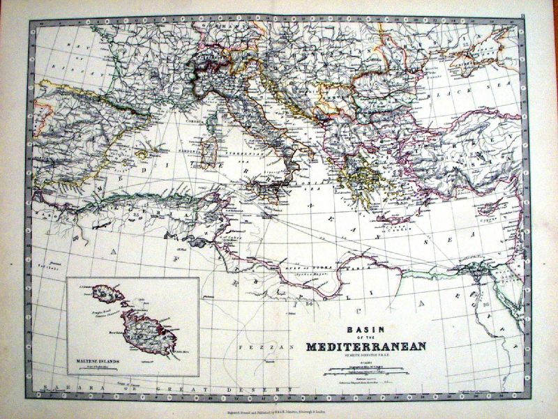 |
Basin of the Mediterranean
Johnston 1885 Inset of Maltese Isalnds size 460 x 350 mm Ref KGM070 £24.00 (+P&P) click image for enlargement |
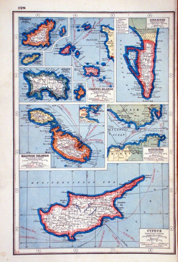 |
Cyprus, Malta,
Gibraltar and the Channel Islands IHarmsworth c1900 size 230 x 340 mm Ref LAM024 £20.00 (+P&P) click image for enlargement |
Netherlands - See Holland |
|
| |
Poland |
 |
The Plan of Schweidnitz
(Swidnica) London Magazine 1758 size 260 x 205 mm, 2 folds, tight top margin Ref KHM029 £45.00 (+P&P) click image for enlargement |
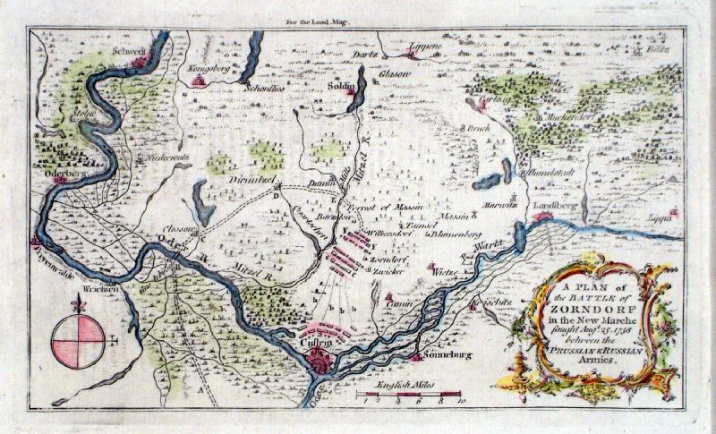 |
A Plan of the Battle of Zorndorf in the New Marche
... Kitchin / London Magazine 1758 Copper engraving size: 200 x 120 mm Ref KHM017 £30.00 (+P&P) click image for enlargement |
| |
Portugal |
| Portugal - Sold Out. |
|
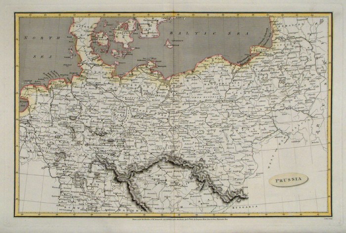
Prussia |
|
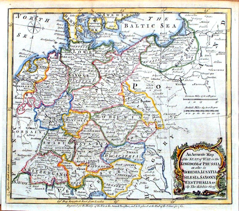 |
Prussia An accurate Map of the seat of war in the Kingdom of Prussia, as also in Bohemia, Lusatia, Silesia, Saxony , Westphalia &c Thomas Kitchin 1763 size: 250 x 200 mm 2 folds Ref ICM018 £35.00 (+P&P) click image for enlargement |
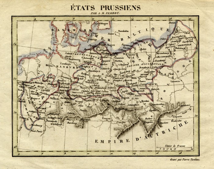 |
Prussia Perrot c1830
Engraved by P. Tardieu size: 200 x 160 mm Ref FEM017 £16.00 (+P&P) click image for enlargement |
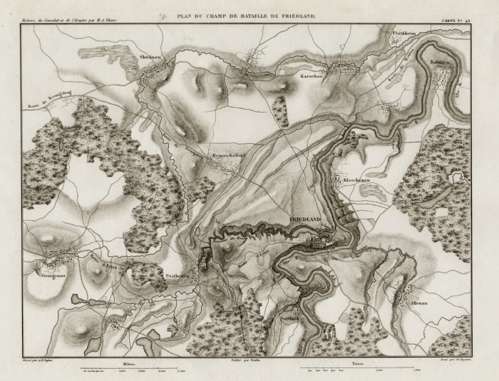 |
'Plan du Champ de Bataille de Friedland' Thiers 1859 size: 300 x 240 mm Ref FFM029 £22.00 (+P&P) click image for enlargement |
|
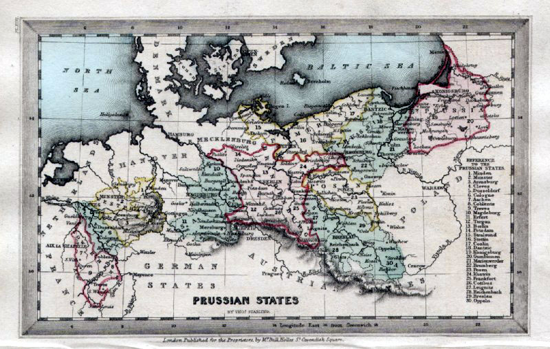
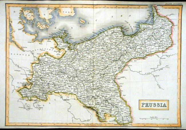
Prussia Thomas
Starling 1843 size: 95 x 150 mm Ref GBM305 £18.00 (+P&P) click image for enlargement |
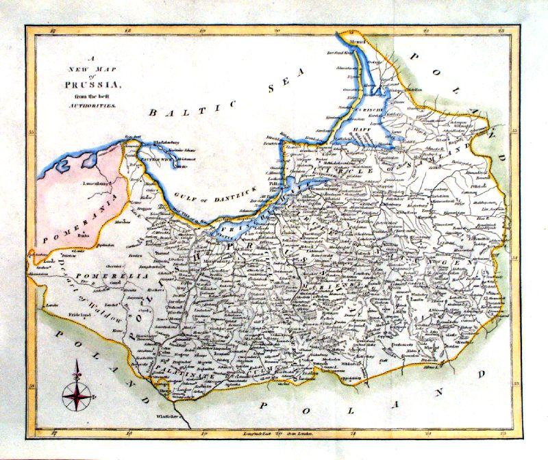 |
Prussia anon
c1800 size: 290 x 240 mm Ref ICM013 £18.00 (+P&P) click image for enlargement |
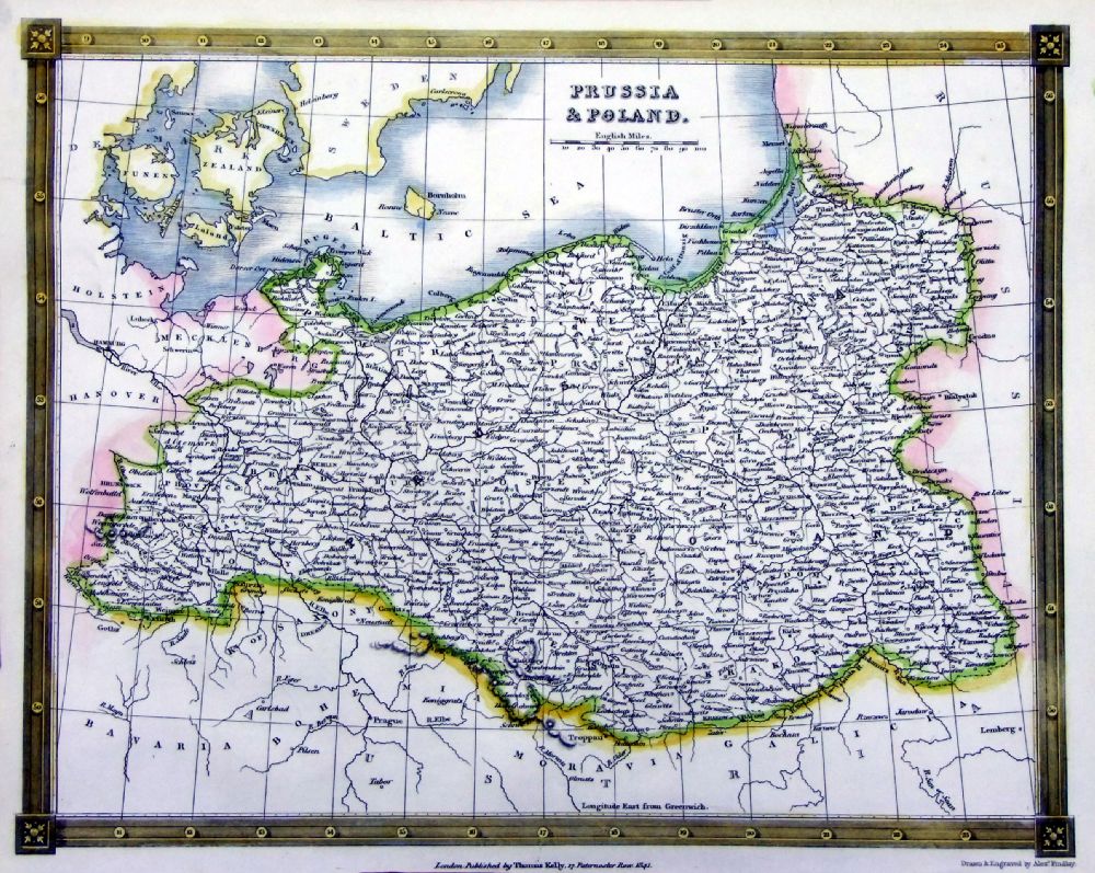 |
Prussia & Poland
Thomas Kelly 1841
engraved by Alex Findlay size: 200x 260 mm Ref OHM005 £20.00 (+P&P) click image for enlargement |
 |
Prussia Cooper / Macpherson
1810
size: 250 x 200mm Ref GCM022 % £18.00 (+P&P) click image for enlargement |
 |
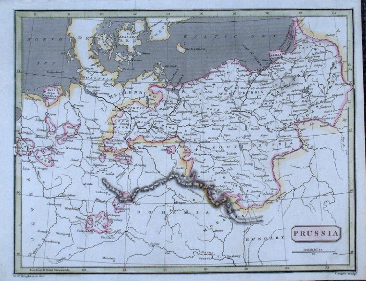
Prussia Alexander
Cooke 1807
size: 280x
230 mm 2 folds Ref FHM060 £16.00 (+P&P) click image for enlargement |
 |
Prussia V. Levasseur c1835 size: 130 x 100 mm Ref HAM073 £15.00 (+P&P) click image for enlargement |
 |
Prussia Sidney Hall
1842
size 400 x 270 mm Ref EKM070 £18.00 (+P&P) click image for enlargement |
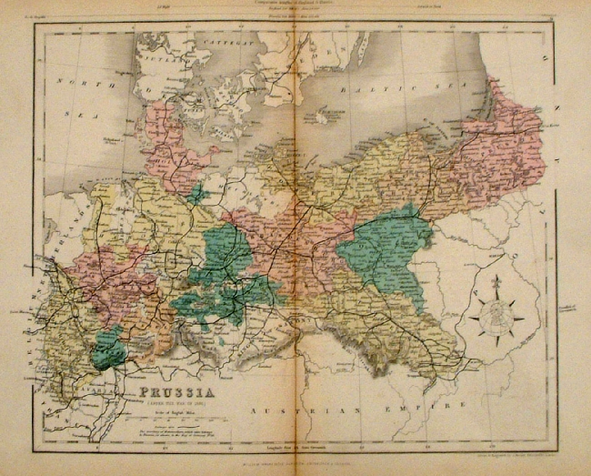 |
Prussia Mackenzie
1868 Ref FBM021 % £10.00 (+P&P) size: 260 x 340 mm Strengthened centrefold. Discolouration on centrefold (not as severe as illustrated!) click image for enlargement |
 |
Prussia
Lowry / Arrowsmith 1808
size: 410x 260 mm Centre Fold Ref FIM081 % £16.00 (+P&P) click image for enlargement |
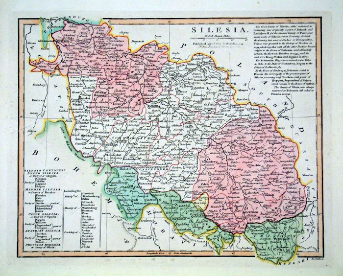 |
Silesia Smith
c1847 size:
300 x 250 mm Ref FHM028 £16.00 (+P&P) click image for enlargement |
|
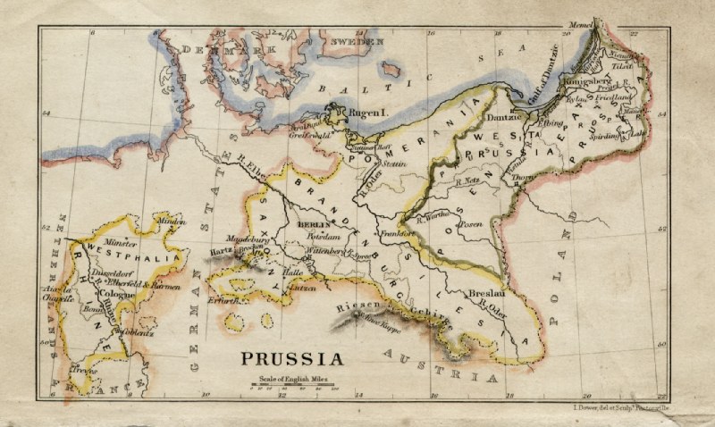
Prussia John Dower /
James Cornwell c1850 Ref GFM059 % £16.00 (+P&P) size: 150 x 95 mm, slightly soiled surface, pencil marks on reverse click image for enlargement |
| All Genuine Antiquarian Maps - No Reproductions or Modern Copies |
![[ IBM011 ]](maps-europe/Ix/IBM011.JPG)
2023

