Past Pages
Antique Maps, Prints and Ephemera
Antique Maps of Europe
R to T (Russia to Turkey)
European Countries in Alphabetic order.Check for common groupings like Belgium & Holland or Holland & Belgium.
Check for dual namings such as Holland / Netherlands.
Check for regions such as Balkans.
Check for historic changes such as Greece/Turkey
Cities and regions will be listed under their country.

Russia ( Russia in Europe )
|
|
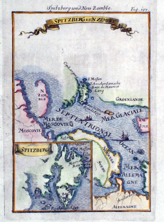 |
Spitzberg et Zemble Spitzbergen and Northern Russia Mallet 1719 ( German edition ) Engraved in reverse. Thought to be an early error of the German edition with the plates being engraved with a reverse image. Plates were subsequently engraved with correct aspect of the maps. size: 120 x 170 mm Ref IKM005 £28.00 (+P&P) click image for enlargement |
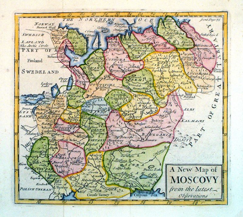 |
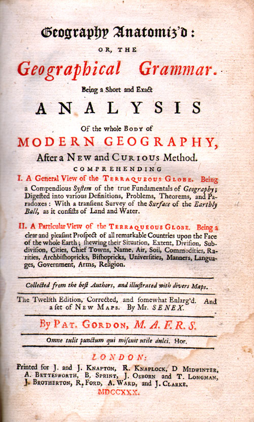
A New Map of Moscovy
from the Latest Observations John Sennex 1730 From Gordon's Geography - view Title Page size: 190 x 180 mm, 2 folds Antique Map Ref LFM004 £60.00 (+P&P) click image for enlargement |
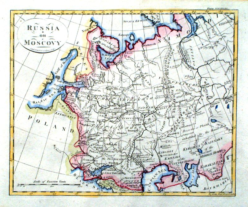 |
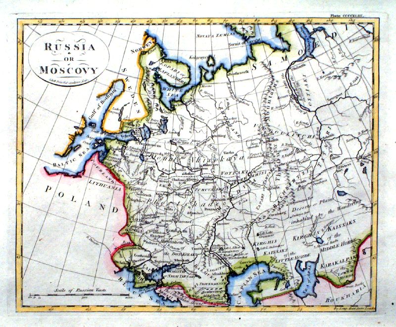
Russia or Moscow
Andrew Bell c1795
size 220 x 180 mm Ref IDM008 £22.00 (+P&P) Ref IDM009 £22.00 (+P&P) click image for enlargement |
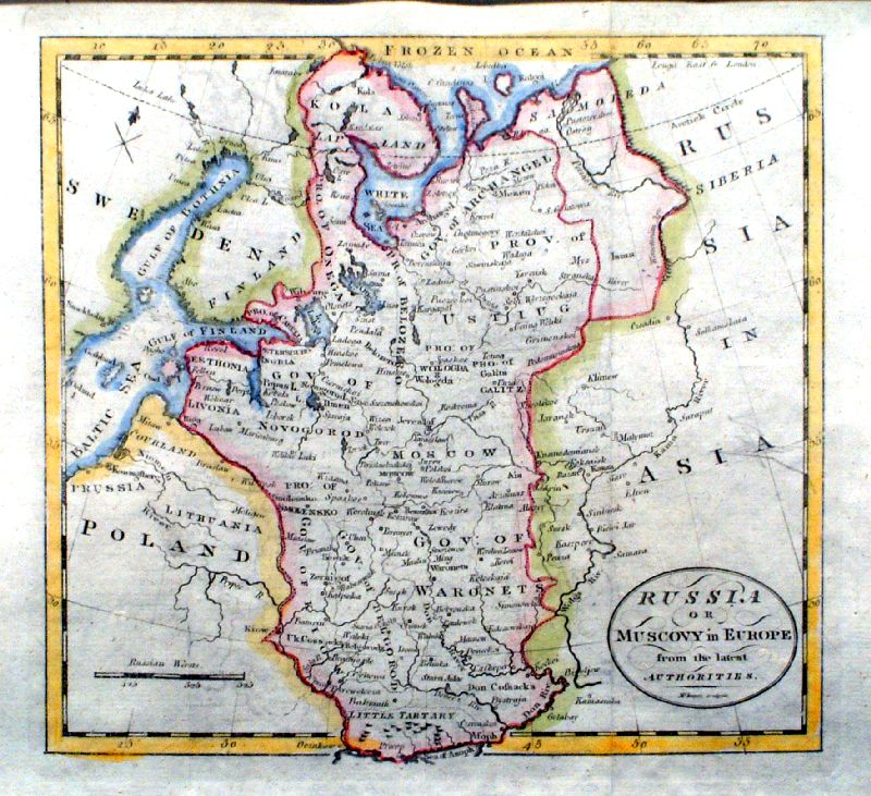 |
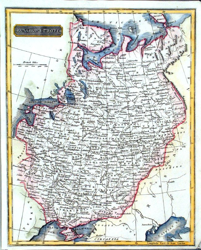
Russia or Muscovy in Europe
McIntyre c1795 size 220 x 200 mm, 2 folds Ref IDM007 £24.00 (+P&P) click image for enlargement |
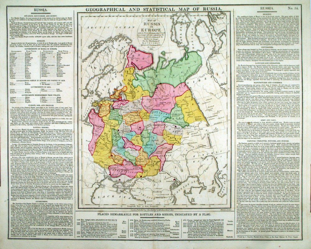 |
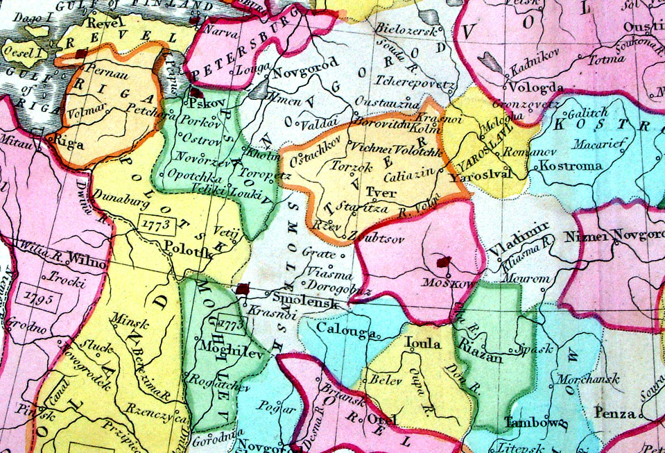
Geographical and
Statistical Map of Russia Map engraved by J. Walker. Set with statistical data. From Lavoisne's Genealogical, Historical, Chronological and Geographical Atlas 1827 - Title Page For Statistics Tables and Charts from this atlas see Charts and Tables Page Copper engraving page size: 530 x 420 mm, centre fold. Ref LHM059 £50.00 (+P&P) Detail click image for enlargement |
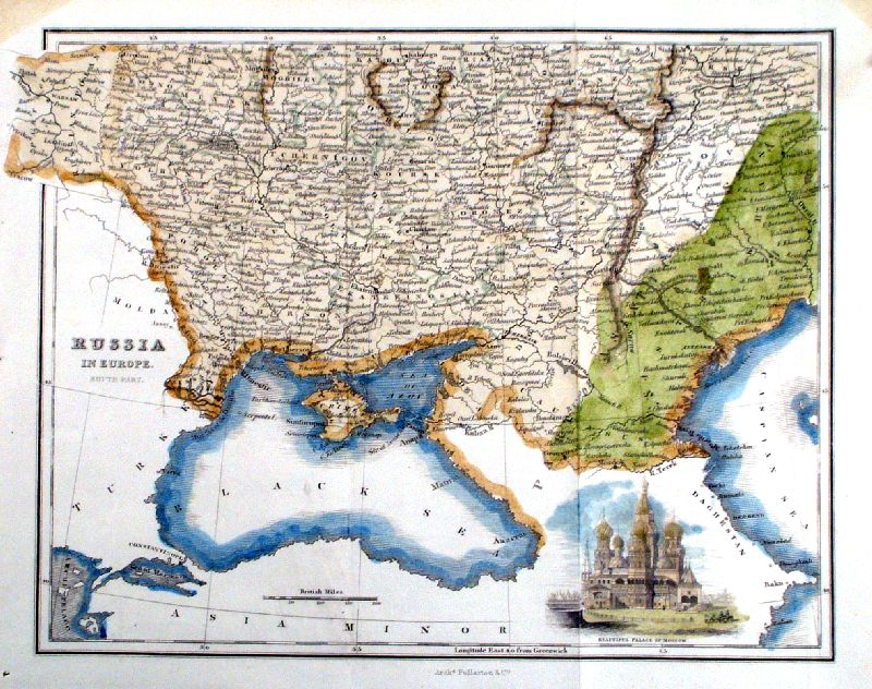 |
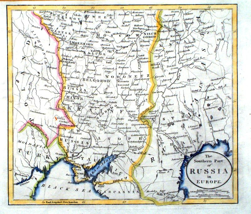
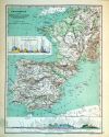
Russia in Europe - South Part -
Fullarton c1850 size 260 x 210 mm, 2 folds, small repairs at margins Asiatic Russia shown in Green vignette - Beautiful Palace of Moscow Ref IEM016 £24.00 (+P&P) click image for enlargement |
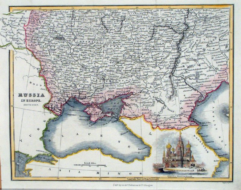 |
Russia in Europe - South Part -
Fullarton c1850 size 260 x 210 mm, 2 folds vignette - Beautiful Palace of Moscow Ref LCM001 £24.00 (+P&P) click image for enlargement |
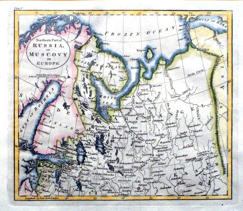 |
Northern Part of Russia or Muscovy in Europe anon c1800 size: 220 x 200 mm 2 folds Ref IDM005 £20.00 (+P&P) click image for enlargement |
 |
Southern Part of Russia or Muscovy in Europe anon c1800 size: 220 x 200 mm 2 folds Ref IDM006 £20.00 (+P&P) click image for enlargement |
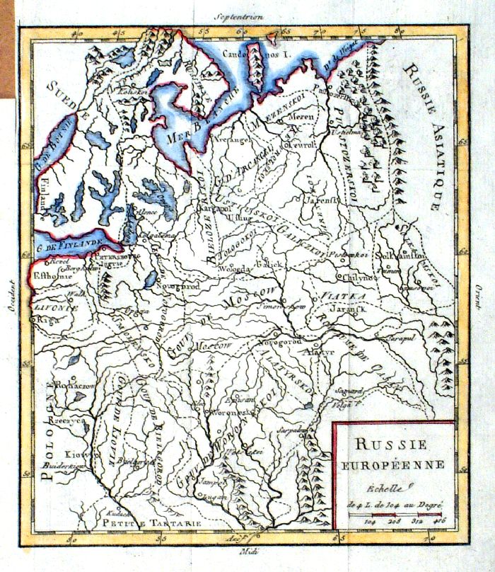 |
Russie
Europeenne
Vaugondy c1784 size 160 x 185 mm, tight top-left margin Ref IDM003 £24.00 (+P&P) click image for enlargement |
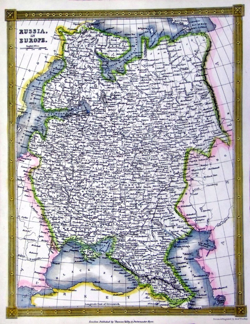 |
Russia in Europe
Thomas Kelly
1841 engraved by Alex Findlay size: 200x 260 mm Ref OHM011 £20.00 (+P&P) click image for enlargement |
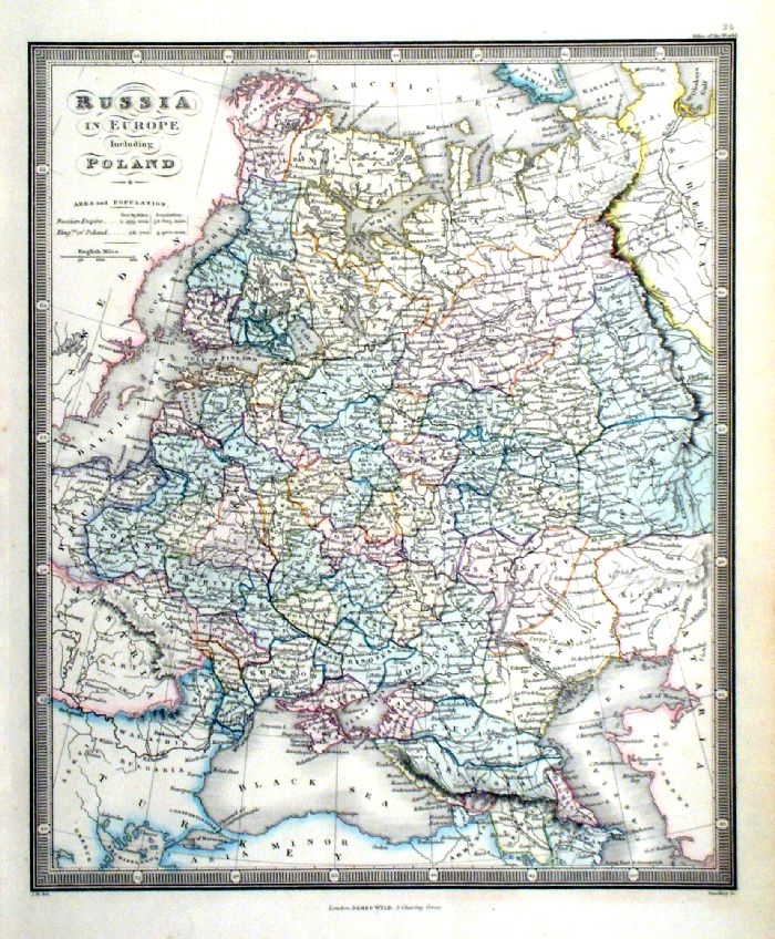 |
Russia in Europe including Poland
Wyld / Stockley c1840 size 240 x 290 mm Ref IDM002 £20.00 (+P&P) click image for enlargement |
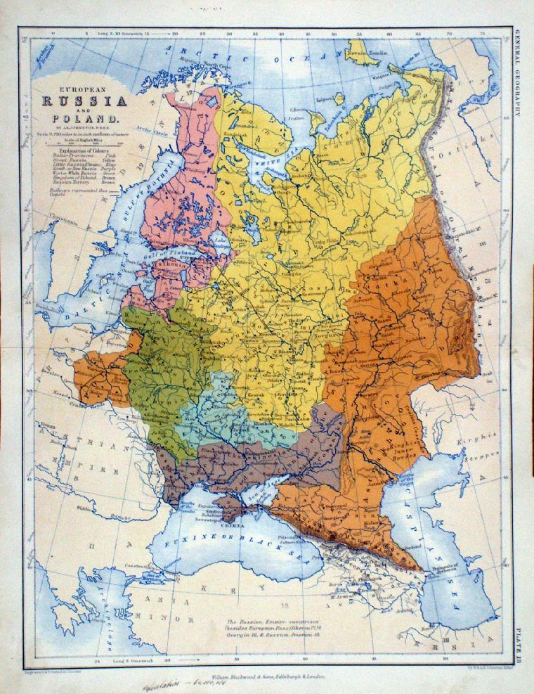 |
European Russia and
Poland A.K. Johnston / William Blackwood 1854 size: 250 x 320 mm, centre fold. Early full colour lithographic printing. Fine ink notes on lower margin. Ref LKM015 £18.00 (+P&P) click image for enlargement |
 |
Russia in Europe
anon c1800 size 210 x 160 mm Ref IBM007 £20.00 (+P&P) click image for enlargement |
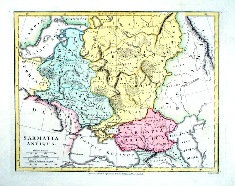 |
Sarmatia Antiqua
Roper
/ Wilkinson 1801 Copper engraving size 300 x 240 mm Ref IEM002 £26.00 (+P&P) click image for enlargement |
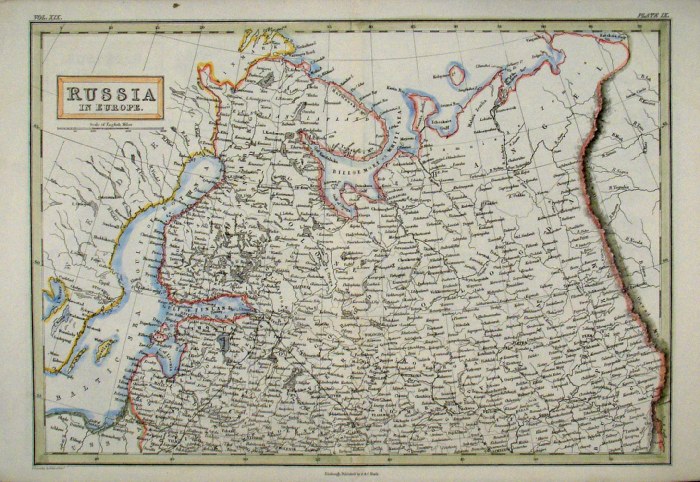 |
Russia in Europe (North)
Sidney Hall
c1854
size 400 x 270 mm Ref EKM124 % £18.00 (+P&P) click image for enlargement |
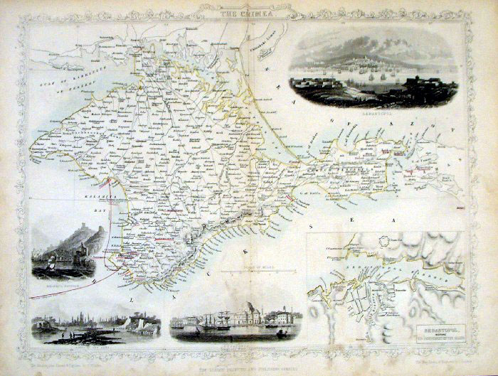 |
The Crimea Tallis
c1850 Steel Engraving, original
colour. size: 340 x 270 mm Centre fold, very slightly soiled surface. Ref FGM030 £20.00 (+P&P) click image for enlargement |
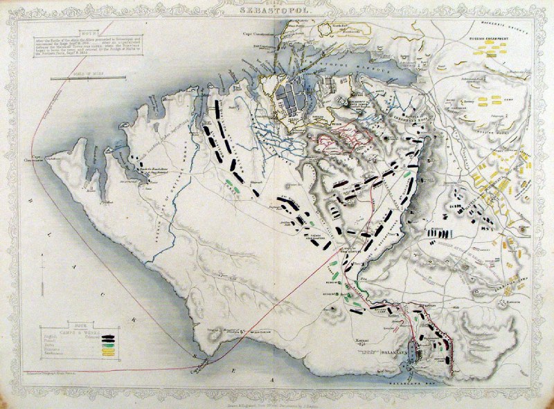 |
Sebastopol Tallis
c1850 Steel Engraving, original
colour. size: 340 x 270mm Centre fold Ref HLM029 £20.00 (+P&P) click image for enlargement |
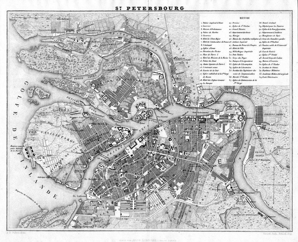 |
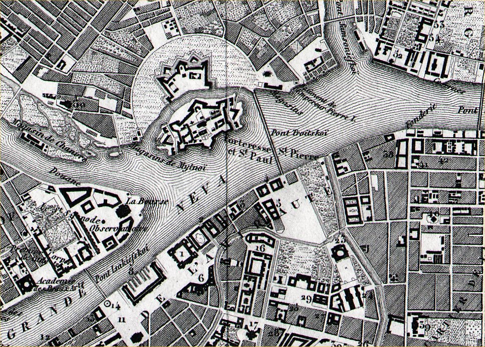
St Petersbourg
from Abrege de
Geographie by Adrien Balbie,
Paris 1838 Publie Par Jules Renouard. A.H. Dufour. Gavard Scuplt, Banard Scrip. Table of 54 locations. Steel engraving size: 270 x 200 mm centre fold. Ref PHM020 £30.00 (+P&P) Detail click image for enlargement |
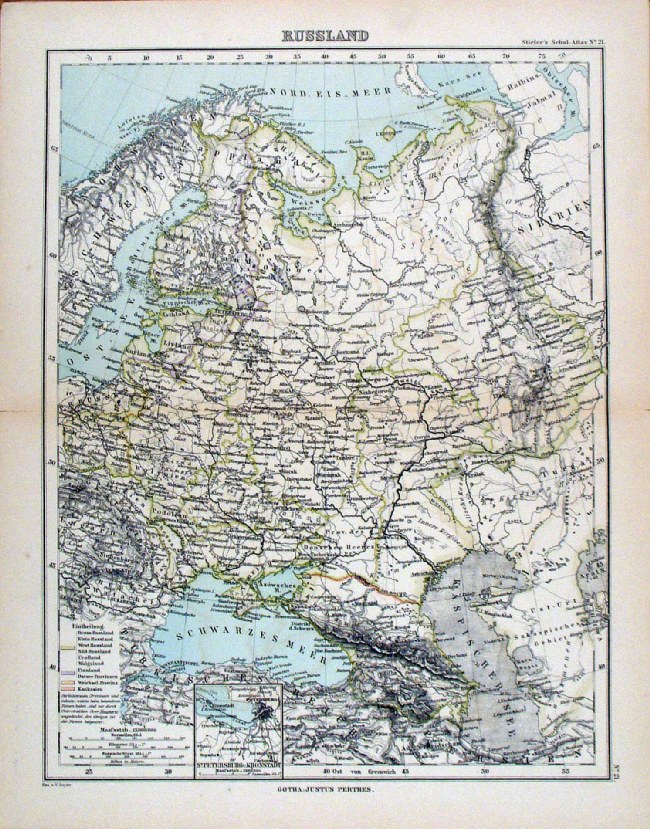 |
Russland Steiler /
Perthes 1895 size: 300 x 240 mm, centre fold. inset of St Petesburg Ref HHM084 £16.00 (+P&P) click image for enlargement |
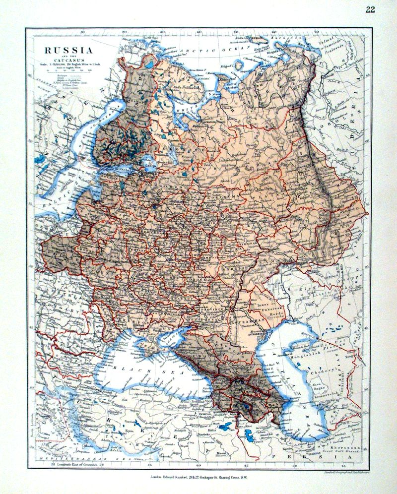 |
Russia and the Caucasus Stanford c1880 size: 270 x 350 mm Ref IBM018 £20.00 (+P&P) click image for enlargement |
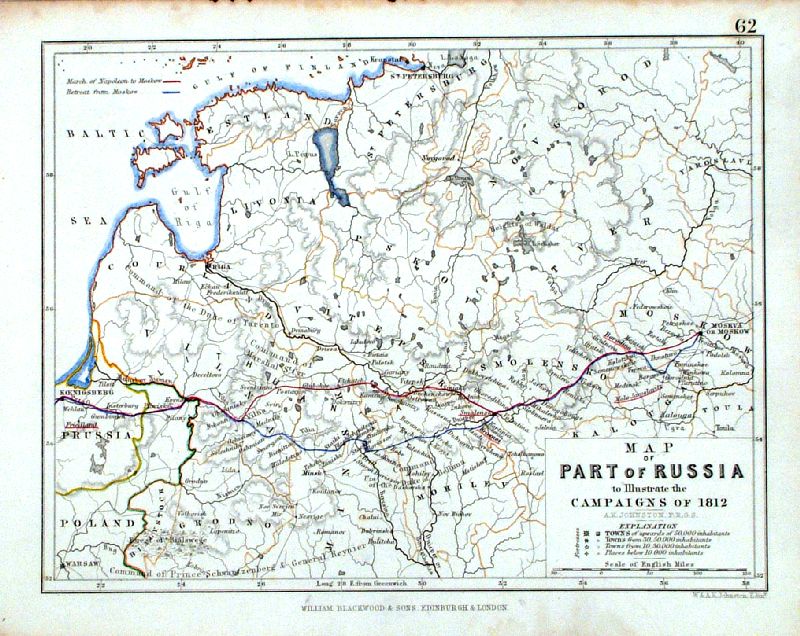 |
Map of Part of Russia ... Campaign of 1812 Johnston / Blackwood c1880 size: 220 x 170mm Ref IBM010 £16.00 (+P&P) click image for enlargement |
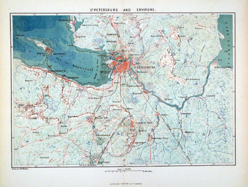 |
St Petersburg and Environs Vuillemin / Virtue c1880 size: 310 x 230 mm, centre fold Ref HFM012 £18.00 (+P&P) Ref HFM013 £18.00 (+P&P) click image for enlargement |
 |
Phasani (Fasani) Crimea South West of Sevastopol engraved J. Skelton 1809 size: 200 x 200mm Ref IIM020 £20.00 (+P&P) click image for enlargement |
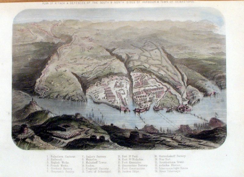 |
Sebastopol Defenses of Harbour and Town Upton c1855 size: 240 x 150mm Ref JBM019 £20.00 (+P&P) click image for enlargement |
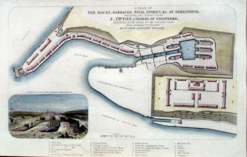 |
Sebastopol Docks, Barracks, Naval Stores
... Upton c1855 size: 240 x 150mm Ref JBM016 £20.00 (+P&P) click image for enlargement |
Serbia See Greece. Many of the countries around the Adriatic were previously mapped with Greece and Turkey |
|
Scandanavia (Sweden, Norway & Finland) |
|
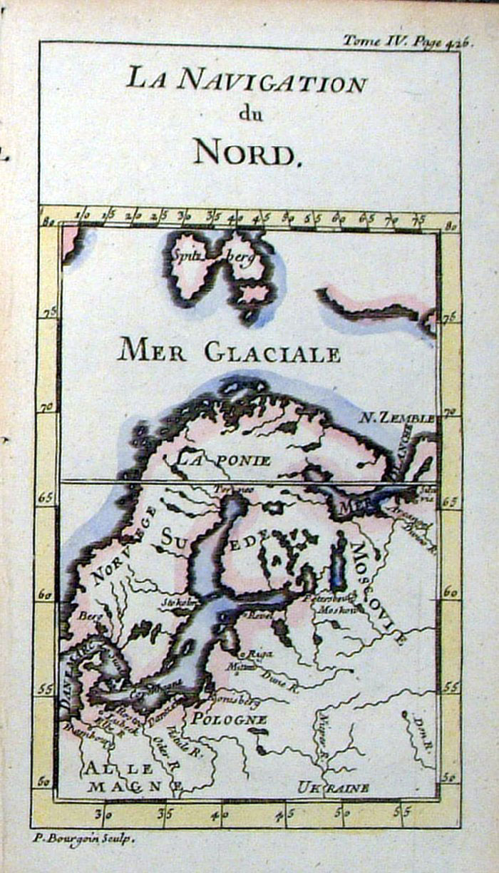 |
The Navigation of the North
Bourgoin c1760
size 80 x 140 mm French text Ref FLM078 £25.00 (+P&P) Ref JKM031 £25.00 (+P&P) click image for enlargement |
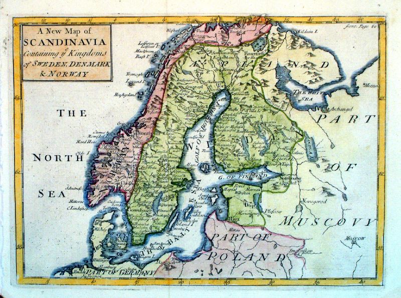 |
A New Map of
Scandanavia containing ye Kindoms of Sweden, Denmark and
Norway John Sennex 1730 From Gordon's Geography - view Title Page size: 230 x 170 mm, 2 folds Antique Map Ref LFM003 £60.00 (+P&P) click image for enlargement |
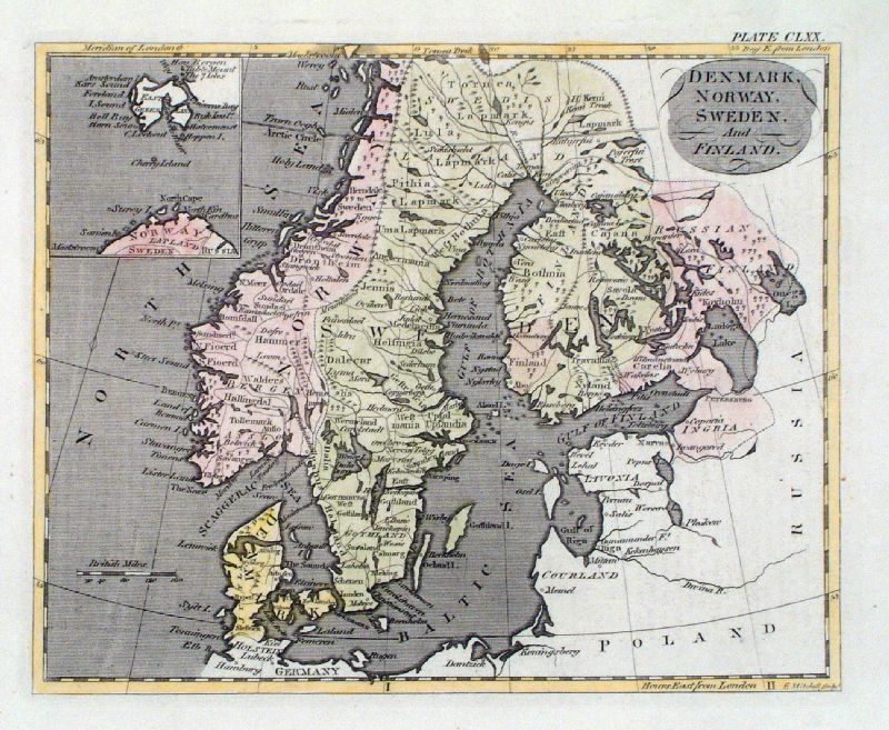 |
Denmark, Norway, Sweden & Finland
Mitchell
size 230 x 190 mm Ref JKM70 £26.00 (+P&P) click image for enlargement |
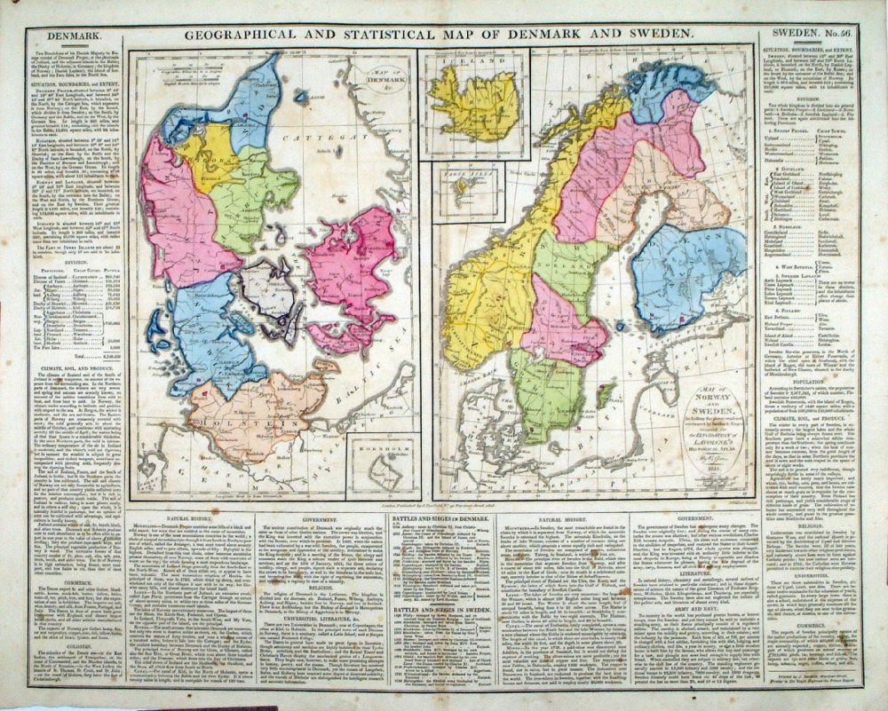 |
Geographical and
Statistical Map of Denmark and Sweden Map engraved by J. Walker. Set with statistical data. From Lavoisne's Genealogical, Historical, Chronological and Geographical Atlas 1827 - Title Page For Statistics Tables and Charts from this atlas see Charts and Tables Page Copper engraving page size: 530 x 420 mm, centre fold. Ref LHM061 £50.00 (+P&P) Detail click image for enlargement |
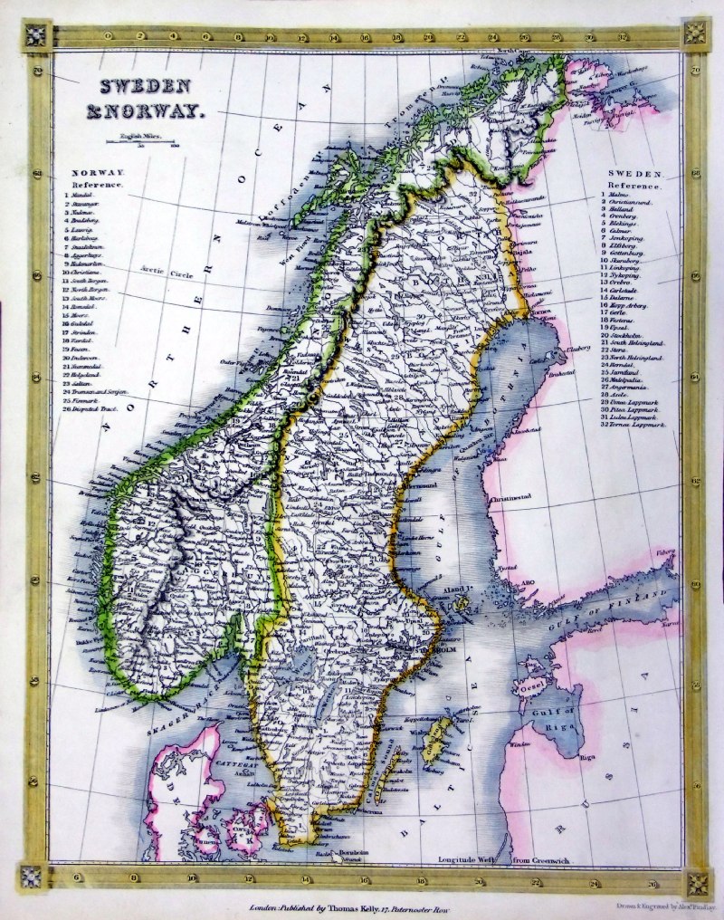 |
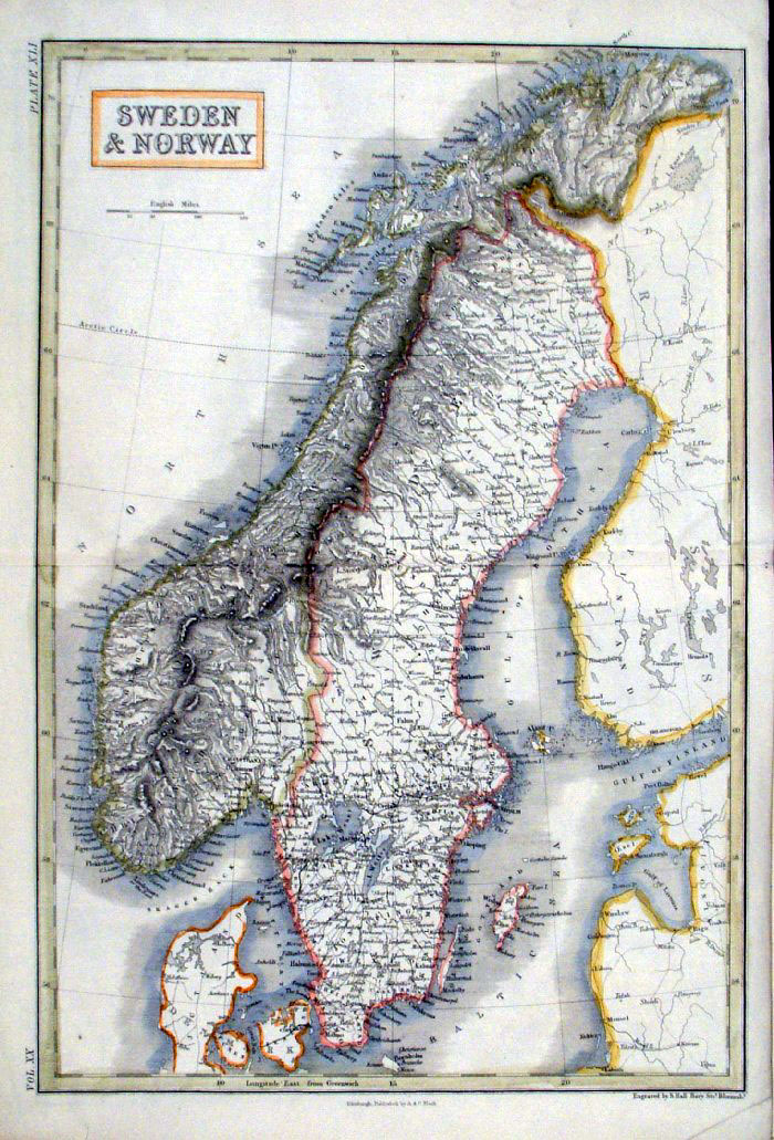
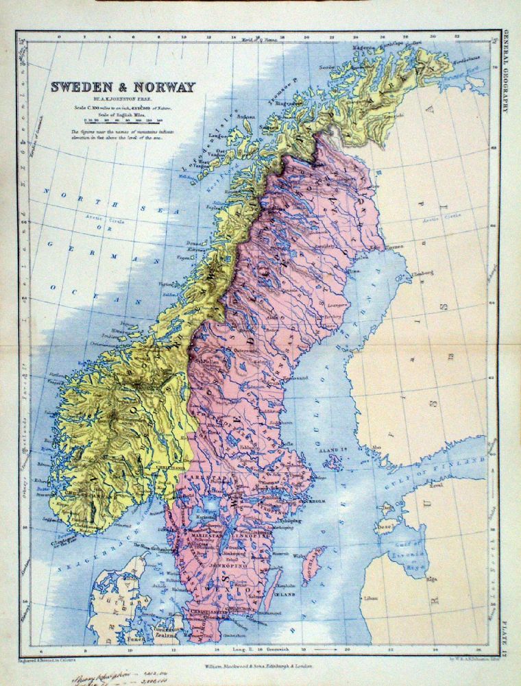
Sweden & Norway
Thomas Kelly 1841
engraved by Alex Findlay size: 200x 260 mm Ref OHM012 £26.00 (+P&P) click image for enlargement |
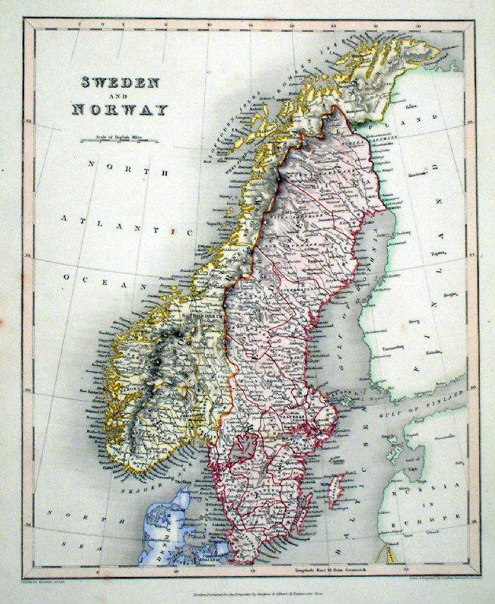 |
Sweden and Norway Grattan & Gilbert / Archer Steel engraving size: 260 x 320 mm Ref KAM002 £32.00 (+P&P) click image for enlargement |
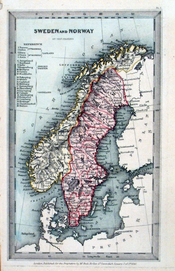 |
Sweden and Norway Thomas
Starling 1830 size: 95 x 150mm Ref KFM024 £22.00 (+P&P) click image for enlargement |
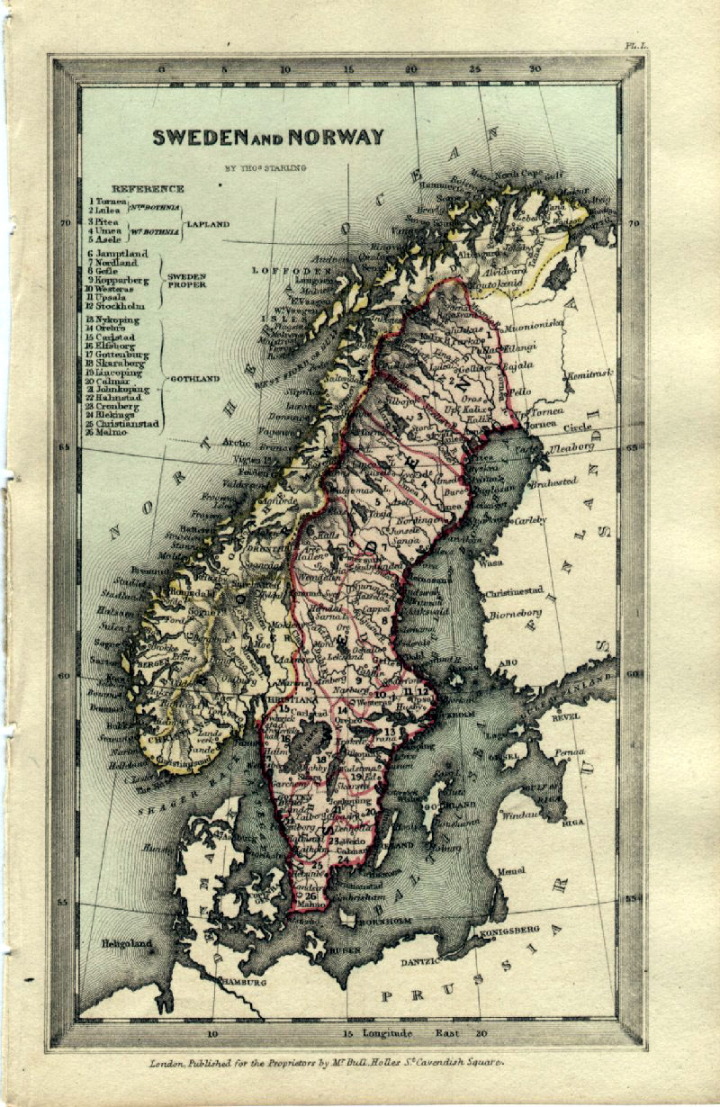 |
Sweden and Norway Thomas
Starling 1843 size: 95 x 150mm Ref GBM307 £22.00 (+P&P) click image for enlargement |
 |
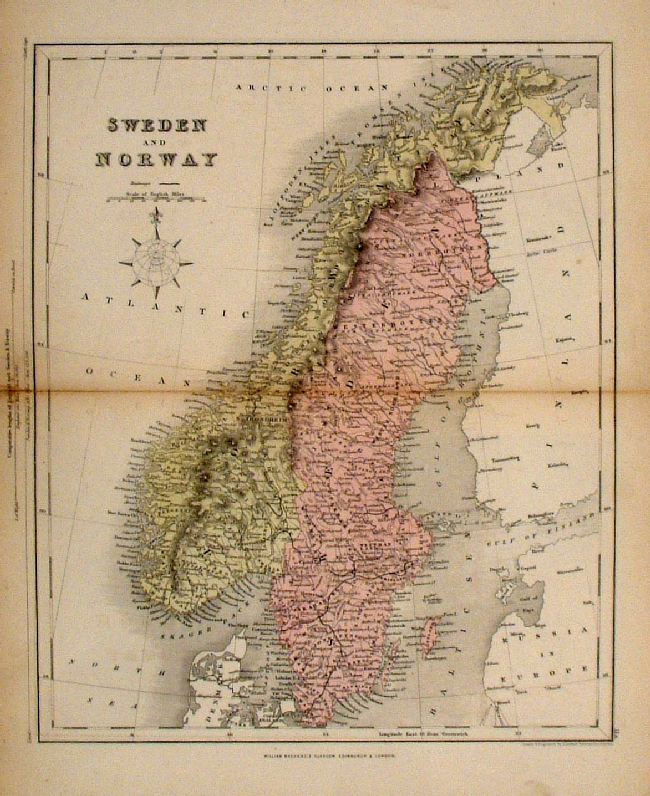
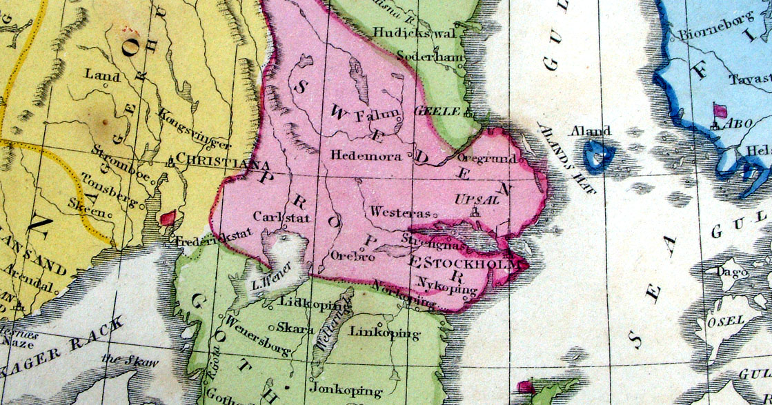
Sweden & Norway Sidney
Hall
c1854
size 270 x 400 mm Ref EKM150 % £20.00 (+P&P) click image for enlargement |
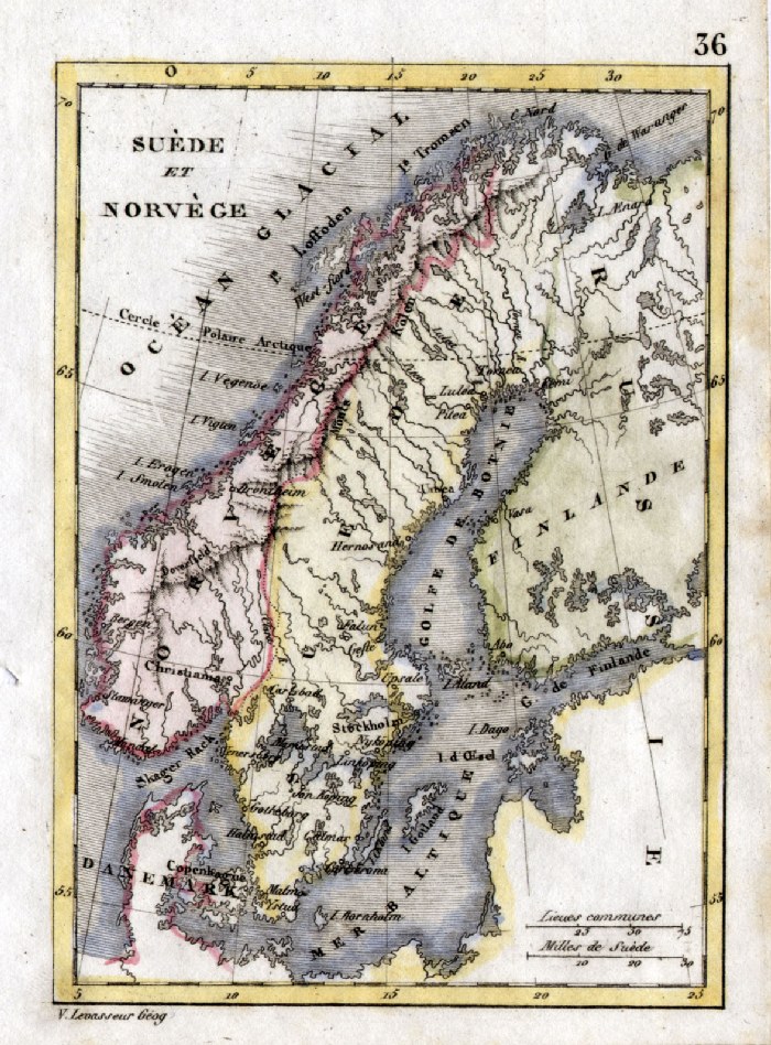 |
Sweden and Norway V. Levasseur
c1835 size: 130 x 100 mm Ref HAM068 £16.00 (+P&P) click image for enlargement |
 |
Sweden & Norway A.K. Johnston / William Blackwood 1854 size: 250 x 320 mm, centre fold. Early full colour lithographic printing. Fine ink notes at lower margin. Ref LKM014 £18.00 (+P&P) click image for enlargement |
 |
Sweden and Norway
Mackenzie 1868 Ref FBM025 % £10.00 (+P&P) size: 260 x 340 mm Strengthened centrefold. Discolouration on centrefold (not as severe as illustrated!) click image for enlargement |
 |
Sweden, Norway and Denmark
Findlay / Tegg 1845
size 240 x 300 mm Ref ELM074 £20.00 (+P&P) click image for enlargement |
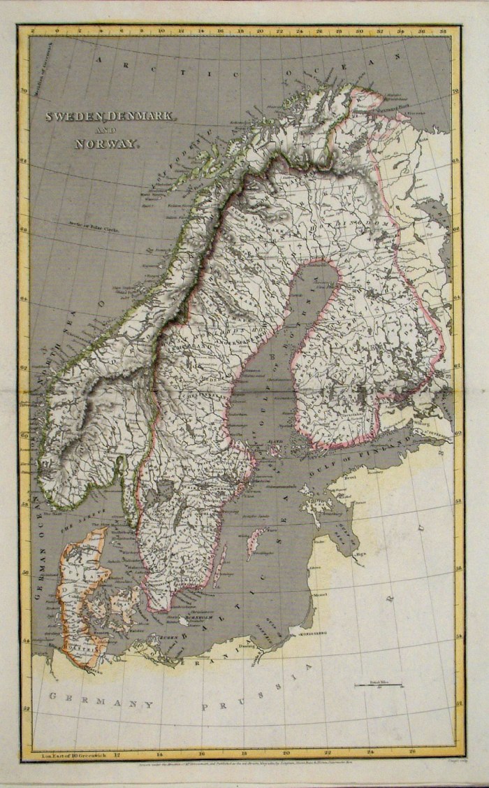 |
Sweden, Denmark & Norway Cooper
/ Arrowsmith 1810
size: 260 x 410mm Centre Fold Ref FIM068 % £20.00 (+P&P) click image for enlargement |
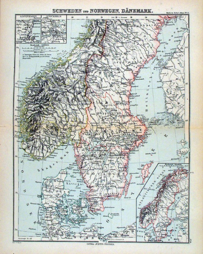 |
Schweden und Norwegen, Danemark
Steiler / Perthes 1895 size: 300 x 240 mm, centre fold. insets of Stockholm and Copenhagen Ref HHM074 £16.00 (+P&P) click image for enlargement |
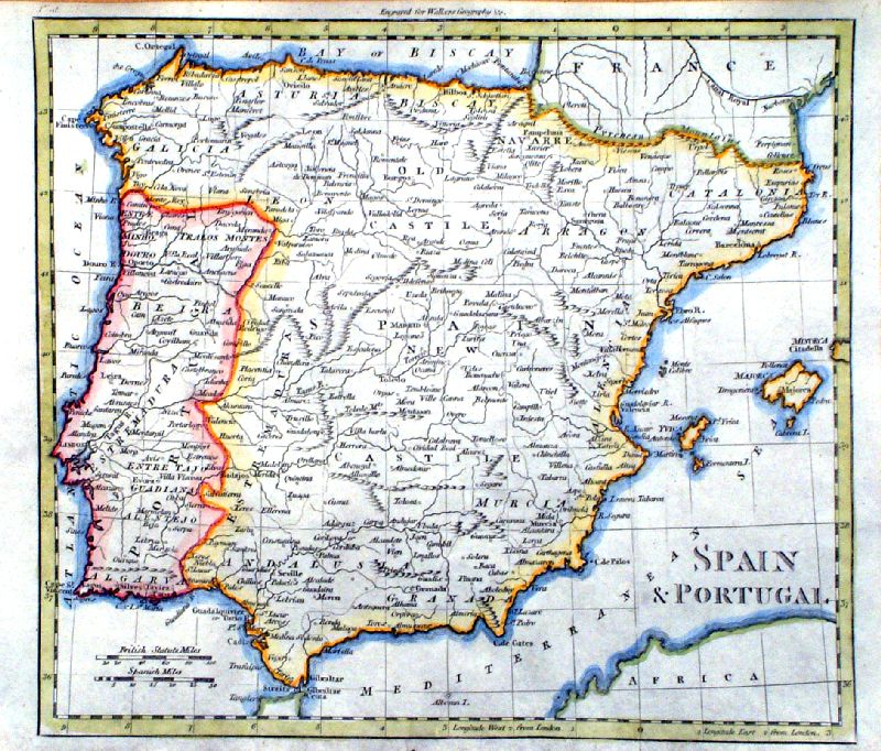
Spain (& Portugal) Iberia |
|
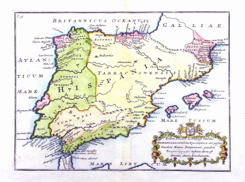 |
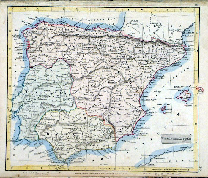
Ancient Spain
Hispania & in ea Insulae ... from De Situ Orbis by Pomponius Mela. Published by Philippum Bishop, Exeter, 1711 Copper engraving size 270 x 200 mm, centre fold Ref PDM017 £55.00 (+P&P) click image for enlargement |
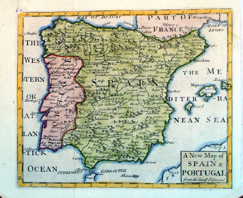 |
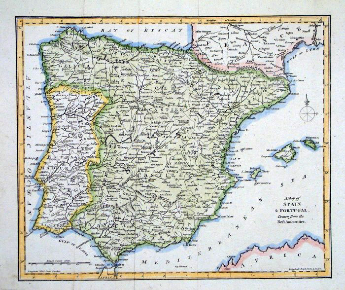
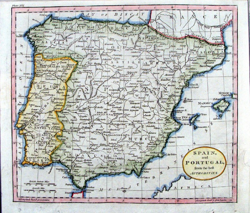
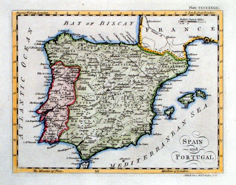
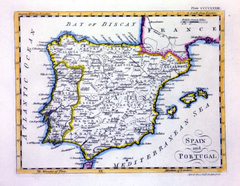
A New Map of Spain
& Portugal from the Latest Observations John Sennex 1730 From Gordon's Geography - view Title Page size: 210 x 180 mm, 2 folds Antique Map Ref LFM008 £60.00 (+P&P) click image for enlargement |
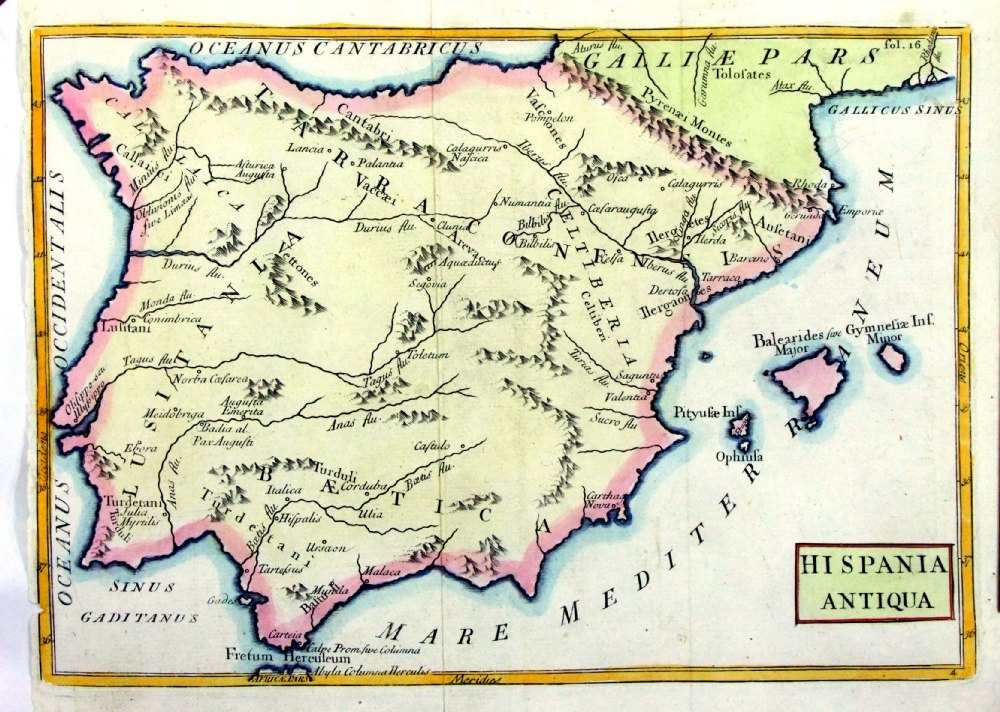 |
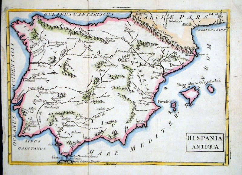
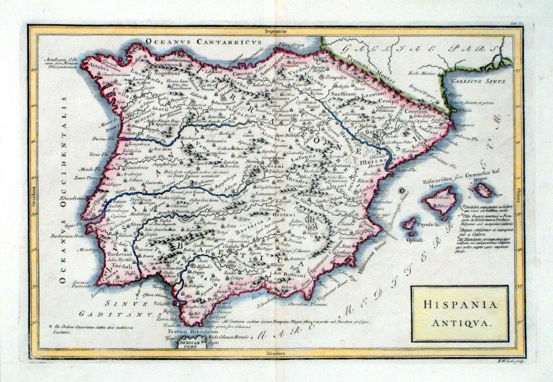
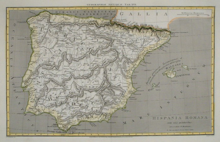
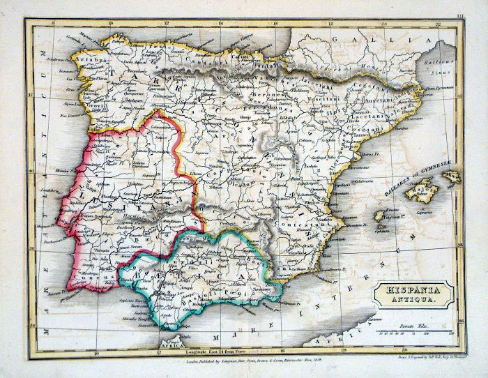
Hispania
Antiqua Geograhia Antiqa Christophi Cellarii Christoph Cellarius 1745 Copper engraving size: 220 x 180 mm, 2 folds, tight left margin. Ref OKM004 £40.00 (+P&P) click image for enlargement |
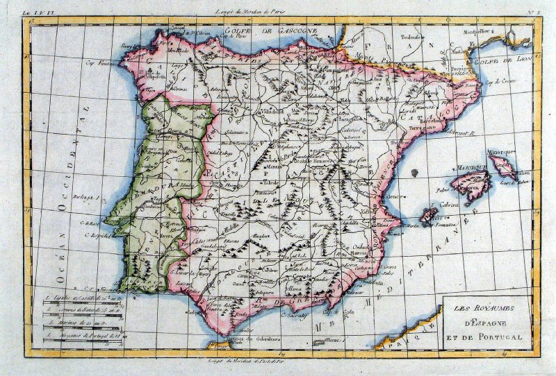 |
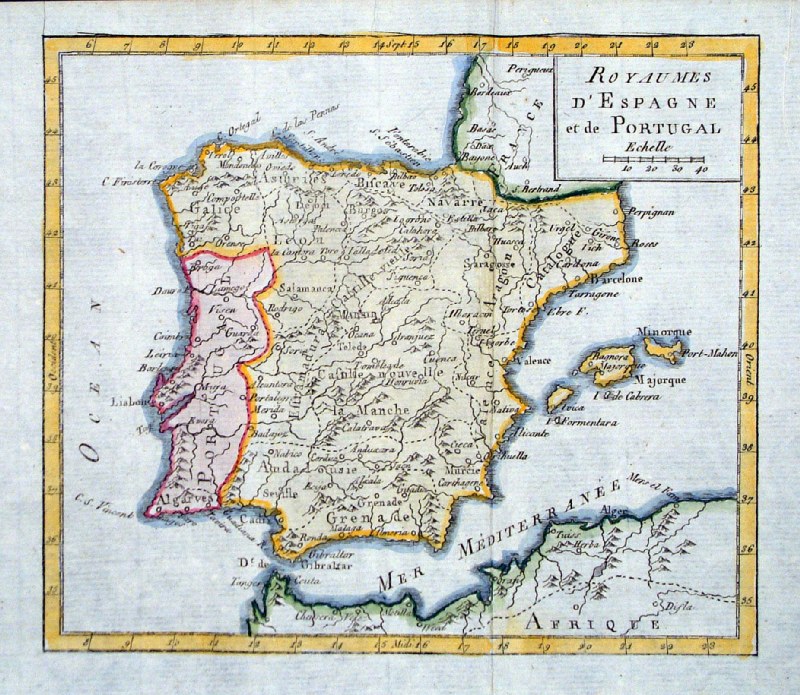
Spain and
Portugal
Bonne c1783 'Les Royaumes D' Espagne et de Portugal' size: 340 x 230 mm several folds Ref HBS098 £55.00 (+P&P) click image for enlargement |
 |
Ancient Spain & Portugal
anon c1700
size 240 x 170 mm, 2 folds Ref GFM095 £26.00 (+P&P) click image for enlargement |
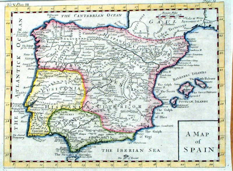 |
A Map of Spain (Ancient Spain under Roman
rule) Clarke 1777 size: 290 x 220 mm several folds Ref JGM110 £35.00 (+P&P) click image for enlargement |
 |
Roman Spain & Portugal
Richard Seale c1750
size 300 x 220 mm, several folds, strengthened lower-right margin Ref HKM010 £48.00 (+P&P) click image for enlargement |
 |
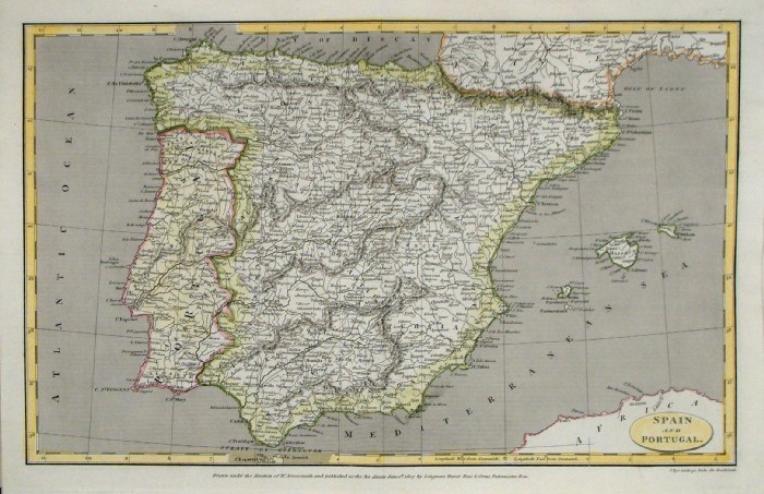
Spain and Portugal
Vaugondy c1750
Royaumes d'Espagne et de Portugal size 190 x 160 mm, 2 folds Ref HAM017 £35.00 (+P&P) click image for enlargement |
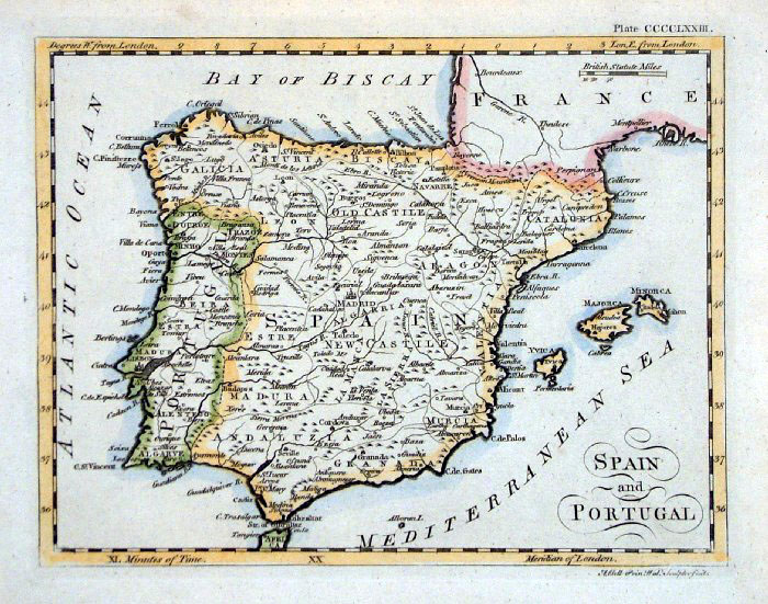 |
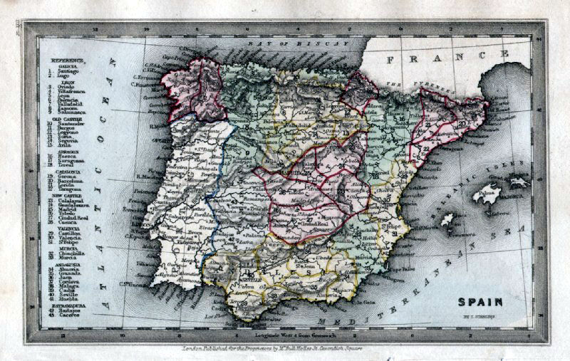
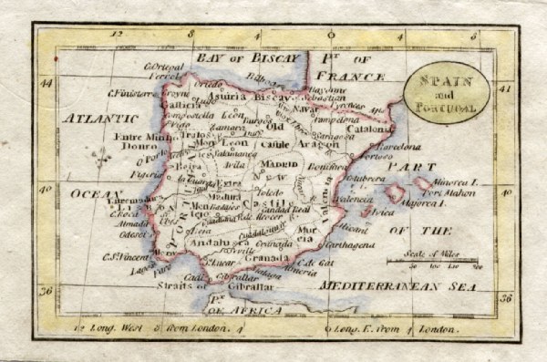
Spain & Portugal Andrew
Bell c1790 Copper Engraving size: 230 x 180 mm Ref FHM030 £26.00 (+P&P) Ref JEM013 £26.00 (+P&P) Ref NLM009 £26.00 (+P&P) click image for enlargement |
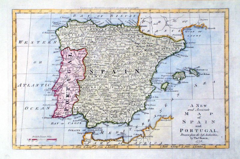 |
A New and Accurate map of Spain and Portugal
Thomas Bowen Middleton's Complete Geography 1778 Copper engraving size 310 x 210 mm Ref KIM006 £35.00 (+P&P) click image for enlargement |
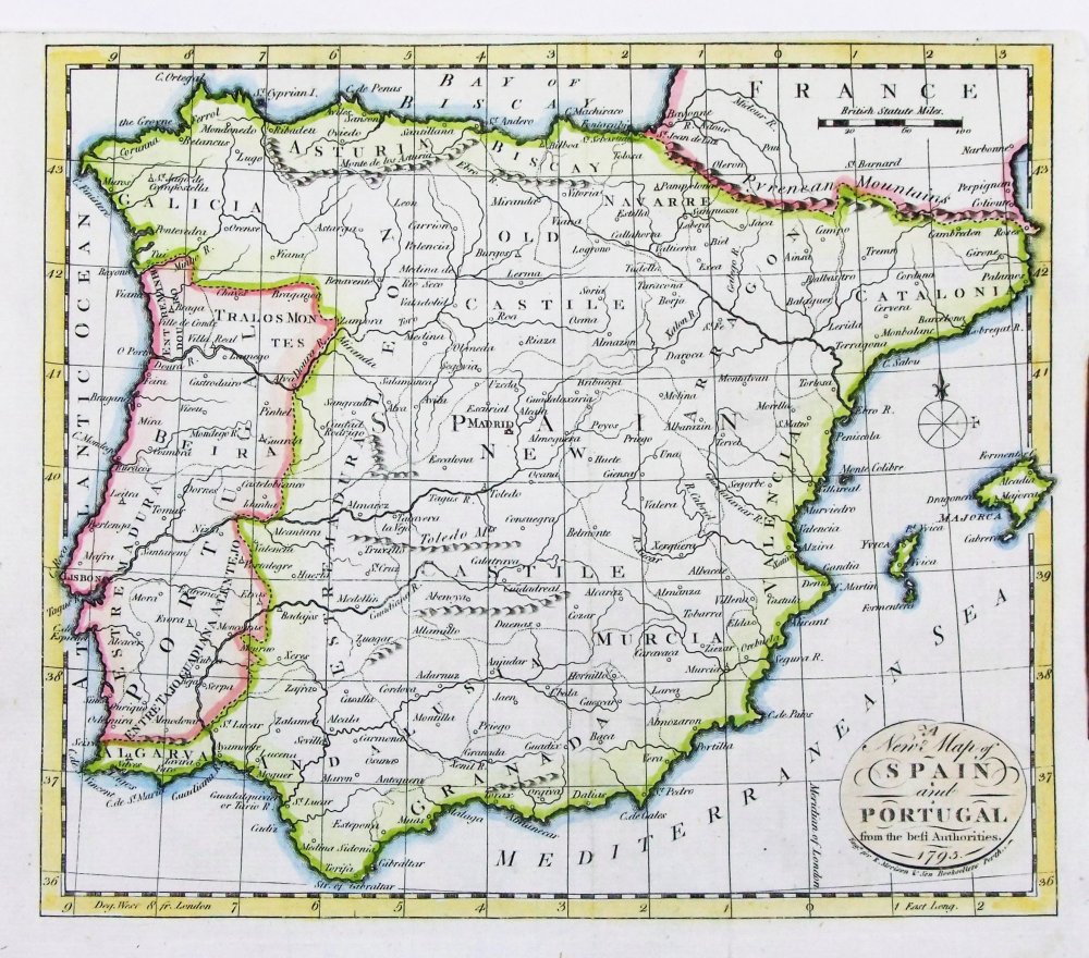 |
A New map of Spain
and Portugal Morison's Geography 1795 Copper engraving size 230 x 200 mm, tight top margin. Ref PEM009 £35.00 (+P&P) click image for enlargement |
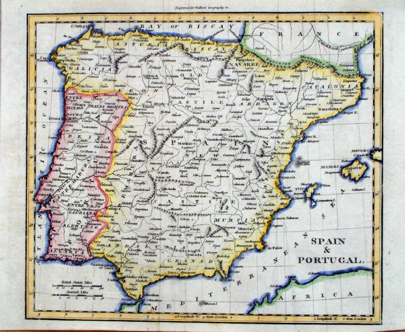 |
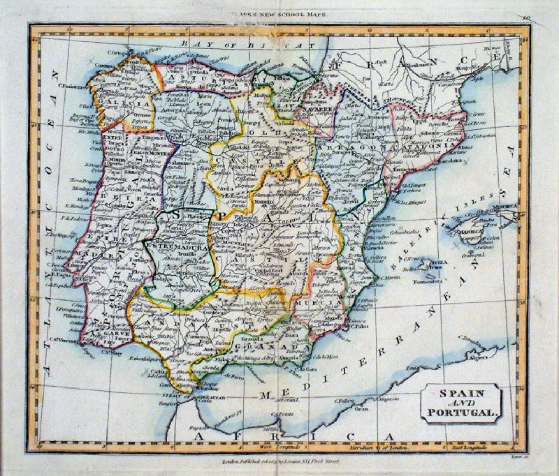
Spain and Portugal Walker c1798
size 240 x 190 mm, 2 folds Ref IIM007 £28.00 (+P&P) click image for enlargement |
 |
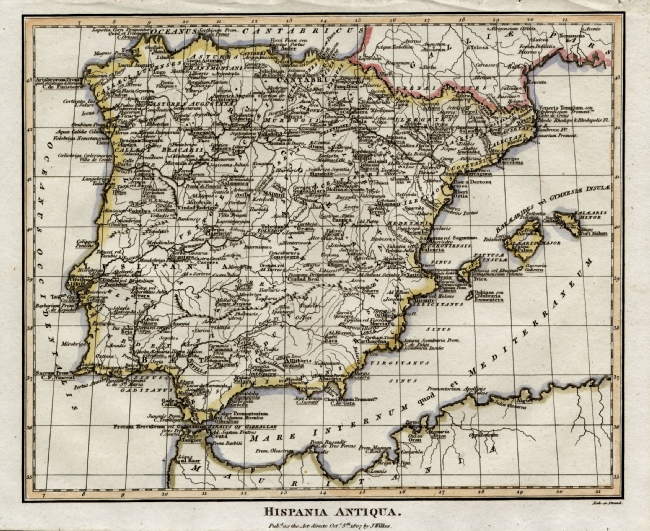
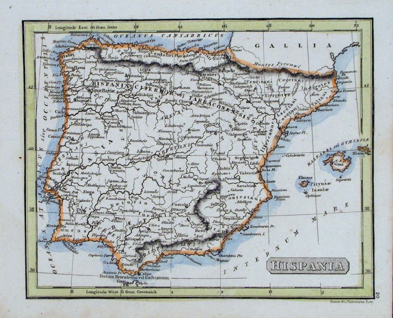
Hispania Antiqua Richard Seale Raw/Rivington 1796 Copper engraving size: 330 x 220 mm, centre fold Ref JKM076 £35.00 (+P&P) click image for enlargement |
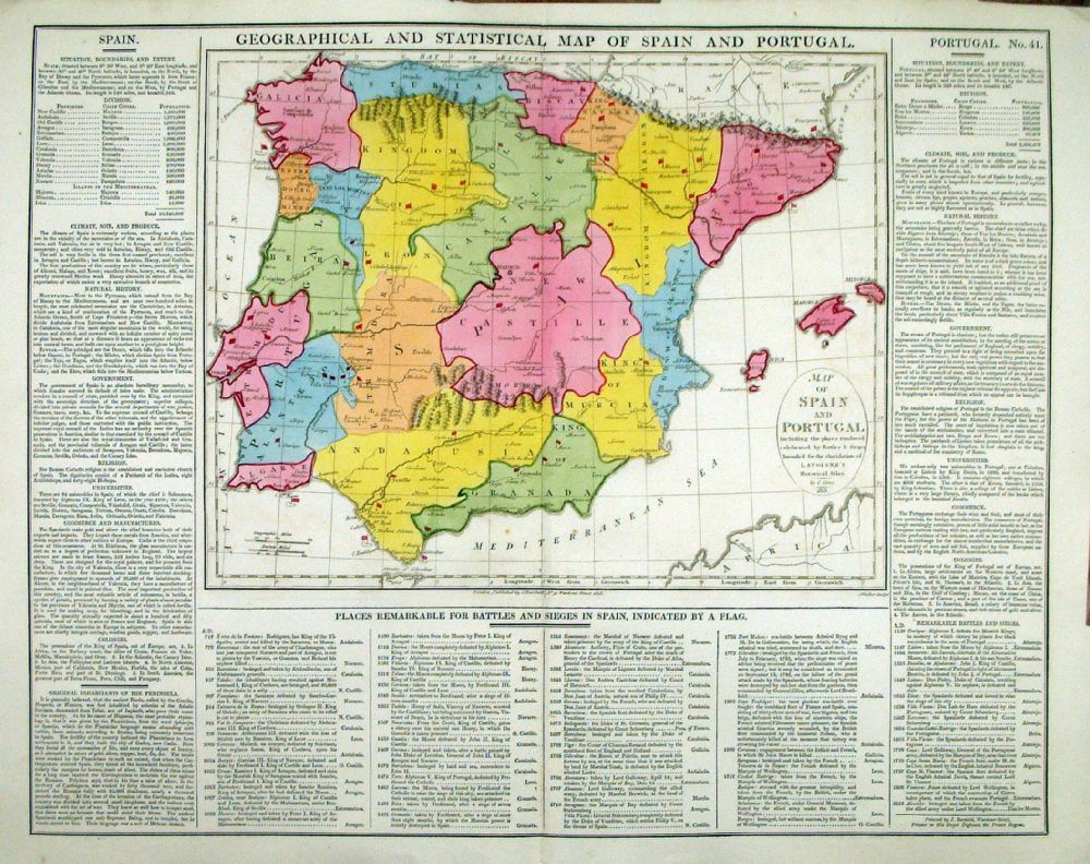 |
Geographical and
Statistical Map of spain and Portugal Map engraved by J. Walker. Set with statistical data. From Lavoisne's Genealogical, Historical, Chronological and Geographical Atlas 1827 - Title Page For Statistics Tables and Charts from this atlas see Charts and Tables Page Copper engraving page size: 530 x 420 mm, centre fold. Ref LHM045 £50.00 (+P&P) Detail click image for enlargement |
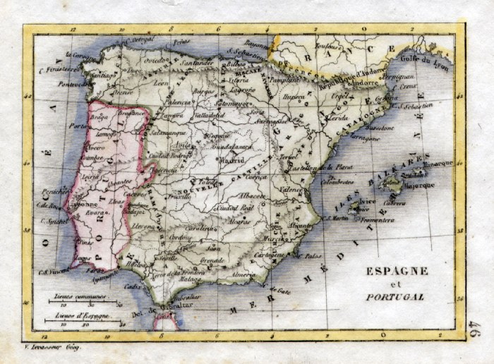 |
Spain and Portugal V.
Levasseur c1835 size: 130 x 100 mm Ref HAM078 £18.00 (+P&P) click image for enlargement |
 |
Spain Starling
1832 map size: 160 x 100 mm Ref FLM024 £22.00 (+P&P) click image for enlargement |
 |
Spain Thomas
Starling 1843 size: 150 x 95 mm Ref GBM292 £20.00 (+P&P) click image for enlargement |
 |
Ancient Spain (Hispania Romana)
Russell / Arrowsmith 1806
size: 410x 260 mm Centre Fold Ref FIM114 % £18.00 (+P&P) click image for enlargement |
 |
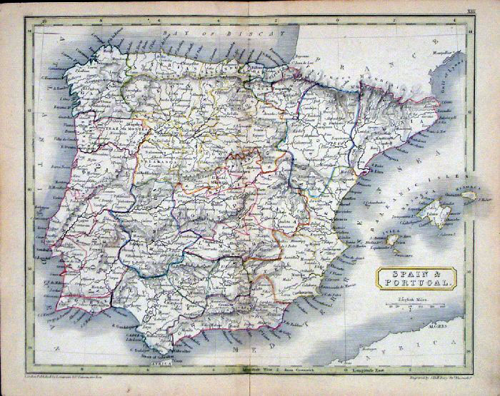
Spain & Portugal Bye /
Arrowsmith 1807
size: 410x 260 mm Centre Fold Ref FIM085 % £18.00 (+P&P) click image for enlargement |
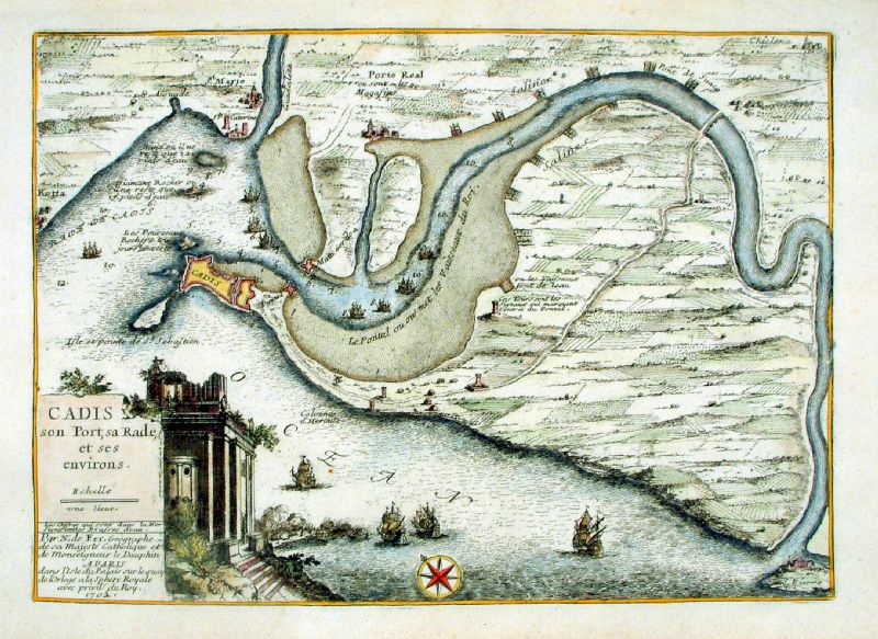 |
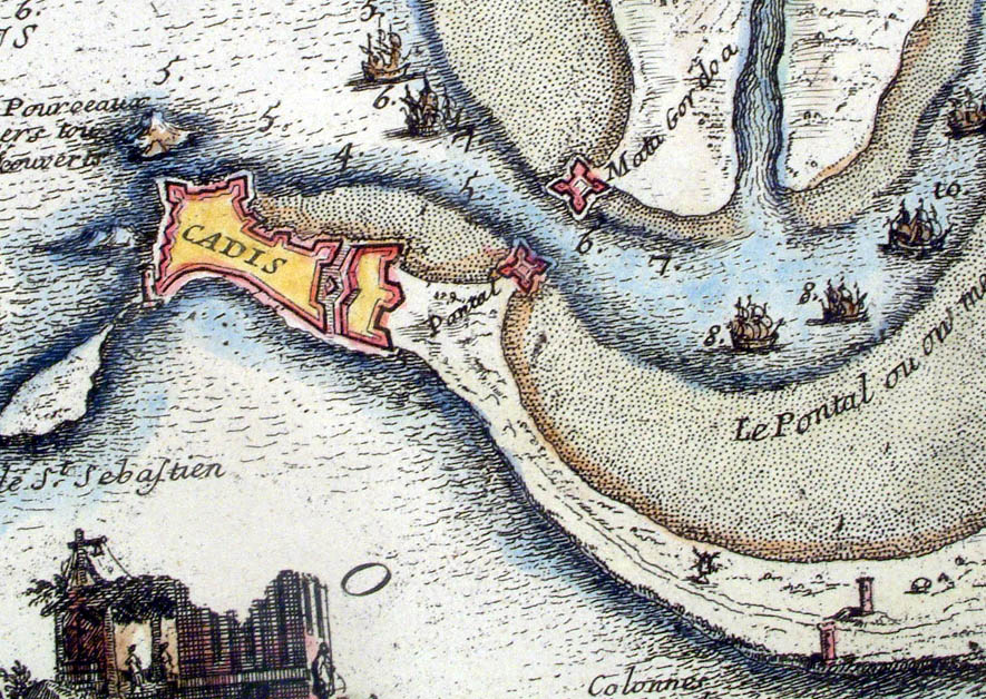
Cadiz
Cadis son Port, sa Rade et ses environs N. De Fer 1705 Copper engraving size: 360x 270 mm Ref KFM008 £120.00 (+P&P) Detail click image for enlargement |
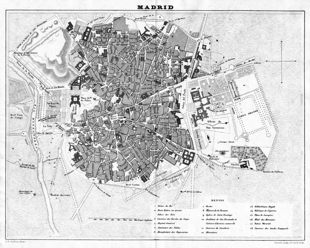 |
Madrid
from Abrege de
Geographie by Adrien Balbie,
Paris 1838 Publie Par Jules Renouard. A.H. Dufour. Gavard Scuplt, Banard Scrip. Table of 18 locations. Steel engraving size: 270 x 200 mm centre fold. Ref PHM018 £35.00 (+P&P) Detail click image for enlargement |
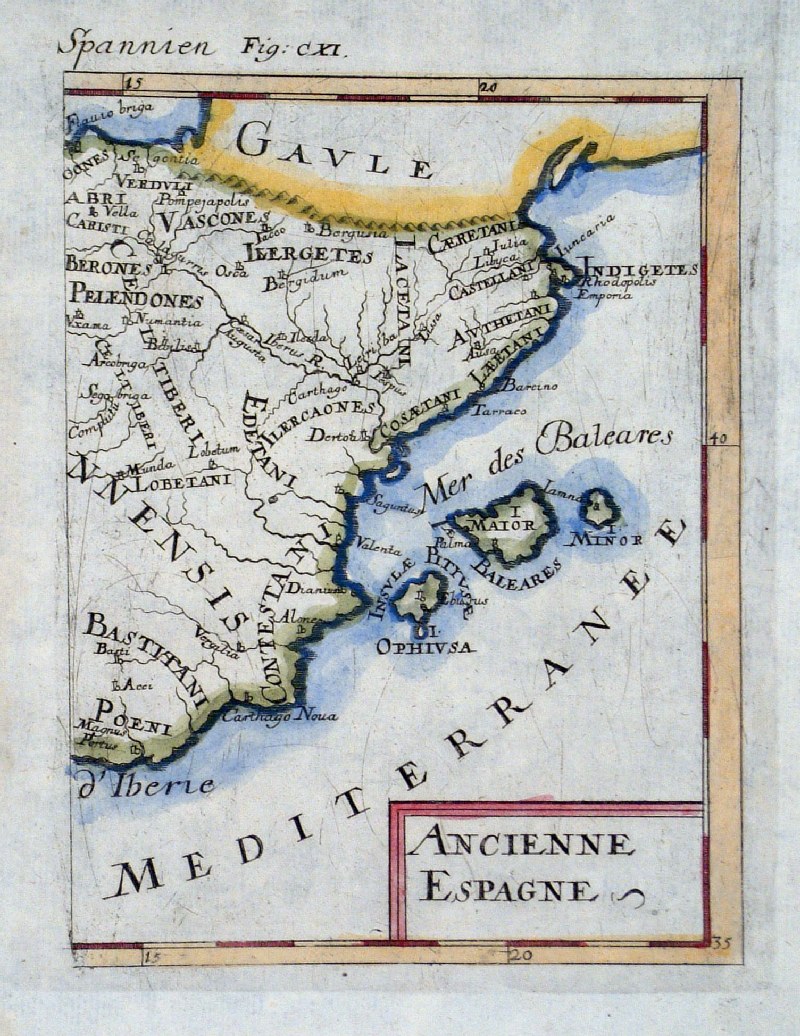 |
Ancient Spain (East)
Alain Mallet c1685
Ancienne Espagne size 120 x 180 mm Ref GHM024 £24.00 (+P&P) click image for enlargement |
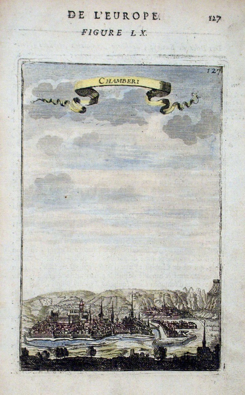 |
Chamberi (Madrid area)
Alain
Mallet
c1685 Chamberi size 120 x 180 mm Ref GHM016 £18.00 (+P&P) click image for enlargement |
 |
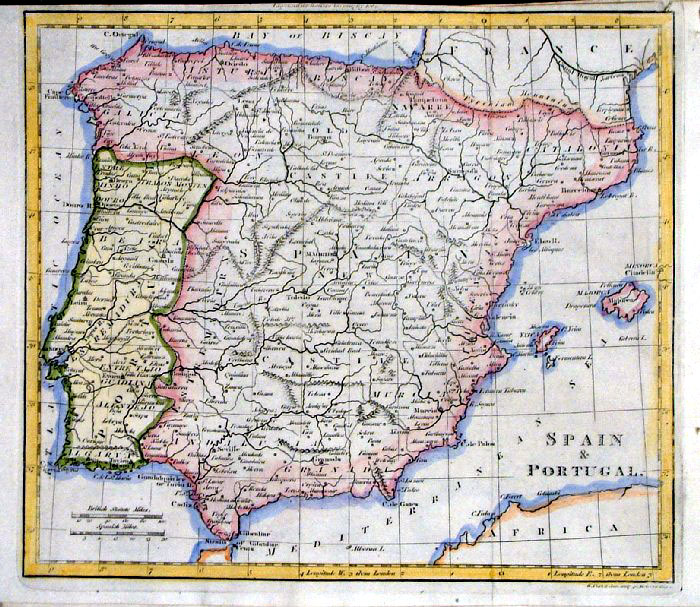
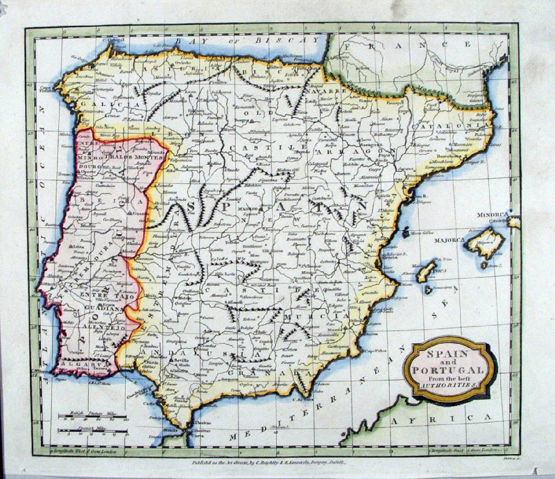
Spain & Portugal
Walker c1795 Copper Engraving size: 240 x 200 mm 1 fold, afew minor creases Ref IDM010 £18.00 (+P&P) click image for enlargement |
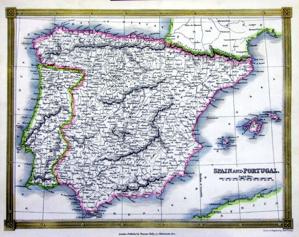 |
Spain & Portugal
Thomas Kelly
1841 engraved by Alex Findlay size: 200x 260 mm Ref OHM010 £18.00 (+P&P) click image for enlargement |
 |
Spain & Portugal
Alexander Cooke 1807 Copper Engraving size: 270 x 230 mm several folds Ref FHM058 £18.00 (+P&P) click image for enlargement |
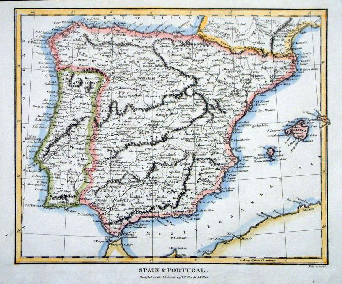 |
Spain & Portugal
Wilkes 1809 Copper Engraving size: 240 x 200 mm Ref FHM029 £20.00 (+P&P) click image for enlargement |
 |
Ancient Spain Wilkes
1807 size 250
x 210 mm Ref ELM010 £18.00 (+P&P) click image for enlargement |
 |
Spain &
Portugal
Thiers
1859 Ref FFM025 £22.00 (+P&P) size: 460 x 420 mm click image for enlargement |
 |
Bailen (Baylen) Region
Thiers 1859 Ref FFM070 £22.00 (+P&P) size: 330 x 230 mm click image for enlargement |
 |
Spain and Portugal Cooper /
Macpherson 1809
size: 200 x
250mm Ref GCM028 % £18.00 (+P&P) click image for enlargement |
 |
Spain and Portugal
Walker/Darton c1796
size 230 x
190 mm Small repair to top-right corner Ref FKM005 £18.00 (+P&P) click image for enlargement |
 |
Spain & Portugal
Barlow / Brightly 1806 Original colour size: 220 x 200 mm Slighly soiled surface condition, tight lower margin Ref FIM060 % £18.00 (+P&P) click image for enlargement |
 |
Spain & Portugal
Barlow / Brightly 1806 Copper engraving size: 220 x 200 mm Ref HLM008 £22.00 (+P&P) click image for enlargement |
 |
Spain & Portugal
Brookes c1800 Copper engraving size: 250 x 210 mm Strengthened right margin, fragile bottom-left corner. Ref HLM007 £18.00 (+P&P) click image for enlargement |
 |
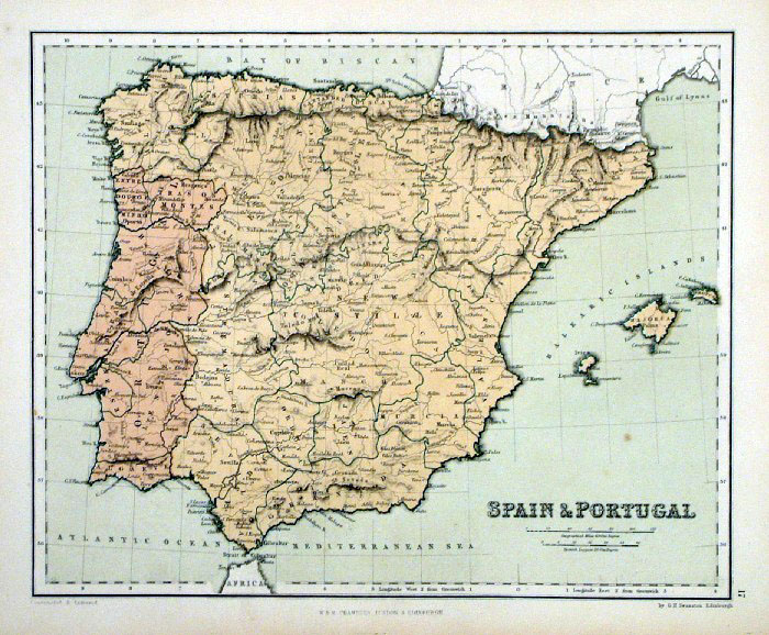
Spain & Portugal
A.K. Johnston / William
Blackwood 1854 size: 320 x 250 mm, centre fold. Early full colour lithographic printing. Ref LKM013 £18.00 (+P&P) click image for enlargement |
 |
Spain & Portugal
Tyrer / Souter 1838 size: 250 x 210 mm Slight damage to centre-top border Ref JLM028 £16.00 (+P&P) click image for enlargement |
 |
Spain &
Portugal
Chambers
1855
size: 300x 240 mm Ref FDM138 % £16.00 (+P&P) click image for enlargement |
 |
Spain Sidney Hall
1845 Ref GBM201 % £22.00 (+P&P) size: 250 x 200 mm click image for enlargement |
 |
Ancient Spain Sidney
Hall 1829 Ref FIM003 % £16.00 (+P&P) size: 250 x190 mm Slight printing transfer from folded page. click image for enlargement |
 |
Spain & Portugal
Samuel Arrowsmith 1836 Ref FHM122 % £20.00 (+P&P) size: 240 x 210 mm click image for enlargement |
 |
Ancient Spain
Samuel Arrowsmith 1836 Ref FHM123 £20.00 (+P&P) size: 240 x 210 mm click image for enlargement |
 |
Ancient Spain 'Hispania'
Fenner 1828 size 150 x 120 mm Ref GIM030 % £12.00 (+P&P) click image for enlargement |
 |
Spain & Portugal
Turner 1810 size 120 x 80 mm Ref GLM025 £12.00 (+P&P) click image for enlargement |
 |
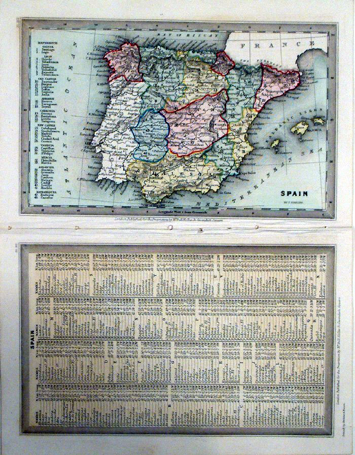
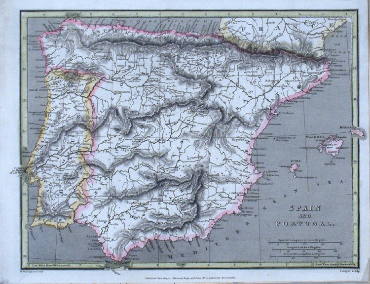
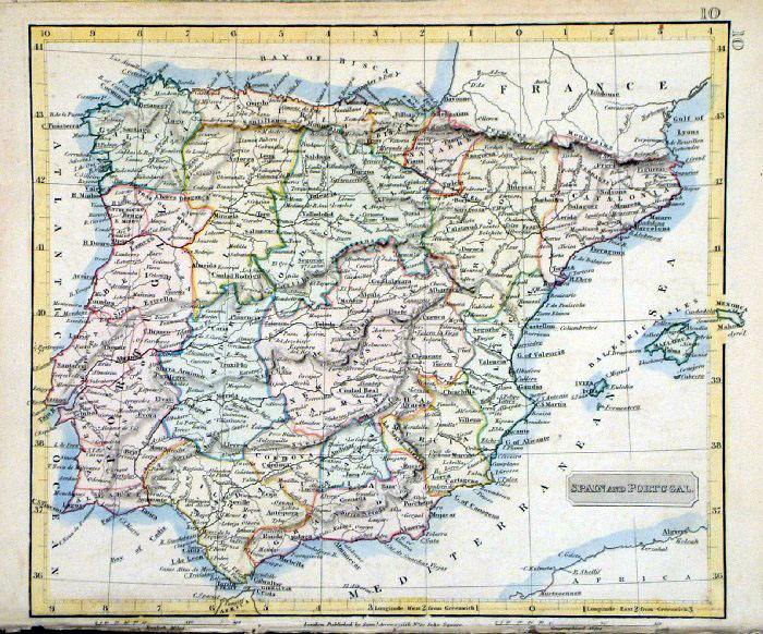
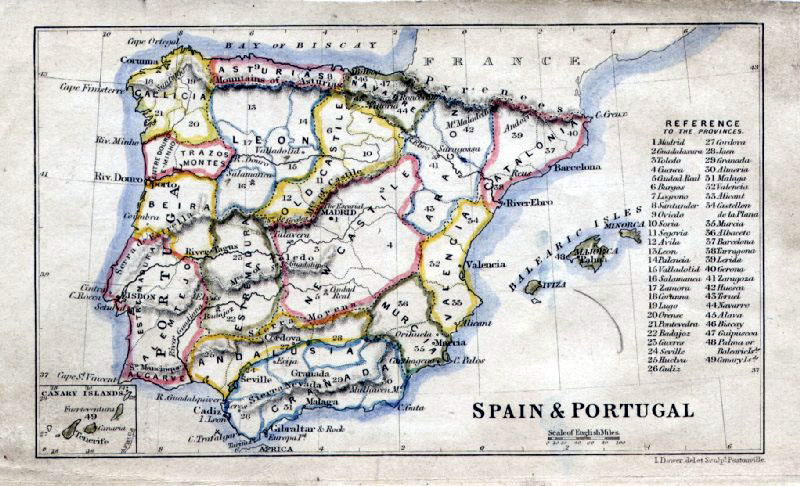
Spain & Portugal
Johnston 1885 size 460 x 350 mm Ref KGM068 £18.00 (+P&P) click image for enlargement |
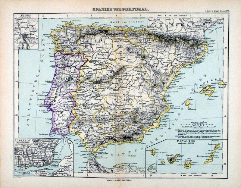 |
Spanien und Portugal Steiler
/ Perthes 1895 size: 300 x 240 mm, centre fold. insets of Lisbon, Madrid, Canaries Ref HHM070 £16.00 (+P&P) click image for enlargement |
 |
Spain & Portugal John Dower / James Cornwell c1850 size 150 x 95 mm slightly soiled surface, pencil marks on reverse. Ref RFM078 £18.00 (+P&P) click image for enlargement |
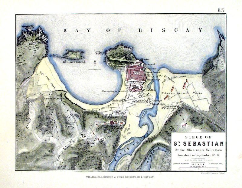 |
Siege of Sat Sebastian ..... 1813 Johnstone / Blackwood c1880 size 120 x 80 mm Ref IBM013 £18.00 (+P&P) click image for enlargement |
 |
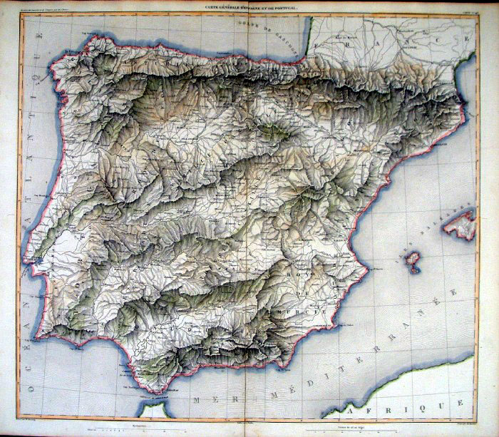
Frankreich und die
Hesperische Halbinsel .... Spain & France in Physical Relationship Winkelmann / Krais & Hoffman for Humboldt's Kosmos 1861 size: 320 x 250 mm Inset of prominent mountains Ref LDM025 £16.00 (+P&P) click image for enlargement |
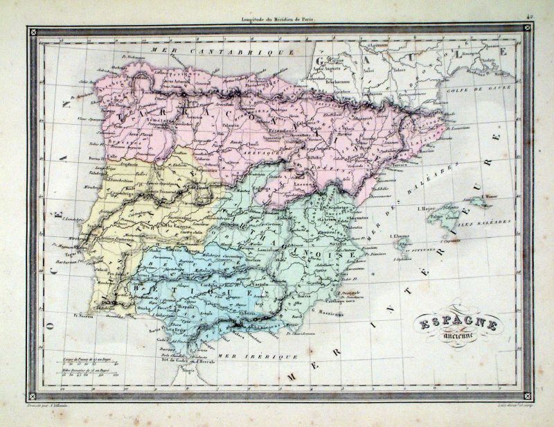 |
Espagne Ancienne Vuillemin 1851 size: 270 x 210 mm a few faint spots of foxing Ref JDM057 £12.00 (+P&P) click image for enlargement |
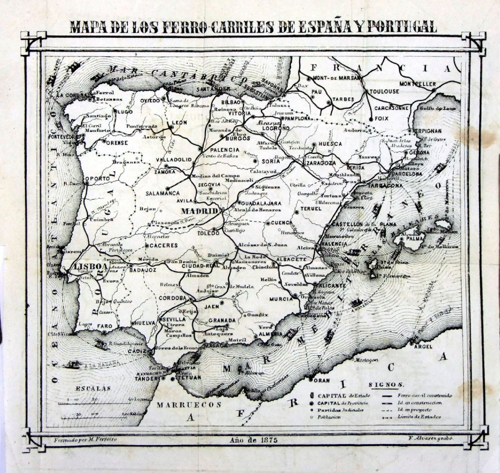 |
Mapa de los Ferro Carriles
de Espana Y Portugal Ferreiro / Alvarex 1875 A map of the railways of Spain & Portugal, also showing sea ports. size: 200 x 190 mm a few folds & faint spot of foxing at right margin Ref OGM001 £20.00 (+P&P) click image for enlargement |
Switzerland |
|
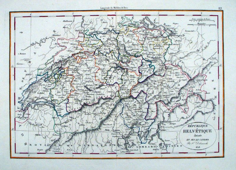 |
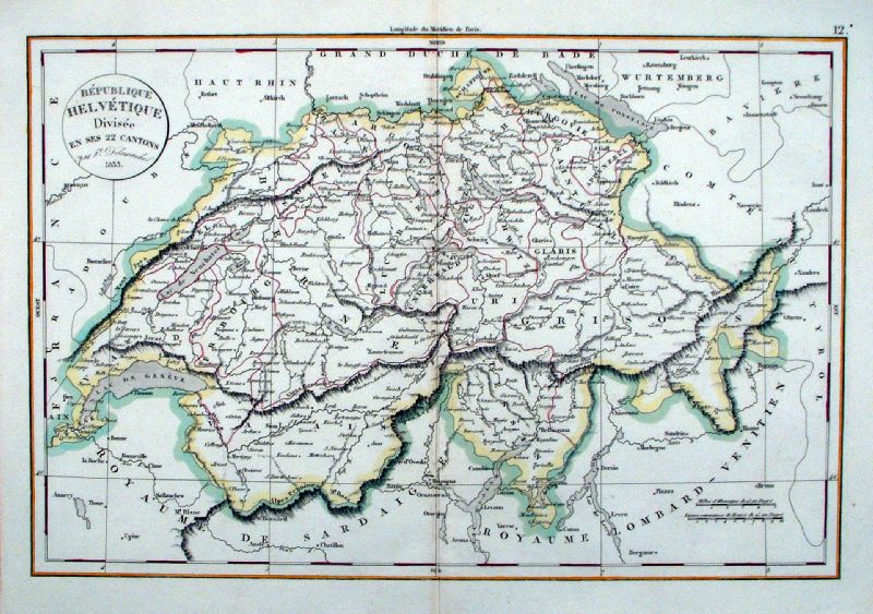
Republique Helvetique
Delamarche 1828 size: 400 x 280 mm centre fold Ref JBM001 £28.00 (+P&P) click image for enlargement |
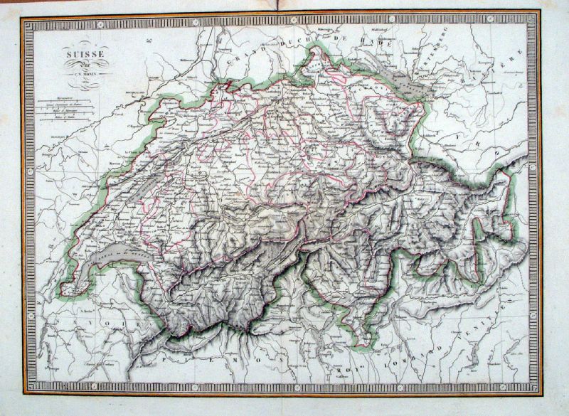 |
Suisse C V
Monin 1834 size: 400 x 300 mm centre fold , small stain & repair at fold, top margin Ref JBM002 £28.00 (+P&P) click image for enlargement |
 |
Republique Helvetique
Delamarche 1833 size: 400 x 280 mm centre fold Ref JBM003 £28.00 (+P&P) click image for enlargement |
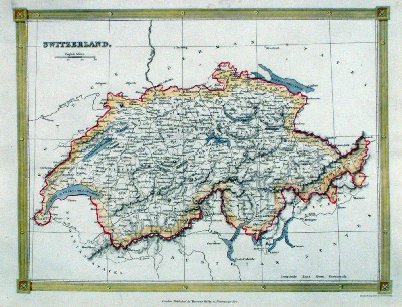 |
Switzerland Kelly /
Findlay c1840 size: 250 x 200 mm centre fold Ref JBM022 £18.00 (+P&P) click image for enlargement |
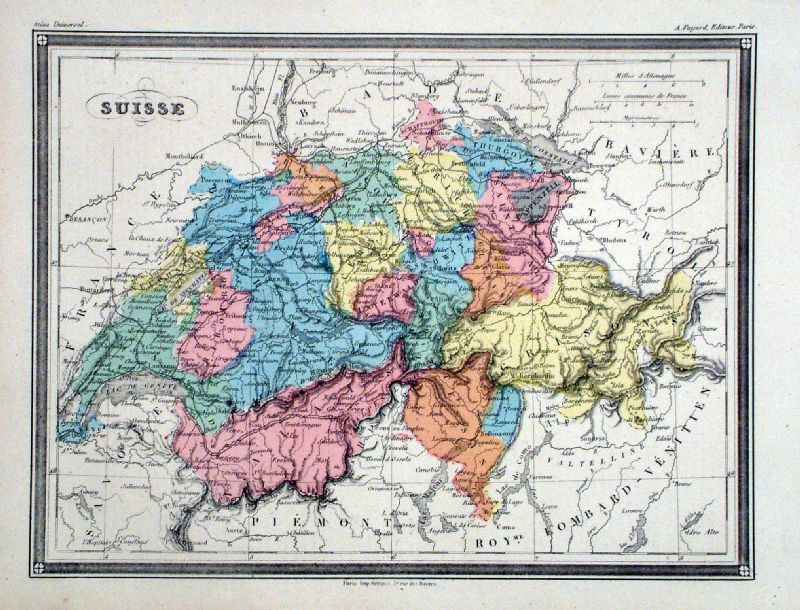 |
Suisse
Fayard 1877 size: 290 x 220 mm Ref KGM036 £20.00 (+P&P) click image for enlargement |
Turkey (Also check Asia for Turkey / Asia Minor maps) |
|
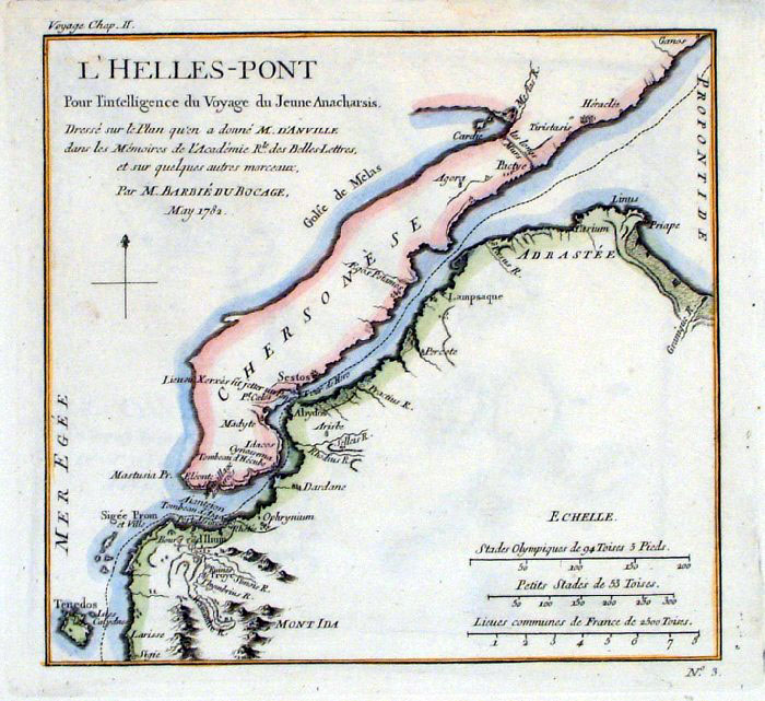 |
Dardanelles / Gelibolu Barbie
du Bocage 1791 (Maps of
Ancient Greece, published in Paris 1791)
size 200 x 180 mm Ref FHM054 £20.00 (+P&P) click image for enlargement |
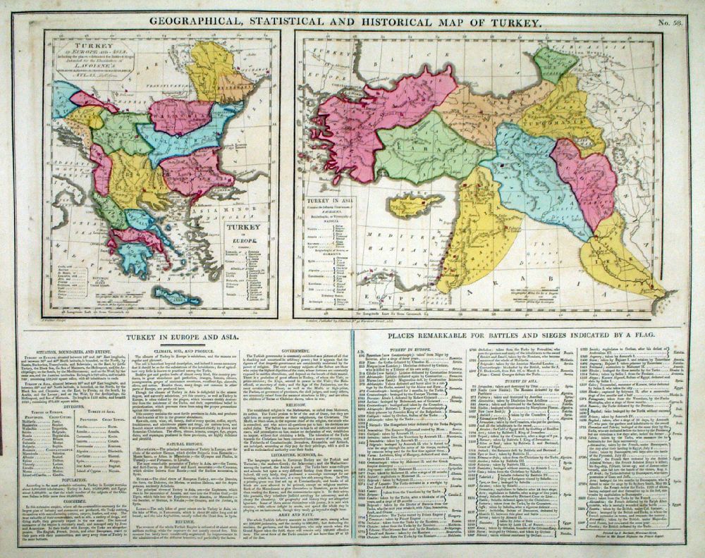 |
Geographical and
Statistical Map of Turkey (with Turkey in Europe -
Greece) Map engraved by J. Walker. Set with statistical data. From Lavoisne's Genealogical, Historical, Chronological and Geographical Atlas 1827 - Title Page For Statistics Tables and Charts from this atlas see Charts and Tables Page Copper engraving page size: 530 x 420 mm, centre fold. Ref LHM063 £50.00 (+P&P) Detail 1 Detail 2 click image for enlargement |
 |
Turkish Empire
Thomas Starling 1843 size: 150 x 95 mm Ref GBM302 £22.00 (+P&P) click image for enlargement |
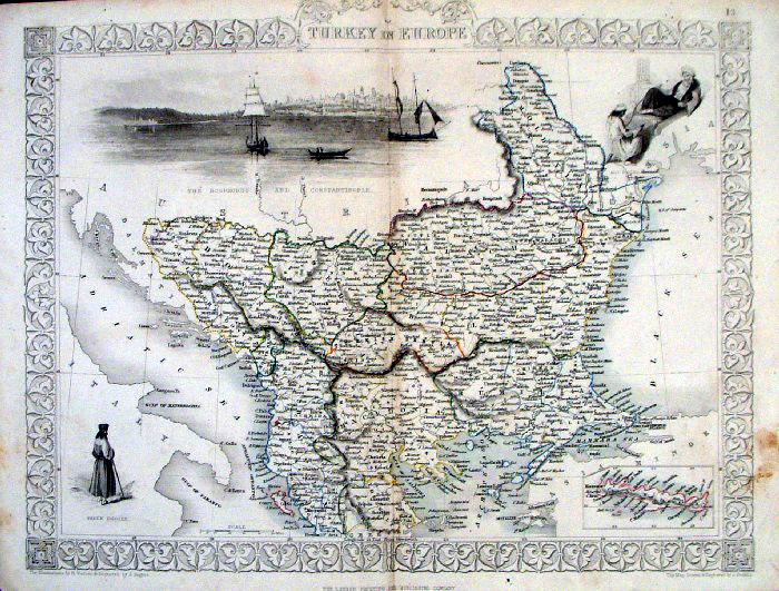 |
Turkey in Europe Tallis c1855
Steel Engraving, original outline
colour. size: 340 x 270mm Centre fold Ref FGM031 £18.00 (+P&P) very slightly soiled surface, stain on right margin Ref HLM034 £22.00 (+P&P) click image for enlargement |
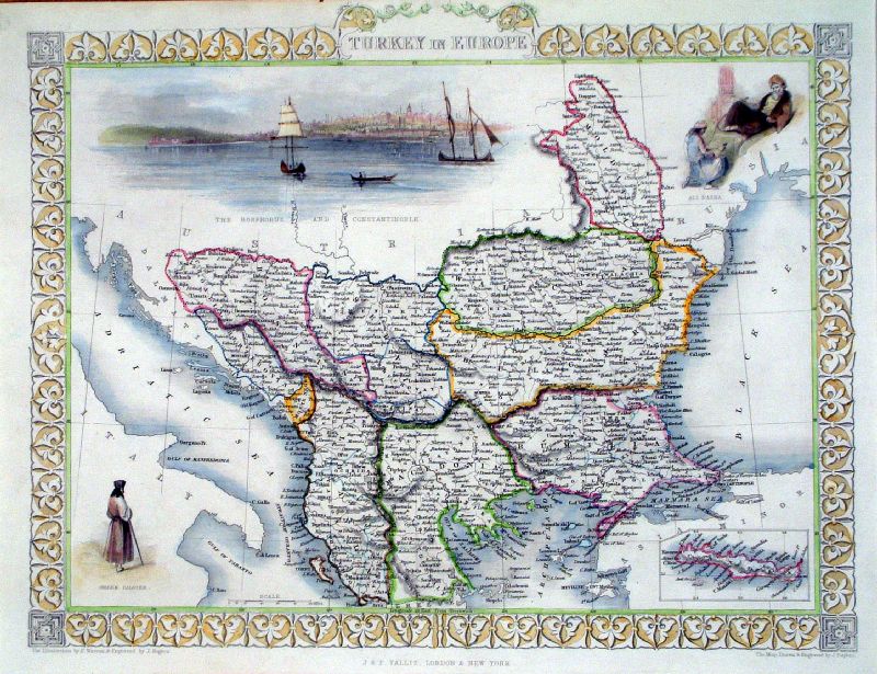 |
Turkey in Europe Tallis
1851 Steel Engraving size: 340 x 270mm Ref KGM057 £30.00 (+P&P) click image for enlargement |
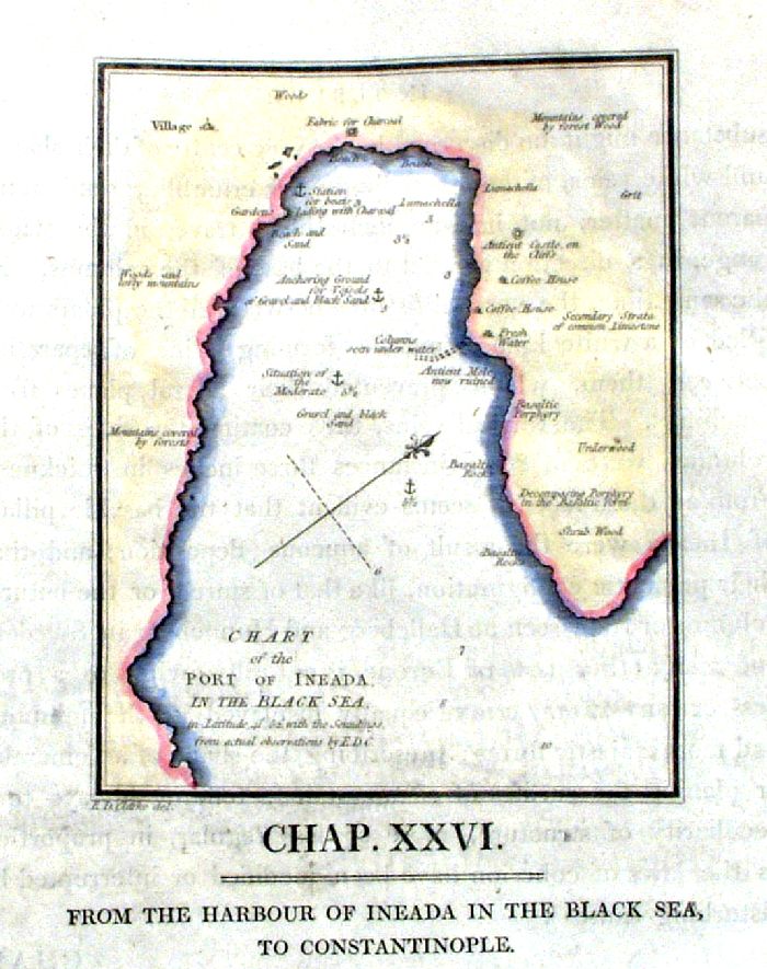 |
Port of Ineada (Igneada)in the Black
Sea ( near Limankoy) Engraved by E.D. Clarke 1809 size: 130 x 150mm Ref IIM019 £20.00 (+P&P) click image for enlargement |
|
Turkey in Europe,
Greece and Ionian Islands A.K. Johnston / William Blackwood 1854 size: 250 x 320 mm, centre fold. Early full colour lithographic printing. Ref LKM011 £18.00 (+P&P) click image for enlargement |
 |
Turkey in Europe (Greece)
Cooper / Macpherson 1809
size: 200 x 250mm Ref GCM021 % £16.00 (+P&P) click image for enlargement |
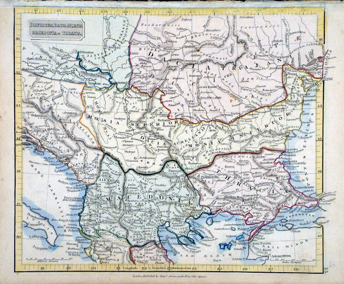 |
Ancient Northern Turkey in Europe -
Illyricum, Macedonia & Thracia
Samuel Arrowsmith 1836 Ref FHM142 % £16.00 (+P&P) size: 240 x 210 mm click image for enlargement |
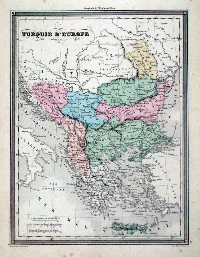 |
Turquie d' Europe Vuillemin 1851 size: 270 x 210 mm a few faint spots of foxing Ref JDM068 £12.00 (+P&P) click image for enlargement |
| All Genuine Antiquarian Maps - No Reproductions or Modern Copies |
2023

